Chalkieside

Settlement in Midlothian

Scotland

Chalkieside

A68 The Dalkeith bypass with its one layby. The overtaking lane is on a long climb. The collection of white buildings in the distance is Queen Margaret University with eastern Edinburgh to its left.
A68 Credit: Richard Webb

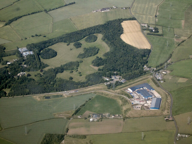
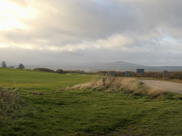
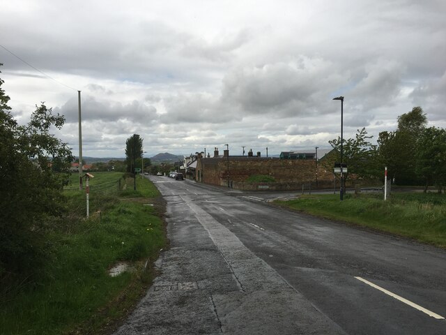
Chalkieside is a small village located in Midlothian, Scotland. Situated approximately 10 miles south of the city of Edinburgh, it is nestled amidst the picturesque countryside and rolling hills that characterize this region. The village is known for its tranquil and serene atmosphere, making it an ideal retreat for those seeking a peaceful escape from the bustling city life.

Chalkieside boasts a small population, primarily consisting of locals who have lived in the area for generations. The residents take great pride in their community and work together to maintain its charm and character. The village is characterized by its quaint cottages and well-preserved architecture, which adds to its overall appeal.

Despite its size, Chalkieside offers a range of amenities to its residents. There is a local grocery store, a post office, and a community center that serves as a hub for various activities and events. The village also has a primary school, ensuring that families have access to education within the community.

Surrounded by lush green landscapes, Chalkieside provides ample opportunities for outdoor activities. The nearby countryside is perfect for hiking, cycling, and picnicking. Additionally, the village is in close proximity to some of Scotland's finest golf courses, attracting enthusiasts from across the region.

Overall, Chalkieside exudes a sense of tranquility and offers a close-knit community atmosphere. Its idyllic setting and range of amenities make it an appealing place to live for those looking for a peaceful lifestyle in the heart of Midlothian.

If you have any feedback on the listing, please let us know in the comments section below.
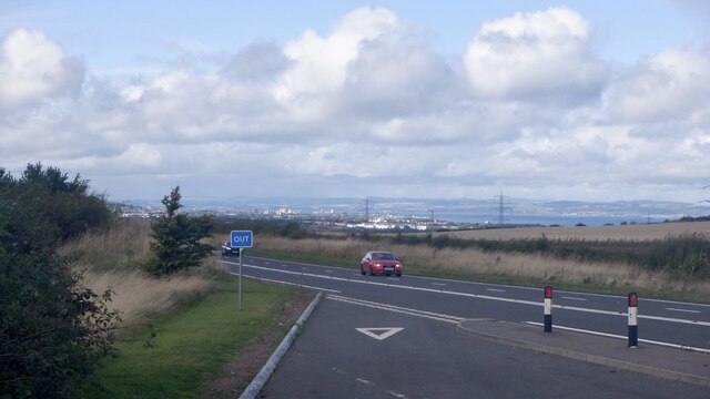
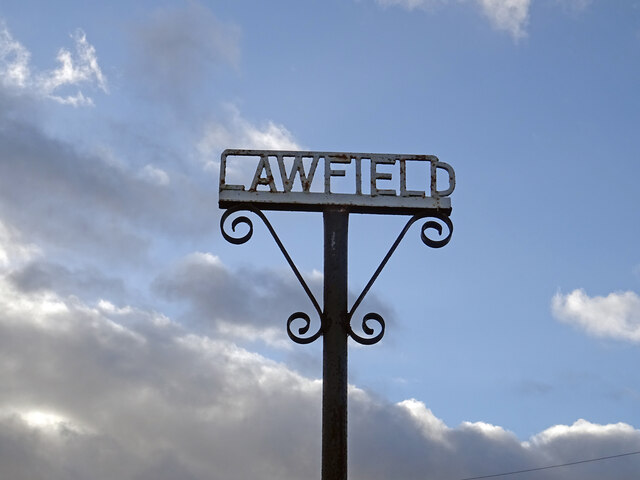
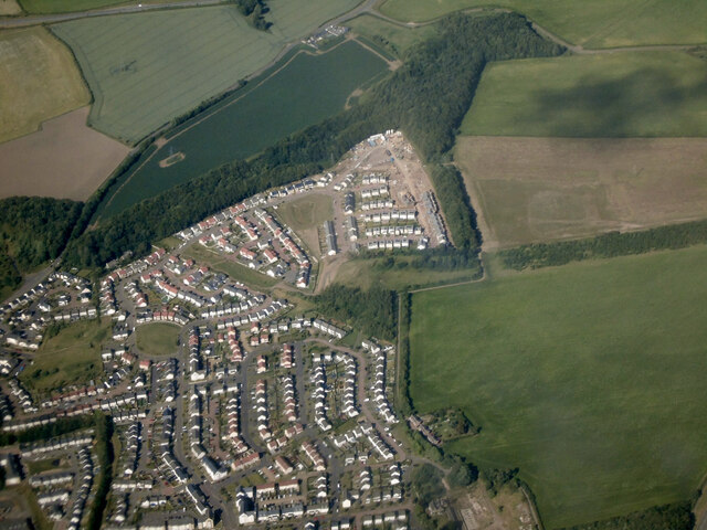
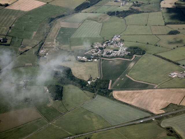
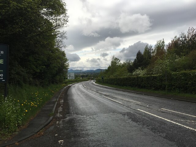
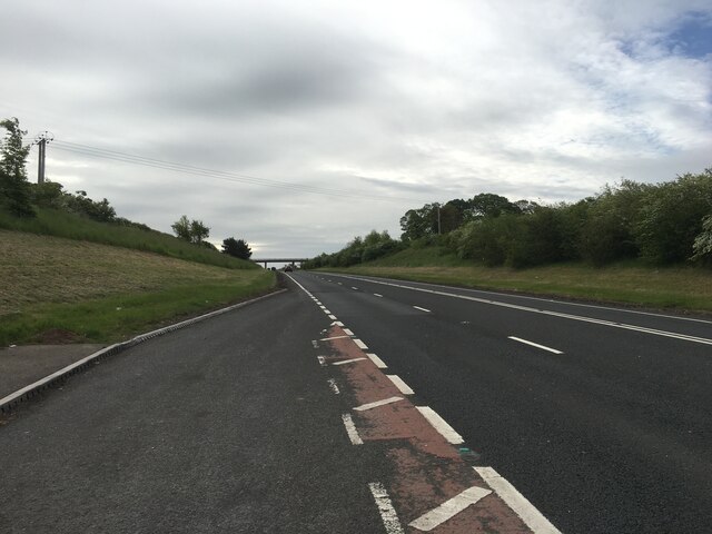
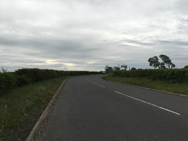
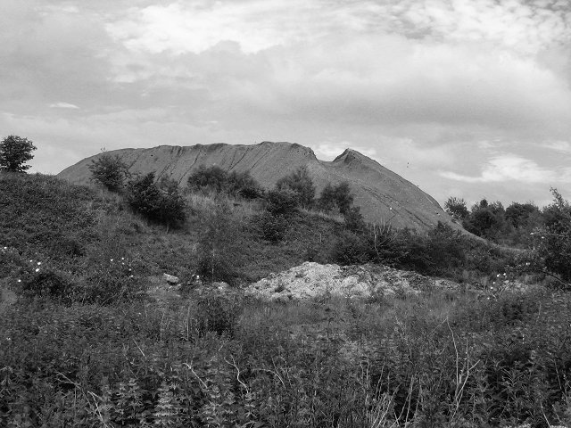
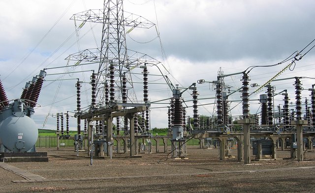
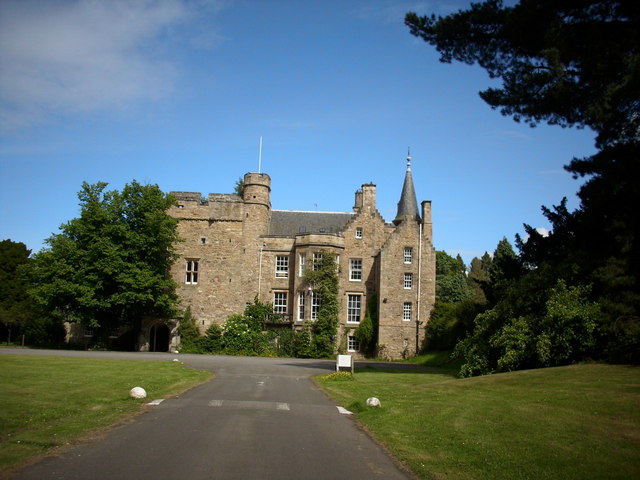
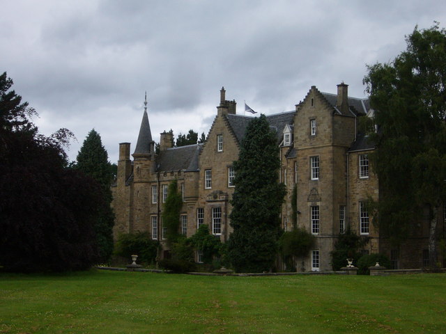
Chalkieside Images

Images are sourced within 2km of 55.900843/-3.0251154 or Grid Reference NT3668. Thanks to Geograph Open Source API. All images are credited.

A68 The Dalkeith bypass with its one layby. The overtaking lane is on a long climb. The collection of white buildings in the distance is Queen Margaret University with eastern Edinburgh to its left.
A68
The Dalkeith bypass with its one layby. The overtaking lane is on a long climb. The collection of white buildings in the distance is Queen Margaret University with eastern Edinburgh to its left.
Lawfield Farm Sign Sign on public road for Lawfield Farm and Steading above Mayfield in Midlothian.
Lawfield Farm Sign
Sign on public road for Lawfield Farm and Steading above Mayfield in Midlothian.
Dalkeith from the air Dalkeith suburbs expanding towards the east.
Dalkeith from the air
Dalkeith suburbs expanding towards the east.
Cousland from the air The A68 Dalkeith Bypass road is in the foreground.
Cousland from the air
The A68 Dalkeith Bypass road is in the foreground.
Smeaton Shaw from the air The recycling facility has greatly expanded over the years <a href="https://www.geograph.org.uk/photo/3595822">NT3668 : Former Smeaton Bing from the air</a>.

Carberry Tower House and estate can be seen in the background <span class="nowrap"><a title="https://www.carberrytower.com/" rel="nofollow ugc noopener" href="https://www.carberrytower.com/">Link</a><img style="margin-left:2px;" alt="External link" title="External link - shift click to open in new window" src="https://s1.geograph.org.uk/img/external.png" width="10" height="10"/></span> .
Smeaton Shaw from the air
The recycling facility has greatly expanded over the years NT3668 : Former Smeaton Bing from the air. Carberry Tower House and estate can be seen in the background LinkExternal link .
The A68 road from the air The grade separated junction with the A6094 Slater Road, where a house can be seen encircled by roads.
The A68 road from the air
The grade separated junction with the A6094 Slater Road, where a house can be seen encircled by roads.
Beside the A6106 The old A68 descends towards Dalkeith. Here by the bypass it is possible that development could take place.
Beside the A6106
The old A68 descends towards Dalkeith. Here by the bypass it is possible that development could take place.
Northfield Farm, Cousland Working Farm in the pretty village of Cousland near Dalkeith, at nearly 500 feet above sea level it is very wintry on the roads hereabouts.
Northfield Farm, Cousland
Working Farm in the pretty village of Cousland near Dalkeith, at nearly 500 feet above sea level it is very wintry on the roads hereabouts.
Lay-by on the A68 near Dalkeith
Road through Whitehill
A6106 towards Dalkeith
A68 Dalkeith bypass
A68 Dalkeith bypass
Road towards Fordel Dean
Track, Carberry Passing through fields surrounded by woodland.
Track, Carberry
Passing through fields surrounded by woodland.
Giants amongst giants Bulls graze amongst the pylons radiating from Cockenzie Power Station.
Giants amongst giants
Bulls graze amongst the pylons radiating from Cockenzie Power Station.
Colliery waste, Smeaton Shaw. The last remains of Dalkeith Colliery, closed around 1978.
Colliery waste, Smeaton Shaw.
The last remains of Dalkeith Colliery, closed around 1978.
Substation, Smeaton Part of a large complex of electrical installations, part of the grid used to (usually) export electricity to England.
Substation, Smeaton
Part of a large complex of electrical installations, part of the grid used to (usually) export electricity to England.
Flytipping A curse of the urban fringe. This looks like waste from a commercial source, numerous car wheels etc. The state of wear on some of the tyres is frightening, they were once driven on. A farm near here is completely surrounded by a high electric fence, to keep such vermin out.
Flytipping
A curse of the urban fringe. This looks like waste from a commercial source, numerous car wheels etc. The state of wear on some of the tyres is frightening, they were once driven on. A farm near here is completely surrounded by a high electric fence, to keep such vermin out.
Show me another place!

Chalkieside is located at Grid Ref: NT3668 (Lat: 55.900843, Lng: -3.0251154)

Unitary Authority: East Lothian

Police Authority: The Lothians and Scottish Borders

What 3 Words

///remake.provide.selection. Near Whitecraig, East Lothian

Nearby Locations

Chalkieside

Related Wikis

Dalkeith High School

Dalkeith High School is a secondary state school located in Dalkeith, Midlothian, Scotland. == History == Dalkeith High School was previously the historic...

St David's Roman Catholic High School

St David's Roman Catholic High School is a Catholic secondary state school located at Cousland Road in Dalkeith, Midlothian, Scotland. It has shared the...

Smeaton railway station

Smeaton railway station served the village of Smeaton, south of Musselburgh in East Lothian, Scotland, from 1872 to 1930 on the Macmerry Branch. ��2�...

Whitehill, Midlothian

Whitehill ( ) is a village in Midlothian in the south-east of Scotland, approximately 1.5 miles (2 km) south-east of Dalkeith and 8.5 miles (13.6 km) from...

Carberry Tower

Carberry Tower is a historic house in East Lothian, Scotland. The house is situated off the A6124 road, 2 miles (3.2 km) south-east of Musselburgh. Carberry...

Cousland

Cousland is a village in Midlothian, Scotland. It is located 4 kilometres (2.5 mi) east of Dalkeith and 3 kilometres (1.9 mi) west of Ormiston, on a hill...

Cousland Castle

Cousland Castle is a ruined castle near the town of Cousland, Midlothian, Scotland. == Structure == The 16th century ruins of the tower house and enclosure...

Carberry, East Lothian

Carberry is a village in East Lothian, Scotland, United Kingdom is situated off the A6124 road, a mile east of Whitecraig, two miles south east of Musselburgh...

Nearby Amenities

Located within 500m of 55.900843,-3.0251154
Design: barrel
Power: tower
Lat/Long: 55.9041551/-3.0212817
Langside Head
Place: hamlet
Lat/Long: 55.9020371/-3.0305757
Langside
Place: hamlet
Lat/Long: 55.9045406/-3.0294703
Power: pole
Lat/Long: 55.9014738/-3.0284892
Power: pole
Lat/Long: 55.9003501/-3.0263507
Power: pole
Lat/Long: 55.8997905/-3.0263995
Power: pole
Lat/Long: 55.8992184/-3.0264707
Power: pole
Lat/Long: 55.8989791/-3.027859
Power: pole
Lat/Long: 55.8987398/-3.029288
Power: pole
Lat/Long: 55.9020367/-3.0295721
Power: pole
Lat/Long: 55.9029313/-3.0312539
Power: pole
Lat/Long: 55.898496/-3.0307031
Power: pole
Lat/Long: 55.9009836/-3.0275563
Power: pole
Lat/Long: 55.897441/-3.0200614
Power: pole
Lat/Long: 55.8980625/-3.019853
Power: pole
Lat/Long: 55.8985111/-3.0197009
Power: pole
Lat/Long: 55.8990882/-3.0195113
Power: pole
Lat/Long: 55.8996723/-3.0204615
Power: pole
Lat/Long: 55.8997669/-3.0192946
Power: pole
Lat/Long: 55.8993417/-3.0249393
Power: pole
Lat/Long: 55.8994504/-3.0234641
Power: pole
Lat/Long: 55.899559/-3.0219326
Power: pole
Lat/Long: 55.8999305/-3.0176548
The data included in this document is from www.openstreetmap.org. The data is made available under ODbL.

Have you been to Chalkieside?

Leave your review of Chalkieside below (or comments, questions and feedback).