Nutcombe Copse
Wood, Forest in Hampshire East Hampshire
England
Nutcombe Copse
Nutcombe Copse is a picturesque woodland located in Hampshire, England. Covering an area of approximately 50 hectares, it is a haven for nature enthusiasts and outdoor lovers alike. The copse is situated near the village of Nutbourne, surrounded by rolling hills and scenic landscapes.
Characterized by its diverse range of tree species, Nutcombe Copse is predominantly made up of native deciduous trees such as oak, beech, and ash. These towering trees create a dense canopy, providing shade and shelter for a variety of wildlife. The forest floor is adorned with a rich carpet of wildflowers, ferns, and mosses, further enhancing its natural beauty.
The copse is crisscrossed by a network of well-maintained footpaths, allowing visitors to explore and immerse themselves in the tranquil surroundings. These pathways guide visitors through different sections of the woodland, each with its own unique charm and ambiance.
Nutcombe Copse is renowned for its abundant wildlife. Birdwatchers can spot a variety of species, including woodpeckers, tawny owls, and nuthatches. The woodland is also home to a thriving population of deer, badgers, and foxes, providing ample opportunities for wildlife enthusiasts to observe these creatures in their natural habitat.
A visit to Nutcombe Copse offers more than just a chance to connect with nature. The copse is also steeped in history, with remnants of ancient earthworks and burial mounds dating back to the Neolithic era. These archaeological features add an intriguing element to the woodland, allowing visitors to delve into its past.
Overall, Nutcombe Copse is a captivating woodland destination, offering a peaceful escape from the bustle of everyday life. Its natural beauty, diverse wildlife, and historical significance make it a must-visit location for anyone seeking to reconnect with nature and explore Hampshire's countryside.
If you have any feedback on the listing, please let us know in the comments section below.
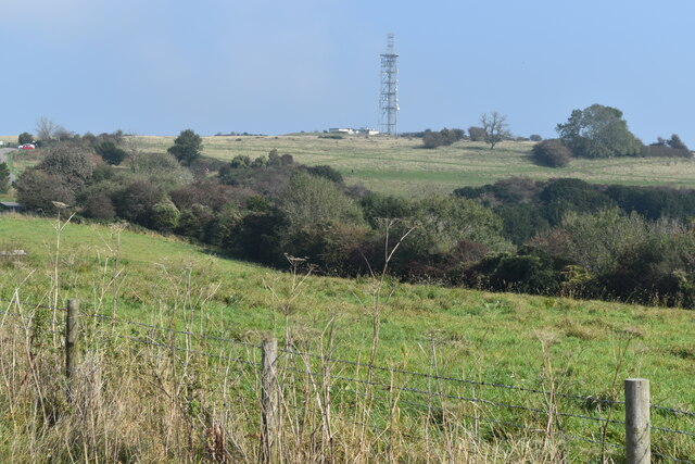
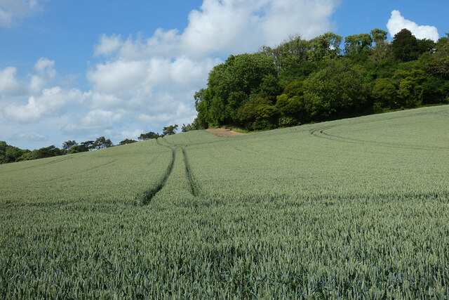
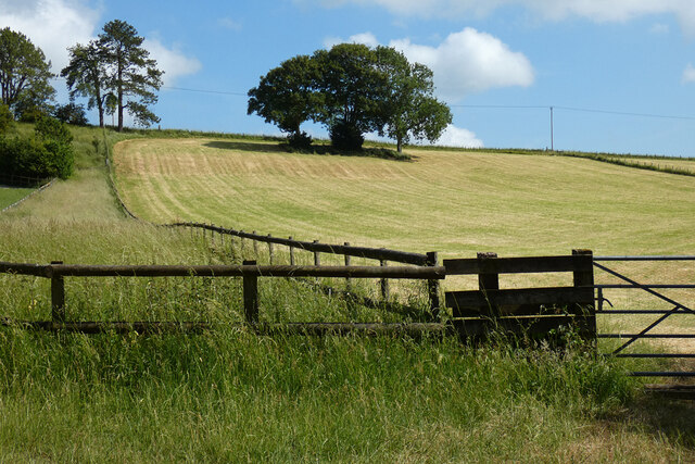
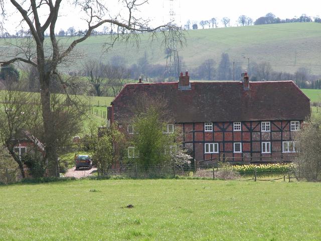
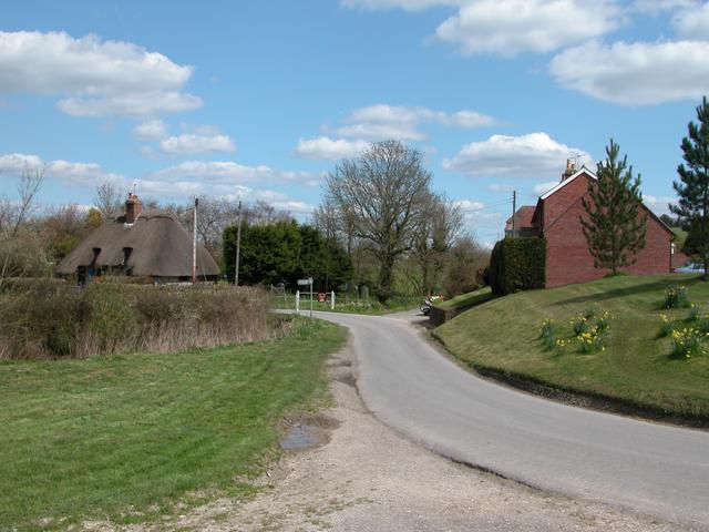
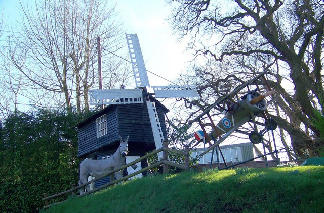
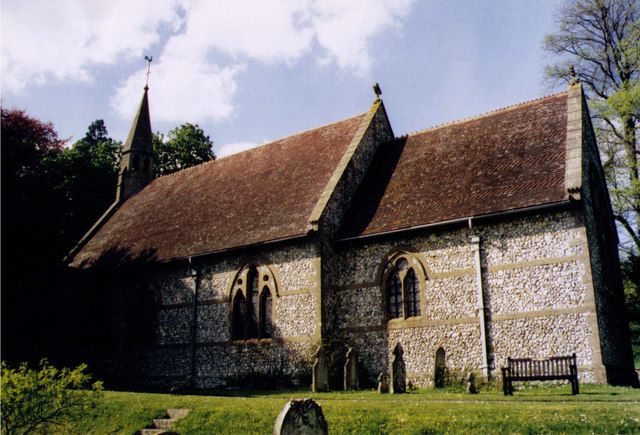
Nutcombe Copse Images
Images are sourced within 2km of 50.992178/-0.98506922 or Grid Reference SU7121. Thanks to Geograph Open Source API. All images are credited.


Nutcombe Copse is located at Grid Ref: SU7121 (Lat: 50.992178, Lng: -0.98506922)
Administrative County: Hampshire
District: East Hampshire
Police Authority: Hampshire
What 3 Words
///drifting.liability.consonant. Near Petersfield, Hampshire
Nearby Locations
Related Wikis

Ramsdean
Ramsdean is a village in the East Hampshire district of Hampshire, England. It is 2.7 miles (4.3 km) west of Petersfield. The nearest railway station is...
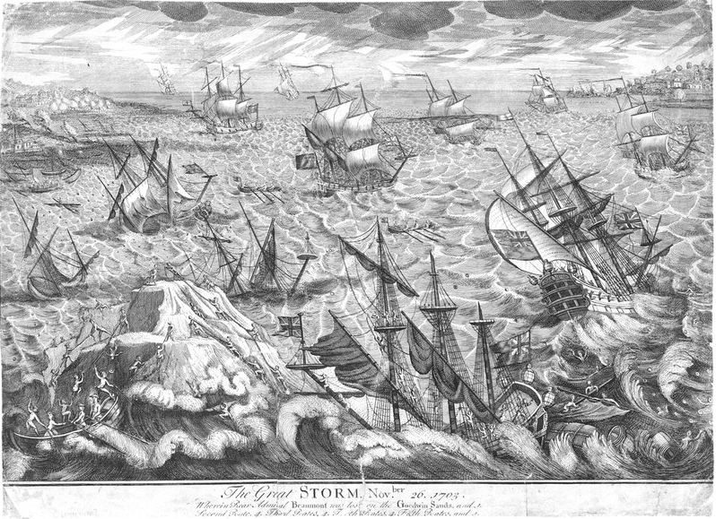
Great storm of 1703
The Great storm of 1703 was a destructive extratropical cyclone that struck central and southern England on 26 November 1703. High winds caused 2,000 chimney...

East Hampshire (UK Parliament constituency)
East Hampshire is a constituency represented in the House of Commons of the UK Parliament since 2010 by Damian Hinds of the Conservative Party.Further...
Weston, East Hampshire
Weston is a hamlet in the East Hampshire district of Hampshire, England. It is in the civil parish of Buriton. It is 1.4 miles (2.3 km) southwest of Petersfield...

Butser Hill
Butser Hill is a hill and nature reserve in Hampshire, England. South-west of Petersfield, it is a 239.7-hectare (592-acre) biological and geological Site...

Stroud, Hampshire
Stroud () is a village and civil parish in the East Hampshire district of Hampshire, England. It is 1.4 miles (2.3 km) west of Petersfield, on the A272...
Langrish
Langrish is a village and civil parish in the East Hampshire district of Hampshire, England. It is next to the civil parish of Stroud and is 2.7 miles...
Pidham Hill
Pidham Hill is a hill in the county of Hampshire, England. The summit elevation is 699 feet (213 m) AMSL. Pidham Hill is about 2 kilometres east-northeast...
Nearby Amenities
Located within 500m of 50.992178,-0.98506922Have you been to Nutcombe Copse?
Leave your review of Nutcombe Copse below (or comments, questions and feedback).