Peck Copse
Wood, Forest in Hampshire East Hampshire
England
Peck Copse
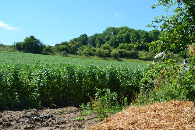
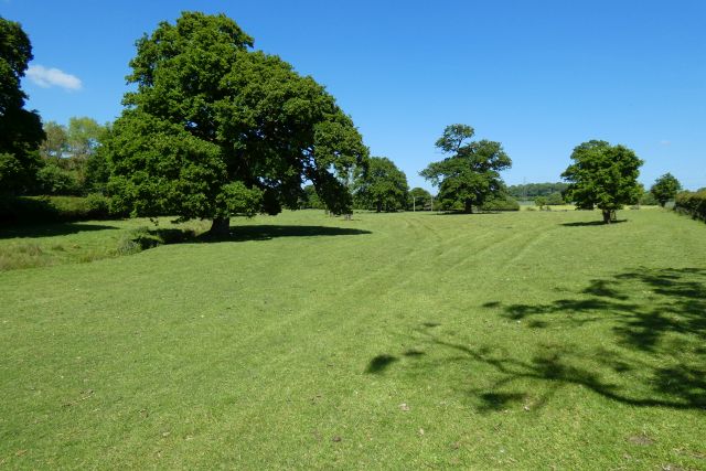
Peck Copse is a quaint woodland located in the county of Hampshire, England. Situated in the southern part of the county, it covers an area of approximately 50 hectares. The copse is known for its dense and diverse vegetation, making it an ideal habitat for various flora and fauna.
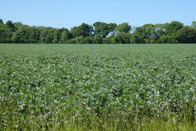
The woodland is predominantly composed of broadleaf trees, including oak, beech, and ash, which provide a beautiful canopy during the summer months. These trees are interspersed with smaller shrubs and plants such as bluebells, wild garlic, and foxgloves, adding vibrant colors to the forest floor.
Peck Copse is home to a rich variety of wildlife. Bird enthusiasts can spot species such as woodpeckers, tits, and thrushes, while lucky visitors may even catch a glimpse of the elusive tawny owl. The copse also provides a habitat for small mammals like squirrels, badgers, and foxes, as well as a range of insects and butterflies.
The woodland offers several walking trails, allowing visitors to explore its beauty at their own pace. These paths wind through the trees, providing a peaceful and tranquil escape from the hustle and bustle of daily life. In addition, the copse has designated picnic areas, making it an ideal spot for families to enjoy a day out surrounded by nature.
Overall, Peck Copse in Hampshire is a picturesque woodland, offering a serene and enchanting experience for nature lovers and wildlife enthusiasts alike. Its lush vegetation, diverse wildlife, and peaceful atmosphere make it a must-visit destination for anyone seeking solace in the beauty of the natural world.
If you have any feedback on the listing, please let us know in the comments section below.
Peck Copse Images
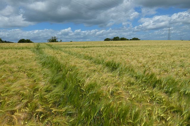
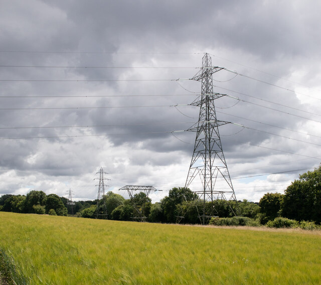
Images are sourced within 2km of 51.127822/-0.9739684 or Grid Reference SU7137. Thanks to Geograph Open Source API. All images are credited.


Peck Copse is located at Grid Ref: SU7137 (Lat: 51.127822, Lng: -0.9739684)
Administrative County: Hampshire
District: East Hampshire
Police Authority: Hampshire
What 3 Words
///exulted.watchdogs.polo. Near Alton, Hampshire
Nearby Locations
Related Wikis

Chawton
Chawton is a village and civil parish in the East Hampshire district of Hampshire, England. The village lies within the South Downs National Park and is...

Jane Austen's House Museum
Jane Austen's House Museum is a small independent museum in the village of Chawton near Alton in Hampshire. It is a writer's house museum occupying the...

Butts Junction
Butts Junction was a railway junction located in Alton in Hampshire, England. The junction was the location at which the Basingstoke and Alton Light Railway...

Massey's Folly
Massey's Folly was built by Thomas Hacket Massey who served as rector in Farringdon village in Hampshire for 62 years. The folly took thirty years to build...
Treloar's Hospital Platform railway station
Treloar's Hospital Platform (also known as Alton Park and Cripples' Home Siding) was a railway station which served Lord Mayor Treloar's hospital in Alton...

All Saints' Church, Alton
All Saints' Church is an Anglican church in Alton, Hampshire, England. It is a Grade II listed building by English Heritage.

Farringdon, Hampshire
Farringdon is a village in the East Hampshire district of Hampshire in England. The village is 2.8 miles (4.5 km) south of Alton, on the A32 road, close...

West Worldham
West Worldham is a small village and former civil parish, now in the parish of Worldham, in the East Hampshire district of Hampshire, England. It is 2...
Nearby Amenities
Located within 500m of 51.127822,-0.9739684Have you been to Peck Copse?
Leave your review of Peck Copse below (or comments, questions and feedback).