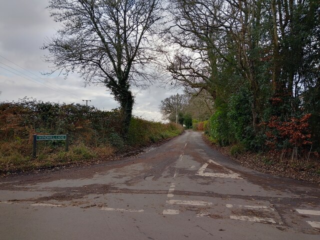
Angel's Copse

Wood, Forest in Berkshire

England

Angel's Copse

Windmill Lane Off Carbinswood Lane, leading to School Hill.
Windmill Lane Credit: Oscar

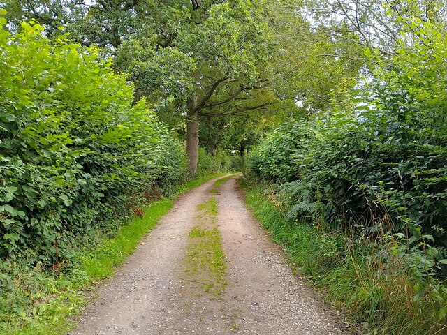
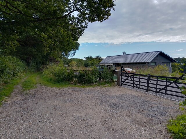
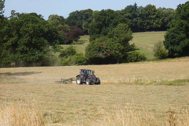
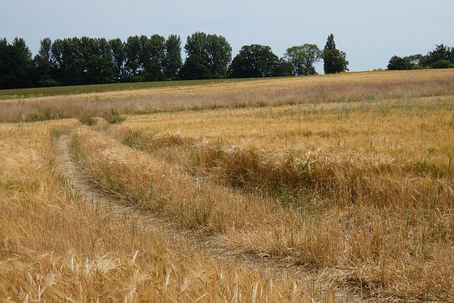
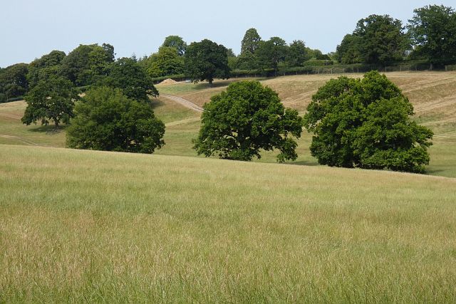
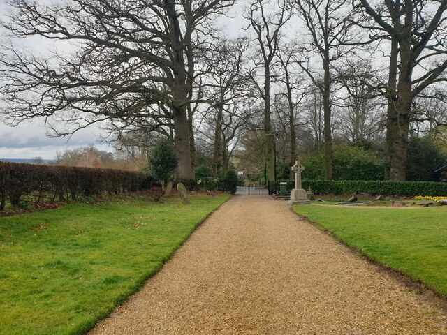
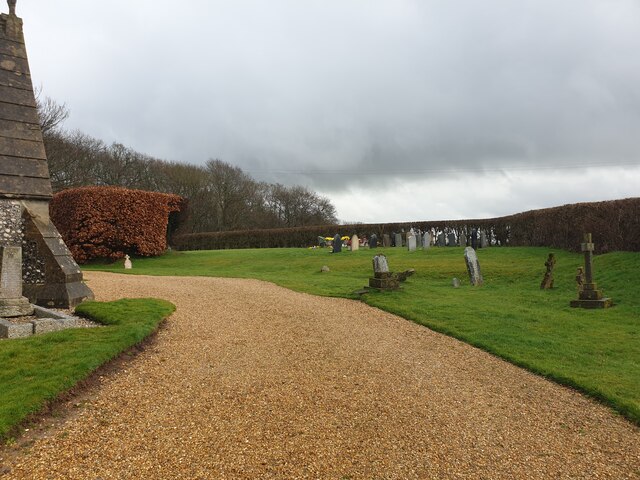
Angel's Copse is a serene woodland located in the picturesque county of Berkshire, England. Nestled amidst rolling hills and verdant meadows, this enchanting forest is a haven for nature enthusiasts and a cherished gem in the region. Spanning over 50 acres, Angel's Copse is a captivating blend of ancient woodland and flourishing flora, offering visitors a tranquil retreat from the hustle and bustle of everyday life.

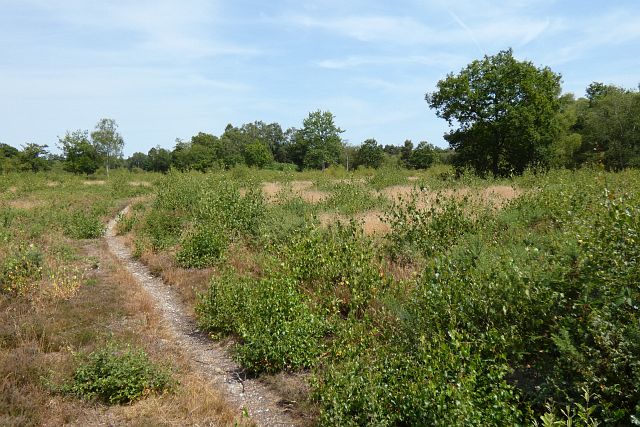
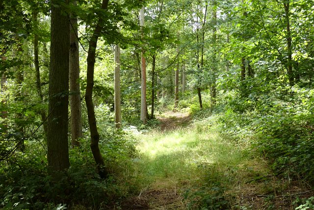
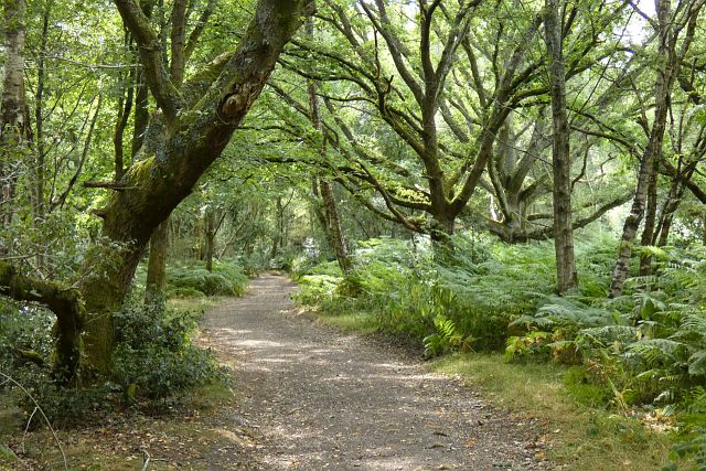
The forest boasts a diverse range of tree species, including mighty oaks, graceful beeches, and towering pines, which create a stunning canopy overhead. The forest floor is adorned with a vibrant carpet of wildflowers, adding bursts of color to the already breathtaking landscape. The air is filled with the sweet scent of moss and earth, accompanied by the gentle rustling of leaves.

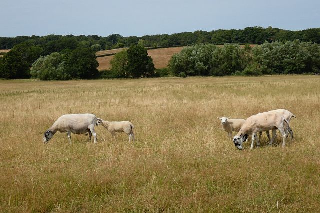
Angel's Copse is home to a plethora of wildlife, providing a habitat for a variety of species. Visitors may catch glimpses of elusive deer, playful squirrels, and a myriad of bird species, including woodpeckers and songbirds. The forest also houses a small pond, attracting a diverse range of aquatic life.

With its well-maintained trails and peaceful atmosphere, Angel's Copse is a popular destination for hikers, cyclists, and nature lovers. The forest offers a network of winding paths, allowing visitors to explore its hidden nooks and crannies. It also provides a tranquil setting for picnics and leisurely strolls.

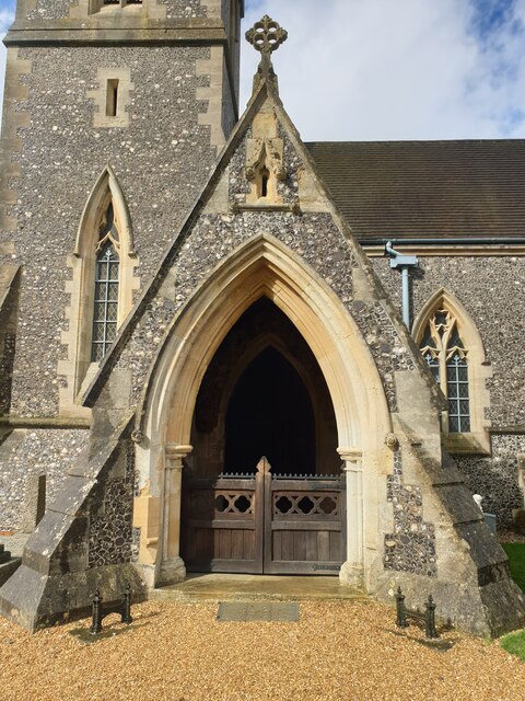
Angel's Copse is not only a natural haven but also holds historical significance. The woodland has witnessed centuries of human activity, with remnants of ancient settlements and historical landmarks scattered throughout. These remnants serve as a testament to the forest's rich heritage.

In conclusion, Angel's Copse in Berkshire is a captivating woodland that offers a harmonious blend of natural beauty and historical significance. Its lush greenery, diverse wildlife, and peaceful ambiance make it a must-visit destination for those seeking solace in nature.

If you have any feedback on the listing, please let us know in the comments section below.

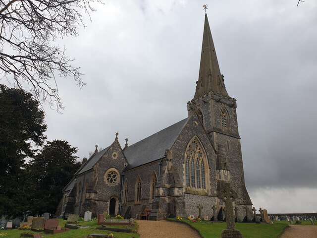
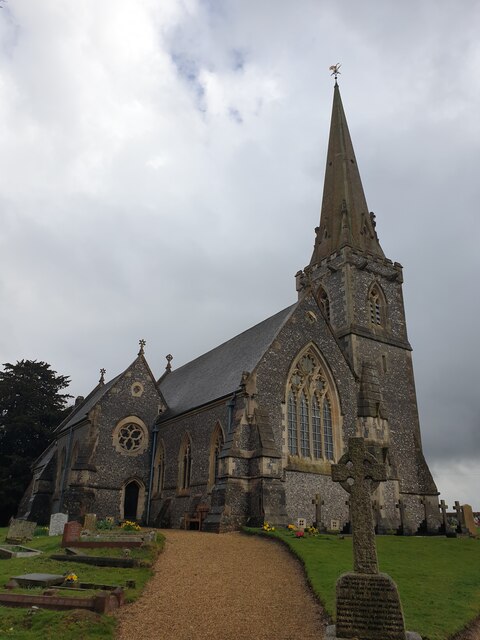
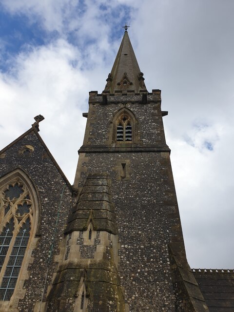
Angel's Copse Images

Images are sourced within 2km of 51.410662/-1.1888355 or Grid Reference SU5668. Thanks to Geograph Open Source API. All images are credited.

Windmill Lane Off Carbinswood Lane, leading to School Hill.
Windmill Lane
Off Carbinswood Lane, leading to School Hill.
Douai Abbey A Benedictine Abbey in Upper Woolhampton. The abbey was completed in 1993.
Douai Abbey
A Benedictine Abbey in Upper Woolhampton. The abbey was completed in 1993.
Douai Abbey A Benedictine Abbey in Upper Woolhampton. The abbey was completed in 1993.
Douai Abbey
A Benedictine Abbey in Upper Woolhampton. The abbey was completed in 1993.
Chapel Row bridleway A bridleway that runs from Chapel Row to Jewell's Farm.
Chapel Row bridleway
A bridleway that runs from Chapel Row to Jewell's Farm.
St Crispins Farm bridleway A bridleway passing the farm.
St Crispins Farm bridleway
A bridleway passing the farm.
Farmland, Midgham Hay-making in the eastern part of Midgham Park seen from the start of a footpath at Hallcourt Farm.
Farmland, Midgham
Hay-making in the eastern part of Midgham Park seen from the start of a footpath at Hallcourt Farm.
Common, Bucklebury A bridleway crosses an open area near the southern edge of the common.
Common, Bucklebury
A bridleway crosses an open area near the southern edge of the common.
Woodland, Midgham The northern edge of Channel Wood beside a public footpath.
Woodland, Midgham
The northern edge of Channel Wood beside a public footpath.
Farmland, Bucklebury Fields of spring barley to the west of Copyhold Farm.
Farmland, Bucklebury
Fields of spring barley to the west of Copyhold Farm.
Pasture, Beenham Sheep grazing beside a footpath to the east of Greyfield Wood.
Pasture, Beenham
Sheep grazing beside a footpath to the east of Greyfield Wood.
Woodland, Bucklebury One of the more mature areas of woodland on Bucklebury Common.
Woodland, Bucklebury
One of the more mature areas of woodland on Bucklebury Common.
Pasture, Bucklebury The upper part of Bucklebury Farm Park viewed from the adjacent common.
Pasture, Bucklebury
The upper part of Bucklebury Farm Park viewed from the adjacent common.
St Matthew's Church St Matthew's Church in Midgham, viewed from the gate by the car park. The church is Grade II listed, list entry number 1303395 <span class="nowrap"><a title="https://historicengland.org.uk/listing/the-list/list-entry/1303395" rel="nofollow ugc noopener" href="https://historicengland.org.uk/listing/the-list/list-entry/1303395">Link</a><img style="margin-left:2px;" alt="External link" title="External link - shift click to open in new window" src="https://s1.geograph.org.uk/img/external.png" width="10" height="10"/></span>
St Matthew's Church
St Matthew's Church in Midgham, viewed from the gate by the car park. The church is Grade II listed, list entry number 1303395 LinkExternal link
St Matthew's Church tower The tower of St Matthew's Church in Midgham.
St Matthew's Church tower
The tower of St Matthew's Church in Midgham.
Path at St Matthew's Church The wide gravel path at St Matthew's Church. It leads from the car park to the various entrances.
Path at St Matthew's Church
The wide gravel path at St Matthew's Church. It leads from the car park to the various entrances.
Graveyard at St Matthew's Church The graveyard at St Matthew's Church, viewed from the wide gravel path.
Graveyard at St Matthew's Church
The graveyard at St Matthew's Church, viewed from the wide gravel path.
St Matthew's Church porch The porch leading to the main entrance of St Matthew's Church. There is a gate to enter the porch. There is an 'open' sign on one of the window sills in the porch, but the church was not open.
St Matthew's Church porch
The porch leading to the main entrance of St Matthew's Church. There is a gate to enter the porch. There is an 'open' sign on one of the window sills in the porch, but the church was not open.
Show me another place!

Angel's Copse is located at Grid Ref: SU5668 (Lat: 51.410662, Lng: -1.1888355)

Unitary Authority: West Berkshire

Police Authority: Thames Valley

What 3 Words

///tastes.teacher.client. Near Thatcham, Berkshire

Related Wikis

Midgham Green

Midgham Green is a hamlet in the civil parish of Midgham in the English county of Berkshire. The settlement lies near to the A4 road and is located approximately...

Bucklebury Common

Bucklebury Common is an elevated common consisting of woodland with a few relatively small clearings in the English county of Berkshire, within the civil...

Douai Abbey

Douai Abbey is a Benedictine Abbey at Upper Woolhampton, near Thatcham, in the English county of Berkshire, situated within the Roman Catholic Diocese...

Chapel Row

Chapel Row is a hamlet in West Berkshire, England, and part of the civil parish of Bucklebury. In 2019 it had an estimated population of 627. == History... ==

Elstree School

Elstree School is an English preparatory school for children aged 3–13 at Woolhampton House in Woolhampton, near Newbury in the English county of Berkshire...

Midgham

Midgham is a village and civil parish occupying slopes and the flood plain on the north side of the River Kennet, which in summer months draws much of...

Upper Woolhampton

Upper Woolhampton is a village in the English county of Berkshire. It is situated on higher ground, 0.5 miles (800 m) to the north of the parent village...

The Bladebone Inn

The Bladebone Inn is a public house at Chapel Row in the civil parish of Bucklebury in the English county of Berkshire. == History == Records show that...

Nearby Amenities

Located within 500m of 51.410662,-1.1888355
Turning Loop
Lat/Long: 51.4122622/-1.1900116
The data included in this document is from www.openstreetmap.org. The data is made available under ODbL.

Have you been to Angel's Copse?

Leave your review of Angel's Copse below (or comments, questions and feedback).