Rookery Plantation

Wood, Forest in Hampshire Winchester

England

Rookery Plantation

B3046 Basingstoke Road Towards Basingstoke.
B3046 Basingstoke Road Credit: Robin Webster

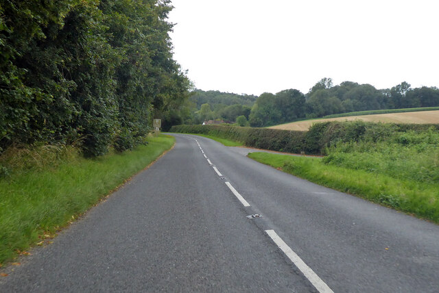
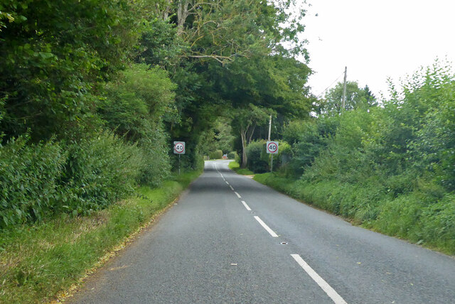
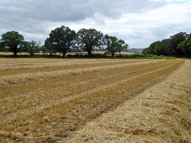
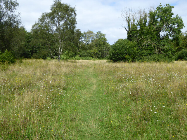
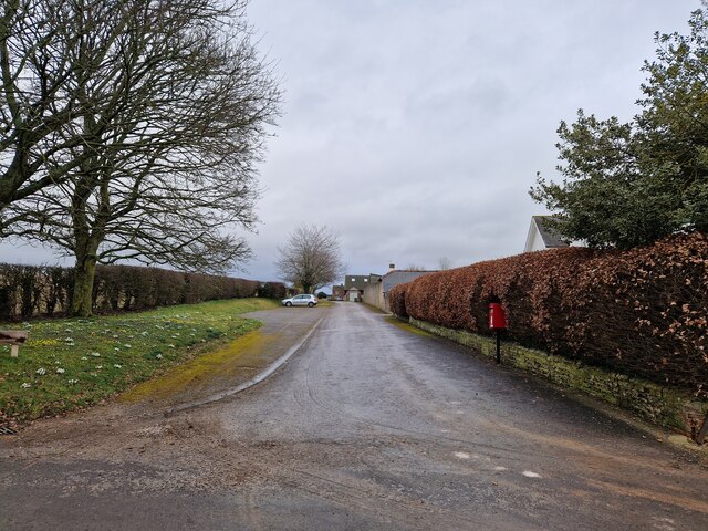
Rookery Plantation is a charming woodland area located in Hampshire, England. Situated within the larger Rookery Forest, this plantation covers a vast expanse of approximately 100 acres. It is renowned for its lush greenery, diverse flora, and tranquil atmosphere, making it a popular destination for nature enthusiasts and hikers alike.

The plantation is predominantly composed of deciduous trees, such as oak, beech, and ash, which create a picturesque landscape throughout the year. In spring, the forest floor is adorned with a colorful carpet of wildflowers, including bluebells and primroses, adding to the plantation's beauty.

Rookery Plantation boasts a well-maintained network of walking trails, allowing visitors to explore its natural wonders at their own pace. These trails wind through the plantation, providing opportunities to spot a wide variety of wildlife, including deer, foxes, and numerous species of birds.

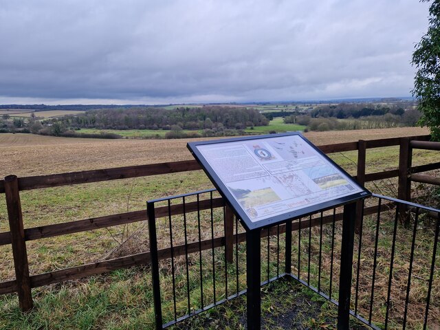
For those interested in history, Rookery Plantation holds some intriguing remnants of its past. There are traces of an ancient settlement believed to date back to the Iron Age, adding an element of mystery and archaeological interest to the area.

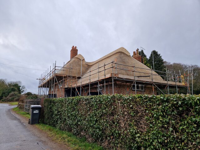
The plantation is easily accessible, with ample parking facilities and well-marked entrances. It also offers picnic areas and benches for visitors to relax and immerse themselves in the serenity of nature.

Overall, Rookery Plantation in Hampshire is a haven for nature enthusiasts, offering an opportunity to escape the hustle and bustle of everyday life and immerse oneself in the beauty of a well-preserved woodland ecosystem.

If you have any feedback on the listing, please let us know in the comments section below.

Rookery Plantation Images

Images are sourced within 2km of 51.119051/-1.1939654 or Grid Reference SU5635. Thanks to Geograph Open Source API. All images are credited.

B3046 Basingstoke Road Towards Basingstoke.
B3046 Basingstoke Road
Towards Basingstoke.
B3046 Basingstoke Road Towards Basingstoke.
B3046 Basingstoke Road
Towards Basingstoke.
Mown field south of bridleway 127/15/2
Path, Abbotstone Down A Hampshire County Council property, the grassland is very floriferous.
Path, Abbotstone Down
A Hampshire County Council property, the grassland is very floriferous.
Postbox at Pobdown Farm
Cottage opposite the watercress beds being re-thatched
Alresford Historical Society Spitfire Memorial For more details see <span class="nowrap"><a title="https://www.alresfordhistandlit.co.uk/page15.html" rel="nofollow ugc noopener" href="https://www.alresfordhistandlit.co.uk/page15.html">Link</a><img style="margin-left:2px;" alt="External link" title="External link - shift click to open in new window" src="https://s1.geograph.org.uk/img/external.png" width="10" height="10"/></span>
Alresford Historical Society Spitfire Memorial
For more details see LinkExternal link
Rush hour in Northington (revisited)
Northington Grange The Grange, now an empty shell, was one of the first houses in Europe re-modelled along classical Greek lines. <a href="https://www.geograph.org.uk/photo/149292">SU5636 : The Grange - western facade</a> was the only part of the building not clad in a classical facade.
In the 1970s the owner planned to demolish it and it was only after all the fittings had been sold and the roof removed that the building was rescued by the Department of the Environment. In 1980 it was re-roofed some parts restored. For more see <span class="nowrap"><a title="http://www.astoft.co.uk/grange.htm" rel="nofollow ugc noopener" href="http://www.astoft.co.uk/grange.htm">Link</a><img style="margin-left:2px;" alt="External link" title="External link - shift click to open in new window" src="https://s1.geograph.org.uk/img/external.png" width="10" height="10"/></span>
Northington Grange
The Grange, now an empty shell, was one of the first houses in Europe re-modelled along classical Greek lines. SU5636 : The Grange - western facade was the only part of the building not clad in a classical facade. In the 1970s the owner planned to demolish it and it was only after all the fittings had been sold and the roof removed that the building was rescued by the Department of the Environment. In 1980 it was re-roofed some parts restored. For more see LinkExternal link
A rather small place! Totford, near Alresford. Just a pub! That's all there is!
A rather small place!
Totford, near Alresford. Just a pub! That's all there is!
A Lane near Northington Down Farm This square contains just Northington Down Farm but it is hidden behind large hedges.
A Lane near Northington Down Farm
This square contains just Northington Down Farm but it is hidden behind large hedges.
St John the Evangelist, Northington This church is set high above the village with nice views.
St John the Evangelist, Northington
This church is set high above the village with nice views.
Oxdrove Way crossing Itchen Stoke Down The Oxdrove Way heads south east across Itchen Stoke Down from Northington Road.
Oxdrove Way crossing Itchen Stoke Down
The Oxdrove Way heads south east across Itchen Stoke Down from Northington Road.
Road to Abbotstone The road to Abbotstone heads south east from its junction with Northington Road.
Road to Abbotstone
The road to Abbotstone heads south east from its junction with Northington Road.
Track and gate Newhouse Farm This track leads from Northington Road to Newhouse Farm in SU5436.
Track and gate Newhouse Farm
This track leads from Northington Road to Newhouse Farm in SU5436.
Crossroads by Northington Down Farm Left to Winchester, ahead to East Stratton, right to Northington and Alresford, coming from Itchen Abbas.
Crossroads by Northington Down Farm
Left to Winchester, ahead to East Stratton, right to Northington and Alresford, coming from Itchen Abbas.
Crossroads at Abbotstone Abbotstone is the site of an abandoned medieval village. There are just a few houses here today.
Crossroads at Abbotstone
Abbotstone is the site of an abandoned medieval village. There are just a few houses here today.
The Grange - western facade The western side of The Grange is the one side that was not encased in a Classical facade.
The Grange - western facade
The western side of The Grange is the one side that was not encased in a Classical facade.
Show me another place!

Rookery Plantation is located at Grid Ref: SU5635 (Lat: 51.119051, Lng: -1.1939654)

Administrative County: Hampshire

District: Winchester

Police Authority: Hampshire

What 3 Words

///huddled.decompose.fuels. Near New Alresford, Hampshire

Related Wikis

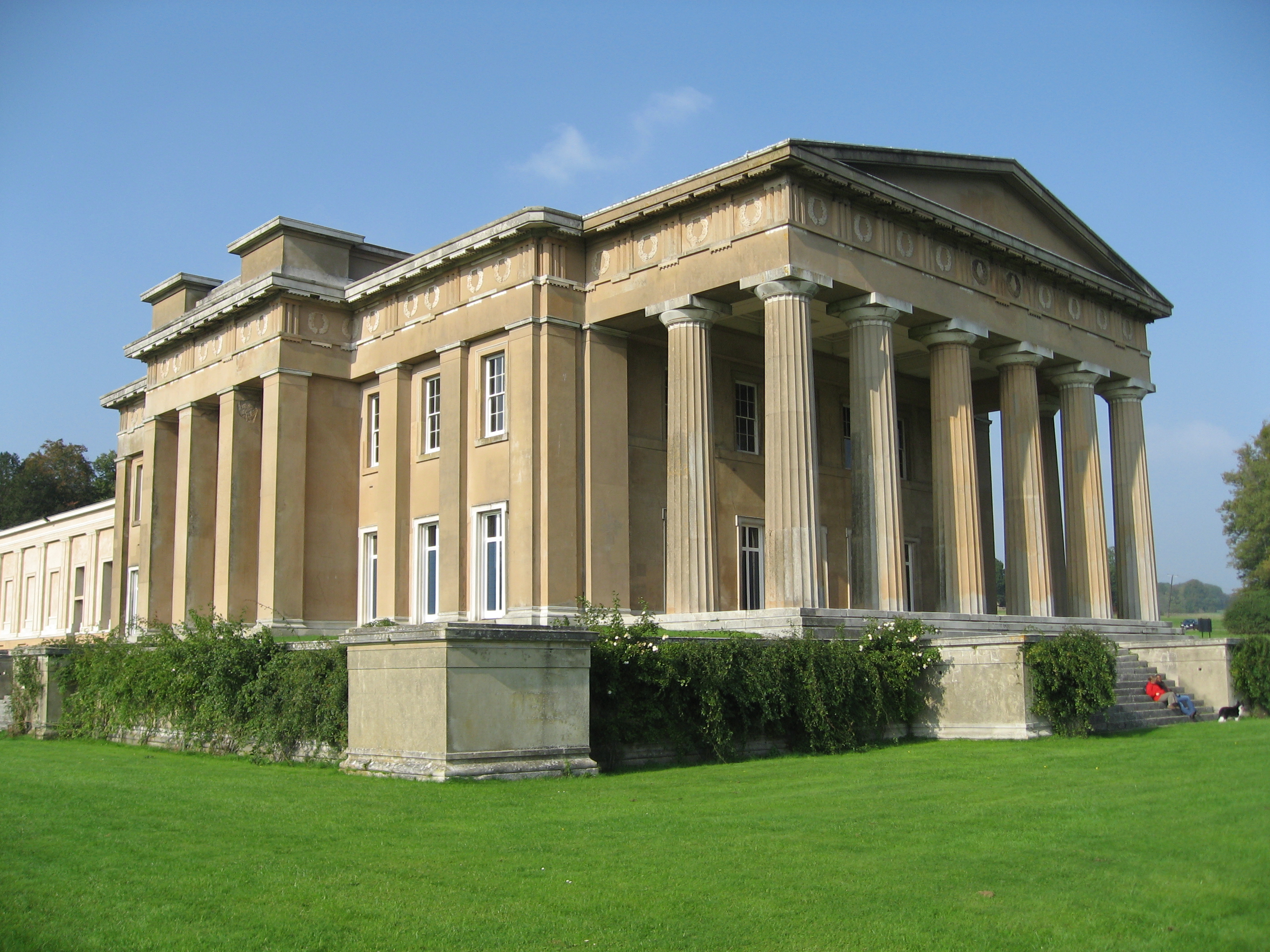
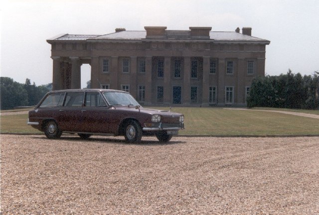
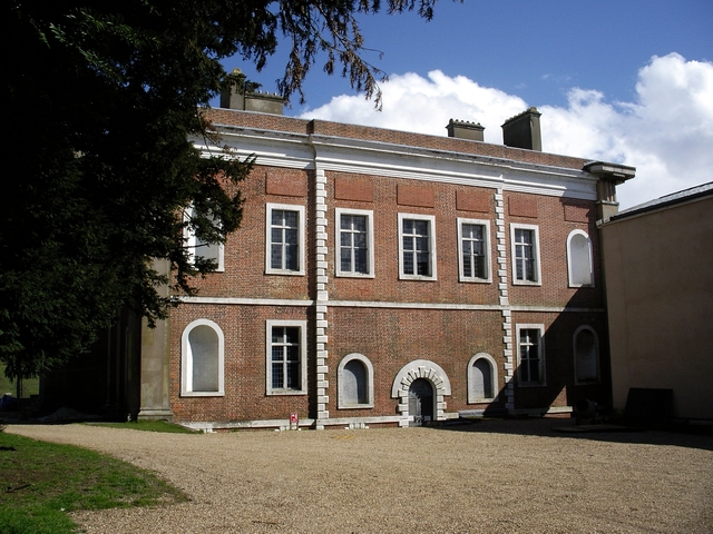
The Grange, Northington

The Grange is a 19th-century country house-mansion and English landscape park near Northington in Hampshire, England. It is currently owned by the Baring...

Swarraton

Swarraton is a small village and former civil parish, now in the parish of Northington, in the City of Winchester district of Hampshire, England. It lies...

Northington

Northington is a village and civil parish in the City of Winchester district of Hampshire, England. It lies half a mile from the neighbouring village,...

Northington Down

Northington Down is a hamlet in the civil parish of Northington in the City of Winchester district of Hampshire, England. Its nearest town is New Alresford...

Fobdown

Fobdown is a hamlet in Hampshire, England. It lies 2 miles (3.2 km) north-west from New Alresford. It is in the civil parish of Old Alresford.

Brown Candover

Brown Candover is a village and former civil parish, now in the parish of Candovers, in the Basingstoke and Deane district, in the county of Hampshire...

Old Alresford

Old Alresford ( OLZ-fərd or AWLZ-fərd) is a village and civil parish in Hampshire, England. It is 1 km (0.6 miles) north of the town of New Alresford...

Old Alresford House

Old Alresford House is an 18th-century Georgian country house in Old Alresford, Hampshire, England. It is a Grade II* listed building.It was built between...

Nearby Amenities

Located within 500m of 51.119051,-1.1939654
Barrier: entrance
Lat/Long: 51.1218766/-1.1984109
The data included in this document is from www.openstreetmap.org. The data is made available under ODbL.

Have you been to Rookery Plantation?

Leave your review of Rookery Plantation below (or comments, questions and feedback).