Horn's Gully
Valley in Berkshire
England
Horn's Gully
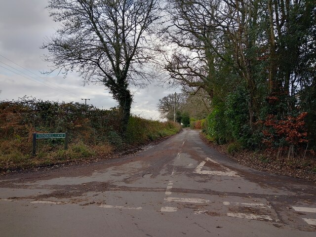
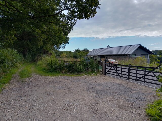
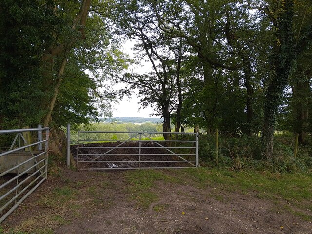
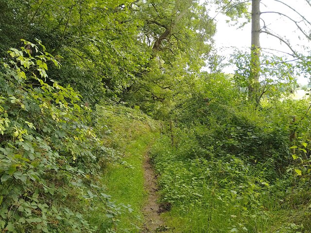
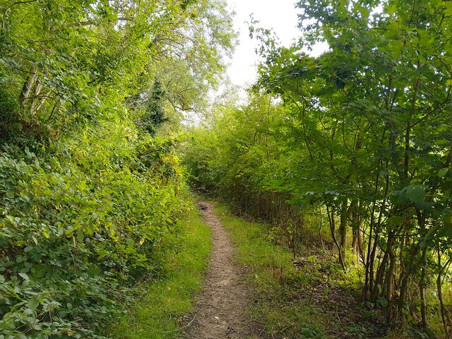
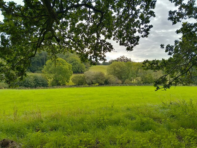
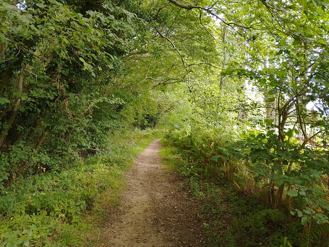
Horn's Gully, located in Berkshire, is a picturesque valley renowned for its natural beauty and diverse wildlife. Spanning approximately 2 square miles, this enchanting landscape offers a serene escape from the bustling city life nearby. The gully is characterized by its steep slopes, dense woodland, and meandering streams, creating a tranquil and idyllic setting.
The valley is home to a wide variety of flora and fauna, making it a haven for nature enthusiasts and researchers alike. The woodland areas are dominated by oak, beech, and ash trees, providing a rich habitat for numerous bird species, including woodpeckers, nightingales, and various owls. The gully's streams and ponds harbor an array of aquatic life, such as kingfishers, dragonflies, and water voles.
The area's geological features are also of great interest. The gully was formed millions of years ago during the last ice age, as glacial meltwater carved out the valley, leaving behind distinct rock formations and gentle slopes. Fossilized remains of ancient marine life have been discovered in the valley, offering valuable insights into the region's prehistoric past.
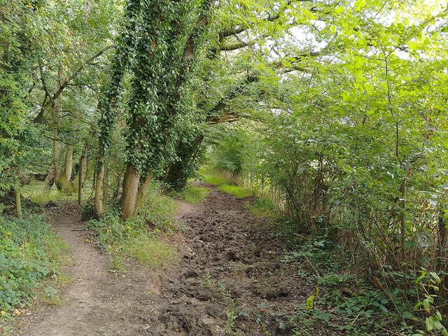
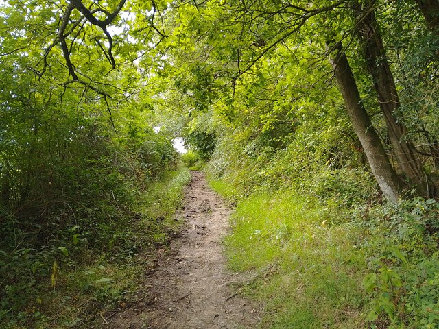
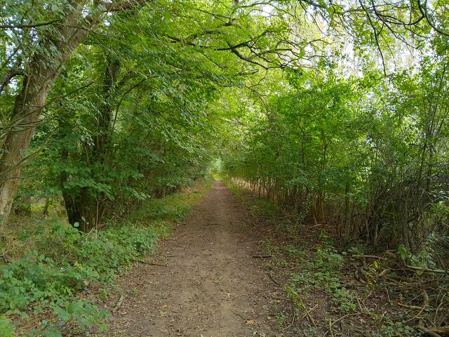
Horn's Gully is a popular destination for outdoor activities such as hiking, birdwatching, and photography. Several well-marked trails crisscross the valley, offering stunning views of the surrounding countryside. The gully is also part of a larger nature reserve, managed by local conservation organizations, ensuring the preservation of its unique ecosystem.
Visitors to Horn's Gully can expect a peaceful and immersive experience, surrounded by the sights and sounds of nature. Whether exploring the verdant woodland or capturing the beauty of the valley through a camera lens, this hidden gem in Berkshire promises a memorable and enriching encounter with the natural world.
If you have any feedback on the listing, please let us know in the comments section below.
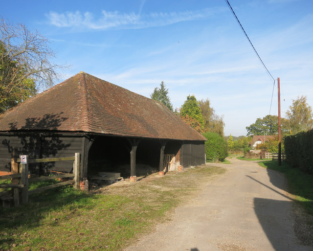
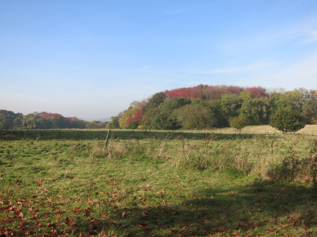
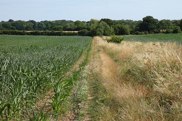
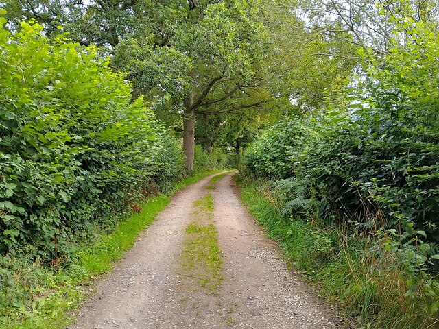
Horn's Gully Images
Images are sourced within 2km of 51.415453/-1.1872552 or Grid Reference SU5668. Thanks to Geograph Open Source API. All images are credited.

Horn's Gully is located at Grid Ref: SU5668 (Lat: 51.415453, Lng: -1.1872552)
Unitary Authority: West Berkshire
Police Authority: Thames Valley
What 3 Words
///brochure.choppers.recover. Near Thatcham, Berkshire
Nearby Locations
Related Wikis

Bucklebury Common
Bucklebury Common is an elevated common consisting of woodland with a few relatively small clearings in the English county of Berkshire, within the civil...

Chapel Row
Chapel Row is a hamlet in West Berkshire, England, and part of the civil parish of Bucklebury. In 2019 it had an estimated population of 627. == History... ==

Midgham Green
Midgham Green is a hamlet in the civil parish of Midgham in the English county of Berkshire. The settlement lies near to the A4 road and is located approximately...

The Bladebone Inn
The Bladebone Inn is a public house at Chapel Row in the civil parish of Bucklebury in the English county of Berkshire. == History == Records show that...

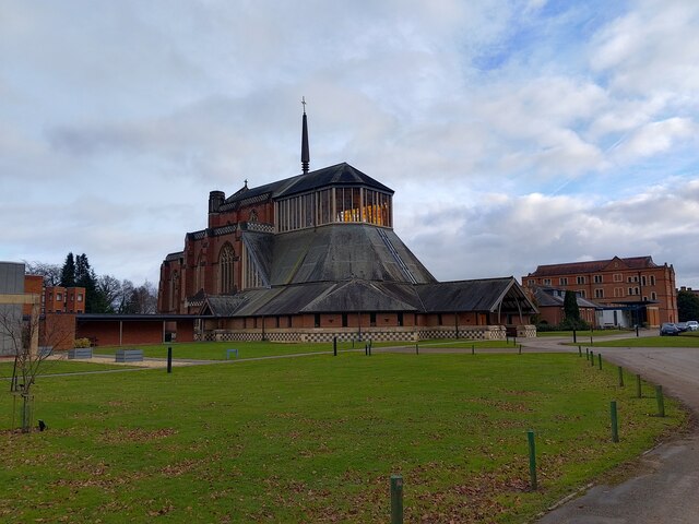
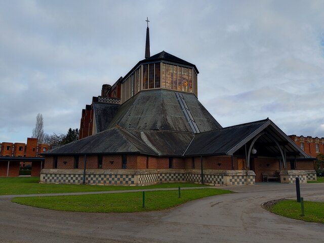
Douai Abbey
Douai Abbey is a Benedictine Abbey at Upper Woolhampton, near Thatcham, in the English county of Berkshire, situated within the Roman Catholic Diocese...

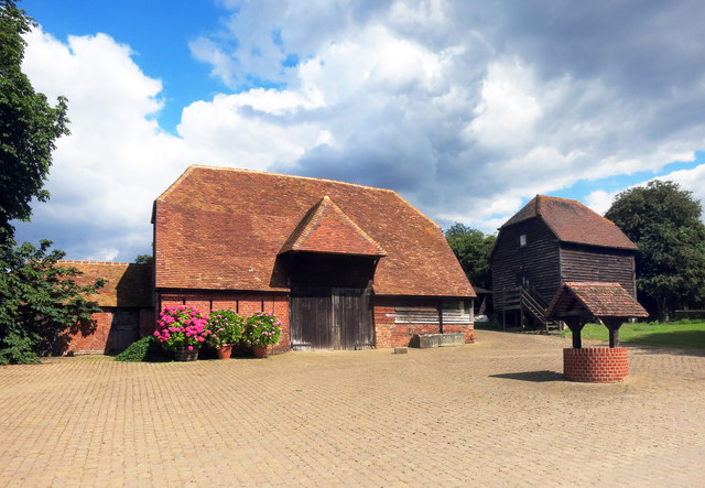
Bucklebury Manor
Bucklebury Manor is a Grade II listed manor house in the civil parish of Bucklebury in the English county of Berkshire. Since 2012, it has been the home...
Elstree School
Elstree School is an English preparatory school for children aged 3–13 at Woolhampton House in Woolhampton, near Newbury in the English county of Berkshire...

Upper Woolhampton
Upper Woolhampton is a village in the English county of Berkshire. It is situated on higher ground, 0.5 miles (800 m) to the north of the parent village...
Nearby Amenities
Located within 500m of 51.415453,-1.1872552Have you been to Horn's Gully?
Leave your review of Horn's Gully below (or comments, questions and feedback).