Channel Wood
Wood, Forest in Berkshire
England
Channel Wood
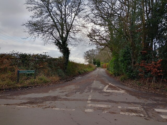
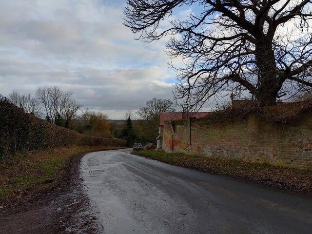
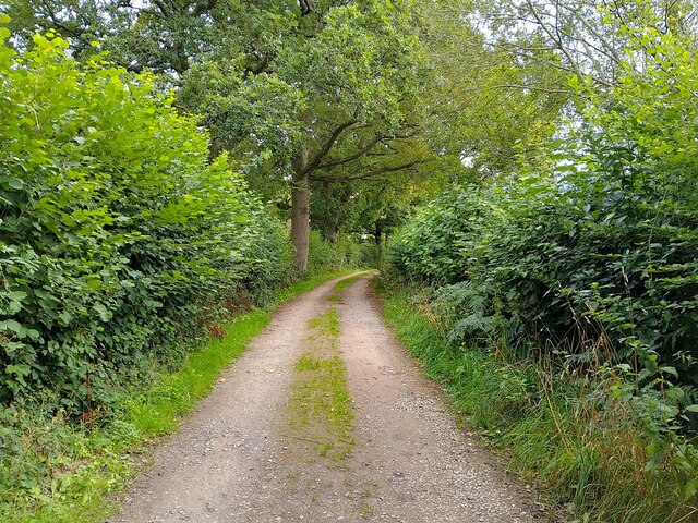
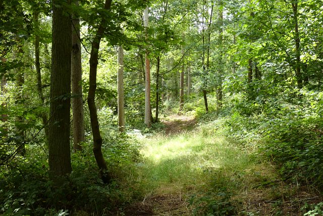
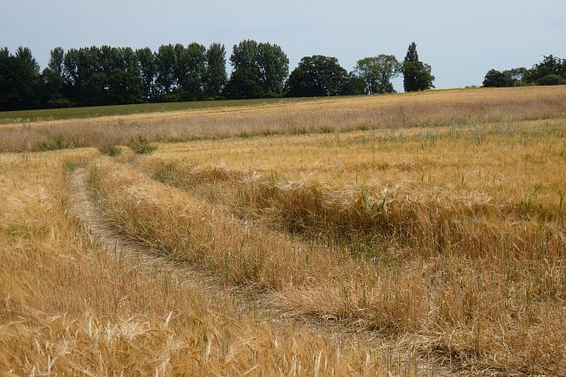
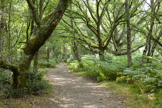
Channel Wood is a picturesque woodland located in the county of Berkshire, England. Situated amidst the charming rural landscape, this forest is known for its natural beauty and tranquil ambiance. The wood covers an area of approximately 300 acres, offering visitors a vast expanse to explore and enjoy.
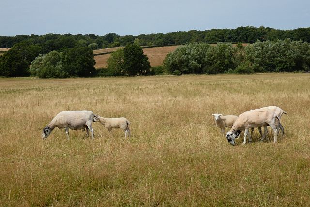
Channel Wood is home to a diverse range of flora and fauna, making it a haven for nature enthusiasts. The woodland boasts a rich variety of tree species, including oak, beech, and birch, which create a dense canopy overhead. This provides a cool and shaded environment, perfect for leisurely walks or picnics on a sunny day.
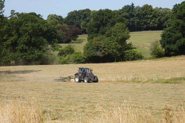
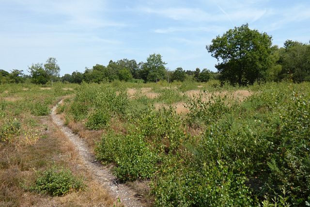
Several well-maintained trails wind their way through the wood, allowing visitors to discover its hidden treasures. These paths are suitable for both casual strolls and more adventurous hikes, catering to all abilities. Along the way, one may encounter wildlife such as deer, rabbits, and a wide array of bird species, making it an ideal destination for birdwatching enthusiasts.
Furthermore, Channel Wood offers a range of recreational activities for visitors of all ages. Families can enjoy exploring the woodland together, engaging in scavenger hunts or nature-themed games. Additionally, the forest provides an excellent setting for photography, with its enchanting scenery and photogenic spots.
Access to Channel Wood is convenient, with ample parking available nearby and well-marked entrances. The wood is managed by local authorities, ensuring its conservation and preservation for future generations to enjoy. Whether seeking solace in nature or seeking adventure, Channel Wood is a remarkable destination for anyone seeking a peaceful retreat amidst the beauty of Berkshire.
If you have any feedback on the listing, please let us know in the comments section below.
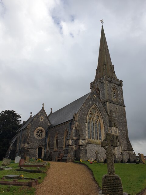
Channel Wood Images
Images are sourced within 2km of 51.409007/-1.1834874 or Grid Reference SU5668. Thanks to Geograph Open Source API. All images are credited.

Channel Wood is located at Grid Ref: SU5668 (Lat: 51.409007, Lng: -1.1834874)
Unitary Authority: West Berkshire
Police Authority: Thames Valley
What 3 Words
///developed.pointed.rigs. Near Thatcham, Berkshire
Nearby Locations
Related Wikis

Midgham Green
Midgham Green is a hamlet in the civil parish of Midgham in the English county of Berkshire. The settlement lies near to the A4 road and is located approximately...

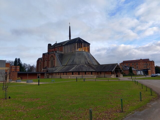
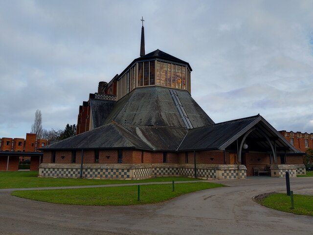
Douai Abbey
Douai Abbey is a Benedictine Abbey at Upper Woolhampton, near Thatcham, in the English county of Berkshire, situated within the Roman Catholic Diocese...
Elstree School
Elstree School is an English preparatory school for children aged 3–13 at Woolhampton House in Woolhampton, near Newbury in the English county of Berkshire...

Upper Woolhampton
Upper Woolhampton is a village in the English county of Berkshire. It is situated on higher ground, 0.5 miles (800 m) to the north of the parent village...

Woolhampton
Woolhampton is a village and civil parish in West Berkshire, England. The village straddles the Bath Road between the towns of Reading, 8 mi (13 km) to...

Chapel Row
Chapel Row is a hamlet in West Berkshire, England, and part of the civil parish of Bucklebury. In 2019 it had an estimated population of 627. == History... ==

Bucklebury Common
Bucklebury Common is an elevated common consisting of woodland with a few relatively small clearings in the English county of Berkshire, within the civil...
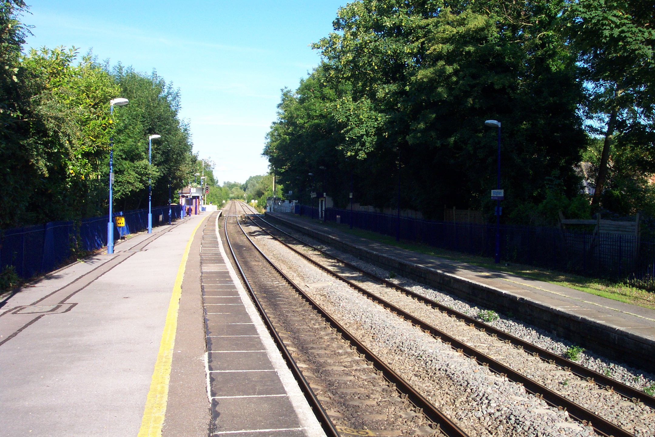
Midgham railway station
Midgham railway station, formerly known as Woolhampton railway station, is a railway station in the English county of Berkshire. It is located in the village...
Related Videos

Berkshire 2.6 mile circular walk: Bucklebury
Bucklebury: 2.6 mile circular walk Guided Walk: ...

Best places to go for a holiday!
Best places to go for a holiday!


Episode 027 - All Aboard for the Kennet & Avon Canal
Hello everybody, we are back on a boat! This is the start of our journey along the Kennet & Avon, where we attempt to complete ...
Nearby Amenities
Located within 500m of 51.409007,-1.1834874Have you been to Channel Wood?
Leave your review of Channel Wood below (or comments, questions and feedback).