Black Firs
Wood, Forest in Nottinghamshire Rushcliffe
England
Black Firs
![The Packe Arms, Hoton Formerly called The Marquis of Granby, &quot;Our current name comes from The Packes, a prestigious Victorian family of land-owners from Leicester. Charles James Packe restored The Packe Arms in [1831]&quot; <span class="nowrap"><a title="https://www.vintageinn.co.uk/restaurants/midlands/thepackearmshoton" rel="nofollow ugc noopener" href="https://www.vintageinn.co.uk/restaurants/midlands/thepackearmshoton">Link</a><img style="margin-left:2px;" alt="External link" title="External link - shift click to open in new window" src="https://s1.geograph.org.uk/img/external.png" width="10" height="10"/></span>](https://s1.geograph.org.uk/geophotos/06/97/76/6977625_f91c5a83.jpg)
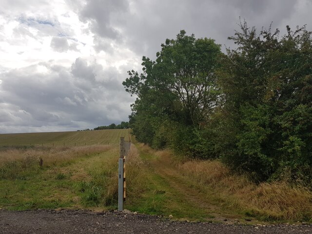
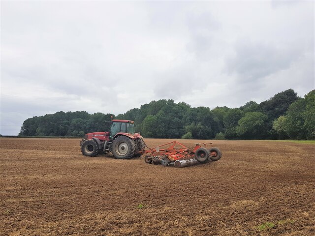
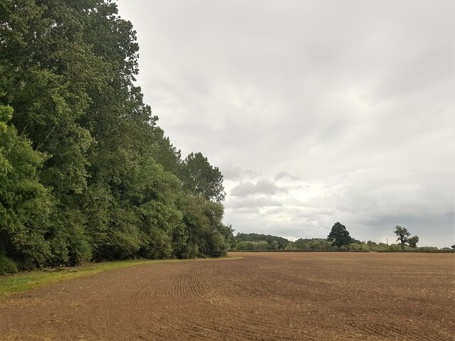
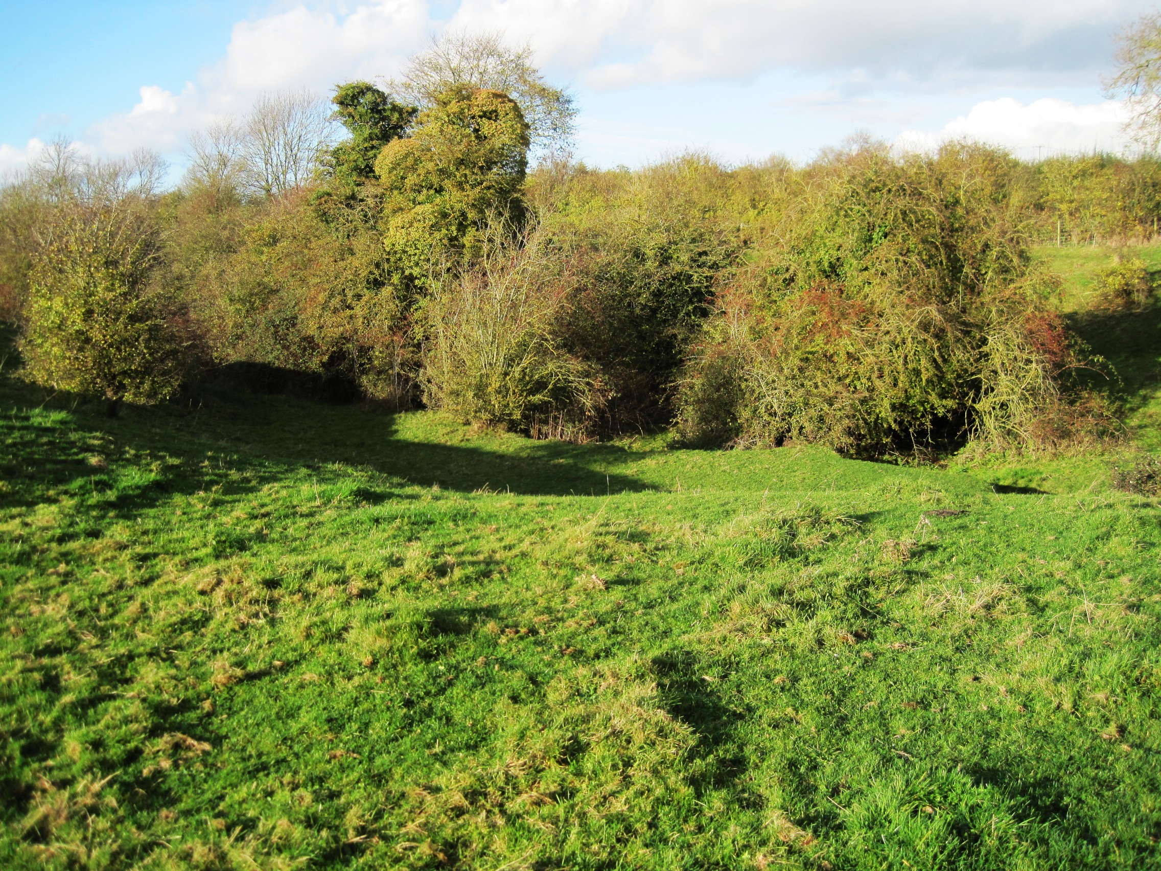
Black Firs is a wooded area located in Nottinghamshire, England. Situated within the larger expanse of Sherwood Forest, Black Firs is known for its dense and picturesque woodland. The area is characterized by a variety of tree species, including birch, oak, and pine, creating a rich and diverse ecosystem.
Covering approximately 100 acres, Black Firs offers a tranquil and secluded environment for nature enthusiasts and hikers alike. The forest is crisscrossed by well-maintained footpaths, providing visitors with the opportunity to explore the serene surroundings and enjoy the peaceful ambiance. The forest floor is carpeted with an array of wildflowers and ferns, adding to the beauty of the landscape.
Black Firs is home to a wide range of wildlife, including various bird species, small mammals, and insects. It serves as an important habitat for many woodland creatures, offering shelter and sustenance.
The forest has a rich history, with some areas dating back hundreds of years. It is believed that Black Firs played a significant role during the medieval period, serving as a hunting ground for the local nobility. Today, remnants of ancient hunting lodges and pathways can still be found within the forest, providing a glimpse into its past.
Black Firs is a popular destination for outdoor activities such as walking, birdwatching, and photography. Its idyllic setting and natural beauty make it a peaceful retreat for those seeking respite from the hustle and bustle of urban life.
If you have any feedback on the listing, please let us know in the comments section below.
Black Firs Images
Images are sourced within 2km of 52.8097/-1.1574416 or Grid Reference SK5623. Thanks to Geograph Open Source API. All images are credited.


Black Firs is located at Grid Ref: SK5623 (Lat: 52.8097, Lng: -1.1574416)
Administrative County: Nottinghamshire
District: Rushcliffe
Police Authority: Nottinghamshire
What 3 Words
///universal.skirting.doctor. Near East Leake, Nottinghamshire
Nearby Locations
Related Wikis

All Saints' Church, Rempstone
All Saints' Church, Rempstone is a parish church in the Church of England in Rempstone, Nottinghamshire. The church is Grade II listed by the Department...
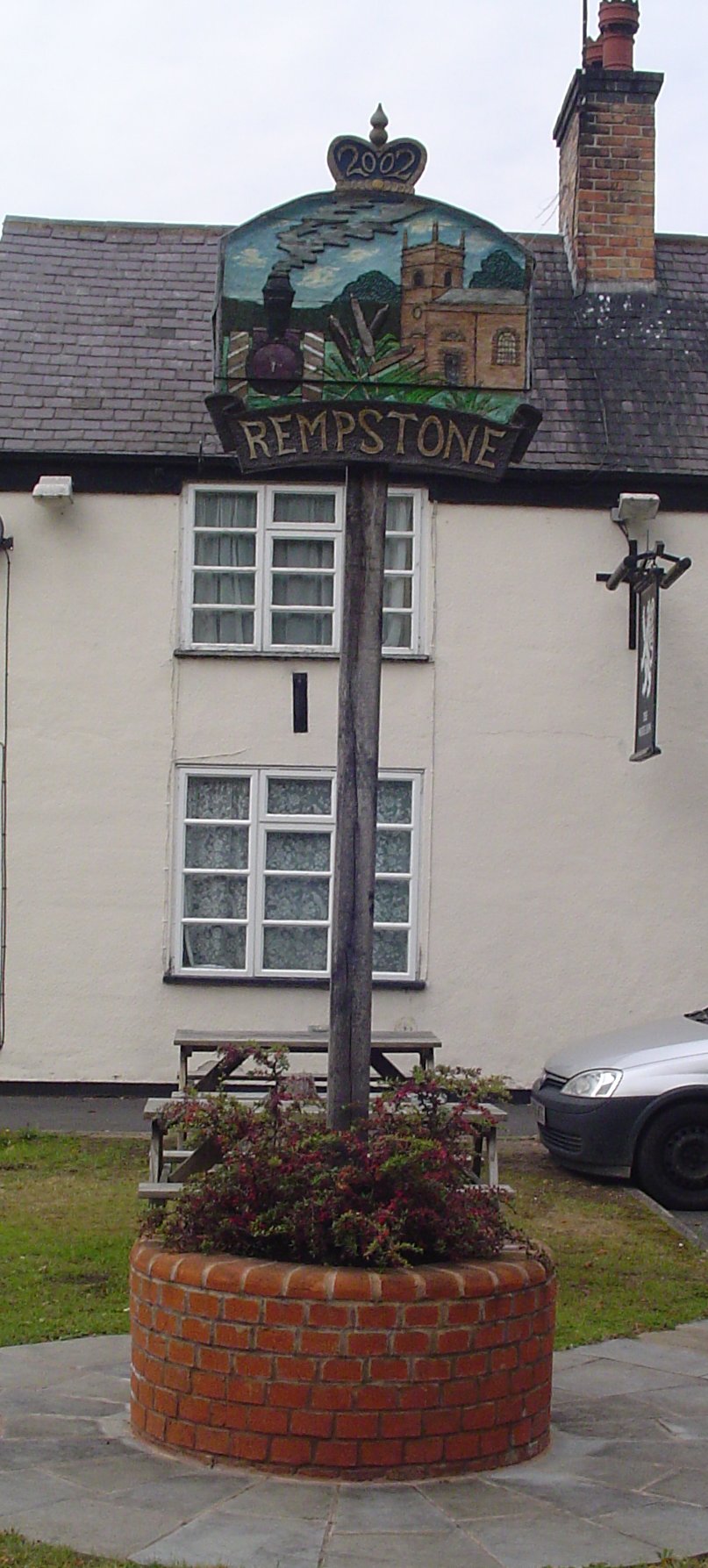
Rempstone
Rempstone is a village and civil parish in the Rushcliffe district of Nottinghamshire, England. It is close to Nottingham, Loughborough, Melton Mowbray...
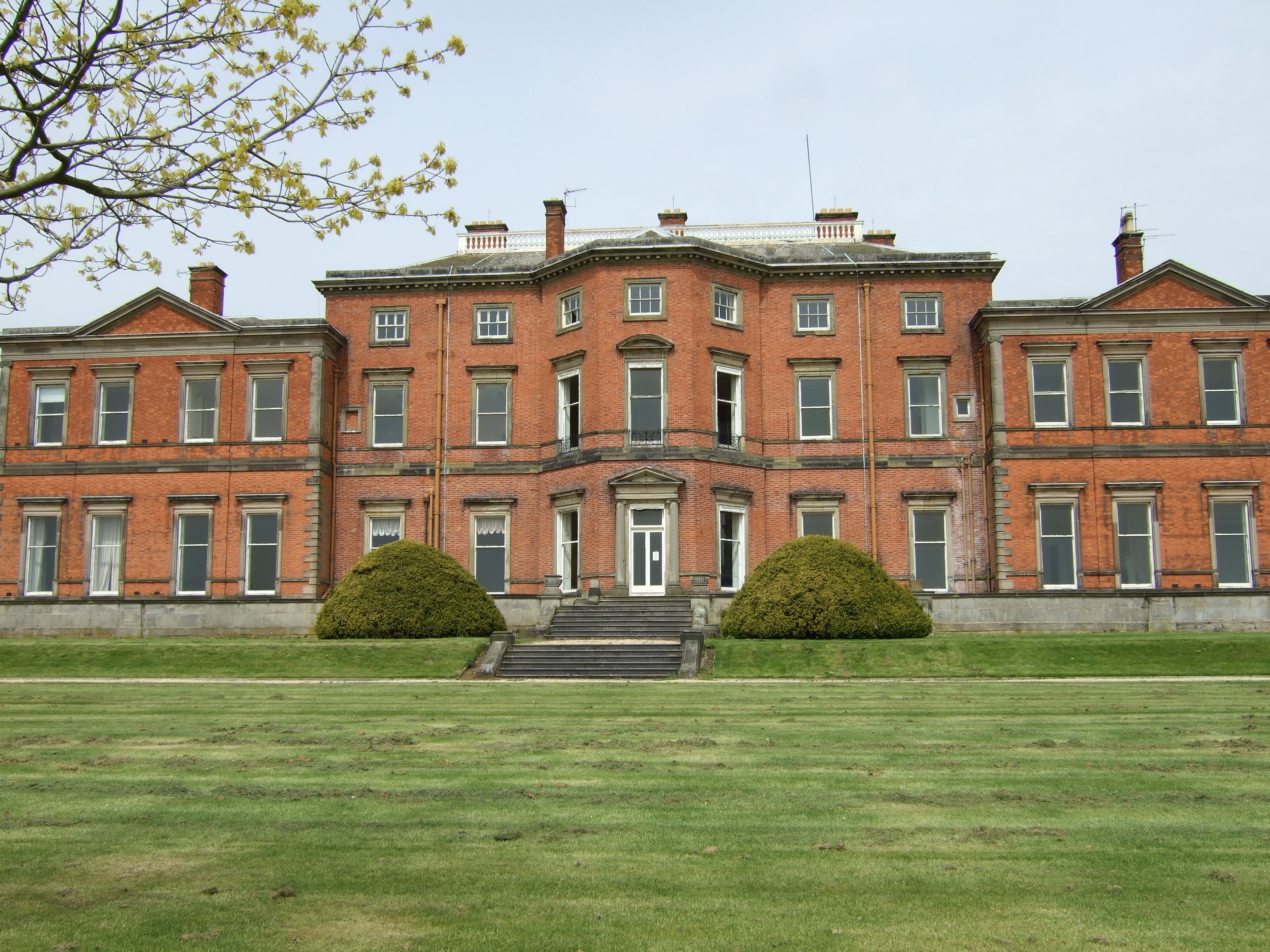
Stanford Hall, Nottinghamshire
Stanford Hall is a grade II* listed 18th-century English country house in Nottinghamshire, England, in Stanford on Soar just north of Loughborough. It...

Hoton
Hoton is a village and civil parish in the Charnwood district of Leicestershire, England, on the A60 north-east of Loughborough, just south of the border...

Leake Rural District
Leake was a rural district in Nottinghamshire, England from 1894 to 1935. It was formed from the Nottinghamshire part of the Loughborough rural sanitary...

Prestwold
Prestwold is a hamlet and civil parish in the Charnwood district of Leicestershire, England. The parish has a population of around 60. The population...
Wymeswold Meadows
Wymeswold Meadows is a 4.5-hectare (11-acre) nature reserve east of Wymeswold in Leicestershire. It is owned and managed by the Leicestershire and Rutland...

Costock
Costock is a village and civil parish in the Rushcliffe district of Nottinghamshire, England. The population of the civil parish at the 2011 Census was...
Nearby Amenities
Located within 500m of 52.8097,-1.1574416Have you been to Black Firs?
Leave your review of Black Firs below (or comments, questions and feedback).