Long Plantation
Wood, Forest in Nottinghamshire
England
Long Plantation
Long Plantation is a picturesque woodland located in Nottinghamshire, England. Situated near the village of Wood, it is known for its outstanding natural beauty and diverse ecosystems. The plantation covers an area of approximately 300 acres, making it a significant natural resource in the region.
The woodland comprises a mix of tree species, including oak, beech, birch, and pine, creating a rich and varied landscape. The dense canopy provides habitat for a wide range of flora and fauna, making it a popular destination for nature enthusiasts and wildlife photographers.
The plantation offers numerous walking trails and paths that wind through the woodland, allowing visitors to explore its natural wonders at their own pace. These trails are well-maintained and provide opportunities for both leisurely strolls and more challenging hikes.
Long Plantation is home to a diverse range of wildlife, including various bird species, such as woodpeckers, owls, and jays. The woodland also supports a population of mammals, including deer, foxes, and rabbits, adding to its allure for animal lovers.
In addition to its natural beauty, Long Plantation is of historical significance. The woodland has been managed for centuries, with records dating back to the medieval period. It has played a vital role in the local timber industry, supplying wood for construction and fuel.
Overall, Long Plantation is a captivating destination that offers a unique blend of natural beauty, recreational opportunities, and historical significance. Whether one is seeking a peaceful stroll, wildlife spotting, or a glimpse into the region's past, Long Plantation is sure to leave a lasting impression.
If you have any feedback on the listing, please let us know in the comments section below.
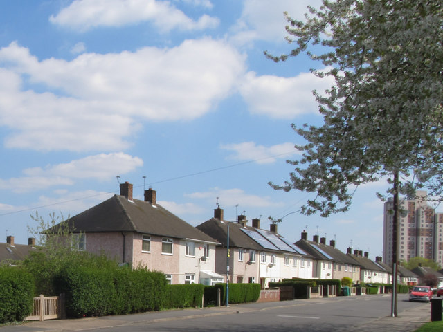
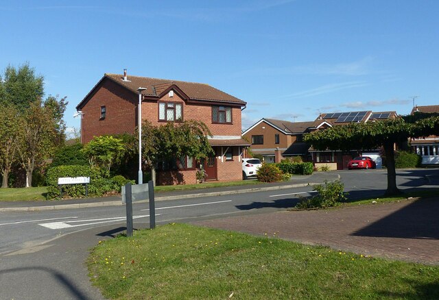
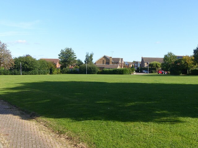
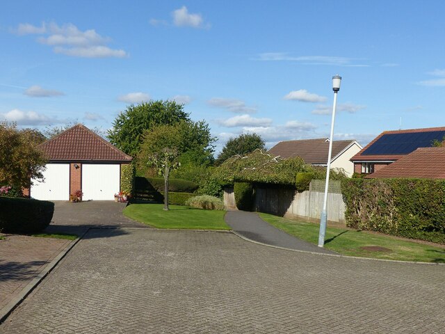
Long Plantation Images
Images are sourced within 2km of 52.903552/-1.1611831 or Grid Reference SK5634. Thanks to Geograph Open Source API. All images are credited.


Long Plantation is located at Grid Ref: SK5634 (Lat: 52.903552, Lng: -1.1611831)
Unitary Authority: Nottingham
Police Authority: Nottinghamshire
What 3 Words
///mock.client.vibrates. Near Ruddington, Nottinghamshire
Nearby Locations
Related Wikis

Clifton All Whites F.C.
Clifton All Whites Football Club is a football club based in Clifton, Nottingham. Formed in 1963 as a youth team, the club expanded to include a senior...
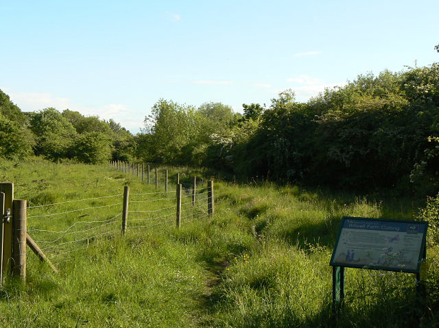
Wilwell Farm Nature Reserve
Wilwell Farm Nature Reserve or Wilwell Cutting is a biological Site of Special Scientific Interest and Local Nature Reserve in Nottinghamshire. The site...
Farnborough Spencer Academy
Farnborough Spencer Academy is a coeducational secondary school located in the Clifton area of Nottingham in the English county of Nottinghamshire.The...

Basford Rural District
Basford was a rural district close to Nottingham, England, from 1894 to 1974. The district consisted of two detached parts, to the north and south of...

Ruddington railway station
Ruddington is a disused railway station on the Great Central Main Line south of Nottingham. The line had branches that ran to the now decommissioned Ruddington...
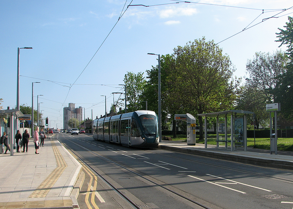
Rivergreen tram stop
Rivergreen is a tram stop on the Nottingham Express Transit (NET) network in the city of Nottingham suburb of Clifton. It is situated on street track on...
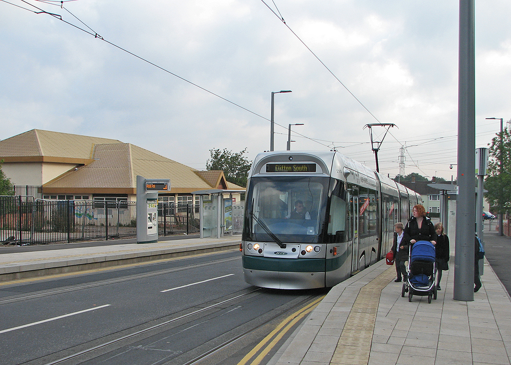
Southchurch Drive tram stop
Southchurch Drive, also known as Southchurch Drive North, is a tram stop on the Nottingham Express Transit (NET) network in the city of Nottingham suburb...

Clifton Centre tram stop
Clifton Centre is a tram stop on the Nottingham Express Transit (NET) network in the city of Nottingham suburb of Clifton. It is situated on street track...
Nearby Amenities
Located within 500m of 52.903552,-1.1611831Have you been to Long Plantation?
Leave your review of Long Plantation below (or comments, questions and feedback).