Western Copse
Wood, Forest in Hampshire
England
Western Copse
Western Copse is a picturesque woodland located in Hampshire, England. Covering an area of approximately 100 acres, it is a popular destination for nature lovers and outdoor enthusiasts. The copse is situated in close proximity to the village of Western, surrounded by rolling hills and fields, offering visitors a tranquil and serene environment.
The woodland consists primarily of native broadleaf trees, including oak, beech, and ash, which provide a rich and diverse habitat for a wide range of wildlife. The dense canopy formed by the tall trees creates a shaded and cool atmosphere, perfect for escaping the summer heat. The forest floor is covered with a thick layer of leaf litter, creating a natural carpet and providing a home for a variety of woodland flora and fauna.
A network of well-maintained footpaths winds through Western Copse, allowing visitors to explore the woodland at their own pace. These pathways lead to several scenic viewpoints and open clearings, offering panoramic views of the surrounding countryside. The copse is also intersected by a small stream, which adds to its natural charm and provides a habitat for aquatic creatures.
Western Copse is a haven for wildlife, with sightings of deer, badgers, and various bird species being common. The woodland is particularly renowned for its population of red squirrels, which are a rare sight in many parts of the country. Birdwatchers can enjoy the melodious songs of thrushes, blackbirds, and woodpeckers echoing through the trees.
Overall, Western Copse offers visitors a peaceful retreat where they can immerse themselves in nature and experience the beauty of Hampshire's woodlands.
If you have any feedback on the listing, please let us know in the comments section below.
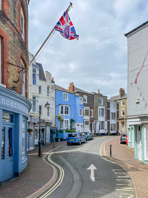
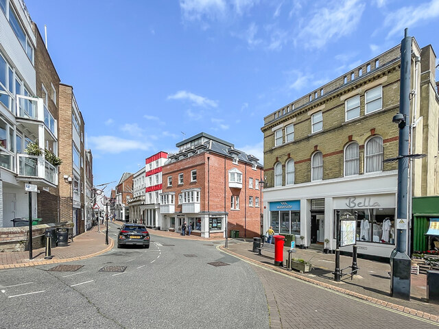
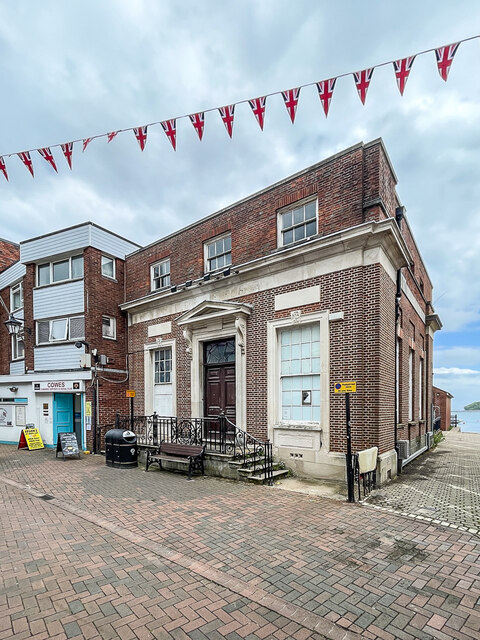
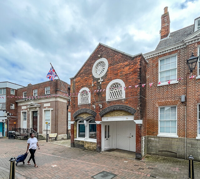
Western Copse Images
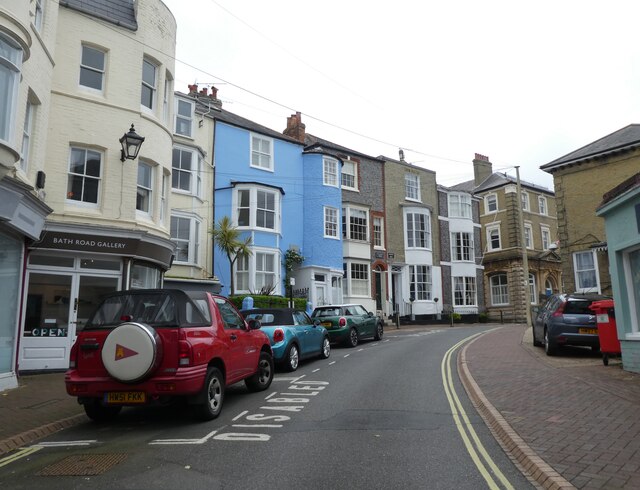
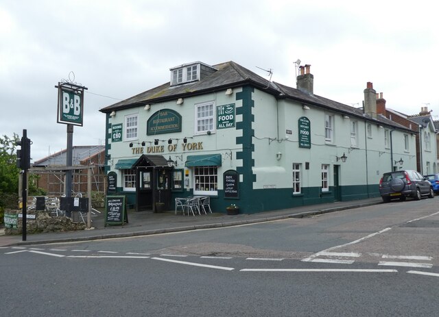
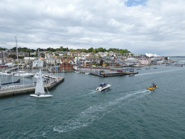
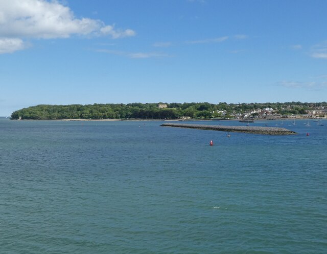
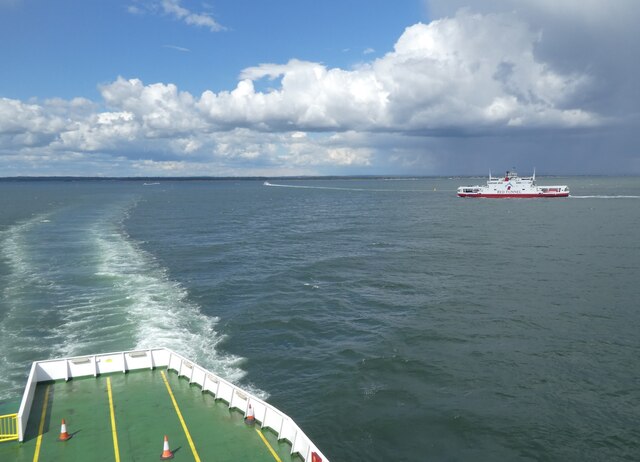
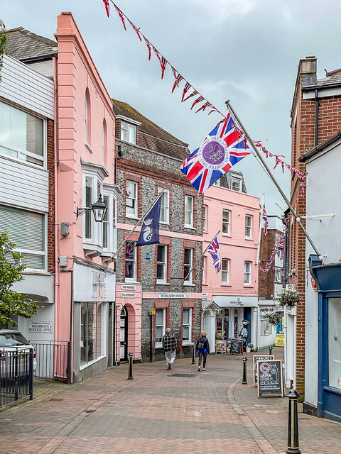
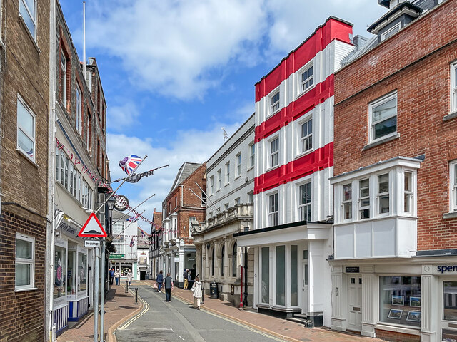
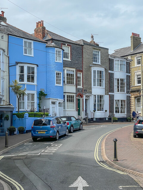
Images are sourced within 2km of 50.765012/-1.2728171 or Grid Reference SZ5196. Thanks to Geograph Open Source API. All images are credited.

Western Copse is located at Grid Ref: SZ5196 (Lat: 50.765012, Lng: -1.2728171)
Unitary Authority: Isle of Wight
Police Authority: Hampshire
What 3 Words
///professed.cascade.coiling. Near East Cowes, Isle of Wight
Nearby Locations
Related Wikis

Norris Castle
Norris Castle is located on the Isle of Wight. It was designed by James Wyatt for Lord Henry Seymour. The estate adjoins Osborne House, country home to...

East Cowes Castle
East Cowes Castle, located in East Cowes, was the home of architect John Nash between its completion and his death in 1835. Nash himself was the designer...
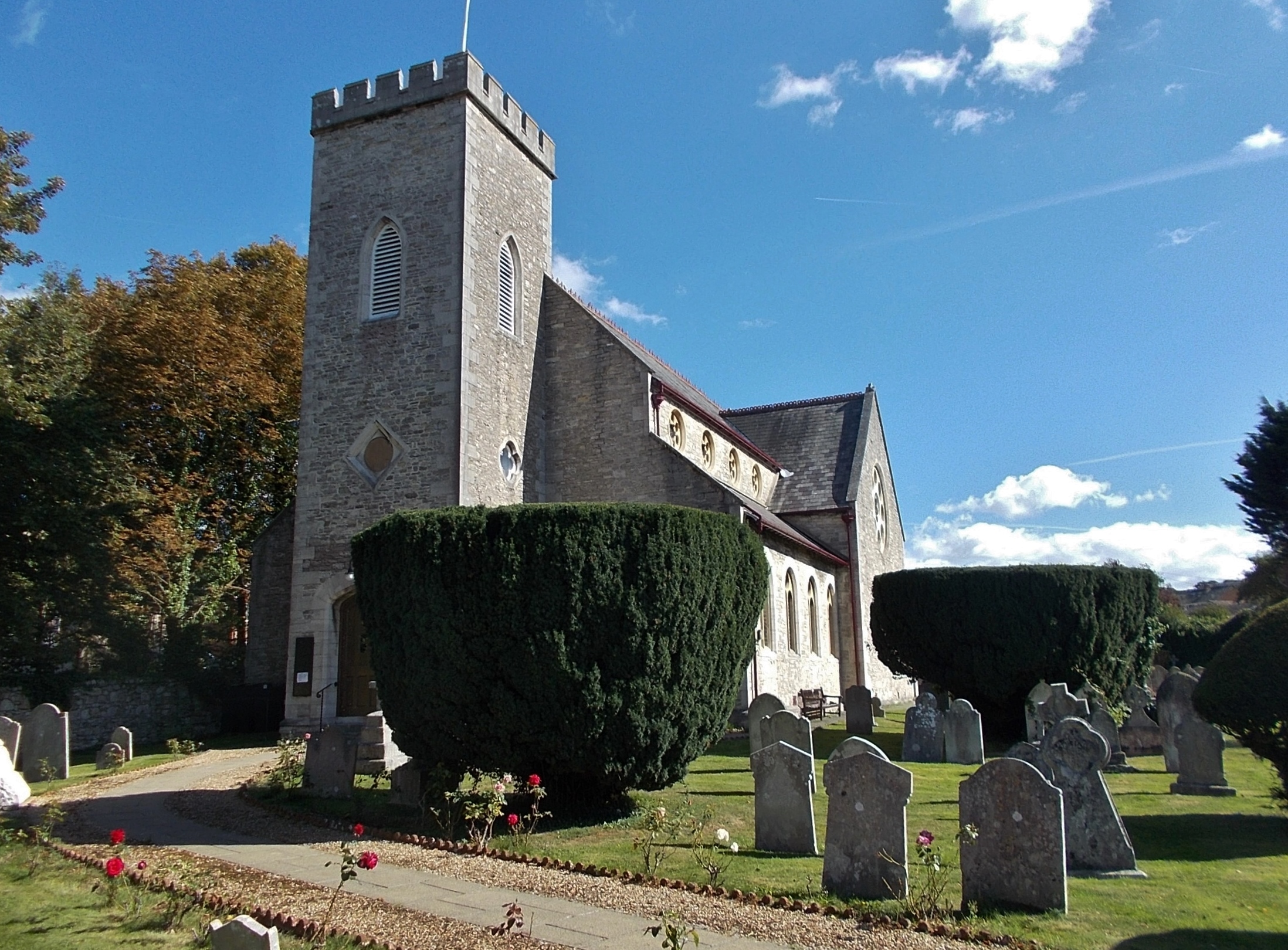
St James's Church, East Cowes
St James's Church, East Cowes is the Church of England parish church of East Cowes, Isle of Wight. == History == The church was built in 1831 by the architect...
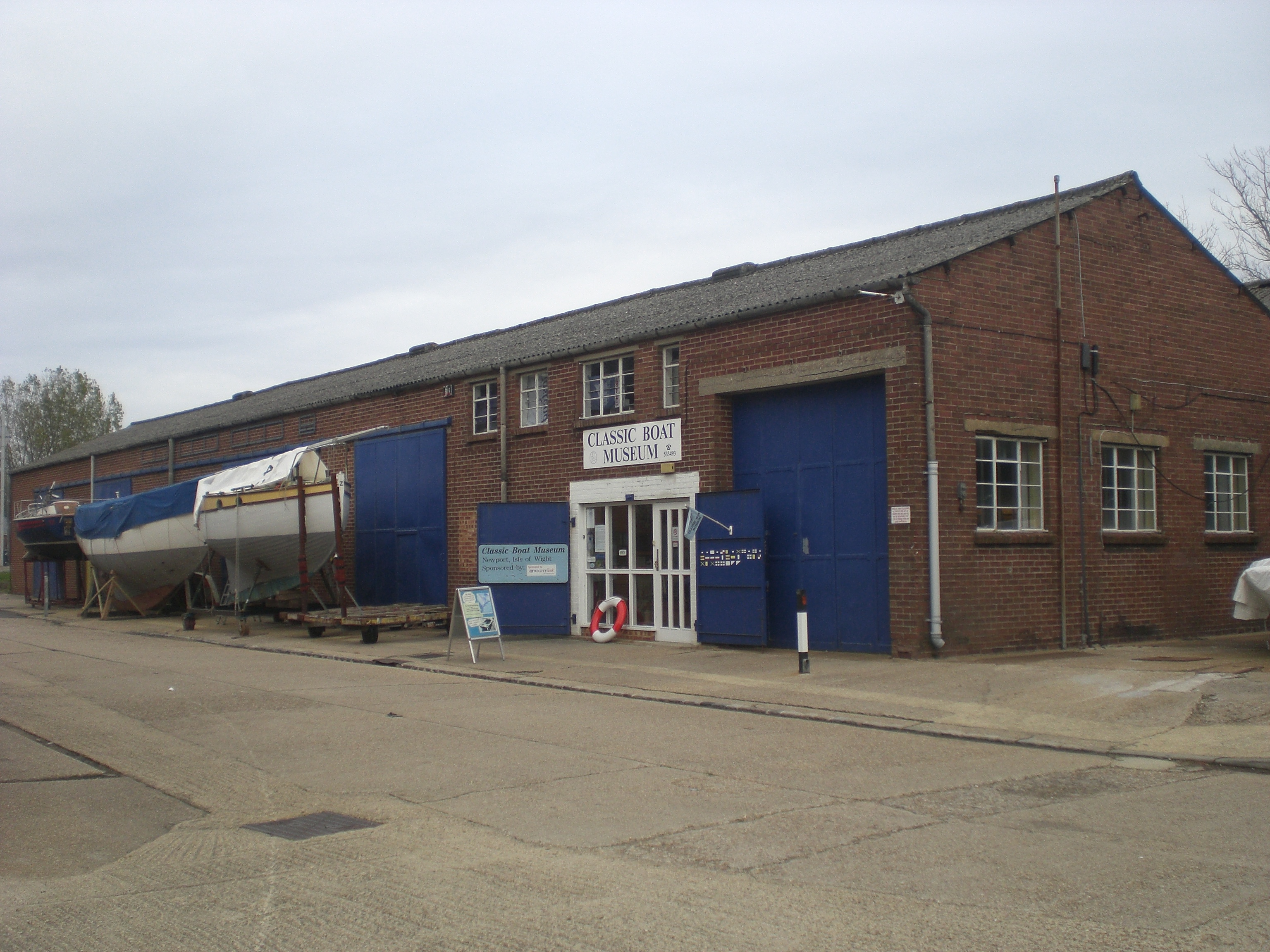
Classic Boat Museum
The Classic Boat Museum is a museum of boats and of the history of yachting and boating. It is located on the Isle of Wight at two separate sites on either...
Nearby Amenities
Located within 500m of 50.765012,-1.2728171Have you been to Western Copse?
Leave your review of Western Copse below (or comments, questions and feedback).