Pheasant Hill Wood
Wood, Forest in Berkshire
England
Pheasant Hill Wood
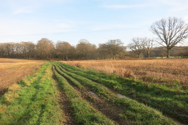
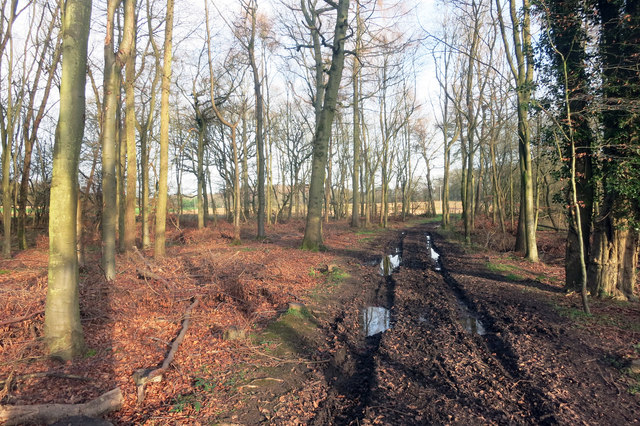
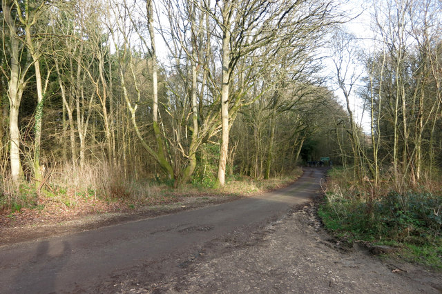
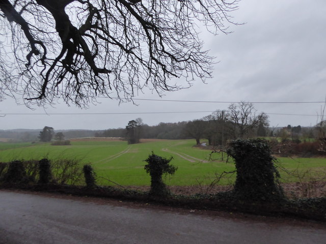
Pheasant Hill Wood, located in Berkshire, England, is a picturesque woodland area renowned for its natural beauty and diverse ecosystem. Spanning approximately 50 acres, this charming forest is situated in the heart of the Berkshire countryside and is a popular destination for nature enthusiasts and outdoor adventurers.
The wood boasts a rich variety of trees, including oak, beech, and birch, providing a diverse and vibrant canopy that changes with the seasons. These trees, along with the lush undergrowth and wildflowers, create a peaceful and serene atmosphere for visitors to enjoy.
Pheasant Hill Wood is home to a plethora of wildlife, making it a haven for birdwatchers and animal lovers. The wood is particularly known for its resident population of pheasants, which can often be spotted roaming freely among the trees. Other bird species, such as woodpeckers and owls, also inhabit the area, adding to the woodland's avian charm.
The forest offers several well-marked walking trails and paths, allowing visitors to explore its natural wonders at their own pace. These trails wind through the wood, offering breathtaking views of the surrounding countryside and opportunities to spot local flora and fauna.
Pheasant Hill Wood is managed by local authorities who strive to maintain its natural beauty and protect its habitat. To ensure the woodland remains a tranquil and undisturbed environment, visitors are encouraged to follow the designated paths, respect the wildlife, and take any litter with them when they leave.
Overall, Pheasant Hill Wood is a delightful destination for those seeking solace in nature. Its enchanting beauty, diverse wildlife, and well-maintained trails make it an ideal place to immerse oneself in the tranquility of the Berkshire countryside.
If you have any feedback on the listing, please let us know in the comments section below.
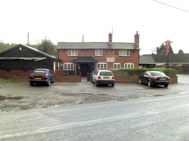
Pheasant Hill Wood Images
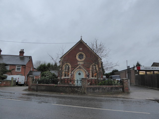
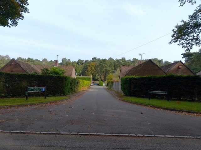
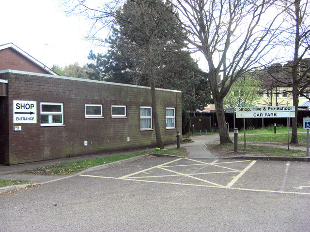
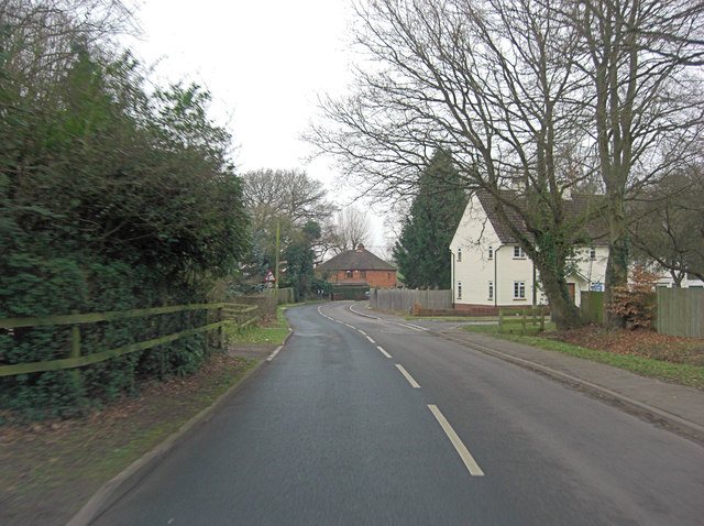
Images are sourced within 2km of 51.451294/-1.2620142 or Grid Reference SU5172. Thanks to Geograph Open Source API. All images are credited.


Pheasant Hill Wood is located at Grid Ref: SU5172 (Lat: 51.451294, Lng: -1.2620142)
Unitary Authority: West Berkshire
Police Authority: Thames Valley
What 3 Words
///irony.jumbo.tripling. Near Hermitage, Berkshire
Nearby Locations
Related Wikis

Grimsbury Castle
Grimsbury Castle is an Iron Age "multiple enclosure" Hill Fort comprising a large circular encampment situated on a high hill. It is situated within Grimsbury...

Hermitage railway station
Hermitage railway station was a railway station on the Didcot, Newbury and Southampton Railway which served the villages of Hermitage and Oare in Berkshire...

Pinewood Halt railway station
Pinewood Halt railway station was a station on the Didcot, Newbury and Southampton Railway in England. It served the northern parts of Hermitage and Oare...

Hermitage, Berkshire
Hermitage is a village and civil parish, near Newbury, in the English county of Berkshire. The civil parish is made up of a number of settlements: Hermitage...

Oare, Berkshire
Oare is a small village in the civil parish of Chieveley in the English county of Berkshire. == History == Oare boasts the earliest documented history...
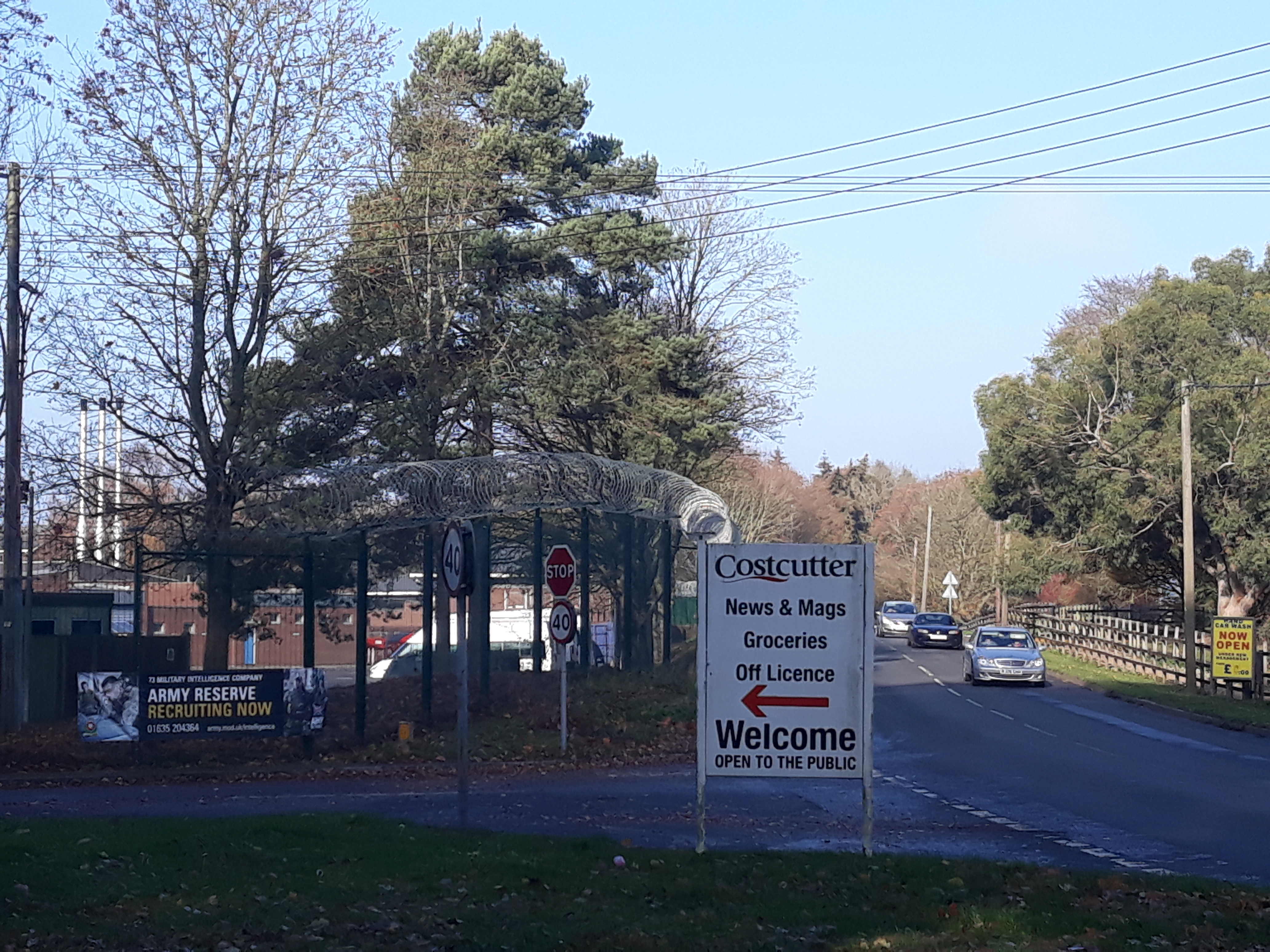
Denison Barracks
Denison Barracks is a British Army installation at Hermitage in Berkshire, England. == History == The site was used as an American military hospital during...
Royal School of Military Survey
Royal School of Military Survey (DCI RSMS) is a joint services survey training facility associated with the Corps of Royal Engineers (RE) but attached...
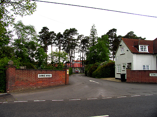
Downe House School
Downe House School is a selective independent girls' boarding and day school in Cold Ash, a village near Newbury, Berkshire, for girls aged 11–18.The Good...
Nearby Amenities
Located within 500m of 51.451294,-1.2620142Have you been to Pheasant Hill Wood?
Leave your review of Pheasant Hill Wood below (or comments, questions and feedback).