Hermitage
Civil Parish in Berkshire
England
Hermitage
Hermitage is a civil parish located in the county of Berkshire, England. It is situated approximately 7 miles west of Newbury, the nearest major town. The parish covers an area of about 15 square kilometers and is home to a population of around 2,000 residents.
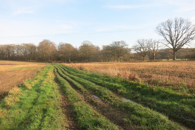
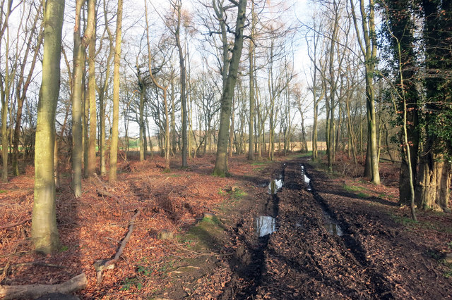
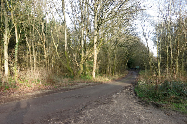
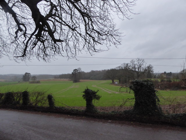
The village of Hermitage itself is known for its picturesque rural setting, surrounded by rolling countryside and beautiful woodlands. The area is popular with outdoor enthusiasts, offering opportunities for walking, cycling, and horse riding.
Hermitage has a rich history, with evidence of human habitation dating back to the Iron Age. The village grew significantly during the 19th century with the construction of the Great Western Railway, which brought new opportunities for trade and employment.
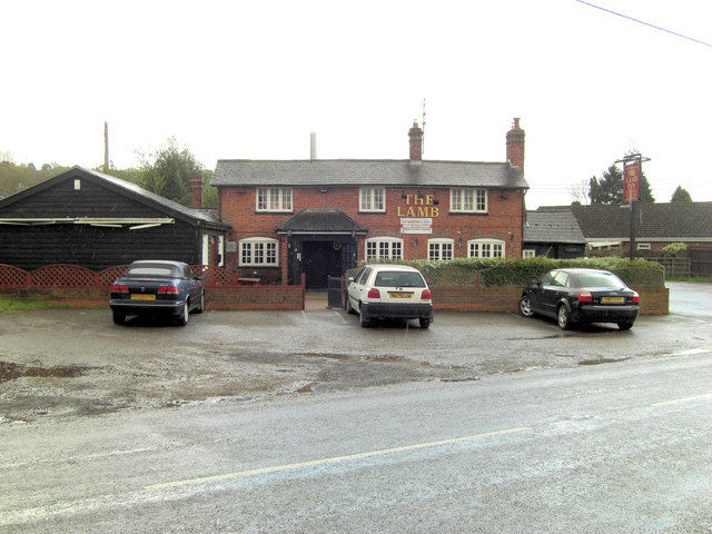
Today, Hermitage is a thriving community with a range of amenities and services. The village has a primary school, a post office, a village hall, and a number of shops and local businesses. There are also several pubs and restaurants, providing options for dining and socializing.
Hermitage is well connected to other parts of Berkshire and beyond, with good road links to nearby towns and cities. The M4 motorway is easily accessible, providing convenient access to London and Bristol. There are also regular bus services connecting Hermitage to Newbury and other nearby towns.
In conclusion, Hermitage is a charming civil parish in Berkshire, offering a peaceful and rural lifestyle with easy access to modern amenities and transportation links.
If you have any feedback on the listing, please let us know in the comments section below.
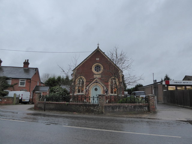
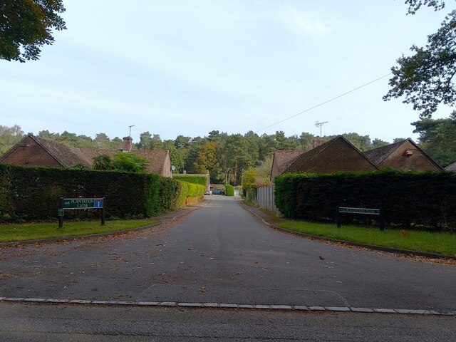
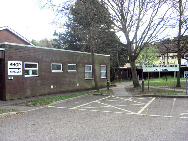
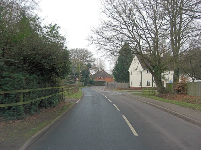
Hermitage Images
Images are sourced within 2km of 51.451186/-1.26032 or Grid Reference SU5172. Thanks to Geograph Open Source API. All images are credited.


Hermitage is located at Grid Ref: SU5172 (Lat: 51.451186, Lng: -1.26032)
Unitary Authority: West Berkshire
Police Authority: Thames Valley
What 3 Words
///thrusters.telephone.gracing. Near Hermitage, Berkshire
Nearby Locations
Related Wikis

Grimsbury Castle
Grimsbury Castle is an Iron Age "multiple enclosure" Hill Fort comprising a large circular encampment situated on a high hill. It is situated within Grimsbury...

Hermitage railway station
Hermitage railway station was a railway station on the Didcot, Newbury and Southampton Railway which served the villages of Hermitage and Oare in Berkshire...

Pinewood Halt railway station
Pinewood Halt railway station was a station on the Didcot, Newbury and Southampton Railway in England. It served the northern parts of Hermitage and Oare...

Hermitage, Berkshire
Hermitage is a village and civil parish, near Newbury, in the English county of Berkshire. The civil parish is made up of a number of settlements: Hermitage...

Oare, Berkshire
Oare is a small village in the civil parish of Chieveley in the English county of Berkshire. == History == Oare boasts the earliest documented history...
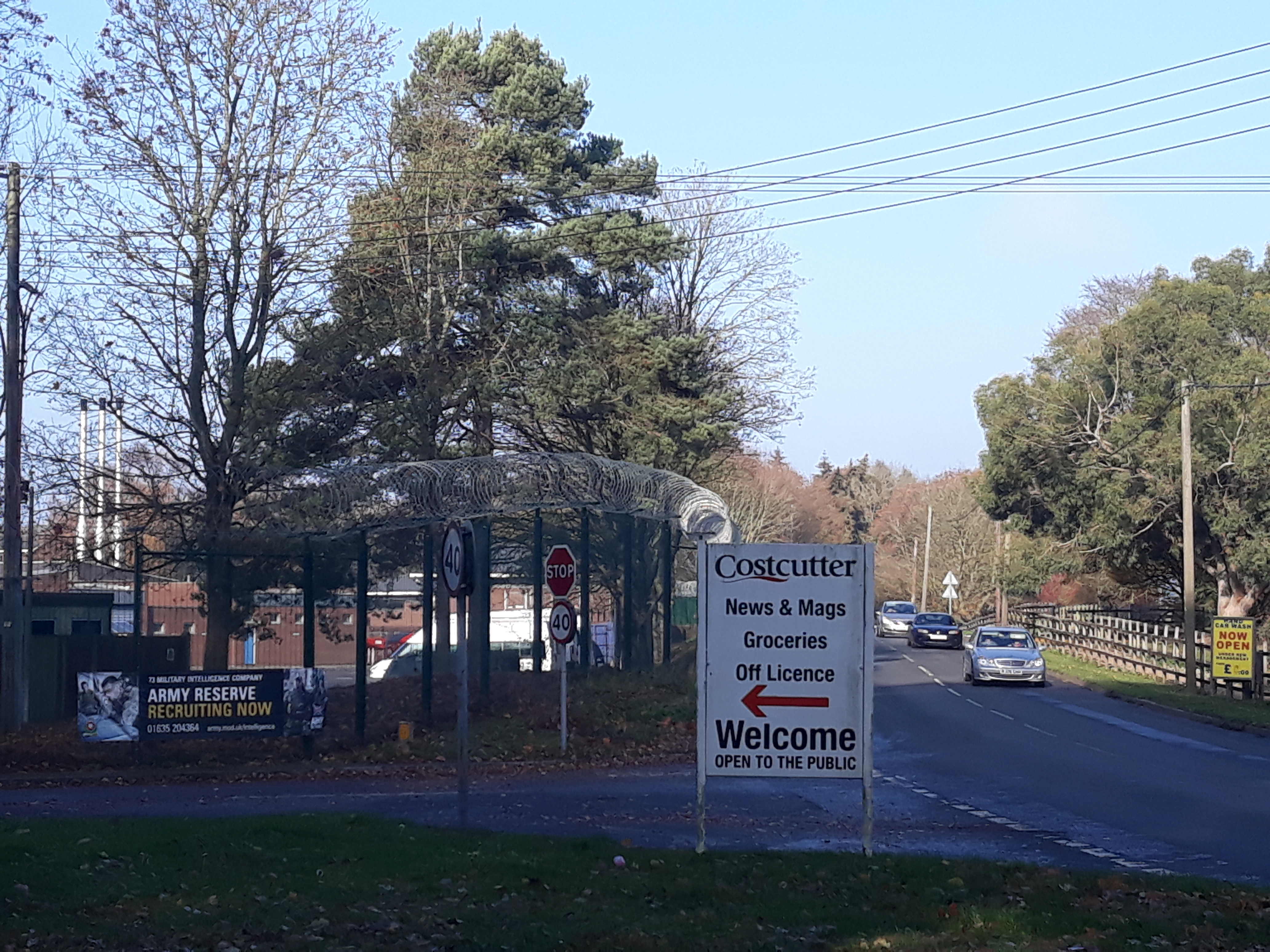
Denison Barracks
Denison Barracks is a British Army installation at Hermitage in Berkshire, England. == History == The site was used as an American military hospital during...
Royal School of Military Survey
Royal School of Military Survey (DCI RSMS) is a joint services survey training facility associated with the Corps of Royal Engineers (RE) but attached...

Brockhurst and Marlston House School
Brockhurst and Marlston House School is a British independent and boarding preparatory school. It occupies Marlston House, a grade II* listed Elizabethan...
Nearby Amenities
Located within 500m of 51.451186,-1.26032Have you been to Hermitage?
Leave your review of Hermitage below (or comments, questions and feedback).