Hereford

Civil Parish in Herefordshire

England

Hereford

Houses on Three Elms Road, Hereford
Houses on Three Elms Road, Hereford Credit: Eirian Evans

Hereford is a civil parish located in the county of Herefordshire, England. It is the county town and serves as the administrative center of Herefordshire. The town is situated on the banks of the River Wye, approximately 16 miles east of the border with Wales.

Hereford is known for its rich history, dating back to the Saxon era. The town's most iconic landmark is Hereford Cathedral, which dates back to the 12th century and features the famous Mappa Mundi, a medieval map of the world. The cathedral attracts visitors from around the globe and is an important religious and cultural site.

The town center of Hereford is a charming mix of modern amenities and historic buildings. High Town, the main square, is home to a variety of shops, cafes, and restaurants. The Old House, a black-and-white timber-framed building, is a notable historic attraction in the area.

Hereford is also renowned for its agricultural heritage, particularly its world-famous breed of cattle, the Hereford. The town hosts the annual Hereford Cattle Market, one of the largest livestock markets in the country.

The surrounding countryside of Hereford is picturesque, with rolling hills and scenic landscapes. The area offers opportunities for outdoor activities such as hiking, fishing, and cycling. The River Wye is popular for canoeing and kayaking, attracting enthusiasts from all over.

Hereford is well-connected by road and rail, with regular train services to major cities like Birmingham and Cardiff. It is a vibrant town that combines a rich heritage with modern amenities, making it an attractive destination for both residents and visitors.

If you have any feedback on the listing, please let us know in the comments section below.
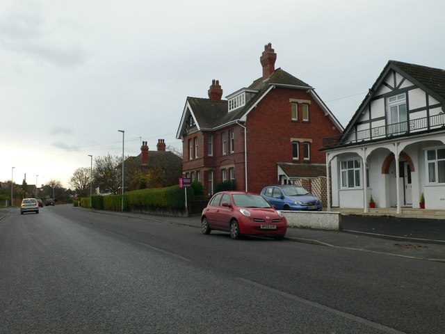
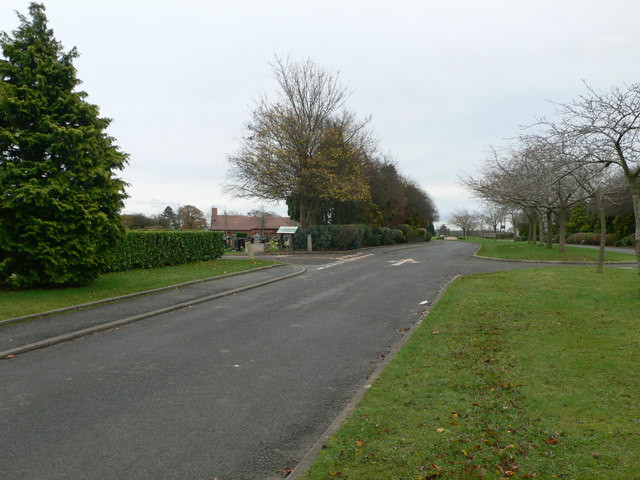
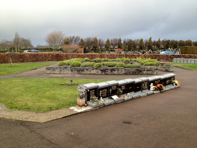
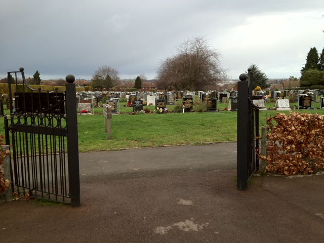
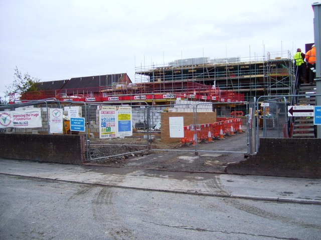
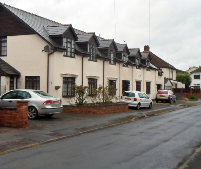
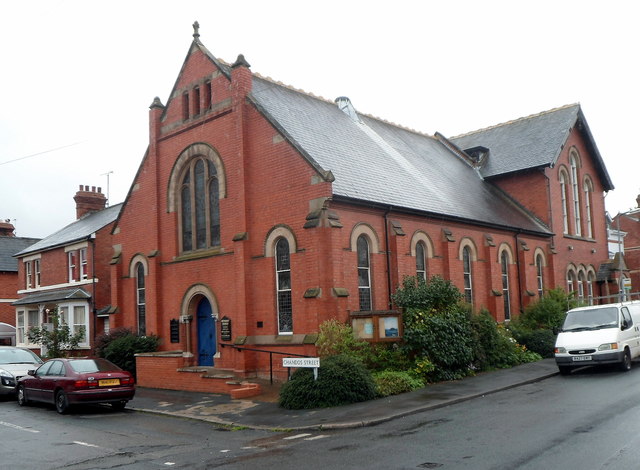
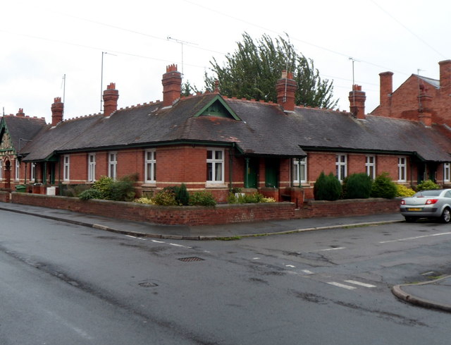
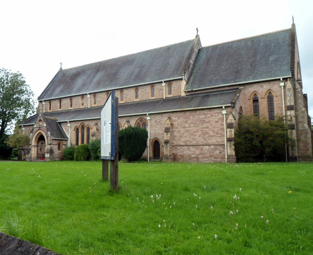
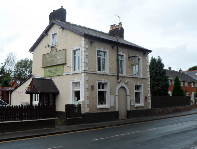
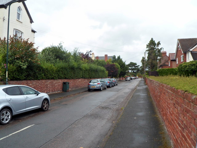
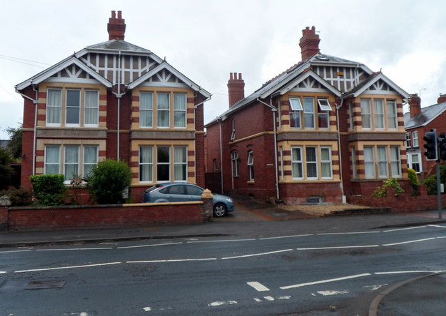
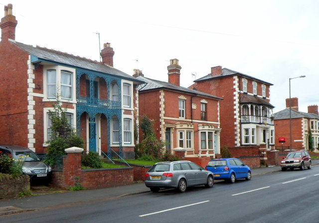
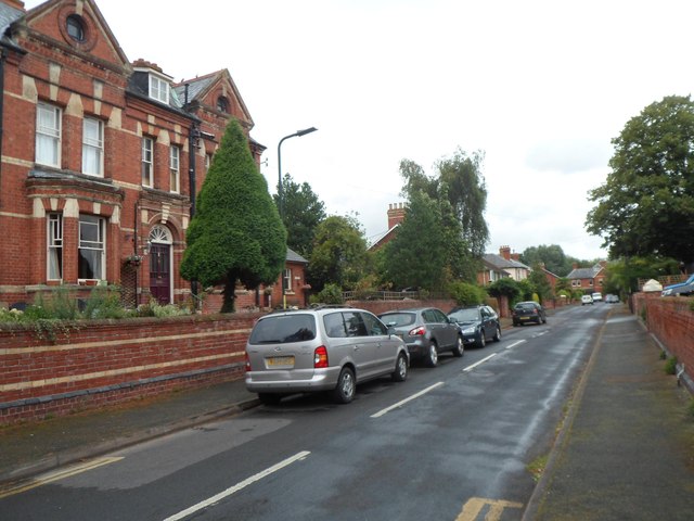
Hereford Images

Images are sourced within 2km of 52.057075/-2.722045 or Grid Reference SO5040. Thanks to Geograph Open Source API. All images are credited.

Houses on Three Elms Road, Hereford
The road into Hereford Cemetery and Crematorium
Garden of Rest, Hereford Cemetery This area for the interment of cremated remains is close to the new crematorium.
Garden of Rest, Hereford Cemetery
This area for the interment of cremated remains is close to the new crematorium.
Hereford Cemetery To the west of the city centre, off the long Westfaling Street.
Hereford Cemetery
To the west of the city centre, off the long Westfaling Street.
32 new properties off Highmore Street
White Horse Square houses, Hereford Viewed from the White Horse Street end.
White Horse Square houses, Hereford
Viewed from the White Horse Street end.
Chandos Street Methodist Church, Hereford On the corner of Chandos Street and White Horse Street.
Chandos Street Methodist Church, Hereford
On the corner of Chandos Street and White Horse Street.
Jubilee Almshouses, Hereford Late Victorian almshouses on the corner of Chandos Street and White Horse Street, opposite Chandos Street Methodist Church. <a title="https://www.geograph.org.uk/photo/3524955" href="https://www.geograph.org.uk/photo/3524955">Link</a>
A tablet <a title="https://www.geograph.org.uk/photo/3525031" href="https://www.geograph.org.uk/photo/3525031">Link</a> depicting stag and verderers shows the year 1887, the Golden Jubilee of Queen Victoria.
Jubilee Almshouses, Hereford
Late Victorian almshouses on the corner of Chandos Street and White Horse Street, opposite Chandos Street Methodist Church. Link A tablet Link depicting stag and verderers shows the year 1887, the Golden Jubilee of Queen Victoria.
Jubilee Almshouses tablet, Hereford The tablet is on the White Horse Street side of the almshouses. <a title="https://www.geograph.org.uk/photo/3525023" href="https://www.geograph.org.uk/photo/3525023">Link</a>
Jubilee Almshouses tablet, Hereford
The tablet is on the White Horse Street side of the almshouses. Link
Britannia pub, Hereford Wye Valley Brewery pub in Cotterell Street. <a title="https://www.geograph.org.uk/photo/3525068" href="https://www.geograph.org.uk/photo/3525068">Link</a> to a closeup of the pub sign.
Britannia pub, Hereford
Wye Valley Brewery pub in Cotterell Street. Link to a closeup of the pub sign.
Britannia pub sign, Hereford Hanging above the pub entrance here. <a title="https://www.geograph.org.uk/photo/3525063" href="https://www.geograph.org.uk/photo/3525063">Link</a>
Britannia pub sign, Hereford
Hanging above the pub entrance here. Link
Hereford Musical Theatre Company This is the Whitecross Road theatre & clubroom of Hereford Musical Theatre Company which was founded in 1898 as Hereford Amateur Operatic Society.
Hereford Musical Theatre Company
This is the Whitecross Road theatre & clubroom of Hereford Musical Theatre Company which was founded in 1898 as Hereford Amateur Operatic Society.
Holy Trinity Parish Church, Hereford The Anglican church on the north side of Whitecross Road serves a large parish in the west of Hereford. The first foundation stone for the church was laid in 1884.  Today, the building is used for a wide range of activities, religious and secular, including concerts and exhibitions.
Holy Trinity Parish Church, Hereford
The Anglican church on the north side of Whitecross Road serves a large parish in the west of Hereford. The first foundation stone for the church was laid in 1884. Today, the building is used for a wide range of activities, religious and secular, including concerts and exhibitions.
The Buckingham of Hereford The name on the side wall of the pub at 141 Whitecross Road Hereford is The Buckingham of Hereford.
The Buckingham of Hereford
The name on the side wall of the pub at 141 Whitecross Road Hereford is The Buckingham of Hereford.
Baggallay Street, Hereford A side street viewed from the Whitecross Road end. My guess on seeing the unusual street name that perhaps it was a Hereford version of back alley was fanciful. The street is probably named after Sir Richard Baggallay (1816–1888), who was Member of Parliament for Hereford from 1865 to 1868.
Baggallay Street, Hereford
A side street viewed from the Whitecross Road end. My guess on seeing the unusual street name that perhaps it was a Hereford version of back alley was fanciful. The street is probably named after Sir Richard Baggallay (1816–1888), who was Member of Parliament for Hereford from 1865 to 1868.
Distinctive houses, Whitecross Road, Hereford The houses are on the corner of Whitecross Road and Holmer Street, viewed from Baggallay Street.
Distinctive houses, Whitecross Road, Hereford
The houses are on the corner of Whitecross Road and Holmer Street, viewed from Baggallay Street.
Whitecross Road houses near Amyand Drive, Hereford Viewed across Whitecross Road looking towards the left turn into Amyand Drive.
Whitecross Road houses near Amyand Drive, Hereford
Viewed across Whitecross Road looking towards the left turn into Amyand Drive.
Ingestre Street, Hereford Viewed from the Whitecross Road end looking towards Gruneisen Street.
Ingestre Street, Hereford
Viewed from the Whitecross Road end looking towards Gruneisen Street.
Show me another place!

Hereford is located at Grid Ref: SO5040 (Lat: 52.057075, Lng: -2.722045)

Unitary Authority: County of Herefordshire

Police Authority: West Mercia

What 3 Words

///clever.larger.jumped. Near Hereford, Herefordshire

Related Wikis

Victoria Eye Hospital

The Victoria Eye Hospital was a health facility located on Eign Street in Hereford, England. The main building has since been converted into apartments...

Hereford Moorfields railway station

Hereford Moorfields railway station was a station in Hereford, Herefordshire, England. The station was opened in 1863 and closed in 1874. The station handled...

Hereford Barton railway station

Hereford Barton railway station was a station in Hereford, Herefordshire, England. == History == The station was opened on 2 January 1854 and closed on...

Cider Museum, Hereford

The Cider Museum is a museum in Hereford, England, about the history of cider. The museum was set up as a Trust in the 1970s by Bertram Bulmer, Norman...

Nearby Amenities

Located within 500m of 52.057075,-2.722045
Traffic Signals
Lanes: 4
Lanes Backward: 1
Lanes Forward: 3
Lat/Long: 52.0571446/-2.7243369
Mini Roundabout
Direction: clockwise
Lat/Long: 52.0561437/-2.7275155
Traffic Signals
Traffic Signals: signal
Lat/Long: 52.0581328/-2.7194241
Traffic Signals
Traffic Signals: signal
Lat/Long: 52.0577918/-2.7191694
Traffic Signals
Lat/Long: 52.0568224/-2.7204642
Traffic Signals
Lat/Long: 52.0600758/-2.7188162
Traffic Signals
Lat/Long: 52.0601003/-2.7189765
Telephone
Booth: K6
Covered: booth
Listed Status: Grade II
Note: this is the phone box in the short film; The Dog Box
Phone: +44 1432 265676
Lat/Long: 52.0544768/-2.7188066
Post Box
Post Box Design: type_k
Post Box Type: pillar
Royal Cypher: EIIR
Royal Cypher Wikidata: Q33102113
Lat/Long: 52.0608671/-2.7191711
Pub
The Moorfield
Lat/Long: 52.0592548/-2.7204981
Bicycle Parking
Lat/Long: 52.0611955/-2.719494
Traffic Signals
Traffic Signals: signal
Lat/Long: 52.0578135/-2.7200589
Crossing
Crossing: traffic_signals
Lat/Long: 52.0584779/-2.7198312
Crossing
Crossing: traffic_signals
Lat/Long: 52.0562432/-2.7244
Traffic Signals
Lat/Long: 52.0598384/-2.7171931
Mini Roundabout
Direction: clockwise
Lat/Long: 52.0565229/-2.7244929
Mini Roundabout
Direction: clockwise
Lat/Long: 52.0550585/-2.726078
Crossing
Crossing: uncontrolled
Crossing Ref: zebra
Lat/Long: 52.0550965/-2.7257554
Toilets
Lat/Long: 52.0601156/-2.7171749
Crossing
Crossing: marked
Crossing Markings: yes
Tactile Paving: yes
Lat/Long: 52.0547254/-2.7172474
Traffic Signals
Source: bing
Lat/Long: 52.0539379/-2.7203279
Bus Stop
Bridge Street
Bus: yes
Naptan AtcoCode: 2090A061100
Naptan Bearing: N
Naptan CommonName: Bridge Street
Naptan Indicator: adj Mastercraft
Naptan Landmark: Mastercraft Cycle Shop
Naptan NaptanCode: heradatm
Naptan PlusbusZoneRef: HEREFRD
Naptan Street: Bridge Street
Naptan Verified: no
Public Transport: platform
Source: naptan_import
Lat/Long: 52.0539573/-2.7188785
Bus Stop
Broad Street
Bench: yes
Bin: yes
Bus: yes
Lit: no
Naptan AtcoCode: 2090A061102
Naptan Bearing: S
Naptan CommonName: Broad Street
Naptan Indicator: adj Catholic Church
Naptan Landmark: Catholic Church
Naptan NaptanCode: heradatw
Naptan PlusbusZoneRef: HEREFRD
Naptan Street: Broad Street
Naptan Verified: no
Public Transport: platform
Shelter: yes
Source: naptan_import
Tactile Paving: no
Lat/Long: 52.0551536/-2.7172661
Bus Station
Bus Stop
City Bus Station
Alt Name: Hopper Bus Station;Hopper Bus Station;Tesco
Bus: yes
Local Ref: NK
Naptan AltCommonName: Hopper Bus Station;Tesco
Naptan AltStreet: Not Specified;Not Specified
Naptan AtcoCode: 2090A111709
Naptan CommonName: City Bus Station
Naptan Indicator: NK
Naptan Landmark: Bus Station- Rear of Tesco Supermarket
Naptan NaptanCode: heradmwm
Naptan PlusbusZoneRef: HEREFRD
Naptan Street: Fryzers Court
Naptan Verified: no
Public Transport: station
Source: naptan_import
Lat/Long: 52.0573394/-2.7190143
Bus Stop
Cattle Market
Bus: yes
Naptan AtcoCode: 2090A111710
Naptan Bearing: E
Naptan CommonName: Cattle Market
Naptan Indicator: adj
Naptan Landmark: Cattle Market Entrance
Naptan NaptanCode: heradmwp
Naptan PlusbusZoneRef: HEREFRD
Naptan Street: Newmarket Street (A465)
Naptan Verified: no
Public Transport: platform
Source: naptan_import
Lat/Long: 52.0583933/-2.7167251
Bus Stop
Sainsbury's
Bus: yes
Naptan AtcoCode: 2090A151000
Naptan Bearing: N
Naptan CommonName: Sainsbury's
Naptan Indicator: bus layby
Naptan Landmark: Sainsbury's
Naptan NaptanCode: heragjpt
Naptan PlusbusZoneRef: HEREFRD
Naptan Street: Barton Yard
Naptan Verified: no
Public Transport: platform
Source: naptan_import
Lat/Long: 52.0552039/-2.724225
Bus Stop
Penhaligon Way
Bus: yes
Naptan AtcoCode: 2090A151400
Naptan Bearing: E
Naptan BusStopType: CUS
Naptan CommonName: Penhaligon Way
Naptan Indicator: adj
Naptan Landmark: opp Courtyard Theatre
Naptan NaptanCode: heragjtg
Naptan PlusbusZoneRef: HEREFRD
Naptan Street: Penhaligon Way
Naptan Verified: no
Public Transport: platform
Source: naptan_import
Lat/Long: 52.0611106/-2.7204552
Bus Stop
Victoria Court
Alt Name: Victoria Eye Hospital
Bench: no
Bin: yes
Bus: yes
Mapillary: 461310914946494
Naptan AltCommonName: Victoria Eye Hospital
Naptan AltStreet: Not Specified
Naptan AtcoCode: 2090A18806
Naptan Bearing: W
Naptan CommonName: Victoria Court
Naptan Indicator: adj
Naptan Landmark: opp Horse and Groom PH
Naptan NaptanCode: herajdta
Naptan PlusbusZoneRef: HEREFRD
Naptan Street: Eign Street
Naptan Verified: no
Public Transport: platform
Shelter: yes
Source: naptan_import
Survey Date: 2020-10-15
Lat/Long: 52.0569114/-2.7232556
Bus Stop
Victoria Court
Alt Name: Victoria Eye Hospital
Bench: no
Bin: no
Bus: yes
Mapillary: 156872283062633
Naptan AltCommonName: Victoria Eye Hospital
Naptan AltStreet: Not Specified
Naptan AtcoCode: 2090A18808
Naptan Bearing: E
Naptan CommonName: Victoria Court
Naptan Indicator: opp
Naptan Landmark: opp Sainsburys
Naptan NaptanCode: herajdtd
Naptan PlusbusZoneRef: HEREFRD
Naptan Street: Eign Street
Naptan Verified: no
Public Transport: platform
Shelter: no
Source: naptan_import
Survey Date: 2020-10-15
Lat/Long: 52.0571132/-2.7233224
Bus Stop
Football Ground
Bus: yes
Naptan AtcoCode: 2090A19178
Naptan Bearing: S
Naptan CommonName: Football Ground
Naptan Indicator: adj
Naptan Landmark: Football Ground
Naptan NaptanCode: herajtgw
Naptan PlusbusZoneRef: HEREFRD
Naptan Street: Edgar Street. Hereford
Naptan Verified: no
Public Transport: platform
Source: naptan_import
Lat/Long: 52.0608896/-2.7183884
Bus Stop
Ryelands Street
Bench: no
Bin: no
Bus: yes
Mapillary: 196278338886402
Naptan AtcoCode: 2090A19302
Naptan Bearing: NW
Naptan CommonName: Ryelands Street
Naptan Indicator: adj
Naptan Landmark: o/s No 33 Whitecross Road
Naptan NaptanCode: herajwgt
Naptan PlusbusZoneRef: HEREFRD
Naptan Street: Whitecross Street
Naptan Verified: no
Public Transport: platform
Shelter: no
Source: naptan_import
Survey Date: 2020-10-15
Lat/Long: 52.0578931/-2.7266167
Bus Stop
Ryelands Street
Bench: no
Bin: no
Bus: yes
Mapillary: 1631417933720323
Naptan AtcoCode: 2090A19304
Naptan Bearing: SE
Naptan CommonName: Ryelands Street
Naptan Indicator: opp
Naptan Landmark: o/s No 34 Whitecross Road
Naptan NaptanCode: herajwgw
Naptan PlusbusZoneRef: HEREFRD
Naptan Street: Whitecross Road
Naptan Verified: no
Public Transport: platform
Shelter: no
Source: naptan_import
Survey Date: 2020-10-15
Lat/Long: 52.0578416/-2.7262221
Bus Stop
Gala Bingo
Bus: yes
Naptan AtcoCode: 2090A208200
Naptan Bearing: E
Naptan CommonName: Gala Bingo
Naptan Indicator: opp
Naptan Landmark: Back of Woolworths
Naptan NaptanCode: herapmda
Naptan PlusbusZoneRef: HEREFRD
Naptan Street: West Street
Naptan Verified: no
Public Transport: platform
Source: naptan_import
Lat/Long: 52.0556811/-2.719371
Fast Food
Dolphin Fish Bar
Cuisine: fish_and_chips
Lat/Long: 52.0565761/-2.7197123
Cafe
Caffè Nero
Addr City: Hereford
Addr Housenumber: 8
Addr Postcode: HR4 0AB
Addr Street: Eign Gate
Brand: Caffè Nero
Brand Wikidata: Q675808
Brand Wikipedia: en:Caffè Nero
Contact Website: https://caffenero.com/uk/store/hereford-282/
Cuisine: coffee_shop
Fhrs Id: 489211
Source Addr: FHRS Open Data
Takeaway: yes
Wheelchair: yes
Lat/Long: 52.0565396/-2.7181561
Addr City: Hereford
Addr Country: GB
Addr Housenumber: 25
Addr Postcode: HR4 0AB
Addr Street: Eign Gate
Check Date: 2012-06-12
Disused Shop: frozen_food
Old Name: Iceland
Lat/Long: 52.0563235/-2.7185825
Post Box
Brand: Royal Mail
Collection Times: Mo-Fr 17:00; Sa 11:30
Operator: Royal Mail
Operator Wikidata: Q638098
Post Box Type: pillar
Ref: HR4 9
Royal Cypher: EIIR
Royal Cypher Wikidata: Q33102113
Lat/Long: 52.0565381/-2.7202425
Telephone
Booth: KX100
Covered: booth
Lat/Long: 52.0565886/-2.720266
Atm
Brand: RBS
Brand Wikidata: Q160126
Official Name: Royal Bank of Scotland
Operator: RBS
Operator Wikidata: Q160126
Lat/Long: 52.0567927/-2.718535
Pub
The Bowling Green
Lat/Long: 52.0568138/-2.7180869
Restaurant
Leaven
Addr City: Hereford
Addr Housenumber: 38-39
Addr Postcode: HR4 9AR
Addr Street: Broad Street
Cuisine: italian
Fhrs Id: 487224
Source Addr: FHRS Open Data
Website: https://www.askitalian.co.uk/restaurants/hereford
Lat/Long: 52.0551338/-2.717582
Restaurant
The Stewing Pot
Cuisine: regional
Lat/Long: 52.055517/-2.7160264
Post Box
Collection Plate: CP1
Collection Times: Mo-Fr 17:30; Sa 11:00
Historic Operator: Royal Mail
Post Box Apertures: 2
Post Box Design: type_c
Post Box Type: pillar
Ref: HR4 100
Royal Cypher: EIIR
Royal Cypher Wikidata: Q33102113
Lat/Long: 52.0538413/-2.7187105
Pub
Booth Hall
Lat/Long: 52.0559974/-2.7151074
Bank
Barclays
Atm: yes
Brand: Barclays
Brand Wikidata: Q245343
Brand Wikipedia: en:Barclays
Operator: Barclays Bank PLC
Lat/Long: 52.0562218/-2.717336
Restaurant
JJs Diner and Bar
Cuisine: indian
Lat/Long: 52.053416/-2.7186662
Pub
The Spread Eagle
Addr City: Hereford
Addr Housenumber: 2
Addr Postcode: HR4 9BW
Addr Street: King Street
Fhrs Id: 910877
Source Addr: FHRS Open Data
Lat/Long: 52.0543356/-2.7173932
Post Box
Check Date: 2022-08-13
Collection Plate: CP1
Collection Times: Mo-Fr 17:30; Sa 11:00
Historic Operator: Royal Mail
Post Box Type: pillar
Ref: HR4 42
Royal Cypher: EIIR
Royal Cypher Wikidata: Q33102113
Lat/Long: 52.0550326/-2.7174037
Toilets
Lat/Long: 52.0558554/-2.716963
City Arms
Historic: memorial
Inscription: Site of North Gate of Saxon Town. Formerly the Town House of the Duke of Norfolk, this became the City Arms Hotel and Nelson stayed here 23rd August 1802
Memorial: plaque
Memorial Plaque Colour: green
Operator: City of Hereford
Lat/Long: 52.0561342/-2.7172934
Doctors
King Street Surgery
Healthcare: doctor
Lat/Long: 52.0546337/-2.7182117
Parking Entrance
Foot: no
Wheelchair: no
Lat/Long: 52.0572679/-2.7181569
Post Office
Hereford Post Office
Addr City: Hereford
Addr Country: GB
Addr Housenumber: 25-26
Addr Postcode: HR1 2AB
Addr Street: High Town
Opening Hours: Mo-Sa 09:00-17:00
Ref Pol Id: 149232
Lat/Long: 52.0560963/-2.7157392
Pub
The Grapes Tavern
Source: Local knowledge
Toilets: yes
Toilets Access: public
Toilets Scheme: Herefordshire Council Community Toilet Scheme
Lat/Long: 52.0560043/-2.7161912
Restaurant
Thai on Wye
Cuisine: thai
Source: Local knowledge
Lat/Long: 52.0559072/-2.7185004
Crossing
Lat/Long: 52.0560129/-2.7249895
Pub
The Imperial
Addr City: Hereford
Addr Housenumber: 31
Addr Postcode: HR4 9EA
Addr Street: Widemarsh Street
Operator: Stonegate
Operator Wikidata: Q7619176
Website: https://www.greatukpubs.co.uk/imperial-inn-hereford
Lat/Long: 52.0574595/-2.7164797
Crossing
Crossing: zebra
Lat/Long: 52.0574627/-2.7181598
Crossing
Crossing: zebra
Lat/Long: 52.0567763/-2.7186656
Cafe
Sainsbury's Cafe
Lat/Long: 52.0548861/-2.7243951
Pub
Lichfield Vaults
Addr City: Hereford
Addr Housenumber: 11
Addr Postcode: HR1 2LR
Addr Street: Church Street
Fhrs Id: 488912
Source Addr: FHRS Open Data
Lat/Long: 52.0556935/-2.7160183
Cafe
Cafe @ All Saints
Addr Housename: All Saints Church
Addr Postcode: HR4 9AA
Addr Street: High Street
Alt Name: Cafe @ All Saints
Cuisine: coffee_shop
Old Name: AllSaints Church
Website: http://www.cafeatallsaints.co.uk/
Lat/Long: 52.0564726/-2.7175616
Cafe
The Coffee Cart Co. Ltd (My Coffee Corner)
Lat/Long: 52.0565312/-2.715887
Bulmer's Woodpecker Statue
Artwork Type: statue
Tourism: artwork
Lat/Long: 52.0570921/-2.7247597
Pub
Horse and Groom
Toilets: yes
Toilets Access: public
Toilets Scheme: Herefordshire Council Community Toilet Scheme
Lat/Long: 52.0570718/-2.7224378
Crossing
Crossing: zebra
Lat/Long: 52.0574656/-2.7182849
Crossing
Check Date Crossing: 2022-04-29
Crossing: traffic_signals
Tactile Paving: yes
Lat/Long: 52.058252/-2.7195661
Crossing
Crossing: zebra
Lat/Long: 52.0574881/-2.7185243
Access: no
Entrance: main
Lat/Long: 52.0543317/-2.7167872
Bench
Lat/Long: 52.0544606/-2.7184229
Bench
Lat/Long: 52.0544722/-2.7182257
Bicycle Parking
Bicycle Parking: stands
Capacity: 30
Covered: no
Lat/Long: 52.0546909/-2.7172855
Mini Roundabout
Lat/Long: 52.0543938/-2.7239929
Noexit: yes
Lat/Long: 52.0534018/-2.7198096
Traffic Signals
Source: bing
Lat/Long: 52.0541359/-2.7200587
Traffic Signals
Source: bing
Lat/Long: 52.0542925/-2.7202274
Noexit: yes
Lat/Long: 52.058678/-2.7227331
Crossing
Crossing: traffic_signals
Lat/Long: 52.0569996/-2.7228285
Pub
Beer In Hand
Addr Housenumber: 136
Addr Postcode: HR4 0AP
Addr Street: Eign Street
Source: survey
Website: http://www.beerinhand.co.uk/
Lat/Long: 52.0569815/-2.7217152
Crossing
Crossing: traffic_signals
Crossing Ref: toucan
Lat/Long: 52.0604669/-2.7186247
Crossing
Crossing: traffic_signals
Crossing Ref: toucan
Lat/Long: 52.0604943/-2.7187551
Fire Hydrant
Emergency: fire_hydrant
Fire Hydrant Type: underground
Lat/Long: 52.0548912/-2.7161242
Fire Hydrant
Emergency: fire_hydrant
Fire Hydrant Type: underground
Lat/Long: 52.055952/-2.7151179
Fire Hydrant
Emergency: fire_hydrant
Fire Hydrant Type: underground
Lat/Long: 52.0559737/-2.7175282
Bar
Hereford Beer House
Addr City: Hereford
Addr Housenumber: 65
Addr Postcode: HR4 0BX
Addr Street: West Street
Description: Beer and cidershop with tables, international draught and bottled beers
Smoking: no
Source: survey
Website: http://herefordbeerhouse.co.uk/
Lat/Long: 52.056057/-2.719064
Traffic Signals
Lat/Long: 52.0582618/-2.7155945
Traffic Signals
Lat/Long: 52.058369/-2.7159512
Traffic Signals
Lat/Long: 52.0584574/-2.7156869
Traffic Signals
Source: bing
Lat/Long: 52.0540205/-2.7204996
Traffic Signals
Lat/Long: 52.0565255/-2.7206467
Crossing
Lat/Long: 52.0596665/-2.7181781
Crossing
Lat/Long: 52.0598237/-2.7188264
Entrance: main
Lat/Long: 52.0559958/-2.7263536
Fast Food
West Cornwall Pasty Company
Lat/Long: 52.0568172/-2.7162875
Parking Entrance
Tesco Parking - Entrance
Lat/Long: 52.0567509/-2.7198301
Entrance: main
Lat/Long: 52.0567384/-2.7188037
Crossing
Crossing: zebra
Lat/Long: 52.0572858/-2.7186812
Parking Entrance
Tesco Underground Parking - Foot Entrance/Exit
Bicycle: yes
Foot: yes
Vehicle: no
Wheelchair: yes
Lat/Long: 52.0568509/-2.7186994
Hunters
Brand: Hunters
Brand Wikidata: Q110476092
Office: estate_agent
Lat/Long: 52.0540593/-2.7186469
Fast Food
Jamal's Kebab House
Phone: +44 1432263318
Lat/Long: 52.0539476/-2.7186359
Harrison Clark Rickerbys
Addr City: Hereford
Addr Housename: Thorpe House
Addr Housenumber: 29
Addr Postcode: HR4 9AR
Addr Street: Broad Street
Office: lawyer
Opening Hours: Mo-Su 08:30-17:30
Phone: +44 1432 349 670
Source: survey
Website: https://www.hcrlaw.com/offices/hereford/
Lat/Long: 52.054576/-2.7174468
Stooke Hill & Walshe
Office: estate_agent
Phone: +44 1432343477
Lat/Long: 52.0543104/-2.7180054
Chancellors
Office: estate_agent
Source: survey
Lat/Long: 52.0545293/-2.7184991
Blooming Temptations
Phone: +44 1432360316
Shop: florist
Lat/Long: 52.0542694/-2.7185482
Andrew Grant
Addr City: Hereford
Addr Housename: Thorpe House
Addr Housenumber: 29
Addr Postcode: HR4 9AR
Addr Street: Broad Street
Email: shropshire@andrewgrant.com
Office: estate_agent
Opening Hours: Mo-Fr 08:30-17:30; Sa 09:00-16:00; Su off
Opening Hours Covid19: Mo-Fr 08:30-17:30; Sa 09:00-16:00; Su Off
Phone: +44 1432 355 292
Source: survey
Website: https://www.andrew-grant.co.uk/branches/hereford-and-shropshire-estate-agents
Lat/Long: 52.0546812/-2.7174566
Williams
Office: estate_agent
Source: survey
Lat/Long: 52.0545641/-2.7179661
Pritchards
Shop: clothes
Lat/Long: 52.0543068/-2.7181211
Arena Lettings
Office: estate_agent
Source: survey
Lat/Long: 52.0545152/-2.7187871
Cobb Amos
Office: estate_agent
Lat/Long: 52.0542481/-2.7186291
Maless Barbers
Addr Housenumber: 24b
Shop: hairdresser
Source: survey
Lat/Long: 52.0545669/-2.7178585
Cafe
Cafe Bodega
Source: survey
Lat/Long: 52.0545644/-2.7177286
Cafe
King St Kitchen
Lat/Long: 52.0542768/-2.7184482
Restaurant
Ponte Vecchio
Cuisine: italian
Opening Hours: Tu-Sa 18:00-11:30; Su-Mo 00:00-24:00
Phone: +44 1432279714
Lat/Long: 52.0541439/-2.718662
LV Hair
Shop: hairdresser
Lat/Long: 52.0541117/-2.7186473
Andrew Morris
Office: estate_agent
Lat/Long: 52.054196/-2.7186659
Fancy Pants
Shop: clothes
Lat/Long: 52.0539846/-2.7186429
The Spiceworks
Shop: convenience
Lat/Long: 52.0565444/-2.7190736
Pharmacy
Superdrug
Brand: Superdrug
Brand Wikidata: Q7643261
Brand Wikipedia: en:Superdrug
Healthcare: pharmacy
Lat/Long: 52.0563272/-2.7187242
Mundy's Property Lawyers
Addr Street: Gwynne Street
Office: lawyer
Phone: +44 1432265630
Lat/Long: 52.0536811/-2.7178344
Clintons
Branch: Cards
Brand: Clintons
Brand Wikidata: Q5134299
Shop: gift
Lat/Long: 52.05631/-2.7159251
Bank
Handelsbanken
Addr City: Hereford
Addr Housename: Ground Floor
Addr Housenumber: 32
Addr Postcode: HR4 9AR
Addr Street: Broad Street
Atm: yes
Brand: Handelsbanken
Brand Wikidata: Q1421630
Brand Wikipedia: en:Handelsbanken
Drive Through: no
Email: hereford@handelsbanken.co.uk
Opening Hours: Mo-Fr 09:00-17:00; Sa off; Su off
Opening Hours Covid19: Mo-Fr 09:00-17:00; Sa Off; Su Off
Phone: +44 1432 340 544
Website: https://www.handelsbanken.co.uk/en/find-branch/hereford
Wheelchair: yes
Lat/Long: 52.0548638/-2.7174942
Bureau De Change
Eurochange
Addr Housenumber: 29
Brand: Eurochange
Brand Wikidata: Q86525249
Website: https://www.eurochange.co.uk/branches/hereford/high-town
Lat/Long: 52.0563011/-2.7161924
TUI
Brand: TUI
Brand Wikidata: Q7795876
Brand Wikipedia: en:TUI Group
Shop: travel_agency
Lat/Long: 52.0563074/-2.7170822
RSPCA
Addr City: Hereford
Addr Housenumber: 37
Addr Postcode: HR4 9AR
Addr Street: Broad Street
Brand: RSPCA
Brand Wikidata: Q584819
Brand Wikipedia: en:Royal Society for the Prevention of Cruelty to Animals
Email: rspcahereford@yahoo.co.uk
Opening Hours: Mo 09:30-14:30; Tu off; We 09:30-14:30; Th off; Fr 09:30-14:30; Sa off; Su off
Opening Hours Covid19: Mo 09:30-14:30; Tu Off; We 09:30-14:30; Th Off; Fr 09:30-14:30; Sa Off; Su Off
Phone: +44 3003 301 451
Shop: charity
Website: https://www.rspca.org.uk/local/aboutus/contactus/-/rspca/herefordshire-branch
Lat/Long: 52.0550037/-2.7175456
Vision Express
Brand: Vision Express
Brand Wikidata: Q7936150
Brand Wikipedia: en:Vision Express
Shop: optician
Lat/Long: 52.0563059/-2.7171537
Oxfam
Addr City: Hereford
Addr Housenumber: 36
Addr Postcode: HR4 9AR
Addr Street: Broad Street
Brand: Oxfam
Brand Wikidata: Q267941
Brand Wikipedia: en:Oxfam
Email: oxfamshopf2237@oxfam.org.uk
Opening Hours: Mo-Sa 09:00-17:00; Su 10:30-15:30
Phone: +44 1432 279 527
Shop: charity
Website: https://www.oxfam.org.uk/shops/oxfam-books-music-hereford/
Lat/Long: 52.0549421/-2.717525
Cafe
Coffee#1
Brand: Coffee#1
Brand Wikidata: Q22032058
Brand Wikipedia: en:Coffee 1
Cuisine: coffee_shop
Takeaway: yes
Website: https://www.coffee1.co.uk/locations/hereford/
Lat/Long: 52.056671/-2.7161939
Blue Cross Charity Shop
Shop: clothes
Lat/Long: 52.0567699/-2.7166416
Robin Shoes (ELT)
Shop: shoes
Lat/Long: 52.0566434/-2.7165836
Grape Tree
Brand: Grape Tree
Brand Wikidata: Q87071497
Shop: health_food
Lat/Long: 52.0566694/-2.7163708
Bank
Lloyds Bank
Addr Country: GB
Brand: Lloyds Bank
Brand Wikidata: Q1152847
Brand Wikipedia: en:Lloyds Bank
Contact Website: https://branches.lloydsbank.com/hereford/8-high-town
Lat/Long: 52.0566836/-2.7159592
WHSmith
Brand: WHSmith
Brand Wikidata: Q1548712
Brand Wikipedia: en:WHSmith
Shop: newsagent
Lat/Long: 52.0563189/-2.7157287
Three.
Brand: Three
Brand Wikidata: Q407009
Brand Wikipedia: en:3 (telecommunications)
Contact Website: https://locator.three.co.uk/south/hereford/24-high-town
Shop: mobile_phone
Lat/Long: 52.0563226/-2.7155626
iStore
Shop: electronics
Lat/Long: 52.0568544/-2.7147708
Accessorize
Shop: gift
Lat/Long: 52.0567136/-2.7154867
Cafe
Costa
Addr Housenumber: 14,15
Addr Postcode: HR1 2AA
Addr Street: High Town
Brand: Costa
Brand Wikidata: Q608845
Brand Wikipedia: en:Costa Coffee
Cuisine: coffee_shop
Fhrs Id: 730994
Takeaway: yes
Lat/Long: 52.0567808/-2.7150712
O2
Brand: O2
Brand Wikidata: Q1759255
Brand Wikipedia: en:Telefónica Europe
Shop: mobile_phone
Website: https://stores.o2.co.uk/o2-store-hereford
Lat/Long: 52.0566979/-2.7156925
Monsoon
Brand: Monsoon
Brand Wikidata: Q65007501
Shop: clothes
Lat/Long: 52.0567061/-2.7155824
Game
Brand: Game
Brand Wikidata: Q5519813
Brand Wikipedia: en:Game (retailer)
Shop: video_games
Lat/Long: 52.0567665/-2.7151812
Holland & Barrett
Brand: Holland & Barrett
Brand Wikidata: Q5880870
Brand Wikipedia: en:Holland & Barrett
Shop: health_food
Lat/Long: 52.0568133/-2.7149649
Steamer Trading Cookshop
Shop: gift
Lat/Long: 52.0568384/-2.7148423
Bank
Santander
Brand: Santander
Brand Wikidata: Q7420065
Brand Wikipedia: en:Santander Bank
Lat/Long: 52.0563225/-2.7153101
The Hereford Breed Monument
Artwork Type: statue
Material: bronze
Tourism: artwork
Lat/Long: 52.0565716/-2.7150344
Hereford Butter Market
Tourism: attraction
Lat/Long: 52.0570916/-2.7157932
Restaurant
Burger Shop Hereford
Addr City: Hereford
Addr Housenumber: 32
Addr Postcode: HR4 0BU
Addr Street: Aubrey Street
Capacity: 40
Cuisine: burger
Smoking: no
Source: survey
Takeaway: yes
Lat/Long: 52.0557128/-2.7184638
Restaurant
The Bookshop
Addr City: Hereford
Addr Housenumber: 33
Addr Postcode: HR4 0BU
Addr Street: Aubrey Street
Cuisine: steak_house
Smoking: no
Source: survey
Lat/Long: 52.0556063/-2.7184651
Cafe
Thai
Cuisine: thai
Lat/Long: 52.0572079/-2.7159082
Cafe
Lat/Long: 52.0571304/-2.7160021
Cafe
Lat/Long: 52.056789/-2.715817
Cafe
Cuisine: pizza
Lat/Long: 52.0571214/-2.7158952
Cafe
English
Lat/Long: 52.0571947/-2.7157794
Cafe
Rocket Cafe
Lat/Long: 52.0552799/-2.7162676
Cafe
The Garden Café
Opening Hours: We-Sa 10:00-16:00
Lat/Long: 52.0555372/-2.7165251
Bicycle Parking
Bicycle Parking: stands
Capacity: 10
Covered: no
Lat/Long: 52.0564493/-2.7164286
Hereford Museum and Art Gallery
Addr City: Hereford
Addr Housename: Hereford Museum and Art Gallery
Addr Postcode: HR4 9AU
Addr Street: Broad Street
Opening Hours: Mo-Fr 10:00-16:00; Sa 10:00-12:30; Su off
Opening Hours Covid19: Mo-Fr 10:00-16:00; Sa 10:00-12:30; Su Off
Tourism: museum
Website: https://www.herefordshire.gov.uk/history-lives/hereford-museums-art-gallery/2
Wikidata: Q5738000
Wikipedia: en:Hereford Museum and Art Gallery
Lat/Long: 52.0547884/-2.7174719
Shop: alcohol
Lat/Long: 52.0571568/-2.7157124
Shop: butcher
Lat/Long: 52.0573596/-2.7158304
Shop: butcher
Lat/Long: 52.0573646/-2.7157231
Shop: confectionery
Lat/Long: 52.0567395/-2.7157983
Shop: clothes
Lat/Long: 52.0571156/-2.7157365
Marketplace
Lat/Long: 52.0569622/-2.715758
Marketplace
Lat/Long: 52.0571337/-2.7158385
Shop: greengrocer
Lat/Long: 52.0572904/-2.7158385
Shop: florist
Lat/Long: 52.0570347/-2.7158009
Shop: seafood
Lat/Long: 52.0573316/-2.71564
Cafe
Lat/Long: 52.0574853/-2.715919
Post Box
Post Box Design: type_c
Post Box Type: pillar
Royal Cypher: EIIR
Royal Cypher Wikidata: Q33102113
Lat/Long: 52.0573771/-2.7158917
Telephone
Atm: yes
Booth: KXCash
Colour: grey
Lat/Long: 52.0574002/-2.7157477
Bicycle Parking
Bicycle Parking: stands
Capacity: 16
Covered: no
Lat/Long: 52.057392/-2.7158497
Tourism: information
Lat/Long: 52.0570085/-2.7157134
Bicycle Parking
Bicycle Parking: stands
Capacity: 8
Covered: no
Lat/Long: 52.0565377/-2.7164102
Fast Food
Lat/Long: 52.0566837/-2.7158073
Tourism: picnic_site
Lat/Long: 52.0613504/-2.720936
Shop: bicycle
Lat/Long: 52.0539191/-2.7189619
Toilets
Wheelchair: limited
Lat/Long: 52.0611613/-2.7190378
Mastercraft
Shop: bicycle
Lat/Long: 52.0539982/-2.7189941
Cafe
Diego's Cafe
Lat/Long: 52.0532065/-2.7186641
Toilets
Lat/Long: 52.0562778/-2.7162446
Bicycle Parking
Lat/Long: 52.0588628/-2.7175043
Parking
Lat/Long: 52.0597444/-2.7185164
Parking
Lat/Long: 52.0594443/-2.7170573
Parking
Lat/Long: 52.0591243/-2.717422
Bicycle Parking
Lat/Long: 52.0585306/-2.7164082
Barrier: bollard
Bicycle: yes
Foot: yes
Material: steel
Motor Vehicle: yes
Note: Opens after 4:30pm
Lat/Long: 52.0582468/-2.7158423
King Offa
Artwork Type: sculpture
Tourism: artwork
Lat/Long: 52.0568876/-2.7197734
Steels
Shop: car
Lat/Long: 52.0570954/-2.7211863
Restaurant
Razzbari
Cuisine: indian
Lat/Long: 52.0571962/-2.723409
Timpson
Brand: Timpson
Brand Wikidata: Q7807658
Opening Hours: Mo-Sa 09:00-18:00; Su 10:00-16:00
Shop: dry_cleaning
Lat/Long: 52.0549894/-2.7250597
Cafe
Name Signed: no
Lat/Long: 52.0565682/-2.7153261
Cafe
Ascari
Lat/Long: 52.0559167/-2.7181424
Bar
Lat/Long: 52.05592/-2.7188049
Cafe
Meze
Lat/Long: 52.0559167/-2.7187271
Restaurant
Lat/Long: 52.0558821/-2.7187888
Defibrillator
Access: yes
Defibrillator Location: On the outside wall of Miller & Carter Steakhouse
Emergency: defibrillator
Indoor: no
Level: 0
Wheelchair: limited
Lat/Long: 52.0587911/-2.7170866
The Co-operative Funeralcare
Brand: The Co-operative Funeralcare
Brand Wikidata: Q7726521
Shop: funeral_directors
Lat/Long: 52.0564435/-2.7201248
Generator Method: photovoltaic
Generator Output Electricity: yes
Generator Source: solar
Generator Type: solar_photovoltaic_panel
Location: roof
Power: generator
Lat/Long: 52.0543163/-2.7219299
Generator Method: photovoltaic
Generator Output Electricity: yes
Generator Source: solar
Generator Type: solar_photovoltaic_panel
Location: roof
Power: generator
Lat/Long: 52.0575555/-2.7290967
Generator Method: photovoltaic
Generator Output Electricity: yes
Generator Source: solar
Generator Type: solar_photovoltaic_panel
Location: roof
Power: generator
Lat/Long: 52.0576215/-2.7285361
Generator Method: photovoltaic
Generator Output Electricity: yes
Generator Source: solar
Generator Type: solar_photovoltaic_panel
Location: roof
Power: generator
Lat/Long: 52.0576544/-2.7280936
Generator Method: photovoltaic
Generator Output Electricity: yes
Generator Source: solar
Generator Type: solar_photovoltaic_panel
Location: roof
Power: generator
Lat/Long: 52.0549233/-2.7271682
Bicycle Rental
Bicycle Rental: dropoff_point
Brand: Beryl
Brand Wikidata: Q106575365
Capacity: 5
Name Signed: no
Network: Beryl
Network Wikidata: Q106575365
Official Name: Hereford Street Markets
Operator: Beryl
Operator Wikidata: Q106575369
Payment App: yes
Payment App Android: cc.beryl.basis
Payment App Ios: 1386768364
Payment Cash: no
Payment Credit Cards: no
Payment Cryptocurrencies: no
Payment Debit Cards: no
Payment Electronic Purses: no
Ref Gbfs: beryl_hereford:350
Lat/Long: 52.0564232/-2.7164421
Bicycle Rental
Brand: Beryl
Brand Wikidata: Q106575365
Capacity: 5
Name Signed: no
Network: Beryl
Network Wikidata: Q106575365
Official Name: Eign Gate
Operator: Beryl
Operator Wikidata: Q106575369
Payment App: yes
Payment App Android: cc.beryl.basis
Payment App Ios: 1386768364
Payment Cash: no
Payment Credit Cards: no
Payment Cryptocurrencies: no
Payment Debit Cards: no
Payment Electronic Purses: no
Ref Gbfs: beryl_hereford:345
Lat/Long: 52.0565834/-2.720222
Bicycle Rental
Brand: Beryl
Brand Wikidata: Q106575365
Capacity: 5
Name Signed: no
Network: Beryl
Network Wikidata: Q106575365
Official Name: Courtyard
Operator: Beryl
Operator Wikidata: Q106575369
Payment App: yes
Payment App Android: cc.beryl.basis
Payment App Ios: 1386768364
Payment Cash: no
Payment Credit Cards: no
Payment Cryptocurrencies: no
Payment Debit Cards: no
Payment Electronic Purses: no
Ref Gbfs: beryl_hereford:348
Lat/Long: 52.0609703/-2.7186796
Bicycle Rental
Brand: Beryl
Brand Wikidata: Q106575365
Capacity: 5
Name Signed: no
Network: Beryl
Network Wikidata: Q106575365
Official Name: All Saints
Operator: Beryl
Operator Wikidata: Q106575369
Payment App: yes
Payment App Android: cc.beryl.basis
Payment App Ios: 1386768364
Payment Cash: no
Payment Credit Cards: no
Payment Cryptocurrencies: no
Payment Debit Cards: no
Payment Electronic Purses: no
Ref Gbfs: beryl_hereford:336
Lat/Long: 52.056488/-2.717864
Bicycle Rental
Capacity: 8
Name Signed: no
Network: Beryl - Hereford
Official Name: Herefordshire Council
Operator: Beryl
Operator Wikidata: Q106575369
Payment App: yes
Payment App Android: cc.beryl.basis
Payment App Ios: 1386768364
Payment Cash: no
Payment Credit Cards: no
Payment Cryptocurrencies: no
Payment Debit Cards: no
Payment Electronic Purses: no
Ref Gbfs: beryl_hereford:344
Lat/Long: 52.0598145/-2.72686
Bicycle Rental
Bicycle Rental: dropoff_point
Brand: Beryl
Brand Wikidata: Q106575365
Capacity: 5
Fee: yes
Name Signed: no
Network: Beryl
Network Wikidata: Q106575365
Official Name: Widemarsh Street
Operator: Beryl
Operator Type: business
Operator Wikidata: Q106575369
Payment App: yes
Payment App Android: cc.beryl.basis
Payment App Ios: 1386768364
Payment Cash: no
Payment Credit Cards: no
Payment Cryptocurrencies: no
Payment Debit Cards: no
Payment Electronic Purses: no
Ref Gbfs: beryl_hereford:359
Lat/Long: 52.0584793/-2.7154219
Bicycle Rental
Brand: Beryl
Brand Wikidata: Q106575365
Capacity: 5
Name Signed: no
Network: Beryl
Network Wikidata: Q106575365
Official Name: Eign Street
Operator: Beryl
Operator Wikidata: Q106575369
Payment App: yes
Payment App Android: cc.beryl.basis
Payment App Ios: 1386768364
Payment Cash: no
Payment Credit Cards: no
Payment Cryptocurrencies: no
Payment Debit Cards: no
Payment Electronic Purses: no
Ref Gbfs: beryl_hereford:2278
Lat/Long: 52.0569153/-2.7234089
Bicycle Rental
Brand: Beryl
Brand Wikidata: Q106575365
Capacity: 5
Name Signed: no
Network: Beryl
Network Wikidata: Q106575365
Official Name: Hereford FC
Operator: Beryl
Operator Wikidata: Q106575369
Payment App: yes
Payment App Android: cc.beryl.basis
Payment App Ios: 1386768364
Payment Cash: no
Payment Credit Cards: no
Payment Cryptocurrencies: no
Payment Debit Cards: no
Payment Electronic Purses: no
Ref Gbfs: beryl_hereford:338
Lat/Long: 52.0599747/-2.7173309
Bicycle Rental
Brand: Beryl
Brand Wikidata: Q106575365
Capacity: 7
Name Signed: no
Network: Beryl
Network Wikidata: Q106575365
Official Name: King Street
Operator: Beryl
Operator Wikidata: Q106575369
Payment App: yes
Payment App Android: cc.beryl.basis
Payment App Ios: 1386768364
Payment Cash: no
Payment Credit Cards: no
Payment Cryptocurrencies: no
Payment Debit Cards: no
Payment Electronic Purses: no
Ref Gbfs: beryl_hereford:339
Lat/Long: 52.054287/-2.7186821
Bicycle Rental
Brand: Beryl
Brand Wikidata: Q106575365
Capacity: 5
Name Signed: no
Network: Beryl
Network Wikidata: Q106575365
Official Name: Old Market
Operator: Beryl
Operator Wikidata: Q106575369
Payment App: yes
Payment App Android: cc.beryl.basis
Payment App Ios: 1386768364
Payment Cash: no
Payment Credit Cards: no
Payment Cryptocurrencies: no
Payment Debit Cards: no
Payment Electronic Purses: no
Ref Gbfs: beryl_hereford:337
Lat/Long: 52.0586052/-2.716644
Post Box
Lat/Long: 52.053759/-2.7235249
Noexit: yes
Lat/Long: 52.058784/-2.7222428
Removed Amenity: post_box
Lat/Long: 52.0571792/-2.7225347
Post Box
Brand: Royal Mail
Brand Wikidata: Q638098
Operator: Royal Mail
Operator Wikidata: Q638098
Post Box Mounting: brick_wall
Post Box Type: wall
Lat/Long: 52.0576032/-2.7203492
Barrier: bollard
Lat/Long: 52.0575299/-2.7205419
Scottwroe Hearing Centre
Health: clinic
Lat/Long: 52.0595872/-2.7164879
Motorcycle Parking
Covered: no
Fee: no
Source: local_knowledge
Lat/Long: 52.0599847/-2.7170458
Entrance: main
Lat/Long: 52.0600558/-2.7166622
Bicycle Parking
Bicycle Parking: stands
Capacity: 6
Covered: no
Lat/Long: 52.0544089/-2.7185499
Bench
Lat/Long: 52.0564899/-2.7149603
Bench
Lat/Long: 52.0564784/-2.7149355
Bench
Backrest: yes
Lat/Long: 52.0566276/-2.7152788
Bench
Lat/Long: 52.0566243/-2.7153251
Addr Housenumber: 19
Addr Street: Barton Road
Entrance: yes
Lat/Long: 52.0537753/-2.7221849
Holly Tree Guest House
Addr Housenumber: 21
Addr Street: Barton Road
Entrance: main
Guest House: bed_and_breakfast
Phone: +44 1432 357845
Tourism: guest_house
Lat/Long: 52.0537763/-2.7222681
Bar
Courtyard Chase Lounge
Lat/Long: 52.0611881/-2.719264
Entrance: main
Lat/Long: 52.0558505/-2.7259326
Barrier: lift_gate
Source: Bing
Lat/Long: 52.0556065/-2.7241357
Addr Housenumber: 5
Lat/Long: 52.0581423/-2.7212056
Addr Housenumber: 1
Addr Street: Fraser Court
Lat/Long: 52.0579287/-2.7211573
Addr Housenumber: 3
Addr Street: Fraser Court
Lat/Long: 52.0580508/-2.721097
Addr Housenumber: 2
Addr Street: Fraser Court
Lat/Long: 52.0579956/-2.7211265
Addr Housenumber: 4
Lat/Long: 52.0581003/-2.7211251
Berrys
Addr City: Hereford
Addr Housenumber: 41-43
Addr Postcode: HR4 9AR
Addr Street: Broad Street
Email: hereford@berrys.uk.com
Office: estate_agent
Opening Hours: Mo-Fr 09:00-17:00; Sa off; Su off
Opening Hours Covid19: Mo-Fr 09:00-17:00; Sa Off; Su Off
Phone: +44 1432 809 830
Website: https://www.berrys.uk.com/team_offices/Hereford/
Lat/Long: 52.0552774/-2.7175618
Cherries and Berries
Shop: greengrocer
Lat/Long: 52.0563112/-2.7149892
Bank
Principality Building Society'
Addr Postcode: HR1 2AA
Lat/Long: 52.0563143/-2.7150662
Moorfields
Historic Railway: station
Railway: site
Wikidata: Q29379191
Wikipedia: en:Hereford Moorfields railway station
Lat/Long: 52.0577565/-2.7242013
Barton Junction
Historic Railway: junction
Railway: site
Lat/Long: 52.0577694/-2.7235981
Hereford Barton
Historic Railway: station
Railway: site
Wikidata: Q29379045
Wikipedia: en:Hereford Barton railway station
Lat/Long: 52.0562696/-2.724702
Hifi Gear
Addr City: Hereford
Addr Housenumber: 11
Addr Postcode: HR4 9BW
Addr Street: King Street
Shop: hifi
Lat/Long: 52.0542879/-2.7183499
Sprint Motors
Shop: car_repair
Lat/Long: 52.0552346/-2.7191562
Restaurant
The Yard
Lat/Long: 52.055632/-2.7187243
Telephone
Booth: KX100
Covered: booth
Lat/Long: 52.0565684/-2.7202554
Bicycle Parking
Bicycle Parking: stands
Covered: no
Lat/Long: 52.0566228/-2.7202934
Hidden Hearing
Brand: Hidden Hearing
Brand Wikidata: Q107301478
Shop: hearing_aids
Lat/Long: 52.0556509/-2.7172978
Fast Food
Indian
Cuisine: indian
Lat/Long: 52.0572452/-2.7157426
Bar
Speakeasy
Addr Postcode: HR4 9DG
Level: 0
Lat/Long: 52.0531236/-2.7185445
Traffic Signals
Traffic Signals: signal
Lat/Long: 52.0568046/-2.7208049
Addr Housenumber: 1
Lat/Long: 52.0568404/-2.7219602
Addr Housenumber: 5
Lat/Long: 52.0566282/-2.7218841
Man Made: charge_point
Lat/Long: 52.059546/-2.7187306
Man Made: charge_point
Lat/Long: 52.0595415/-2.7187021
Man Made: charge_point
Lat/Long: 52.0595393/-2.7186575
Man Made: charge_point
Lat/Long: 52.0595294/-2.7186232
Restaurant
Lat/Long: 52.061176/-2.7191864
Crossing
Lat/Long: 52.0574331/-2.7174534
The data included in this document is from www.openstreetmap.org. The data is made available under ODbL.

Have you been to Hereford?

Leave your review of Hereford below (or comments, questions and feedback).