Ryelands

Settlement in Herefordshire

England

Ryelands

Houses on Three Elms Road, Hereford
Houses on Three Elms Road, Hereford Credit: Eirian Evans

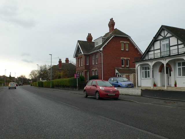
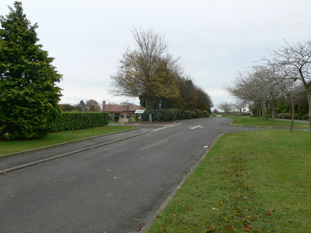
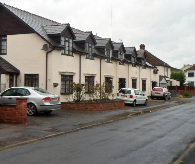
Ryelands is a quaint village located in the county of Herefordshire, England. Situated just three miles northeast of the city of Hereford, it is known for its picturesque countryside and rich history. The village is nestled in the Wye Valley, surrounded by rolling hills and meandering rivers, making it a popular destination for nature enthusiasts and hikers.

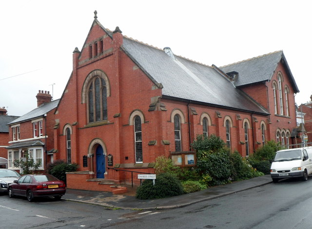
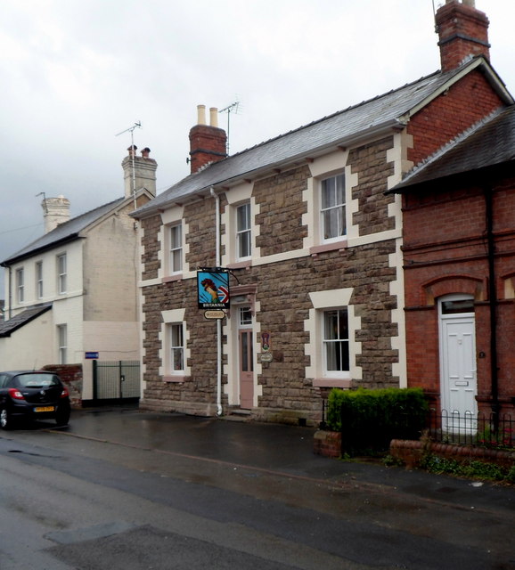
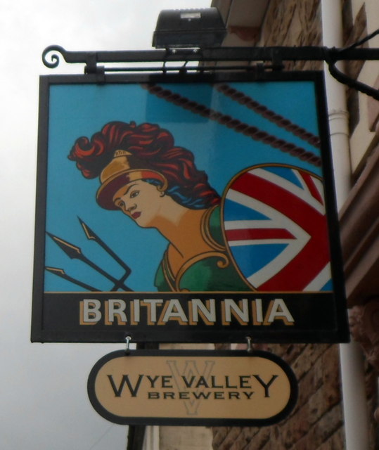
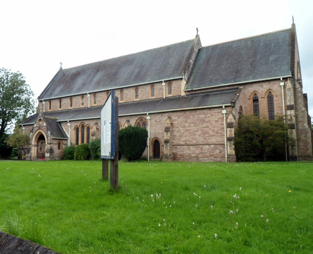
With a population of around 1,000 residents, Ryelands maintains a close-knit community atmosphere. The village boasts a range of amenities to cater to its residents' needs, including a local post office, village hall, and a handful of shops and pubs. The Saint Peter's Church, dating back to the 13th century, stands as a prominent landmark, showcasing stunning architecture and historical significance.

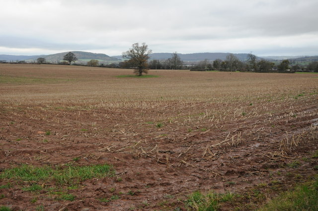
Agriculture plays a significant role in the local economy, with many farms surrounding the village producing crops, cattle, and sheep. The fertile soil and favorable climate of Herefordshire contribute to the success of the agricultural sector in Ryelands.

The village also offers easy access to the nearby city of Hereford, which provides additional amenities and services such as schools, hospitals, and a wider range of shopping and recreational activities. The transport links to Ryelands are well-developed, with regular bus services connecting the village to surrounding areas.

Overall, Ryelands, Herefordshire offers a tranquil and idyllic setting for residents and visitors alike, with its natural beauty, historical charm, and strong sense of community.

If you have any feedback on the listing, please let us know in the comments section below.
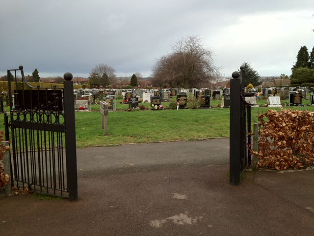
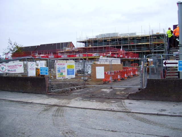
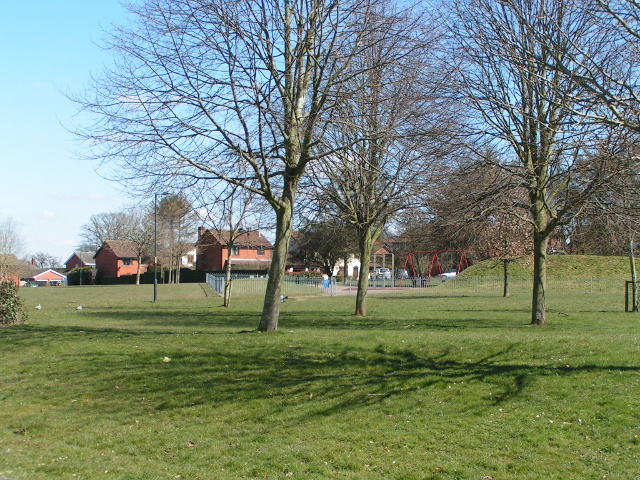
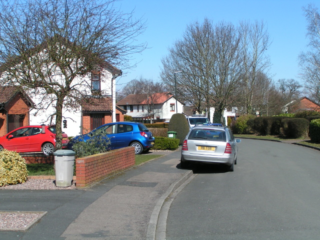
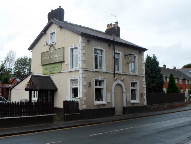
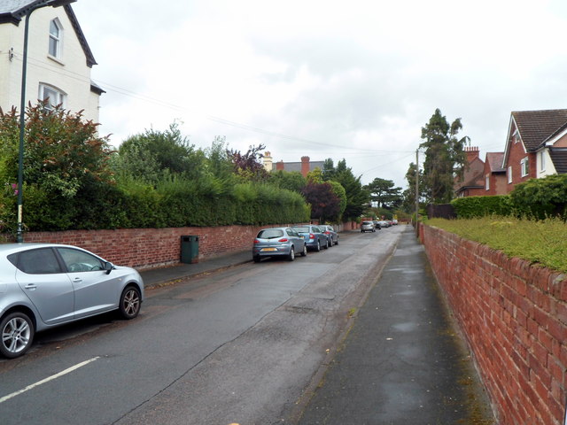
Ryelands Images

Images are sourced within 2km of 52.056134/-2.727499 or Grid Reference SO5040. Thanks to Geograph Open Source API. All images are credited.

Houses on Three Elms Road, Hereford
The road into Hereford Cemetery and Crematorium
Arable land near Lower Breinton Arable land west of Lower Hill Farm, Lower Breinton.
Arable land near Lower Breinton
Arable land west of Lower Hill Farm, Lower Breinton.
Garden of Rest, Hereford Cemetery This area for the interment of cremated remains is close to the new crematorium.
Garden of Rest, Hereford Cemetery
This area for the interment of cremated remains is close to the new crematorium.
Hereford Cemetery To the west of the city centre, off the long Westfaling Street.
Hereford Cemetery
To the west of the city centre, off the long Westfaling Street.
32 new properties off Highmore Street
Play area next to Huntsmans Drive, Hereford
Houses and cars on Huntsmans Drive, Hereford
White Horse Square houses, Hereford Viewed from the White Horse Street end.
White Horse Square houses, Hereford
Viewed from the White Horse Street end.
Chandos Street Methodist Church, Hereford On the corner of Chandos Street and White Horse Street.
Chandos Street Methodist Church, Hereford
On the corner of Chandos Street and White Horse Street.
Jubilee Almshouses, Hereford Late Victorian almshouses on the corner of Chandos Street and White Horse Street, opposite Chandos Street Methodist Church. <a title="https://www.geograph.org.uk/photo/3524955" href="https://www.geograph.org.uk/photo/3524955">Link</a>
A tablet <a title="https://www.geograph.org.uk/photo/3525031" href="https://www.geograph.org.uk/photo/3525031">Link</a> depicting stag and verderers shows the year 1887, the Golden Jubilee of Queen Victoria.
Jubilee Almshouses, Hereford
Late Victorian almshouses on the corner of Chandos Street and White Horse Street, opposite Chandos Street Methodist Church. Link A tablet Link depicting stag and verderers shows the year 1887, the Golden Jubilee of Queen Victoria.
Jubilee Almshouses tablet, Hereford The tablet is on the White Horse Street side of the almshouses. <a title="https://www.geograph.org.uk/photo/3525023" href="https://www.geograph.org.uk/photo/3525023">Link</a>
Jubilee Almshouses tablet, Hereford
The tablet is on the White Horse Street side of the almshouses. Link
Britannia pub, Hereford Wye Valley Brewery pub in Cotterell Street. <a title="https://www.geograph.org.uk/photo/3525068" href="https://www.geograph.org.uk/photo/3525068">Link</a> to a closeup of the pub sign.
Britannia pub, Hereford
Wye Valley Brewery pub in Cotterell Street. Link to a closeup of the pub sign.
Britannia pub sign, Hereford Hanging above the pub entrance here. <a title="https://www.geograph.org.uk/photo/3525063" href="https://www.geograph.org.uk/photo/3525063">Link</a>
Britannia pub sign, Hereford
Hanging above the pub entrance here. Link
Hereford Musical Theatre Company This is the Whitecross Road theatre & clubroom of Hereford Musical Theatre Company which was founded in 1898 as Hereford Amateur Operatic Society.
Hereford Musical Theatre Company
This is the Whitecross Road theatre & clubroom of Hereford Musical Theatre Company which was founded in 1898 as Hereford Amateur Operatic Society.
Holy Trinity Parish Church, Hereford The Anglican church on the north side of Whitecross Road serves a large parish in the west of Hereford. The first foundation stone for the church was laid in 1884.  Today, the building is used for a wide range of activities, religious and secular, including concerts and exhibitions.
Holy Trinity Parish Church, Hereford
The Anglican church on the north side of Whitecross Road serves a large parish in the west of Hereford. The first foundation stone for the church was laid in 1884. Today, the building is used for a wide range of activities, religious and secular, including concerts and exhibitions.
The Buckingham of Hereford The name on the side wall of the pub at 141 Whitecross Road Hereford is The Buckingham of Hereford.
The Buckingham of Hereford
The name on the side wall of the pub at 141 Whitecross Road Hereford is The Buckingham of Hereford.
Baggallay Street, Hereford A side street viewed from the Whitecross Road end. My guess on seeing the unusual street name that perhaps it was a Hereford version of back alley was fanciful. The street is probably named after Sir Richard Baggallay (1816–1888), who was Member of Parliament for Hereford from 1865 to 1868.
Baggallay Street, Hereford
A side street viewed from the Whitecross Road end. My guess on seeing the unusual street name that perhaps it was a Hereford version of back alley was fanciful. The street is probably named after Sir Richard Baggallay (1816–1888), who was Member of Parliament for Hereford from 1865 to 1868.
Show me another place!

Ryelands is located at Grid Ref: SO5040 (Lat: 52.056134, Lng: -2.727499)

Unitary Authority: County of Herefordshire

Police Authority: West Merica

What 3 Words

///minds.exist.beard. Near Hereford, Herefordshire

Related Wikis

Cider Museum, Hereford

The Cider Museum is a museum in Hereford, England, about the history of cider. The museum was set up as a Trust in the 1970s by Bertram Bulmer, Norman...

Hereford Barton railway station

Hereford Barton railway station was a station in Hereford, Herefordshire, England. == History == The station was opened on 2 January 1854 and closed on...

Hereford Moorfields railway station

Hereford Moorfields railway station was a station in Hereford, Herefordshire, England. The station was opened in 1863 and closed in 1874. The station handled...

Victoria Eye Hospital

The Victoria Eye Hospital was a health facility located on Eign Street in Hereford, England. The main building has since been converted into apartments...

Hereford Rowing Club

Hereford Rowing Club is a rowing club on the River Wye, based at 37 Greyfriars Avenue, Hereford, Herefordshire. == History == The club was founded in 1859...

Sunshine Radio (FM)

Sunshine Radio is an Independent Local Radio station which broadcasts to Herefordshire and Monmouthshire, areas of the West Midlands and South Wales respectively...

Battle of Hereford

The Battle of Hereford was fought in 760 at Hereford (in what is now Herefordshire, England). The conflict followed decades of hostility between the Welsh...

Hereford Museum and Art Gallery

The Hereford Museum and Art Gallery is a museum and art gallery located in the cathedral city of Hereford, Herefordshire, England.Opened in 1874, through...

Related Videos

Day Trip To Hereford - 4K DJI Mini 3 Pro Drone & Walking Tour 2023.

Lovely day for a trip out so decided to go to Hereford and I must say it's a beautiful part of the country without a doubt. I started my ...

Nearby Amenities

Located within 500m of 52.056134,-2.727499
Traffic Signals
Lanes: 4
Lanes Backward: 1
Lanes Forward: 3
Lat/Long: 52.0571446/-2.7243369
Mini Roundabout
Direction: clockwise
Lat/Long: 52.0561437/-2.7275155
Traffic Signals
Lat/Long: 52.0568224/-2.7204642
Crossing
Crossing: traffic_signals
Lat/Long: 52.0562432/-2.7244
Mini Roundabout
Direction: clockwise
Lat/Long: 52.0565229/-2.7244929
Mini Roundabout
Direction: clockwise
Lat/Long: 52.0550585/-2.726078
Crossing
Crossing: uncontrolled
Crossing Ref: zebra
Lat/Long: 52.0550965/-2.7257554
Turning Circle
Source: Bing
Lat/Long: 52.0547877/-2.7344146
Turning Circle
Lat/Long: 52.0546071/-2.7330128
Bus Stop
Sainsbury's
Bus: yes
Naptan AtcoCode: 2090A151000
Naptan Bearing: N
Naptan CommonName: Sainsbury's
Naptan Indicator: bus layby
Naptan Landmark: Sainsbury's
Naptan NaptanCode: heragjpt
Naptan PlusbusZoneRef: HEREFRD
Naptan Street: Barton Yard
Naptan Verified: no
Public Transport: platform
Source: naptan_import
Lat/Long: 52.0552039/-2.724225
Bus Stop
Victoria Court
Alt Name: Victoria Eye Hospital
Bench: no
Bin: yes
Bus: yes
Mapillary: 461310914946494
Naptan AltCommonName: Victoria Eye Hospital
Naptan AltStreet: Not Specified
Naptan AtcoCode: 2090A18806
Naptan Bearing: W
Naptan CommonName: Victoria Court
Naptan Indicator: adj
Naptan Landmark: opp Horse and Groom PH
Naptan NaptanCode: herajdta
Naptan PlusbusZoneRef: HEREFRD
Naptan Street: Eign Street
Naptan Verified: no
Public Transport: platform
Shelter: yes
Source: naptan_import
Survey Date: 2020-10-15
Lat/Long: 52.0569114/-2.7232556
Bus Stop
Victoria Court
Alt Name: Victoria Eye Hospital
Bench: no
Bin: no
Bus: yes
Mapillary: 156872283062633
Naptan AltCommonName: Victoria Eye Hospital
Naptan AltStreet: Not Specified
Naptan AtcoCode: 2090A18808
Naptan Bearing: E
Naptan CommonName: Victoria Court
Naptan Indicator: opp
Naptan Landmark: opp Sainsburys
Naptan NaptanCode: herajdtd
Naptan PlusbusZoneRef: HEREFRD
Naptan Street: Eign Street
Naptan Verified: no
Public Transport: platform
Shelter: no
Source: naptan_import
Survey Date: 2020-10-15
Lat/Long: 52.0571132/-2.7233224
Bus Stop
Ryelands Street
Bench: no
Bin: no
Bus: yes
Mapillary: 196278338886402
Naptan AtcoCode: 2090A19302
Naptan Bearing: NW
Naptan CommonName: Ryelands Street
Naptan Indicator: adj
Naptan Landmark: o/s No 33 Whitecross Road
Naptan NaptanCode: herajwgt
Naptan PlusbusZoneRef: HEREFRD
Naptan Street: Whitecross Street
Naptan Verified: no
Public Transport: platform
Shelter: no
Source: naptan_import
Survey Date: 2020-10-15
Lat/Long: 52.0578931/-2.7266167
Bus Stop
Ryelands Street
Bench: no
Bin: no
Bus: yes
Mapillary: 1631417933720323
Naptan AtcoCode: 2090A19304
Naptan Bearing: SE
Naptan CommonName: Ryelands Street
Naptan Indicator: opp
Naptan Landmark: o/s No 34 Whitecross Road
Naptan NaptanCode: herajwgw
Naptan PlusbusZoneRef: HEREFRD
Naptan Street: Whitecross Road
Naptan Verified: no
Public Transport: platform
Shelter: no
Source: naptan_import
Survey Date: 2020-10-15
Lat/Long: 52.0578416/-2.7262221
Bus Stop
White Horse Street
Bench: no
Bin: no
Bus: yes
Mapillary: 4216783901717320
Naptan AtcoCode: 2090A19306
Naptan Bearing: E
Naptan CommonName: White Horse Street
Naptan Indicator: opp
Naptan Landmark: o/s Bricknell Close
Naptan NaptanCode: herajwja
Naptan PlusbusZoneRef: HEREFRD
Naptan Street: Whitecross Road
Naptan Verified: no
Public Transport: platform
Shelter: no
Source: naptan_import
Survey Date: 2020-10-15
Lat/Long: 52.0589642/-2.7301998
Bus Stop
White Horse Street
Bench: yes
Bin: yes
Mapillary: 1021510768380623
Naptan AtcoCode: 2090A19308
Naptan Bearing: W
Naptan CommonName: White Horse Street
Naptan Indicator: adj
Naptan Landmark: o/s Bruce Thomas Close
Naptan NaptanCode: herajwjd
Naptan PlusbusZoneRef: HEREFRD
Naptan Street: Whitecross Road
Naptan Verified: no
Odbl: clean
Public Transport: platform
Shelter: yes
Source: naptan_import
Survey Date: 2020-10-15
Lat/Long: 52.0588323/-2.7303393
Bus Stop
Westfaling Street
Naptan AtcoCode: 2090A19401
Naptan Bearing: SE
Naptan CommonName: Westfaling Street
Naptan Indicator: opp Cemetery
Naptan Landmark: opp Cemetery
Naptan NaptanCode: heramagw
Naptan PlusbusZoneRef: HEREFRD
Naptan Street: Westfaling Street
Naptan Verified: no
Source: naptan_import
Lat/Long: 52.0562959/-2.7348022
Bus Stop
White Horse Street top
Naptan AtcoCode: 2090A19403
Naptan Bearing: SW
Naptan CommonName: White Horse Street top
Naptan Indicator: o/s No 75/77
Naptan Landmark: o/s 75/77 White Horse Street
Naptan NaptanCode: heramaja
Naptan PlusbusZoneRef: HEREFRD
Naptan Street: White Horse Street
Naptan Verified: no
Source: naptan_import
Lat/Long: 52.0556447/-2.7325309
Bus Stop
White Horse Street top
Naptan AtcoCode: 2090A19405
Naptan Bearing: NE
Naptan CommonName: White Horse Street top
Naptan Indicator: opp No 75
Naptan Landmark: opp No 75 White Horse Street
Naptan NaptanCode: heramajd
Naptan PlusbusZoneRef: HEREFRD
Naptan Street: White Horse Street. Hereford
Naptan Verified: no
Source: naptan_import
Lat/Long: 52.0557336/-2.7326928
Bus Stop
Queens Hill Gardens
Bus: yes
Naptan AtcoCode: 2090A19407
Naptan Bearing: NE
Naptan CommonName: Queens Hill Gardens
Naptan Indicator: opp
Naptan Landmark: opp Queens Hill Gardens
Naptan NaptanCode: heramajg
Naptan PlusbusZoneRef: HEREFRD
Naptan Street: White Horse Street
Naptan Verified: no
Public Transport: platform
Source: naptan_import
Lat/Long: 52.0567187/-2.7318775
Bus Stop
Queens Hill Gardens
Naptan AtcoCode: 2090A19409
Naptan Bearing: SW
Naptan CommonName: Queens Hill Gardens
Naptan Indicator: adj
Naptan Landmark: o/s Chandos Street Methodist Chapel
Naptan NaptanCode: heramajm
Naptan PlusbusZoneRef: HEREFRD
Naptan Street: White Horse Street
Naptan Verified: no
Source: naptan_import
Lat/Long: 52.0571541/-2.7312575
Bus Stop
Post Office
Bus: yes
Naptan AtcoCode: 2090A19411
Naptan Bearing: SW
Naptan CommonName: Post Office
Naptan Indicator: opp
Naptan Landmark: opp Post Office
Naptan NaptanCode: heramajp
Naptan PlusbusZoneRef: HEREFRD
Naptan Street: White Horse Street
Naptan Verified: no
Public Transport: platform
Source: naptan_import
Lat/Long: 52.0586015/-2.7301998
Bus Stop
Post Office
Bus: yes
Naptan AtcoCode: 2090A19413
Naptan Bearing: NE
Naptan CommonName: Post Office
Naptan Indicator: adj
Naptan Landmark: Junction with Whitecross Road A438
Naptan NaptanCode: heramajt
Naptan PlusbusZoneRef: HEREFRD
Naptan Street: White Horse Street
Naptan Verified: no
Public Transport: platform
Source: naptan_import
Lat/Long: 52.0586443/-2.7304305
Post Box
Brand: Royal Mail
Collection Times: Mo-Fr 17:00; Sa 11:30
Operator: Royal Mail
Operator Wikidata: Q638098
Post Box Type: pillar
Ref: HR4 9
Royal Cypher: EIIR
Royal Cypher Wikidata: Q33102113
Lat/Long: 52.0565381/-2.7202425
Telephone
Booth: KX100
Covered: booth
Lat/Long: 52.0565886/-2.720266
Crossing
Lat/Long: 52.0560129/-2.7249895
Turning Circle
Lat/Long: 52.0571196/-2.7346083
Cafe
Sainsbury's Cafe
Lat/Long: 52.0548861/-2.7243951
Bulmer's Woodpecker Statue
Artwork Type: statue
Tourism: artwork
Lat/Long: 52.0570921/-2.7247597
Pub
Horse and Groom
Toilets: yes
Toilets Access: public
Toilets Scheme: Herefordshire Council Community Toilet Scheme
Lat/Long: 52.0570718/-2.7224378
Mini Roundabout
Lat/Long: 52.0543938/-2.7239929
Noexit: yes
Lat/Long: 52.058678/-2.7227331
Crossing
Crossing: traffic_signals
Lat/Long: 52.0569996/-2.7228285
Pub
Beer In Hand
Addr Housenumber: 136
Addr Postcode: HR4 0AP
Addr Street: Eign Street
Source: survey
Website: http://www.beerinhand.co.uk/
Lat/Long: 52.0569815/-2.7217152
Traffic Signals
Lat/Long: 52.0565255/-2.7206467
Entrance: main
Lat/Long: 52.0559958/-2.7263536
Spa Motors
Shop: car
Lat/Long: 52.0570954/-2.7211863
Restaurant
Razzbari
Cuisine: indian
Lat/Long: 52.0571962/-2.723409
Timpson
Brand: Timpson
Brand Wikidata: Q7807658
Opening Hours: Mo-Sa 09:00-18:00; Su 10:00-16:00
Shop: dry_cleaning
Lat/Long: 52.0549894/-2.7250597
Generator Method: photovoltaic
Generator Output Electricity: yes
Generator Source: solar
Generator Type: solar_photovoltaic_panel
Location: roof
Power: generator
Lat/Long: 52.0540137/-2.7301857
Generator Method: photovoltaic
Generator Output Electricity: yes
Generator Source: solar
Generator Type: solar_photovoltaic_panel
Location: roof
Power: generator
Lat/Long: 52.0543163/-2.7219299
Generator Method: photovoltaic
Generator Output Electricity: yes
Generator Source: solar
Generator Type: solar_photovoltaic_panel
Location: roof
Power: generator
Lat/Long: 52.0576198/-2.7293569
Generator Method: photovoltaic
Generator Output Electricity: yes
Generator Source: solar
Generator Type: solar_photovoltaic_panel
Location: roof
Power: generator
Lat/Long: 52.0575555/-2.7290967
Generator Method: photovoltaic
Generator Output Electricity: yes
Generator Source: solar
Generator Type: solar_photovoltaic_panel
Location: roof
Power: generator
Lat/Long: 52.0576215/-2.7285361
Generator Method: photovoltaic
Generator Output Electricity: yes
Generator Source: solar
Generator Type: solar_photovoltaic_panel
Location: roof
Power: generator
Lat/Long: 52.0576544/-2.7280936
Generator Method: photovoltaic
Generator Output Electricity: yes
Generator Source: solar
Generator Type: solar_photovoltaic_panel
Location: roof
Power: generator
Lat/Long: 52.0549233/-2.7271682
Generator Method: photovoltaic
Generator Output Electricity: yes
Generator Source: solar
Generator Type: solar_photovoltaic_panel
Location: roof
Power: generator
Lat/Long: 52.0547847/-2.7294159
Generator Method: photovoltaic
Generator Output Electricity: yes
Generator Source: solar
Generator Type: solar_photovoltaic_panel
Location: roof
Power: generator
Lat/Long: 52.0532129/-2.7320176
Generator Method: photovoltaic
Generator Output Electricity: yes
Generator Source: solar
Generator Type: solar_photovoltaic_panel
Location: roof
Power: generator
Lat/Long: 52.0530447/-2.7325997
Generator Method: photovoltaic
Generator Output Electricity: yes
Generator Source: solar
Generator Type: solar_photovoltaic_panel
Location: roof
Power: generator
Lat/Long: 52.0545885/-2.7343646
Bicycle Rental
Brand: Beryl
Brand Wikidata: Q106575365
Capacity: 5
Name Signed: no
Network: Beryl
Network Wikidata: Q106575365
Official Name: Eign Gate
Operator: Beryl
Operator Wikidata: Q106575369
Payment App: yes
Payment App Android: cc.beryl.basis
Payment App Ios: 1386768364
Payment Cash: no
Payment Credit Cards: no
Payment Cryptocurrencies: no
Payment Debit Cards: no
Payment Electronic Purses: no
Ref Gbfs: beryl_hereford:345
Lat/Long: 52.0565834/-2.720222
Bicycle Rental
Capacity: 5
Name Signed: no
Network: Beryl - Hereford
Official Name: Tower Road
Operator: Beryl
Operator Wikidata: Q106575369
Payment App: yes
Payment App Android: cc.beryl.basis
Payment App Ios: 1386768364
Payment Cash: no
Payment Credit Cards: no
Payment Cryptocurrencies: no
Payment Debit Cards: no
Payment Electronic Purses: no
Ref Gbfs: beryl_hereford:2261
Lat/Long: 52.0538406/-2.7313371
Bicycle Rental
Capacity: 8
Name Signed: no
Network: Beryl - Hereford
Official Name: Herefordshire Council
Operator: Beryl
Operator Wikidata: Q106575369
Payment App: yes
Payment App Android: cc.beryl.basis
Payment App Ios: 1386768364
Payment Cash: no
Payment Credit Cards: no
Payment Cryptocurrencies: no
Payment Debit Cards: no
Payment Electronic Purses: no
Ref Gbfs: beryl_hereford:344
Lat/Long: 52.0598145/-2.72686
Bicycle Rental
Brand: Beryl
Brand Wikidata: Q106575365
Capacity: 5
Name Signed: no
Network: Beryl
Network Wikidata: Q106575365
Official Name: Eign Street
Operator: Beryl
Operator Wikidata: Q106575369
Payment App: yes
Payment App Android: cc.beryl.basis
Payment App Ios: 1386768364
Payment Cash: no
Payment Credit Cards: no
Payment Cryptocurrencies: no
Payment Debit Cards: no
Payment Electronic Purses: no
Ref Gbfs: beryl_hereford:2278
Lat/Long: 52.0569153/-2.7234089
Post Box
Lat/Long: 52.053759/-2.7235249
Noexit: yes
Lat/Long: 52.058784/-2.7222428
Removed Amenity: post_box
Lat/Long: 52.0571792/-2.7225347
Barrier: bollard
Lat/Long: 52.0575299/-2.7205419
Addr Housenumber: 19
Addr Street: Barton Road
Entrance: yes
Lat/Long: 52.0537753/-2.7221849
Holly Tree Guest House
Addr Housenumber: 21
Addr Street: Barton Road
Entrance: main
Guest House: bed_and_breakfast
Phone: +44 1432 357845
Tourism: guest_house
Lat/Long: 52.0537763/-2.7222681
Entrance: main
Lat/Long: 52.0558505/-2.7259326
Barrier: lift_gate
Source: Bing
Lat/Long: 52.0556065/-2.7241357
Addr Housenumber: 5
Lat/Long: 52.0581423/-2.7212056
Addr Housenumber: 1
Addr Street: Fraser Court
Lat/Long: 52.0579287/-2.7211573
Addr Housenumber: 3
Addr Street: Fraser Court
Lat/Long: 52.0580508/-2.721097
Addr Housenumber: 2
Addr Street: Fraser Court
Lat/Long: 52.0579956/-2.7211265
Addr Housenumber: 4
Lat/Long: 52.0581003/-2.7211251
Indycube Hereford
Addr City: Hereford
Addr Housename: Unit 1
Addr Housenumber: 2
Addr Postcode: HR4 0EH
Addr Street: Harrow Road
Email: hello@indycube.community
Internet Access: yes
Internet Access Fee: customers
Name Cy: Indycube Henffordd
Office: coworking
Opening Hours: Mo-Fr 09:00-18:00; Sa-Su 10:00-17:00
Operator: Indycube
Phone: +44 2921 690 023
Website: https://www.indycube.community/zoo-zoo/item/3-2-harrow-rd-hr4-0eh
Lat/Long: 52.0599026/-2.7288501
Community Centre
Hereford Make
Addr City: Hereford
Addr Housename: Unit 1
Addr Housenumber: 2
Addr Postcode: HR4 0EH
Addr Street: Harrow Road
Email: herefordmake@outlook.com
Opening Hours: Mo-Fr 09:00-18:00; Sa-Su 10:00-17:00
Phone: +44 1432 271 255
Website: https://www.herefordmake.com
Lat/Long: 52.0601875/-2.7287475
Moorfields
Historic Railway: station
Railway: site
Wikidata: Q29379191
Wikipedia: en:Hereford Moorfields railway station
Lat/Long: 52.0577565/-2.7242013
Barton Junction
Historic Railway: junction
Railway: site
Lat/Long: 52.0577694/-2.7235981
Hereford Barton
Historic Railway: station
Railway: site
Wikidata: Q29379045
Wikipedia: en:Hereford Barton railway station
Lat/Long: 52.0562696/-2.724702
Telephone
Booth: KX100
Covered: booth
Lat/Long: 52.0565684/-2.7202554
Bicycle Parking
Bicycle Parking: stands
Covered: no
Lat/Long: 52.0566228/-2.7202934
Traffic Signals
Traffic Signals: signal
Lat/Long: 52.0568046/-2.7208049
Addr Housenumber: 1
Lat/Long: 52.0568404/-2.7219602
Addr Housenumber: 5
Lat/Long: 52.0566282/-2.7218841
The data included in this document is from www.openstreetmap.org. The data is made available under ODbL.

Have you been to Ryelands?

Leave your review of Ryelands below (or comments, questions and feedback).