The Grove

Wood, Forest in Hampshire Winchester

England

The Grove

Decaying pavilion Former pavilion by the recreation ground, labelled "Danger - unsafe structure".
Decaying pavilion Credit: David Martin

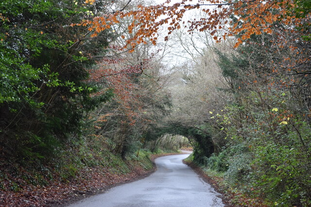
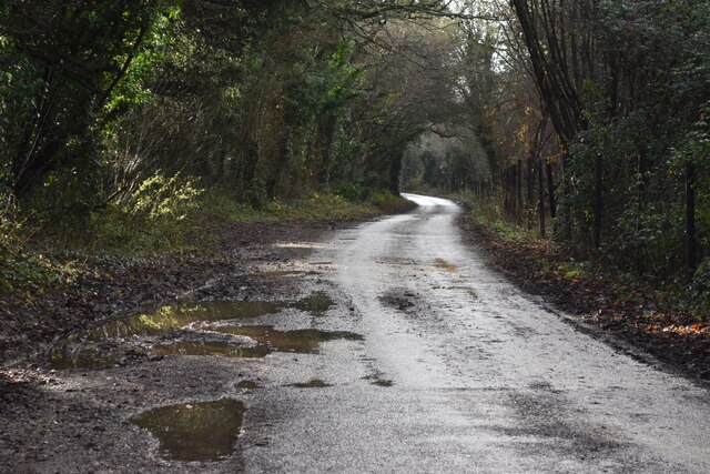
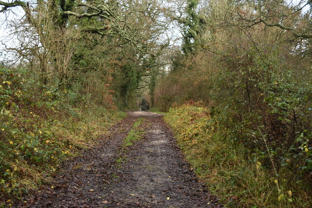
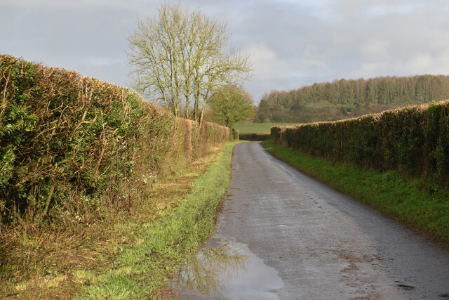
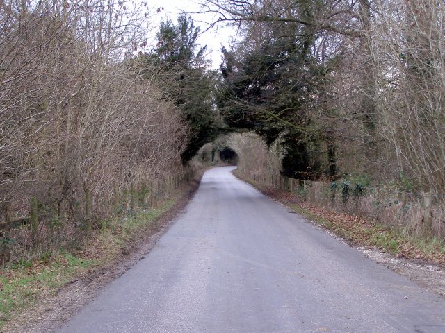
The Grove is a picturesque woodland area located in Hampshire, England. Spanning over acres of land, it is a popular destination for nature lovers, hikers, and outdoor enthusiasts. The Grove is characterized by its dense forest, lush greenery, and tranquil atmosphere, offering visitors a peaceful retreat away from the hustle and bustle of city life.

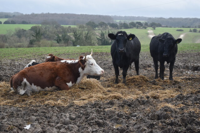
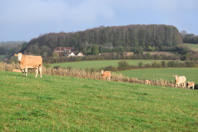
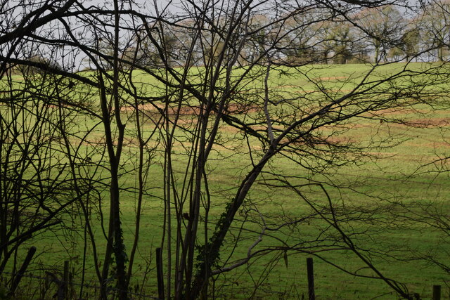
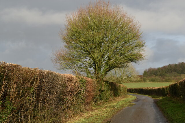
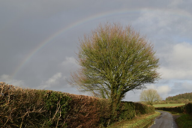
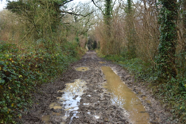
The woodland is home to a diverse range of flora and fauna, with towering trees, wildflowers, and various species of birds and animals. Visitors can explore the numerous walking trails that wind through the forest, offering breathtaking views and opportunities for wildlife spotting. The Grove is also known for its old-growth trees, some of which are several hundred years old, adding a sense of history and grandeur to the landscape.

In addition to its natural beauty, The Grove offers a range of recreational activities for visitors to enjoy. There are designated picnic areas where families and friends can gather for a leisurely lunch amidst the stunning surroundings. The forest also features a well-maintained children's play area, providing entertainment for younger visitors.

The Grove is easily accessible, with ample parking facilities and well-marked paths. It is a popular spot for both locals and tourists, attracting visitors throughout the year. Whether it's a peaceful stroll, a family outing, or a chance to connect with nature, The Grove offers a serene and captivating experience for all who visit.

If you have any feedback on the listing, please let us know in the comments section below.
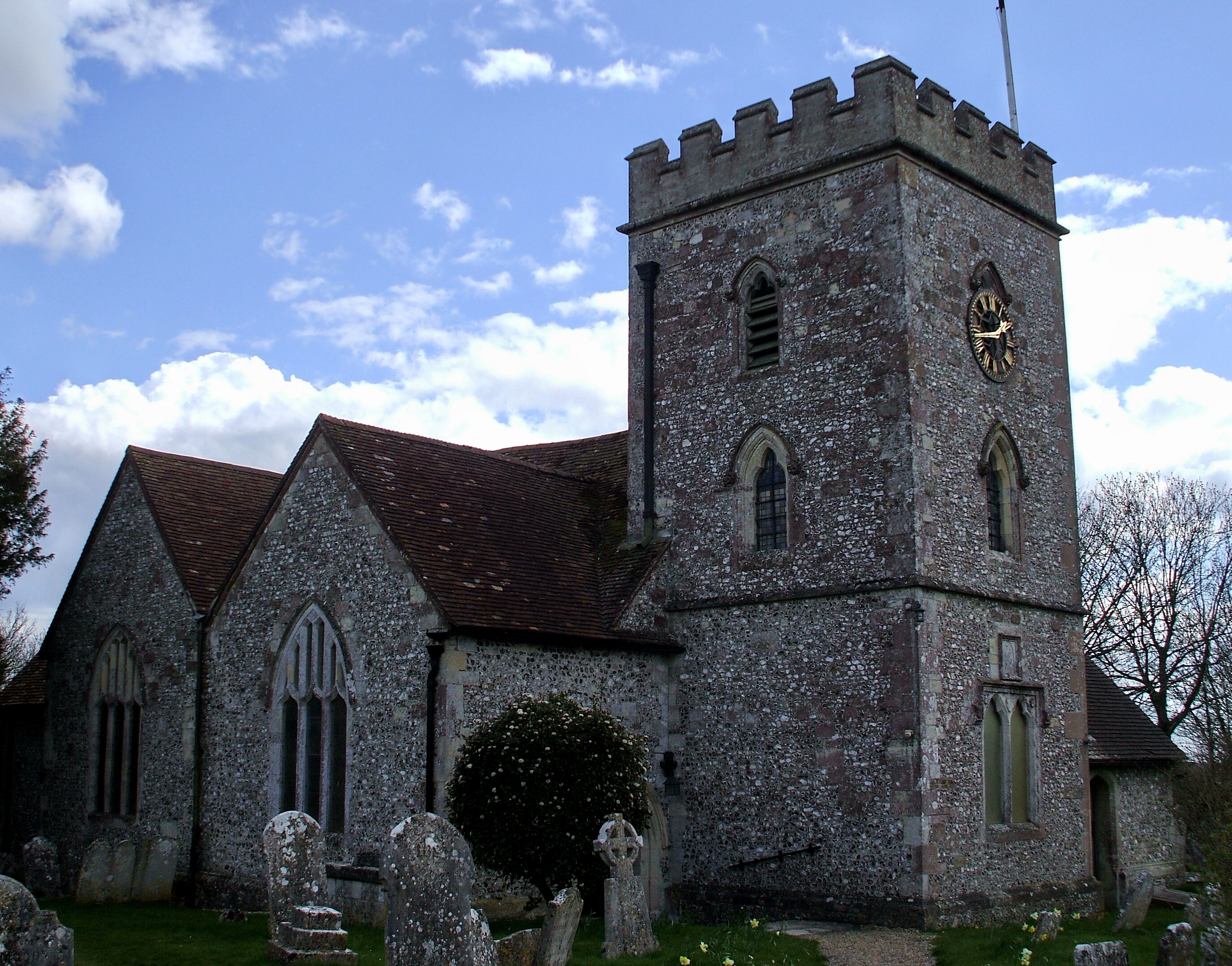
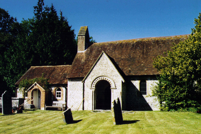
The Grove Images

Images are sourced within 2km of 51.010791/-1.2689676 or Grid Reference SU5123. Thanks to Geograph Open Source API. All images are credited.

Decaying pavilion Former pavilion by the recreation ground, labelled "Danger - unsafe structure".
Decaying pavilion
Former pavilion by the recreation ground, labelled "Danger - unsafe structure".
St. Andrew's Church, Owslebury
Former telephone kiosk in Beech Grove Now a book exchange.
Former telephone kiosk in Beech Grove
Now a book exchange.
Metal seat and table at Owslebury
Descending Owslebury Bottom
Cows beside the path at Owslebury
Corner of field below Bottom Farm
Sloping fields above Lower Baybridge Lane A close look reveals the end of a rainbow towards the right hand side.
Sloping fields above Lower Baybridge Lane
A close look reveals the end of a rainbow towards the right hand side.
Cows in field above Lower Baybridge Lane
Lower Baybridge Lane
Sunlit field seen through bushes beside Lower Baybridge Lane
Red Lane
Red Lane
Lower Baybridge Lane
Tree beside Lower Baybridge Lane
Rainbow and tree, Lower Baybridge Lane
A very muddy Red Lane
Buildings at Lower Whiteflood Farm
Agricultural contractor's yard Aerial. This 0.47 acre agricultural contractor's yard was offered for sale in 2022 at an asking price of £100,000 and apparently sold above that. There was some possibility that planning permission for housing might be granted. The car park at right is part of the unrelated Ship Inn.
Agricultural contractor's yard
Aerial. This 0.47 acre agricultural contractor's yard was offered for sale in 2022 at an asking price of £100,000 and apparently sold above that. There was some possibility that planning permission for housing might be granted. The car park at right is part of the unrelated Ship Inn.
Show me another place!

The Grove is located at Grid Ref: SU5123 (Lat: 51.010791, Lng: -1.2689676)

Administrative County: Hampshire

District: Winchester

Police Authority: Hampshire

What 3 Words

///stress.waters.crumple. Near Colden Common, Hampshire

Nearby Locations

The Grove Owslebury

Related Wikis

Owslebury

Owslebury is a village and civil parish in the county of Hampshire, in the south of England approximately 5 miles (8.0 km) southeast of Winchester. It...

Owslebury Bottom

Owslebury Bottom is a hamlet in the civil parish of Owslebury in the City of Winchester district of Hampshire, England. Its nearest town is Winchester...

Morestead

Morestead is a village and former civil parish, now in the parish of Owslebury, in the Winchester district, in Hampshire, England. It is in the South Downs...

Baybridge, Hampshire

Baybridge is a small village in Hampshire, in England. It is situated to the east of Owslebury, south of Winchester. == References == == External links... ==

Nearby Amenities

Located within 500m of 51.010791,-1.2689676
Owslebury
Place: village
Lat/Long: 51.0081634/-1.2674491
Barrier: kissing_gate
Foot: yes
Lat/Long: 51.0091268/-1.2711011
Barrier: kissing_gate
Lat/Long: 51.0069585/-1.2663978
Bus Stop
Gorse Down
Bus: yes
Naptan AtcoCode: 1900HA110492
Naptan Bearing: SW
Naptan CommonName: Gorse Down
Naptan NaptanCode: hamdmdtg
Naptan Street: Main Road
Naptan Verified: no
Public Transport: platform
Source: naptan_import
Lat/Long: 51.0099883/-1.2637934
Bus Stop
Beech Grove
Bus: yes
Naptan AtcoCode: 1900HA110493
Naptan Bearing: E
Naptan CommonName: Beech Grove
Naptan Crossing: Hilly Close
Naptan NaptanCode: hamdmdjg
Naptan Street: Main Road
Naptan Verified: no
Public Transport: platform
Source: naptan_import
Lat/Long: 51.0091933/-1.2660724
Bus Stop
Owslebury Church
Bus: yes
Naptan AtcoCode: 1900HA110494
Naptan Bearing: SW
Naptan CommonName: Owslebury Church
Naptan NaptanCode: hamdmatm
Naptan Street: Main Road
Naptan Verified: no
Public Transport: platform
Source: naptan_import
Lat/Long: 51.0078478/-1.2680607
Bus Stop
Owslebury Church
Bus: yes
Naptan AtcoCode: 1900HA110495
Naptan Bearing: NE
Naptan CommonName: Owslebury Church
Naptan NaptanCode: hamdmatg
Naptan Street: Main Road
Naptan Verified: no
Public Transport: platform
Source: naptan_import
Lat/Long: 51.0079024/-1.2681596
Bus Stop
Owslebury Ship Inn
Bus: yes
Naptan AtcoCode: 1900HA110496
Naptan Bearing: S
Naptan CommonName: Owslebury Ship Inn
Naptan Crossing: Whites Hill
Naptan NaptanCode: hamdmagt
Naptan Street: Main Road
Naptan Verified: no
Public Transport: platform
Source: naptan_import
Lat/Long: 51.0067146/-1.2717804
Power: tower
Ref: PK 103
Source: bing
Source Ref: extrapolation
Lat/Long: 51.0134748/-1.2687623
Power: tower
Ref: PK 102
Source: bing
Source Ref: extrapolation
Lat/Long: 51.0120489/-1.2726871
Power: tower
Ref: PK 101
Source: bing
Source Ref: extrapolation
Lat/Long: 51.0108484/-1.2759905
Barrier: kissing_gate
Lat/Long: 51.0068471/-1.2678782
Give Way
Source: Hampshire-Aerial-FCIR
Lat/Long: 51.0066737/-1.2715655
Barrier: kissing_gate
Bicycle: no
Foot: yes
Lat/Long: 51.0085402/-1.2691451
Barrier: kissing_gate
Lat/Long: 51.0120441/-1.266073
Give Way
Source: Hampshire-Aerial-FCIR
Lat/Long: 51.006806/-1.2717563
Post Box
Brand: Royal Mail
Brand Wikidata: Q638098
Brand Wikipedia: en:Royal Mail
Collection Plate: CP1
Collection Times: Mo-Fr 16:00; Sa 09:00
Collection Times Checked: 2020-01-12
Operator: Royal Mail
Operator Wikidata: Q638098
Post Box Type: wall
Ref: SO21 94
Royal Cypher: EIIR
Royal Cypher Wikidata: Q33102113
Lat/Long: 51.0084722/-1.2671715
Pub
Ship Inn
Wikidata: Q26450921
Lat/Long: 51.0069101/-1.2719167
Ele: 112
Source: Spot point - height from OS 6" / 19th C rounded to nearest metre
Lat/Long: 51.0084066/-1.2672867
Tourism: picnic_site
Lat/Long: 51.0077543/-1.2681015
Post Office
Owslebury Post Office
Addr City: Winchester
Addr Country: GB
Addr Postcode: SO21 1LU
Addr Street: Main Road
Addr Village: Owslebury
Brand: Post Office
Brand Wikidata: Q1783168
Opening Hours: Mo,Th 09:00-13:00
Ref Pol Id: 179228
Website: https://www.postoffice.co.uk/branch-finder/0374725/owslebury
Wheelchair: yes
Lat/Long: 51.0086751/-1.2674832
Give Way
Source: Hampshire-Aerial-FCIR
Lat/Long: 51.0067723/-1.2714636
Give Way
Source: Hampshire-Aerial-FCIR
Lat/Long: 51.0068562/-1.2715644
Give Way
Source: Hampshire-Aerial-FCIR
Lat/Long: 51.006957/-1.2712675
Public Bookcase
Booth: K6
Colour: red
Disused Amenity: telephone
Man Made: telephone_box
Public Bookcase Type: phone_box
Lat/Long: 51.0096636/-1.2671719
Leisure: playground
Lat/Long: 51.01018/-1.2658791
Power: pole
Lat/Long: 51.0123543/-1.2633132
Power: pole
Lat/Long: 51.0128595/-1.2641669
Power: pole
Lat/Long: 51.0133582/-1.2650288
Power: pole
Lat/Long: 51.0135884/-1.2654333
Man Made: mast
Tower Type: communication
Lat/Long: 51.0071525/-1.2704947
Drinking Water
Access: yes
Lat/Long: 51.0076945/-1.2672626
The data included in this document is from www.openstreetmap.org. The data is made available under ODbL.

Have you been to The Grove?

Leave your review of The Grove below (or comments, questions and feedback).