Spring Hill
Hill, Mountain in Hampshire
England
Spring Hill

Spring Hill is a prominent natural landmark located in Hampshire, a county in the southern part of England. It is situated near the village of Kingsclere, approximately 65 miles southwest of London. Despite its name, Spring Hill is not a traditional hill but rather a mountain, standing at an impressive height of 524 feet (160 meters) above sea level.
The mountain is renowned for its breathtaking panoramic views of the surrounding countryside. On a clear day, visitors can see as far as the North Wessex Downs and the picturesque Hampshire Downs, making it a popular destination for hikers, nature enthusiasts, and photographers. The summit of Spring Hill is easily accessible via well-maintained footpaths and trails, attracting both locals and tourists alike.
The area surrounding Spring Hill is rich in biodiversity, with a diverse range of plant and animal species. The mountain is covered in lush vegetation, including oak and beech trees, providing a habitat for various bird species, such as woodpeckers and buzzards. Wildlife enthusiasts can also spot rabbits, foxes, and deer roaming the area.
The historical significance of Spring Hill is also worth noting. It is believed that the mountain served as a lookout point during ancient times, providing strategic advantages for early settlements. Today, remnants of ancient earthworks can still be found on the mountain, adding to its historical appeal.
Overall, Spring Hill in Hampshire offers a perfect blend of natural beauty, recreational opportunities, and historical significance, making it a must-visit destination for those seeking an enriching experience in the heart of the English countryside.
If you have any feedback on the listing, please let us know in the comments section below.
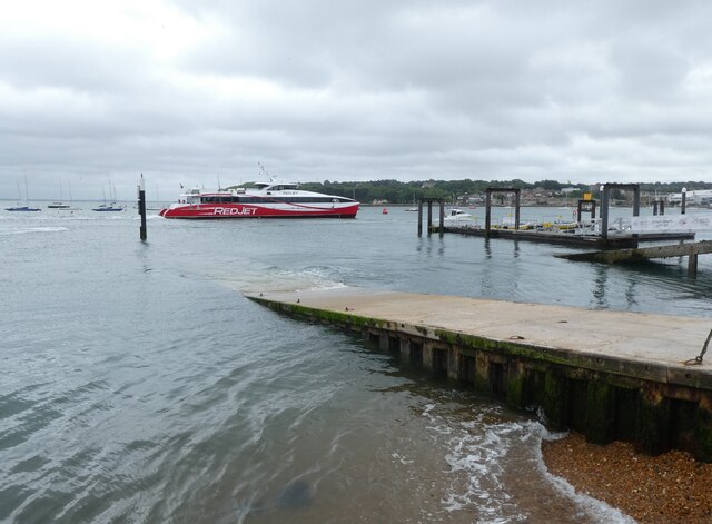
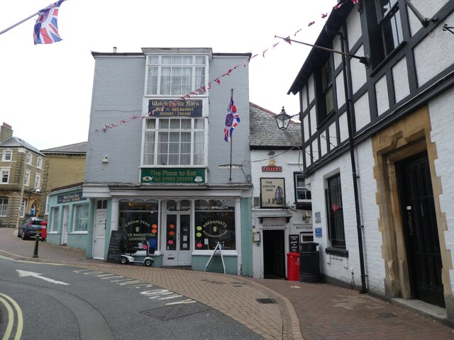
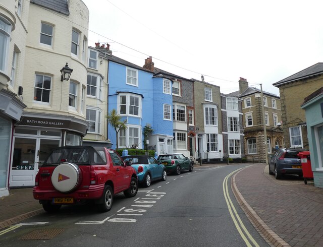
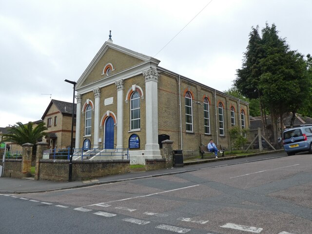
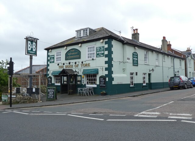
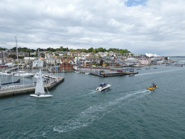
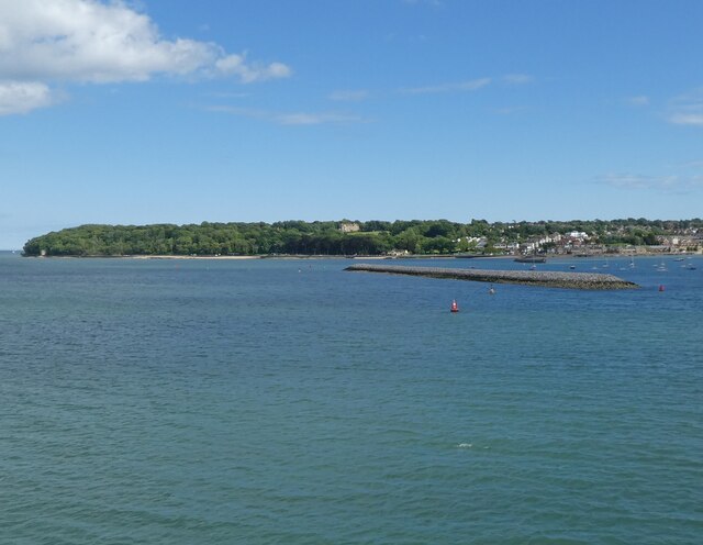
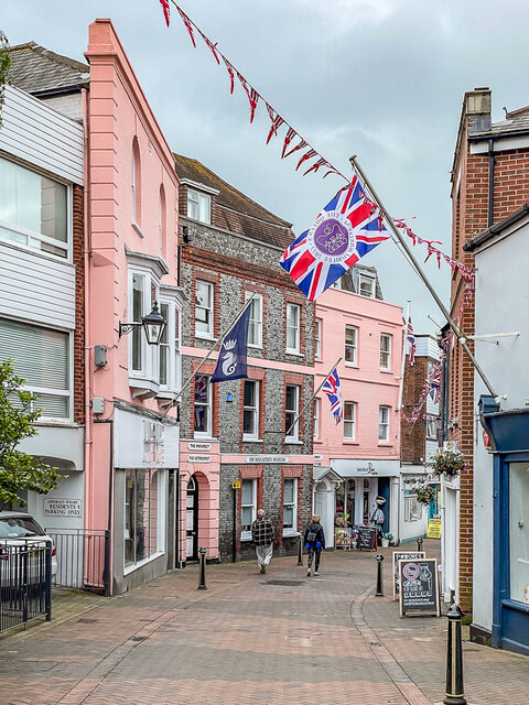
Spring Hill Images
Images are sourced within 2km of 50.763409/-1.2767696 or Grid Reference SZ5196. Thanks to Geograph Open Source API. All images are credited.


Spring Hill is located at Grid Ref: SZ5196 (Lat: 50.763409, Lng: -1.2767696)
Unitary Authority: Isle of Wight
Police Authority: Hampshire
What 3 Words
///vibrate.lightens.passports. Near East Cowes, Isle of Wight
Nearby Locations
Related Wikis

Norris Castle
Norris Castle is located on the Isle of Wight. It was designed by James Wyatt for Lord Henry Seymour. The estate adjoins Osborne House, country home to...

East Cowes Castle
East Cowes Castle, located in East Cowes, was the home of architect John Nash between its completion and his death in 1835. Nash himself was the designer...
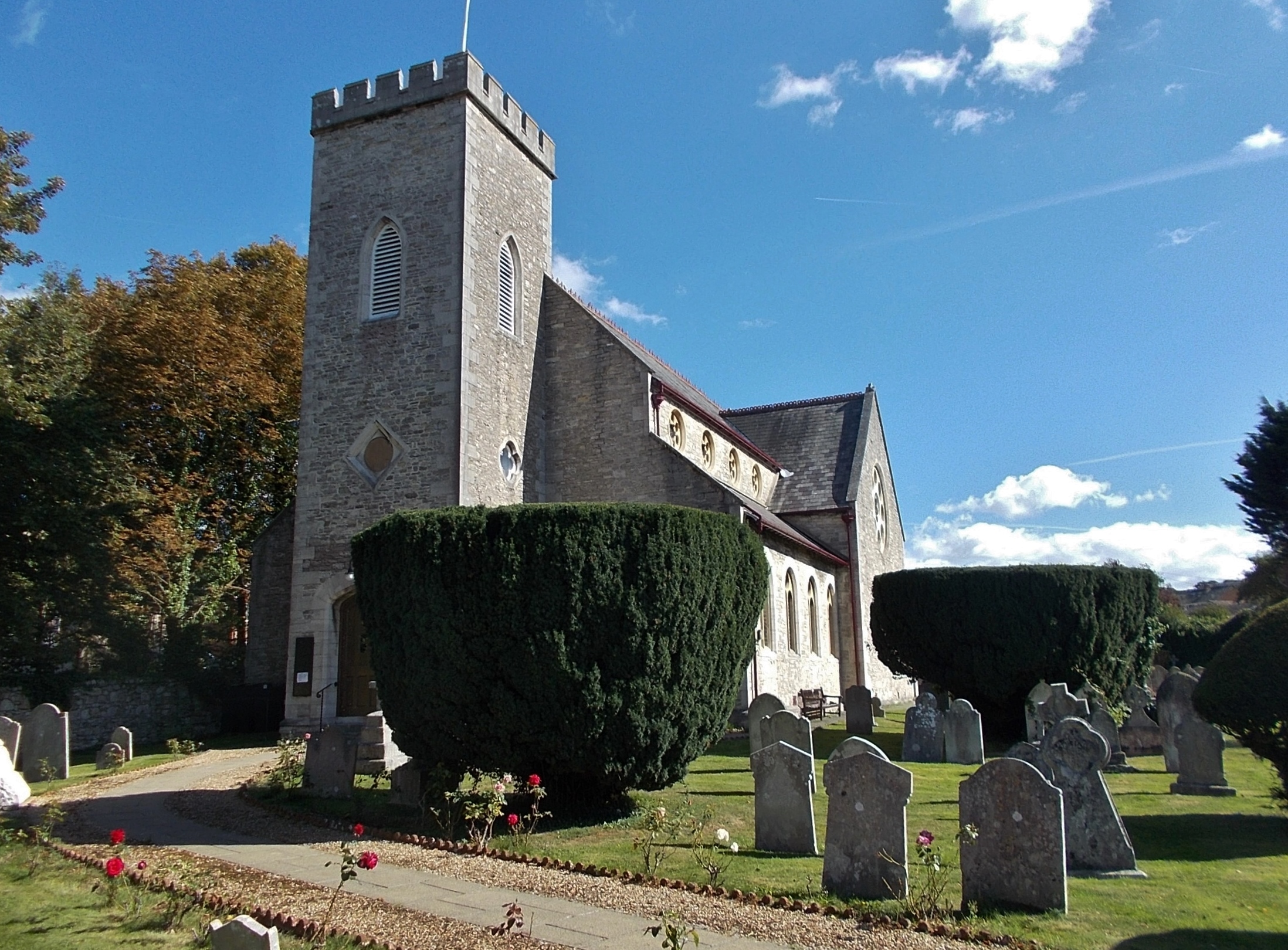
St James's Church, East Cowes
St James's Church, East Cowes is the Church of England parish church of East Cowes, Isle of Wight. == History == The church was built in 1831 by the architect...
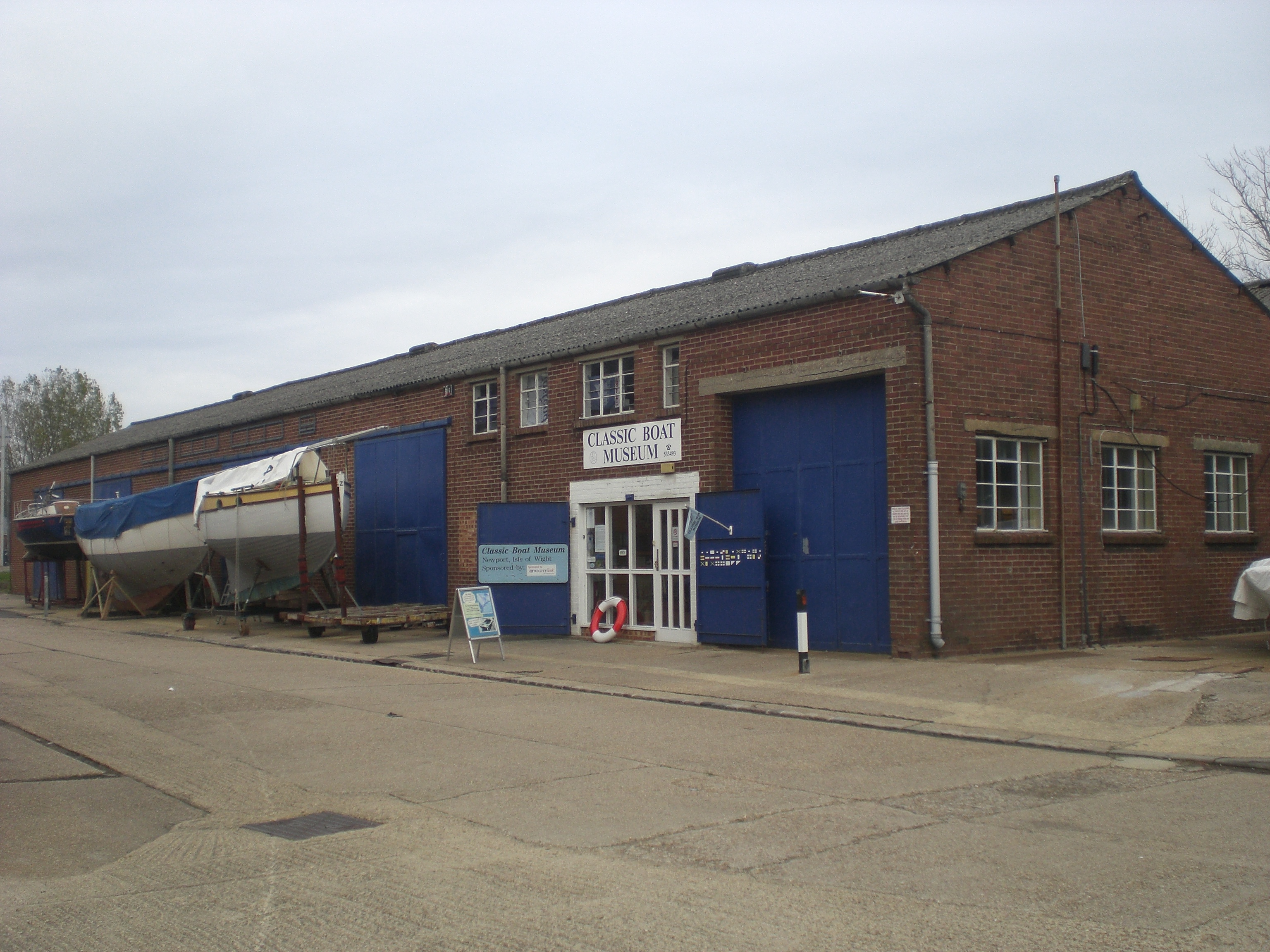
Classic Boat Museum
The Classic Boat Museum is a museum of boats and of the history of yachting and boating. It is located on the Isle of Wight at two separate sites on either...

Wight Shipyard
The Wight Shipyard is a shipbuilding company and shipyard based in East Cowes on the Isle of Wight in the UK, with their facilities occupying and including...

East Cowes
East Cowes is a town and civil parish in the north of the Isle of Wight, on the east bank of the River Medina, next to its west bank neighbour Cowes. It...

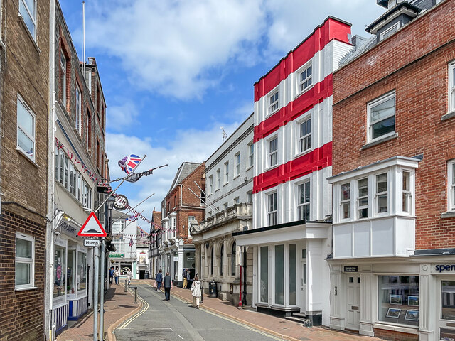
East Cowes Town Hall
East Cowes Town Hall is a municipal building in York Avenue, East Cowes, Isle of Wight, England. The structure, which is the meeting place of East Cowes...

Frank James Hospital
The Frank James Hospital is a currently closed hospital in Adelaide Grove, East Cowes on the Isle of Wight. It was sold by the NHS Trust in 2002 and since...
Nearby Amenities
Located within 500m of 50.763409,-1.2767696Have you been to Spring Hill?
Leave your review of Spring Hill below (or comments, questions and feedback).