Atli's Hill

Hill, Mountain in Shetland

Scotland

Atli's Hill

Hillside above the Loch of Kettlester
Hillside above the Loch of Kettlester Credit: Oliver Dixon

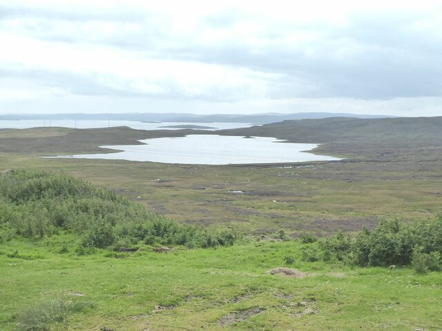
Atli's Hill is a prominent hill located in the Shetland Islands, an archipelago situated off the northeastern coast of Scotland. Rising to an elevation of approximately 221 meters (725 feet), it offers breathtaking panoramic views of the surrounding landscape. The hill is named after Atli, a legendary figure from Norse mythology, who is said to have inhabited the area centuries ago.

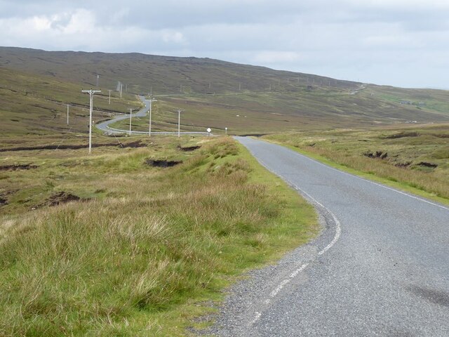
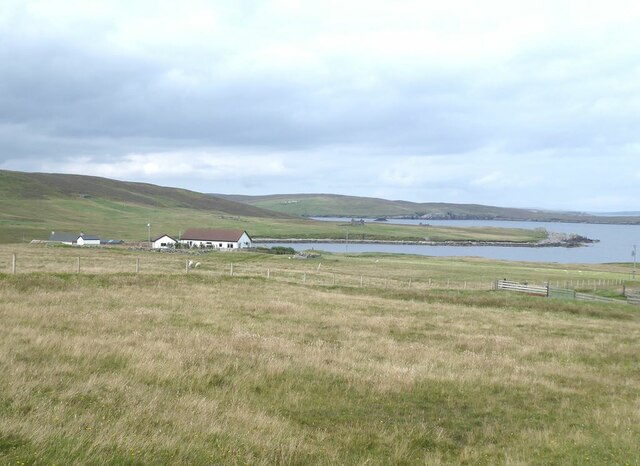
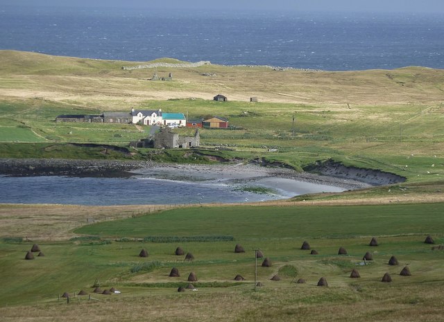
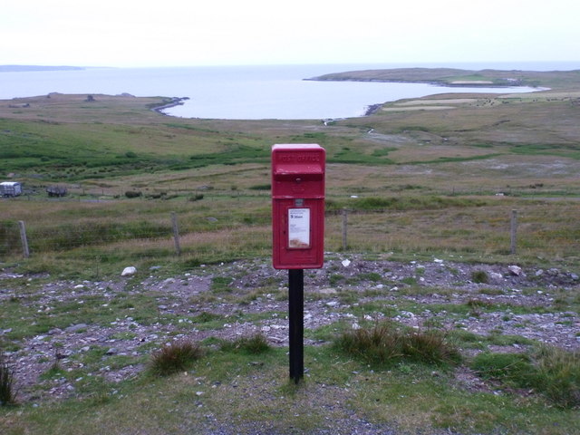
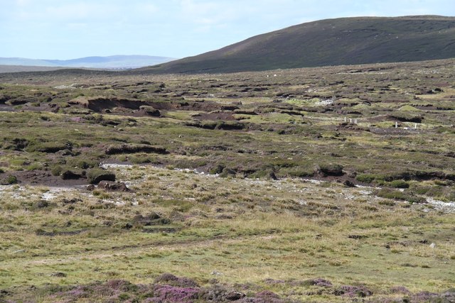
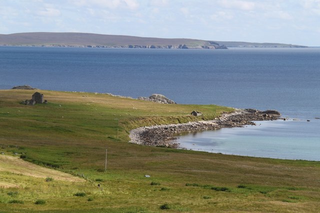
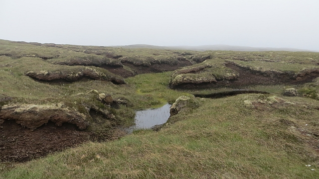
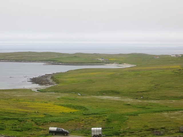
Situated in the southern part of the Shetland Mainland, Atli's Hill is a popular destination for hikers and nature enthusiasts. It boasts a well-defined path that leads visitors to the summit, making it accessible to all skill levels. The trail is surrounded by diverse flora and fauna, including heather, moss, and various bird species, providing a picturesque backdrop for outdoor enthusiasts.

At the top of the hill, visitors are rewarded with stunning vistas of the surrounding countryside, including rolling green hills, picturesque coastline, and the sparkling North Sea. On clear days, it is even possible to catch a glimpse of neighboring islands such as Whalsay and the Scottish mainland.

Aside from its natural beauty, Atli's Hill holds historical significance as well. It is believed to have been an ancient meeting place, where locals would gather for important events and gatherings. The hill's rich cultural heritage adds to its allure, attracting both locals and tourists alike.

Whether it's for a leisurely stroll or a more challenging hike, Atli's Hill offers an immersive and rewarding experience for nature lovers and history enthusiasts exploring the Shetland Islands.

If you have any feedback on the listing, please let us know in the comments section below.

Atli's Hill Images

Images are sourced within 2km of 60.526707/-1.0707878 or Grid Reference HU5182. Thanks to Geograph Open Source API. All images are credited.

Hillside above the Loch of Kettlester
Moss Houll Peat bog beside the road north of Burravoe. Loch of Kettlester <a href="https://www.geograph.org.uk/gridref/HY5180">HY5180</a> beyond.
Moss Houll
Peat bog beside the road north of Burravoe. Loch of Kettlester HY5180 beyond.
March of the poles at Moss Houll Power cables beside the road north of Burravoe.
March of the poles at Moss Houll
Power cables beside the road north of Burravoe.
Winding moorland road B9081 north of Burravoe.
Winding moorland road
B9081 north of Burravoe.
Road at Gossabrough
Road at Gossabrough
Road at Gossabrough With a glimpse of the sea beyond.
Road at Gossabrough
With a glimpse of the sea beyond.
Driveway to Gudon
Driveway to Gudon
Gudon With the Wick of Gossabrough.
Gudon
With the Wick of Gossabrough.
Small beach at Bottom On the Wick of Gossabrough.
Small beach at Bottom
On the Wick of Gossabrough.
View over Gossabrough Hay stooks dot the field in front of a bay called the Wick of Gossabrough, named after the small collection of crofts and houses that surround it. The row of buildings on the far side of the bay seems to be called "Bottom" according to the map, and I think that the ruined building in front of them is Gossabrough Haa. Beyond them, in the distance, can be seen a wall on the Ness of  Gossabrough, it is in the adjacent square to the east (as are all the building that can be seen), and runs from HU53588307 to HU53508315
View over Gossabrough
Hay stooks dot the field in front of a bay called the Wick of Gossabrough, named after the small collection of crofts and houses that surround it. The row of buildings on the far side of the bay seems to be called "Bottom" according to the map, and I think that the ruined building in front of them is Gossabrough Haa. Beyond them, in the distance, can be seen a wall on the Ness of Gossabrough, it is in the adjacent square to the east (as are all the building that can be seen), and runs from HU53588307 to HU53508315
East Yell: postbox № ZE2 38, Holligarth A small, lonely postbox serving the hamlet of Gossabrough, which lies alongside the shore of the bay, Wick of Gossabrough, which we see in the background. The box is emptied at 9:30am daily, except Sunday.
East Yell: postbox № ZE2 38, Holligarth
A small, lonely postbox serving the hamlet of Gossabrough, which lies alongside the shore of the bay, Wick of Gossabrough, which we see in the background. The box is emptied at 9:30am daily, except Sunday.
Burravoe: across Loch of Kettlester A view along the length of this loch, to the north of Burravoe, from its northeast end. The little island of Orfasay, off Ness of Copister at the southern tip of Yell, is prominent in the middle distance, with Fish Holm visible beyond distinct from the Shetland mainland behind it.
Burravoe: across Loch of Kettlester
A view along the length of this loch, to the north of Burravoe, from its northeast end. The little island of Orfasay, off Ness of Copister at the southern tip of Yell, is prominent in the middle distance, with Fish Holm visible beyond distinct from the Shetland mainland behind it.
Nothing much but peat The countryside north of Burravoe
Nothing much but peat
The countryside north of Burravoe
Wick of Gossabrough Looking towards the beach
Wick of Gossabrough
Looking towards the beach
Bogs, Hill of Canisdale Peat hags on the hills of Yell which is a very boggy island.
Bogs, Hill of Canisdale
Peat hags on the hills of Yell which is a very boggy island.
Bogs, Canisdale There are a few big holes here where the roof has fallen in on burns which run through the deep peat deposits.
Bogs, Canisdale
There are a few big holes here where the roof has fallen in on burns which run through the deep peat deposits.
Gudon Croft land beside the Wick of Gossabrough, Yell.
Gudon
Croft land beside the Wick of Gossabrough, Yell.
Gated road leading to the Wick of Gossabrough
Show me another place!

Atli's Hill is located at Grid Ref: HU5182 (Lat: 60.526707, Lng: -1.0707878)

Unitary Authority: Shetland Islands

Police Authority: Highlands and Islands

What 3 Words

///trump.extension.bake. Near Ulsta, Shetland Islands

Related Wikis

Gossabrough

Gossabrough is a coastal hamlet, wick and ness on the southeast side of the island of Yell, Shetland, Scotland. The Wick of Gossabrough lies between the...

Otterswick

Otterswick is a hamlet on the island of Yell in the Shetland Islands, on the inlet of Otters Wick. It is on the east side of the island. There is also...

Burravoe

Burravoe is a community on the north shore of Burra Voe, in the south-east part of the island of Yell in the Shetland Islands, Scotland. The name Burravoe...

Old Haa Museum

The Old Haa of Brough in located in Burravoe, Yell, Shetland, Scotland. Built for Robert Tyrie, a merchant, in 1672, houses the local museum for Burravoe...

Burra Voe

Burra Voe (Old Norse: Borgavagr, Broch Bay) is sheltered bay (voe) at the southeast corner of the island of Yell. The village of Burravoe (HU525795) is...

Aywick

Aywick is a small settlement on the east side of Yell, an island forming part of the Shetland Islands north of Scotland.The naturalist Bobby Tulloch was...

Copister

Copister is a village in Yell. It is a former centre for haaf fishing, and has a shingle beach. == References == Blackadder, Jill Slee (2003). Shetland...

Ulsta

Ulsta is a village in the south-west of the island of Yell, Shetland, Scotland. North Ness Hall is the local community facility. The car ferry to Toft...

Have you been to Atli's Hill?

Leave your review of Atli's Hill below (or comments, questions and feedback).