Eastern Copse
Wood, Forest in Hampshire
England
Eastern Copse

Eastern Copse is a picturesque woodland situated in the county of Hampshire, in southern England. Known for its natural beauty and abundant wildlife, this enchanting forest covers an area of approximately 100 acres.
The copse is predominantly composed of mature broadleaf trees, including oak, beech, and ash, which provide a dense canopy and create a serene and peaceful atmosphere. The forest floor is covered in a thick carpet of moss, ferns, and wildflowers, offering a vibrant burst of color throughout the seasons.
Traversing the copse, visitors can explore a network of well-maintained footpaths and trails, allowing for enjoyable walks and hikes amidst the tranquil surroundings. These paths lead to various points of interest, such as a small pond, where ducks and other waterfowl can often be spotted, adding to the area's charm.
Eastern Copse is also home to a diverse range of wildlife. Bird enthusiasts will delight in the sight of woodland species such as woodpeckers, thrushes, and owls, while the lucky observer may catch a glimpse of deer, foxes, and badgers going about their daily routines.
Throughout the year, the copse serves as a popular destination for nature lovers, families, and photographers seeking to capture its natural beauty. The changing seasons bring their own unique appeal, from the vibrant colors of autumn to the delicate blossoms of spring.
Managed by local conservation organizations, Eastern Copse offers a wonderful opportunity to escape the hustle and bustle of everyday life and immerse oneself in the tranquility of nature. Whether one seeks solace, adventure, or simply a breath of fresh air, this Hampshire woodland is a true gem waiting to be discovered.
If you have any feedback on the listing, please let us know in the comments section below.
Eastern Copse Images
Images are sourced within 2km of 50.762764/-1.2671095 or Grid Reference SZ5196. Thanks to Geograph Open Source API. All images are credited.


Eastern Copse is located at Grid Ref: SZ5196 (Lat: 50.762764, Lng: -1.2671095)
Unitary Authority: Isle of Wight
Police Authority: Hampshire
What 3 Words
///alleyway.diamond.shin. Near East Cowes, Isle of Wight
Nearby Locations
Related Wikis

Norris Castle
Norris Castle is located on the Isle of Wight. It was designed by James Wyatt for Lord Henry Seymour. The estate adjoins Osborne House, country home to...

East Cowes Castle
East Cowes Castle, located in East Cowes, was the home of architect John Nash between its completion and his death in 1835. Nash himself was the designer...

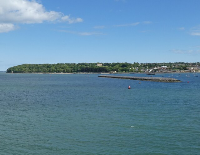
Osborne Bay
Osborne Bay is a bay on the north-east coast of the Isle of Wight, England, in the eastern arm of the Solent. It lies to the east of East Cowes and is...

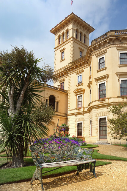
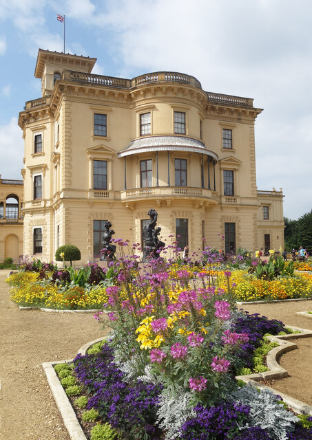
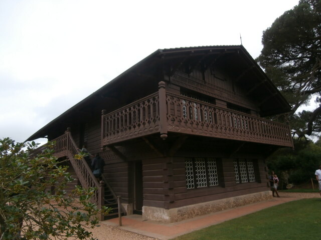
Osborne House
Osborne House is a former royal residence in East Cowes, Isle of Wight, United Kingdom. The house was built between 1845 and 1851 for Queen Victoria and...
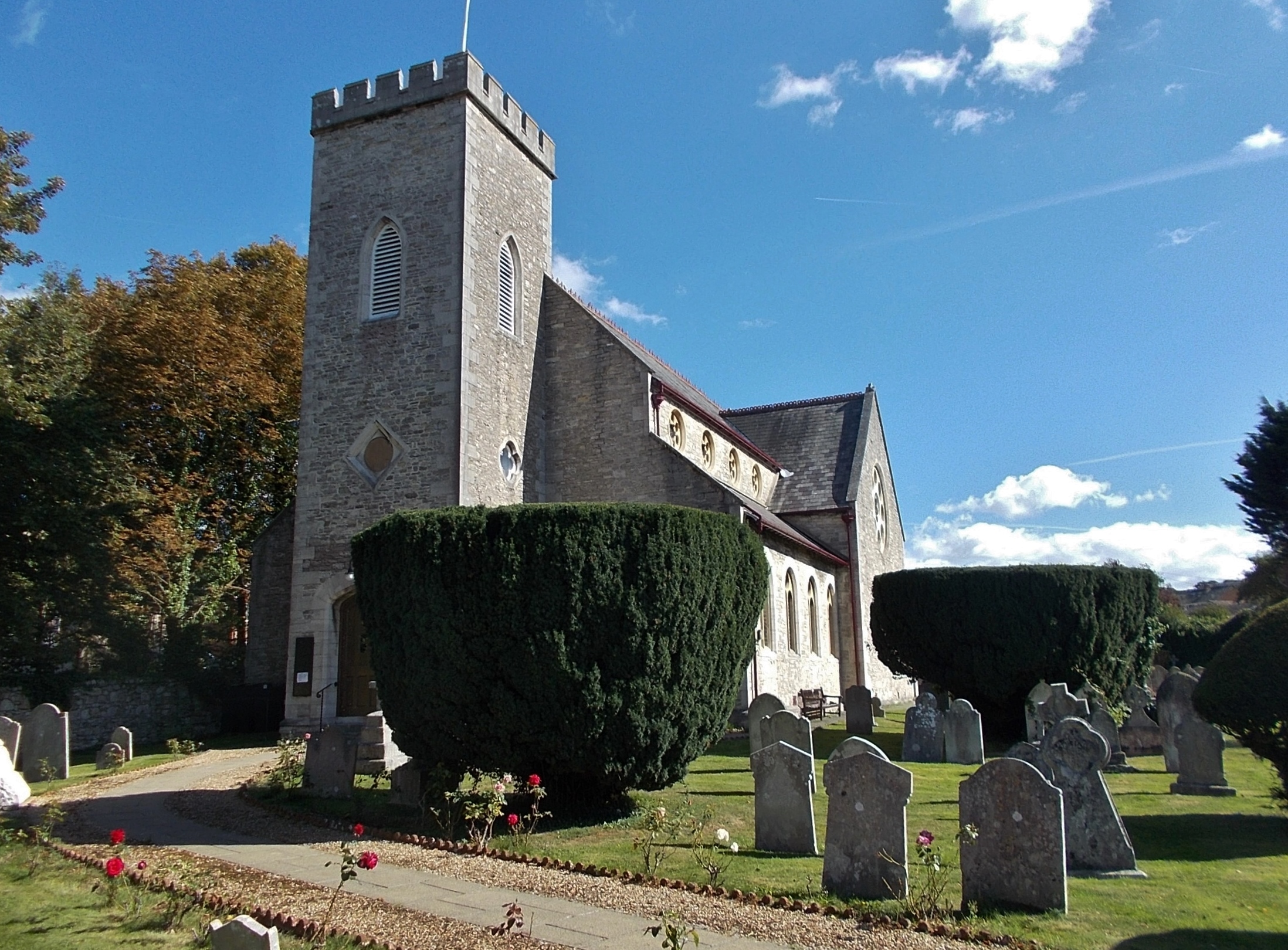
St James's Church, East Cowes
St James's Church, East Cowes is the Church of England parish church of East Cowes, Isle of Wight. == History == The church was built in 1831 by the architect...

East Cowes
East Cowes is a town and civil parish in the north of the Isle of Wight, on the east bank of the River Medina, next to its west bank neighbour Cowes. It...

Isle of Wight Studio School
The Isle of Wight Studio School was a Studio school which opened in East Cowes on the Isle of Wight in 2014. It was on the site of the former East Cowes...

Frank James Hospital
The Frank James Hospital is a currently closed hospital in Adelaide Grove, East Cowes on the Isle of Wight. It was sold by the NHS Trust in 2002 and since...
Nearby Amenities
Located within 500m of 50.762764,-1.2671095Have you been to Eastern Copse?
Leave your review of Eastern Copse below (or comments, questions and feedback).