Calf Clump
Wood, Forest in Oxfordshire West Oxfordshire
England
Calf Clump
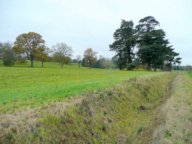
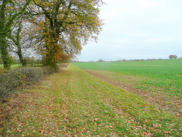
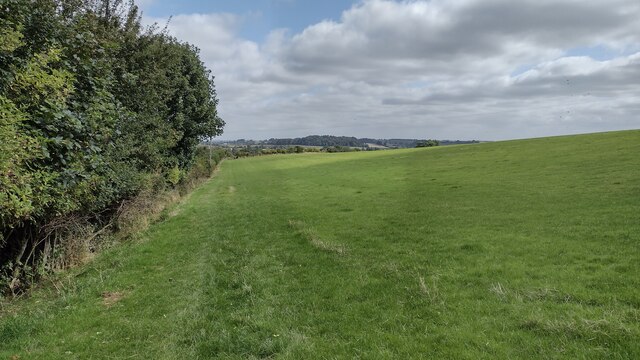
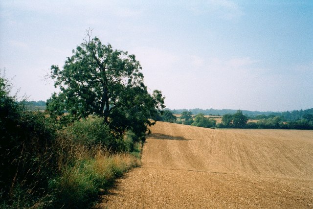
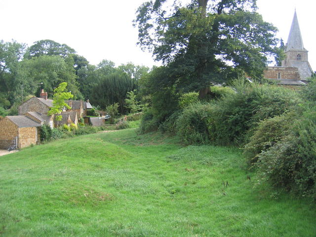
Calf Clump, located in Oxfordshire, England, is a picturesque woodland area renowned for its natural beauty and stunning scenery. Nestled within the heart of the county, this enchanting forest is a haven for nature lovers, hikers, and outdoor enthusiasts alike.
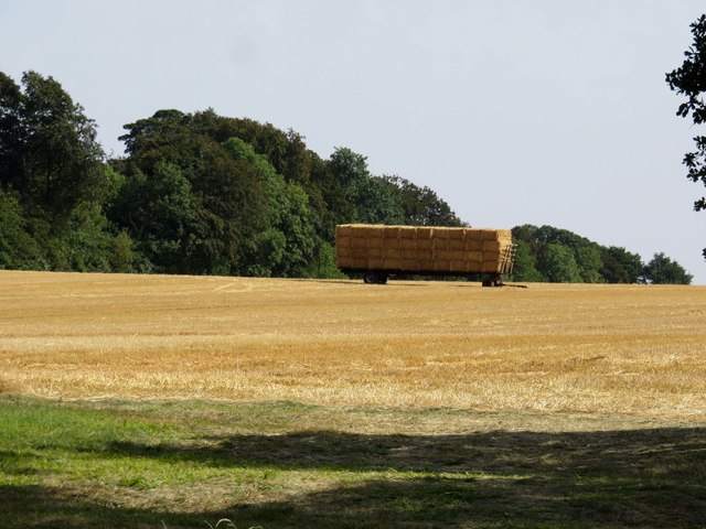
Covering an area of approximately 100 acres, Calf Clump is predominantly made up of ancient oak trees, creating a rich and diverse ecosystem. The woodland floor is adorned with a plethora of flora, including wildflowers, ferns, and mosses, adding to its charm and biodiversity.
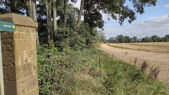
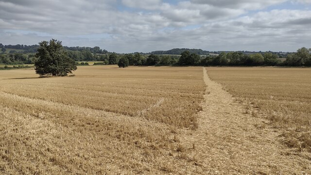
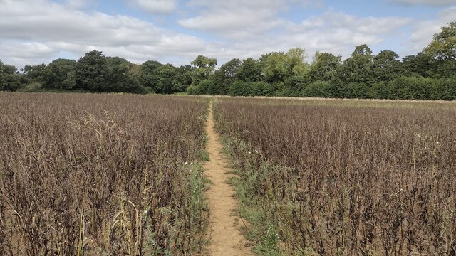
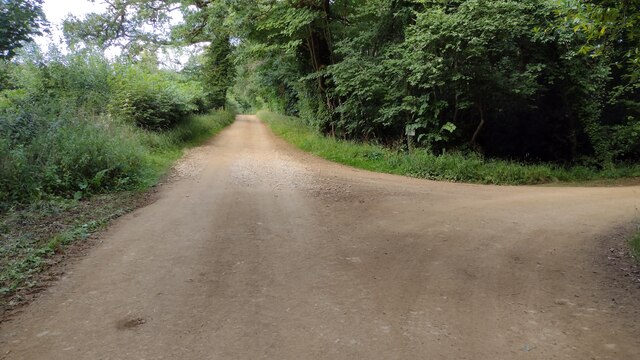
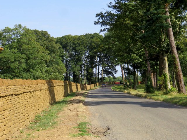
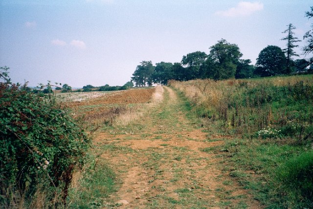
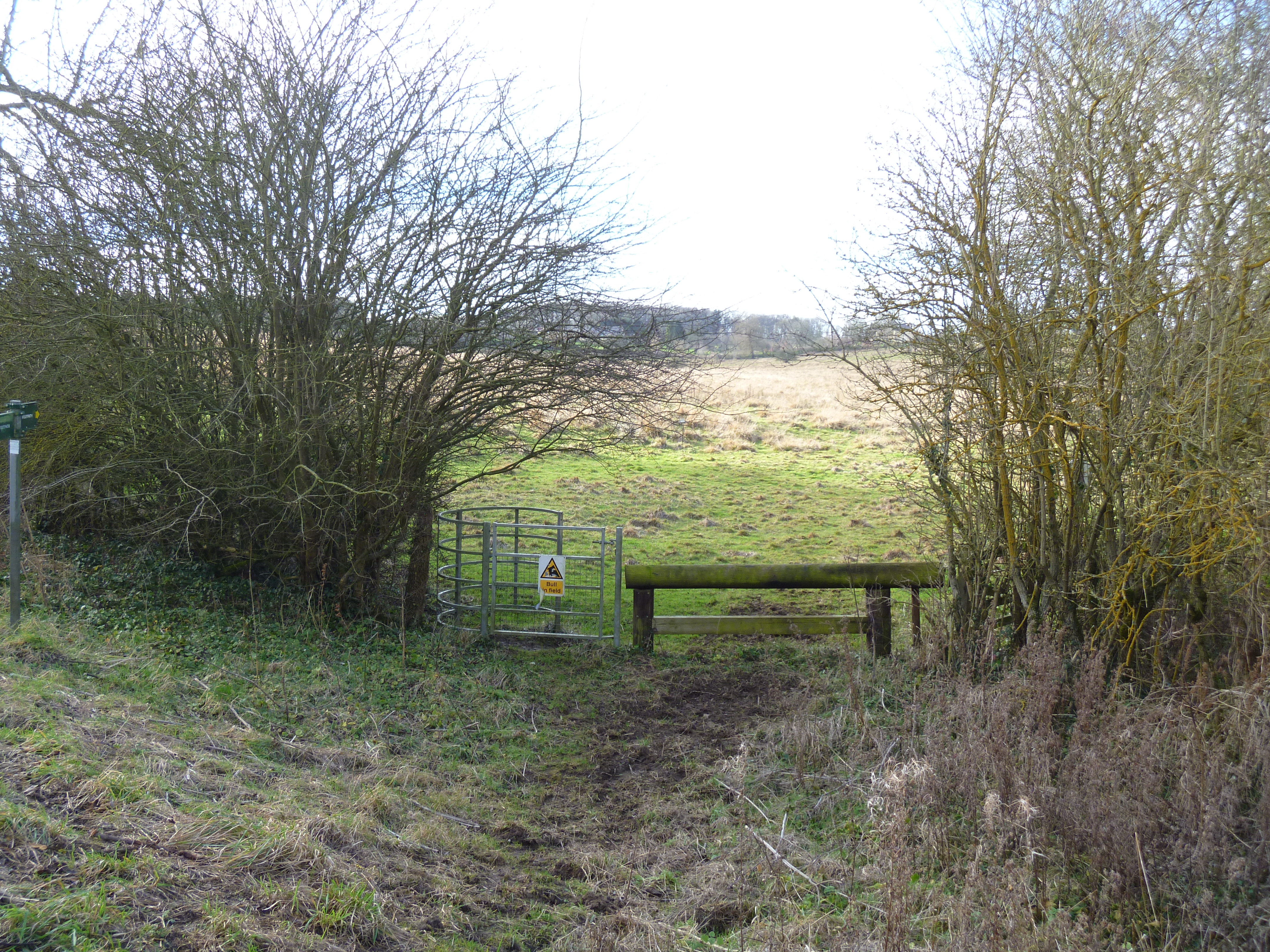
The forest is intersected by several well-maintained footpaths, offering visitors the opportunity to explore its hidden treasures. These trails wind through the woodland, leading to tranquil ponds, babbling brooks, and open glades where one can relax and immerse themselves in the peaceful surroundings.
Wildlife thrives within Calf Clump, making it a haven for animal enthusiasts. The forest is home to a variety of species, including deer, foxes, badgers, and numerous bird species. Birdwatchers will be delighted to spot woodpeckers, owls, and the occasional nesting songbird.
Calf Clump is a popular destination for outdoor activities such as hiking, picnicking, and photography. With its diverse range of scenery, from dense woodland to open clearings, it provides an ideal backdrop for capturing the beauty of nature through the lens.
Overall, Calf Clump in Oxfordshire is a truly enchanting woodland, offering visitors an escape from the hustle and bustle of everyday life. With its stunning scenery, rich biodiversity, and peaceful ambiance, it is a place where one can truly connect with nature and experience the serenity of the great outdoors.
If you have any feedback on the listing, please let us know in the comments section below.
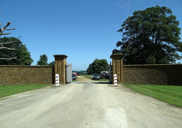
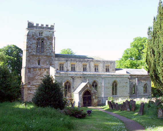
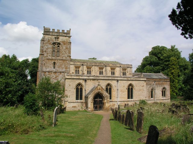
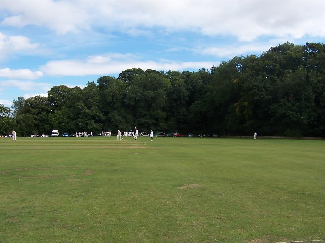
Calf Clump Images
Images are sourced within 2km of 51.966775/-1.4212171 or Grid Reference SP3929. Thanks to Geograph Open Source API. All images are credited.
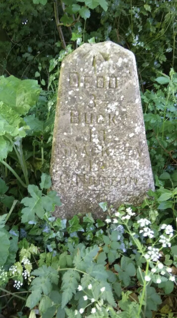
Calf Clump is located at Grid Ref: SP3929 (Lat: 51.966775, Lng: -1.4212171)
Administrative County: Oxfordshire
District: West Oxfordshire
Police Authority: Thames Valley
What 3 Words
///awakes.outnumber.dragging. Near Hook Norton, Oxfordshire
Nearby Locations
Related Wikis

Great Tew
Great Tew is an English village and civil parish in Oxfordshire, about 5 miles (8 km) north-east of Chipping Norton and 8 miles (13 km) south-west of Banbury...
Little Tew
Little Tew is an English village and civil parish about 4+1⁄2 miles (7 km) northeast of Chipping Norton and 8+1⁄2 miles (14 km) southwest of Banbury in...
Little Tew Meadows
Little Tew Meadows is a 40-hectare (99-acre) biological Site of Special Scientific Interest east of Chipping Norton in Oxfordshire.This site is composed...
Swerford Castle
Swerford Castle was a medieval castle in the village of Swerford, Oxfordshire, England. == History == Swerford Castle was built in a motte and bailey design...
Nether Worton
Nether Worton is a hamlet in the civil parish of Worton, in the West Oxfordshire district, in the county of Oxfordshire, England. It is about 6+1⁄2 miles...

Swerford
Swerford is a village and civil parish on the River Swere in the Cotswold Hills in Oxfordshire, England. It is about 4 miles (6.4 km) northeast of Chipping...

Worton (civil parish), Oxfordshire
Worton is a civil parish in the West Oxfordshire district about 7 miles (11 km) south of Banbury, England. It was formed in 1932 by the merger of the parishes...
Over Worton
Over Worton is a hamlet in the civil parish of Worton, in the West Oxfordshire district, in the county of Oxfordshire, England, about 7 miles (11 km) south...
Nearby Amenities
Located within 500m of 51.966775,-1.4212171Have you been to Calf Clump?
Leave your review of Calf Clump below (or comments, questions and feedback).