The Wilderness
Wood, Forest in Oxfordshire West Oxfordshire
England
The Wilderness
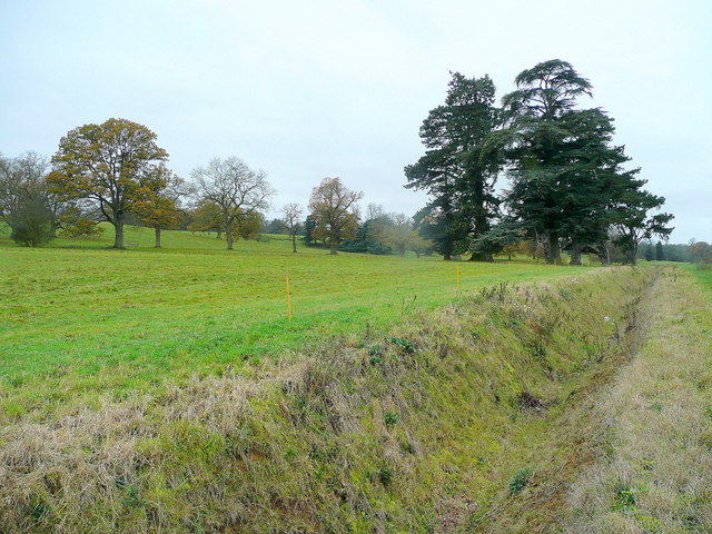
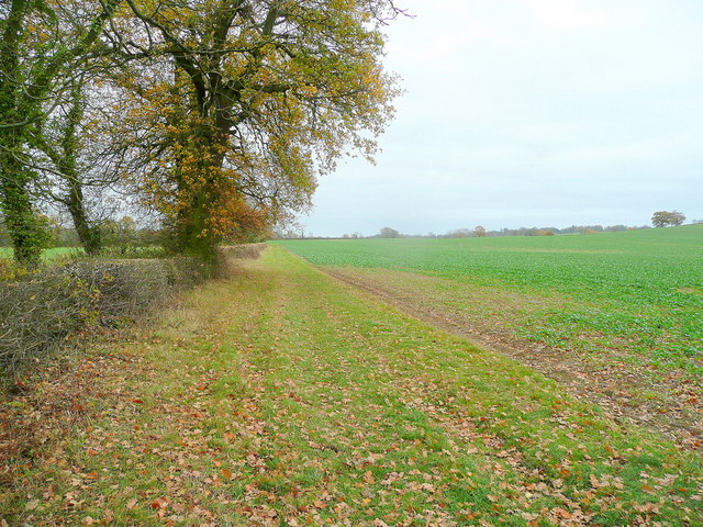
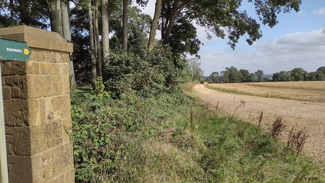
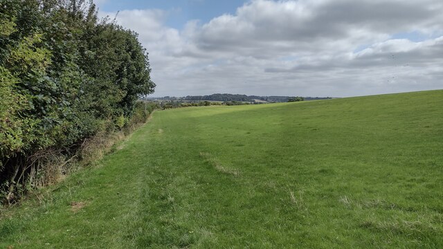
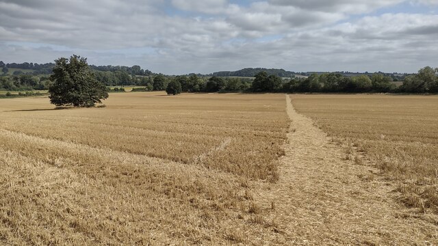
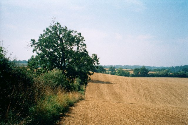
The Wilderness, located in Oxfordshire, England, is a picturesque woodland area that spans over 70 acres. It is a designated Site of Special Scientific Interest (SSSI) due to its rich biodiversity and historical significance. The Wilderness is primarily composed of ancient woodland, which means it has been continuously wooded for over 400 years.
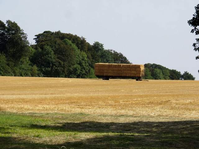
The woodland boasts a diverse range of tree species, including oak, beech, ash, and birch. These trees provide a habitat for various wildlife, such as deer, foxes, badgers, and a wide array of bird species. The woodland floor is adorned with an abundance of wildflowers, including bluebells, primroses, and wood sorrel, creating a vibrant and colorful landscape during springtime.
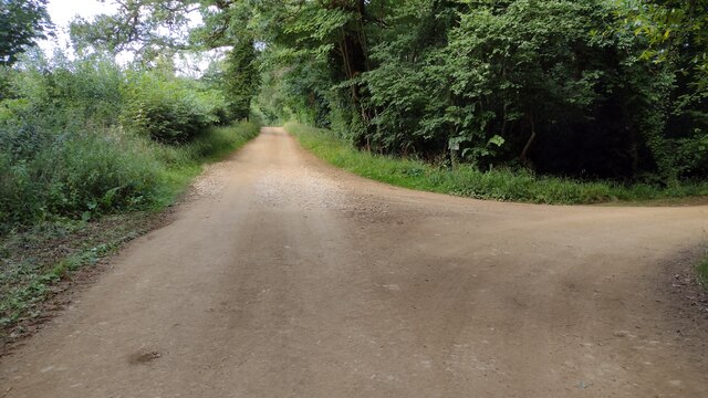
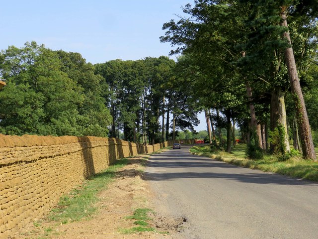
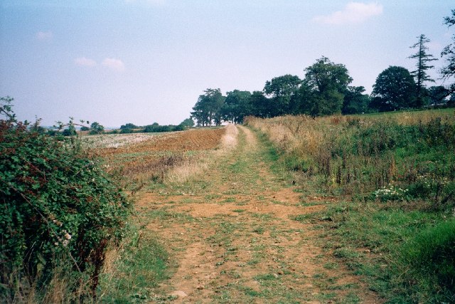
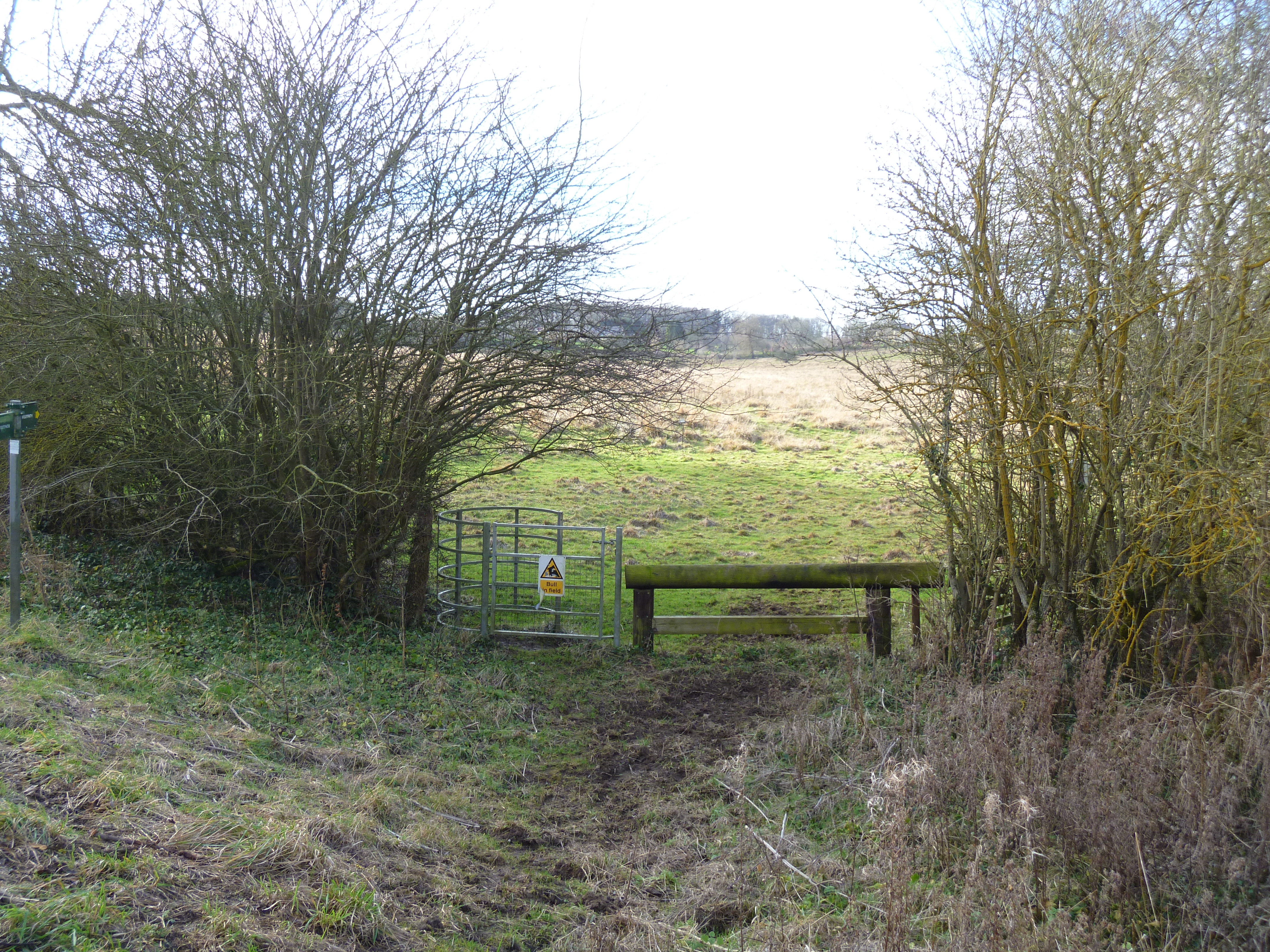
The Wilderness also features several walking trails, allowing visitors to explore and immerse themselves in the natural beauty of the forest. These paths wind through the ancient trees, offering a peaceful and tranquil experience. The area is well-maintained, with clear signage and information boards, providing visitors with knowledge about the history, flora, and fauna of the woodland.
In addition to its natural beauty, The Wilderness holds historical significance. The remains of a Roman villa have been discovered on the site, indicating human occupation dating back to the Roman era. The woodland also served as a hunting ground for the medieval Bampton Castle, which was located nearby.
Overall, The Wilderness in Oxfordshire is a captivating destination for nature enthusiasts, offering a serene and enchanting experience amidst its ancient woodland and remarkable biodiversity.
If you have any feedback on the listing, please let us know in the comments section below.
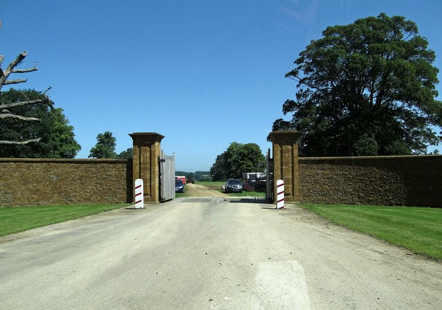
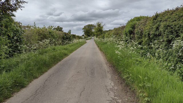
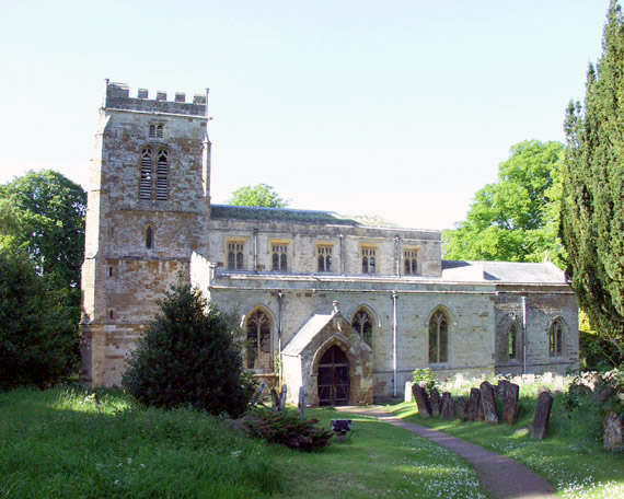
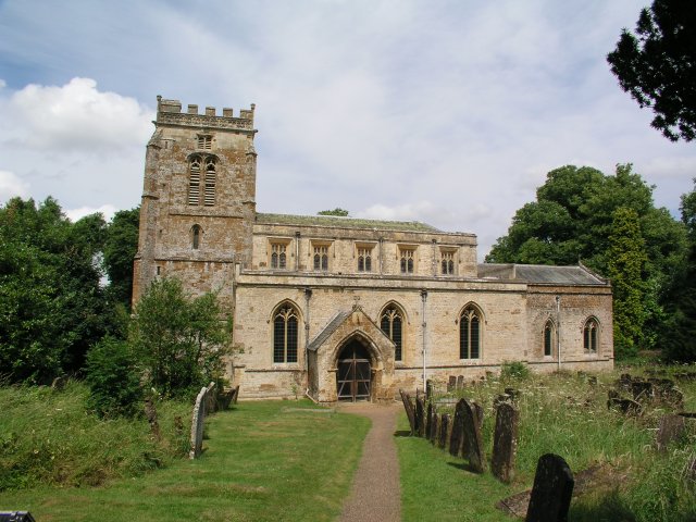
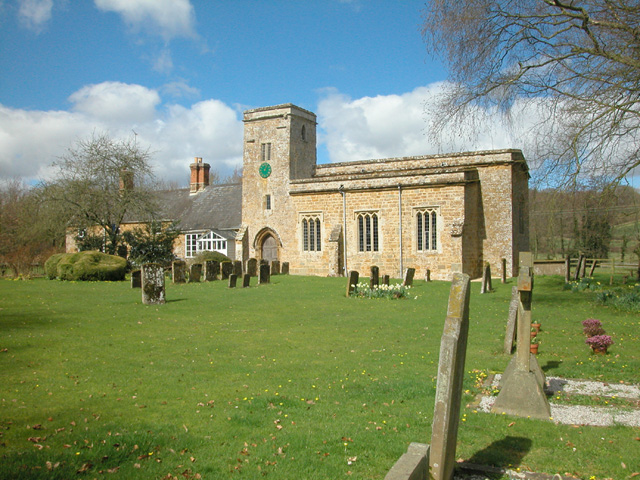
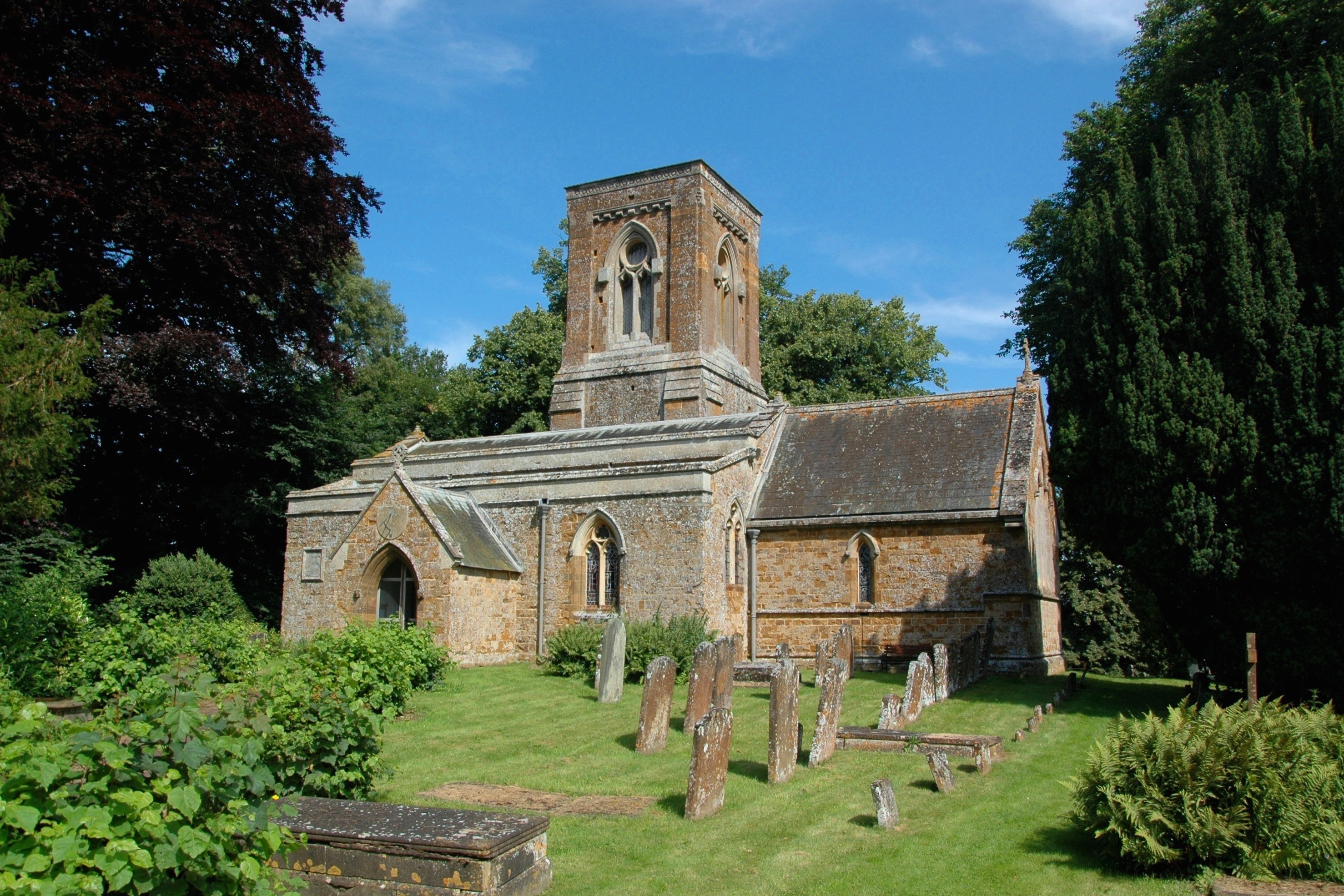
The Wilderness Images
Images are sourced within 2km of 51.959241/-1.4214014 or Grid Reference SP3929. Thanks to Geograph Open Source API. All images are credited.


The Wilderness is located at Grid Ref: SP3929 (Lat: 51.959241, Lng: -1.4214014)
Administrative County: Oxfordshire
District: West Oxfordshire
Police Authority: Thames Valley
What 3 Words
///relax.caused.cabs. Near Hook Norton, Oxfordshire
Nearby Locations
Related Wikis

Great Tew
Great Tew is an English village and civil parish in Oxfordshire, about 5 miles (8 km) north-east of Chipping Norton and 8 miles (13 km) south-west of Banbury...
Little Tew
Little Tew is an English village and civil parish about 4+1⁄2 miles (7 km) northeast of Chipping Norton and 8+1⁄2 miles (14 km) southwest of Banbury in...
Little Tew Meadows
Little Tew Meadows is a 40-hectare (99-acre) biological Site of Special Scientific Interest east of Chipping Norton in Oxfordshire.This site is composed...
Nether Worton
Nether Worton is a hamlet in the civil parish of Worton, in the West Oxfordshire district, in the county of Oxfordshire, England. It is about 6+1⁄2 miles...

Worton (civil parish), Oxfordshire
Worton is a civil parish in the West Oxfordshire district about 7 miles (11 km) south of Banbury, England. It was formed in 1932 by the merger of the parishes...
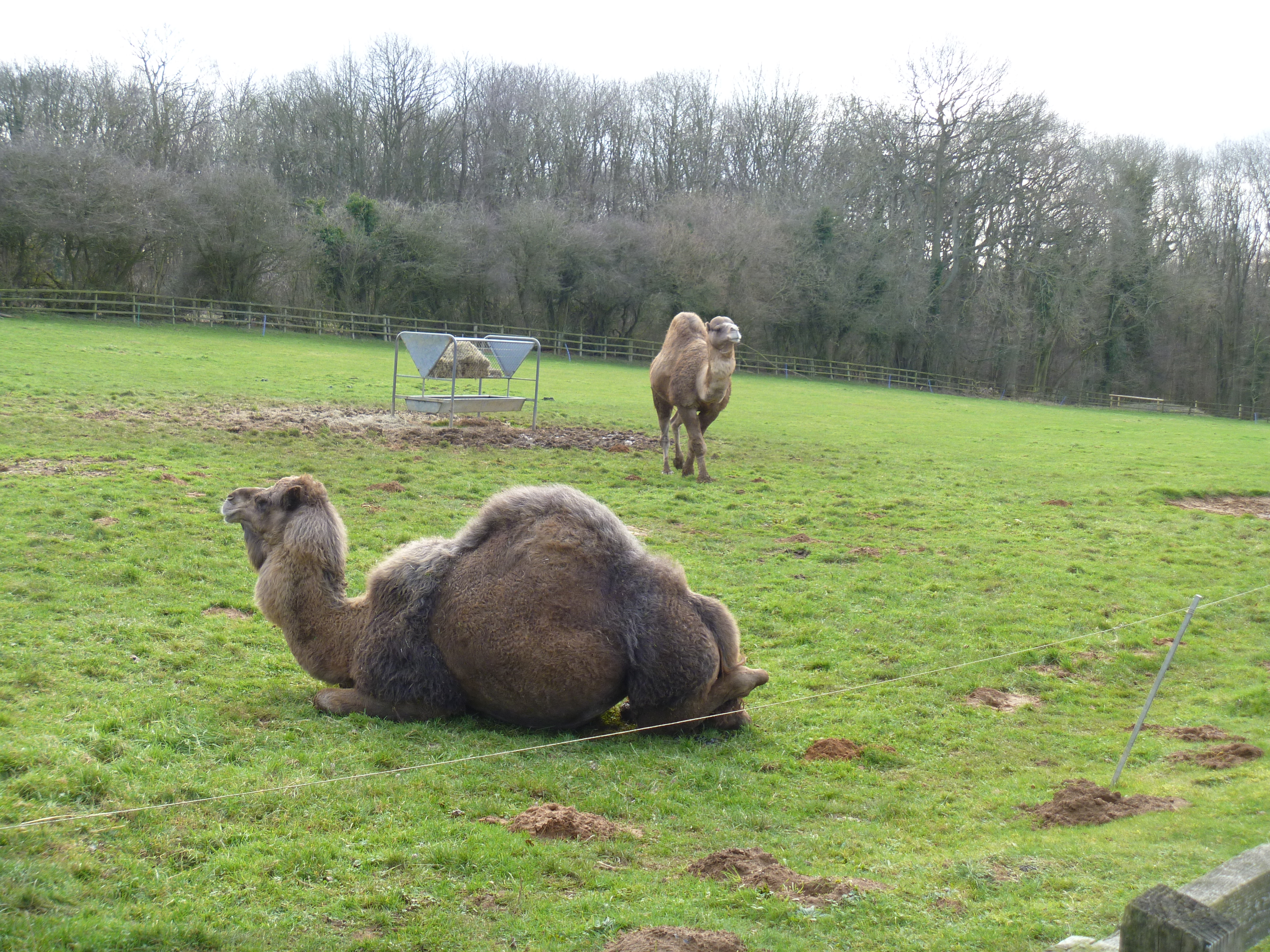
Heythrop Zoological Gardens
Heythrop Zoological Gardens is a private zoo and animal training centre in Heythrop, near Chipping Norton, Oxfordshire. The zoo has the largest private...
Over Worton
Over Worton is a hamlet in the civil parish of Worton, in the West Oxfordshire district, in the county of Oxfordshire, England, about 7 miles (11 km) south...

Sandford St Martin
Sandford St Martin is a village and civil parish in West Oxfordshire about 7 miles (11 km) east of Chipping Norton and about 12 miles (19 km) south of...
Nearby Amenities
Located within 500m of 51.959241,-1.4214014Have you been to The Wilderness?
Leave your review of The Wilderness below (or comments, questions and feedback).