Stowe's Spinney
Wood, Forest in Oxfordshire West Oxfordshire
England
Stowe's Spinney
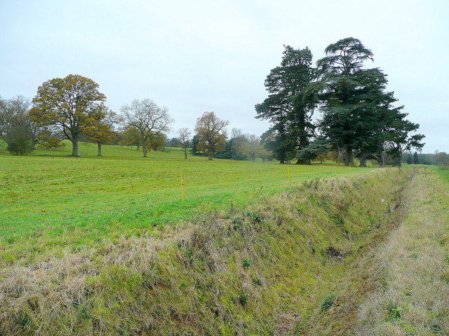
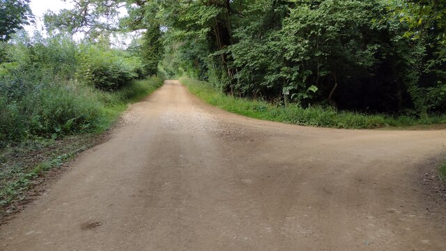
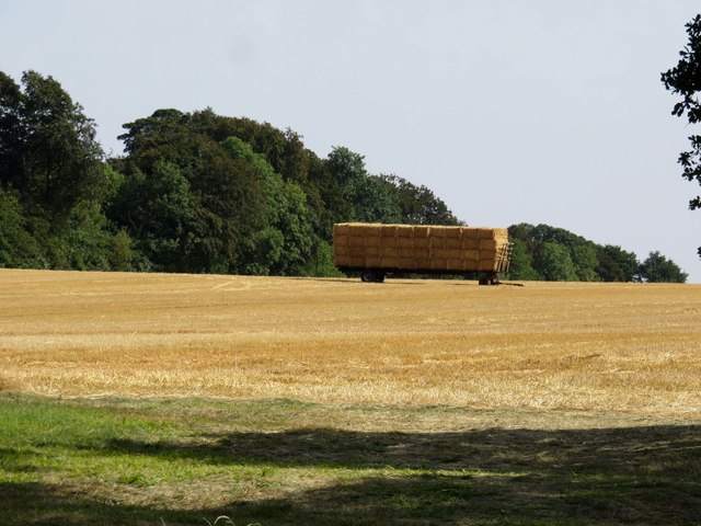
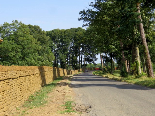
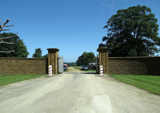
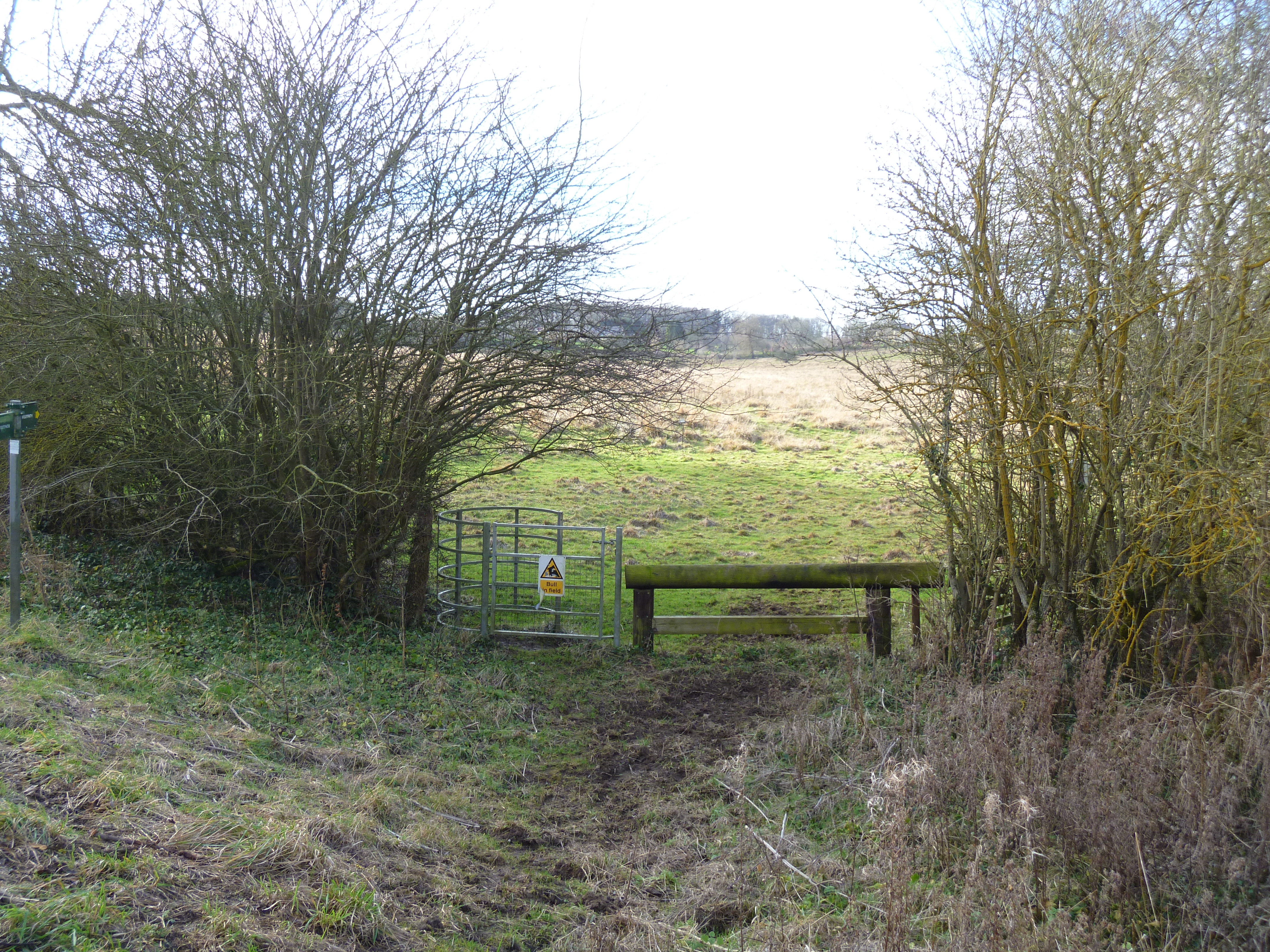
Stowe's Spinney is a picturesque woodland located in Oxfordshire, England. Situated near the historic town of Stowe, this enchanting forest covers an area of approximately 20 acres. With its diverse range of trees and abundant wildlife, Stowe's Spinney is a haven for nature lovers and a popular destination for outdoor enthusiasts.
The woodland is predominantly composed of native British trees, including oak, beech, birch, and ash. These towering trees create a dense canopy that provides a cool and serene atmosphere, especially during the summer months. The forest floor is carpeted with a variety of wildflowers, ferns, and mosses, adding to the natural beauty of the landscape.
Stowe's Spinney is also home to a diverse array of wildlife. Birdwatchers can spot numerous species of birds, such as woodpeckers, owls, and thrushes, while small mammals like foxes, badgers, and rabbits can be glimpsed amongst the trees. Butterflies and dragonflies flit through the air, adding vibrant pops of color to the woodland.
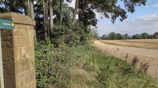
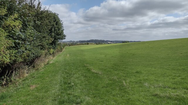
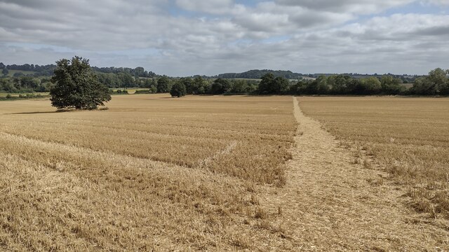
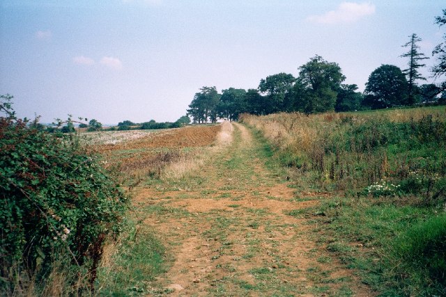
The wood is crisscrossed with a network of well-maintained footpaths, allowing visitors to explore its hidden corners and discover its natural treasures. Whether hiking, birdwatching, or simply enjoying a peaceful walk, Stowe's Spinney offers a tranquil escape from the hustle and bustle of everyday life.
In conclusion, Stowe's Spinney is a captivating woodland in Oxfordshire, boasting a rich tapestry of trees, flora, and fauna. Its peaceful ambiance and natural beauty make it a must-visit destination for anyone seeking a rejuvenating experience in the heart of nature.
If you have any feedback on the listing, please let us know in the comments section below.
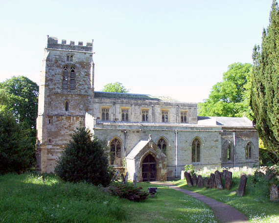
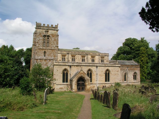
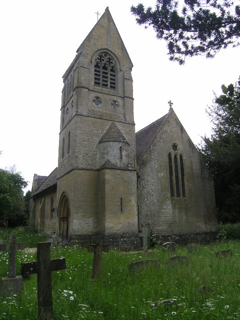
Stowe's Spinney Images
Images are sourced within 2km of 51.961426/-1.4288393 or Grid Reference SP3929. Thanks to Geograph Open Source API. All images are credited.


Stowe's Spinney is located at Grid Ref: SP3929 (Lat: 51.961426, Lng: -1.4288393)
Administrative County: Oxfordshire
District: West Oxfordshire
Police Authority: Thames Valley
What 3 Words
///shifters.accent.caged. Near Hook Norton, Oxfordshire
Nearby Locations
Related Wikis

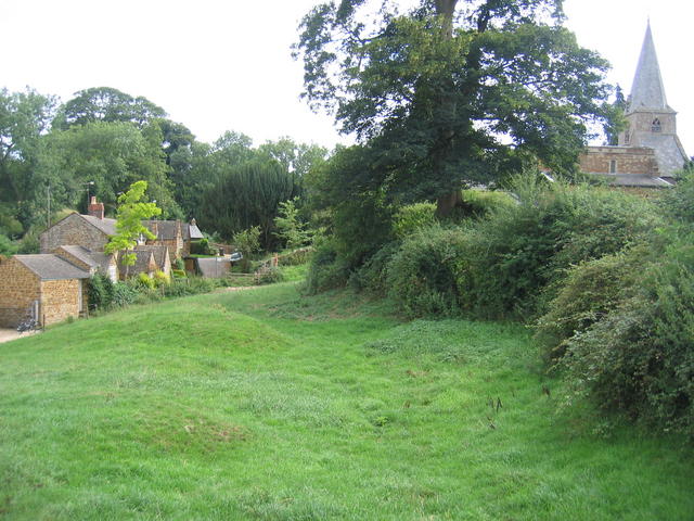
Great Tew
Great Tew is an English village and civil parish in Oxfordshire, about 5 miles (8 km) north-east of Chipping Norton and 8 miles (13 km) south-west of Banbury...
Little Tew
Little Tew is an English village and civil parish about 4+1⁄2 miles (7 km) northeast of Chipping Norton and 8+1⁄2 miles (14 km) southwest of Banbury in...
Little Tew Meadows
Little Tew Meadows is a 40-hectare (99-acre) biological Site of Special Scientific Interest east of Chipping Norton in Oxfordshire.This site is composed...
Swerford Castle
Swerford Castle was a medieval castle in the village of Swerford, Oxfordshire, England. == History == Swerford Castle was built in a motte and bailey design...
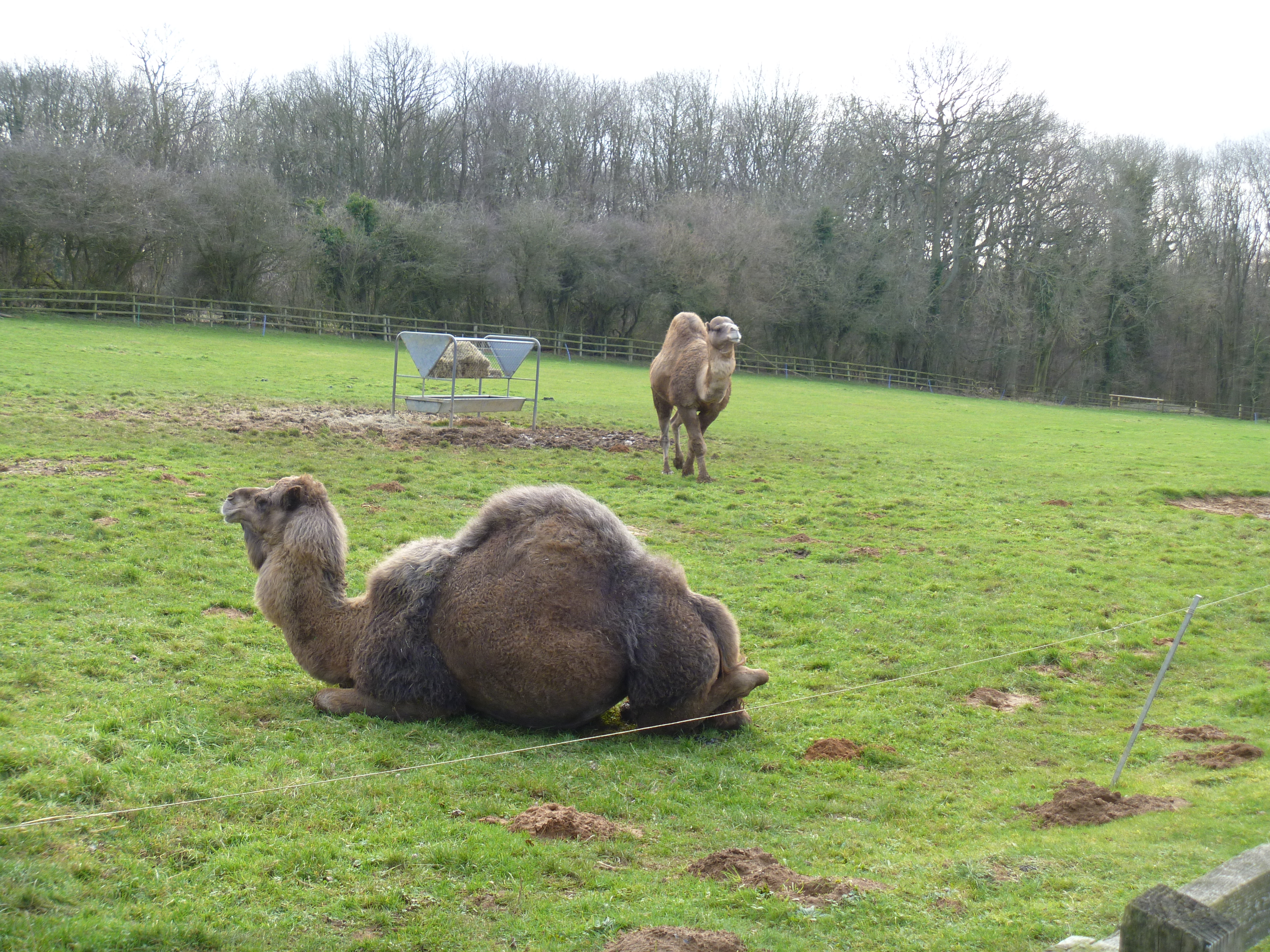
Heythrop Zoological Gardens
Heythrop Zoological Gardens is a private zoo and animal training centre in Heythrop, near Chipping Norton, Oxfordshire. The zoo has the largest private...

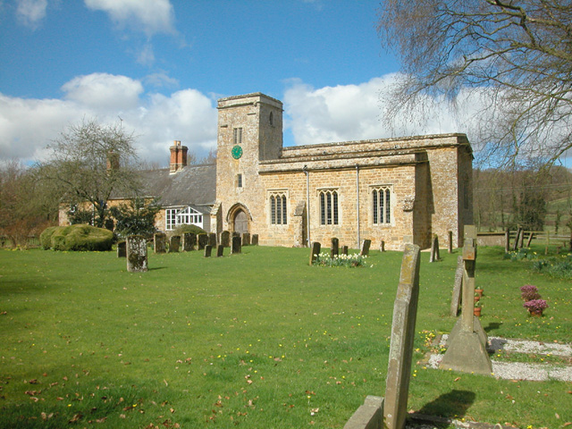
Swerford
Swerford is a village and civil parish on the River Swere in the Cotswold Hills in Oxfordshire, England. It is about 4 miles (6.4 km) northeast of Chipping...
Nether Worton
Nether Worton is a hamlet in the civil parish of Worton, in the West Oxfordshire district, in the county of Oxfordshire, England. It is about 6+1⁄2 miles...

Worton (civil parish), Oxfordshire
Worton is a civil parish in the West Oxfordshire district about 7 miles (11 km) south of Banbury, England. It was formed in 1932 by the merger of the parishes...
Nearby Amenities
Located within 500m of 51.961426,-1.4288393Have you been to Stowe's Spinney?
Leave your review of Stowe's Spinney below (or comments, questions and feedback).