Great Tew
Settlement in Oxfordshire West Oxfordshire
England
Great Tew
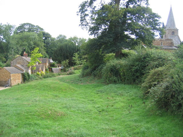
Great Tew is a picturesque village located in the county of Oxfordshire, England. Situated about 12 miles northeast of the historic city of Oxford, Great Tew is nestled in the undulating countryside of the Cotswolds. With a population of just over 150 residents, it is a small but charming village renowned for its idyllic rural setting.
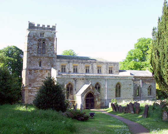
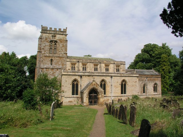
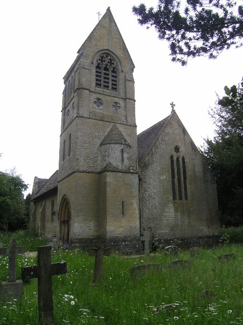
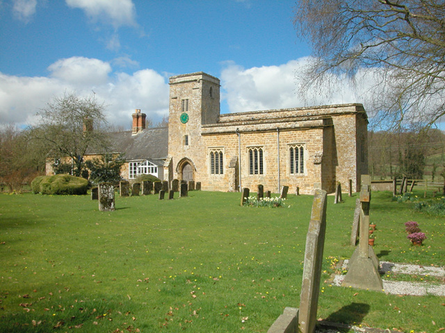
The heart of Great Tew is centered around a large village green, surrounded by beautiful stone cottages and historic buildings. The focal point of the village is the Grade I listed St. Michael and All Angels Church, which dates back to the 12th century and features stunning architectural details.
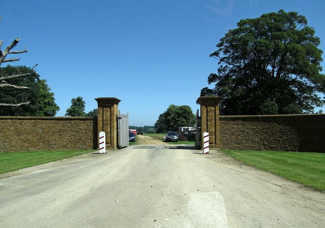
Great Tew is also famous for its connection to the Falkland family, who have been the main landowners since the 17th century. The village is dominated by the grand Great Tew Estate, which includes a stately home and expansive parkland. The estate has been well-preserved and its elegant buildings and gardens attract visitors from far and wide.
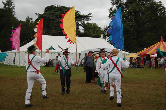
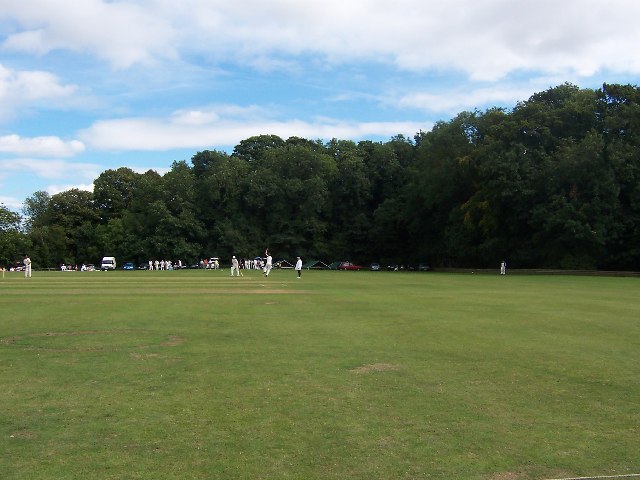
Despite its small size, Great Tew boasts a vibrant community spirit. The village hosts various social events throughout the year, including the popular Great Tew Horse Trials, which draw equestrian enthusiasts from all over the country.
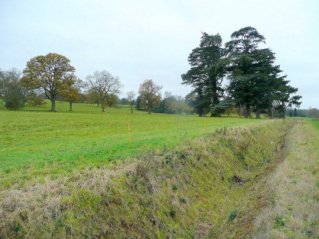
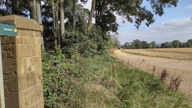
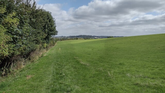
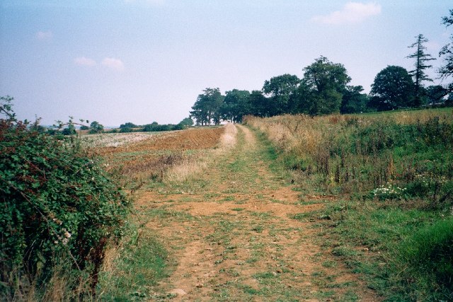
Surrounded by rolling hills and picturesque countryside, Great Tew offers a peaceful and tranquil environment for residents and visitors alike. Its quintessential English charm, coupled with its rich history and natural beauty, make Great Tew a truly delightful place to visit or call home.
If you have any feedback on the listing, please let us know in the comments section below.
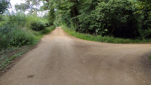
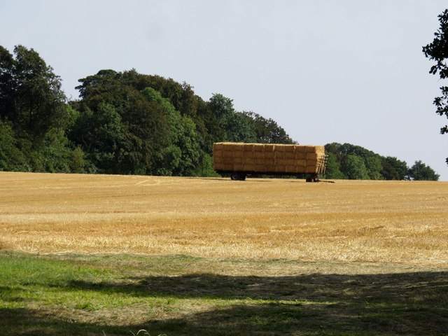
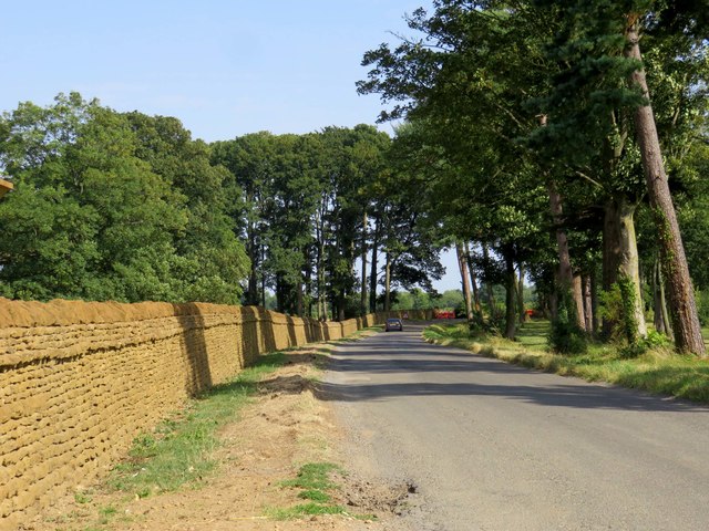
Great Tew Images
Images are sourced within 2km of 51.960039/-1.429442 or Grid Reference SP3929. Thanks to Geograph Open Source API. All images are credited.


Great Tew is located at Grid Ref: SP3929 (Lat: 51.960039, Lng: -1.429442)
Administrative County: Oxfordshire
District: West Oxfordshire
Police Authority: Thames Valley
What 3 Words
///stops.cartoons.corrupted. Near Hook Norton, Oxfordshire
Nearby Locations
Related Wikis

Great Tew
Great Tew is an English village and civil parish in Oxfordshire, about 5 miles (8 km) north-east of Chipping Norton and 8 miles (13 km) south-west of Banbury...
Little Tew
Little Tew is an English village and civil parish about 4+1⁄2 miles (7 km) northeast of Chipping Norton and 8+1⁄2 miles (14 km) southwest of Banbury in...
Little Tew Meadows
Little Tew Meadows is a 40-hectare (99-acre) biological Site of Special Scientific Interest east of Chipping Norton in Oxfordshire.This site is composed...
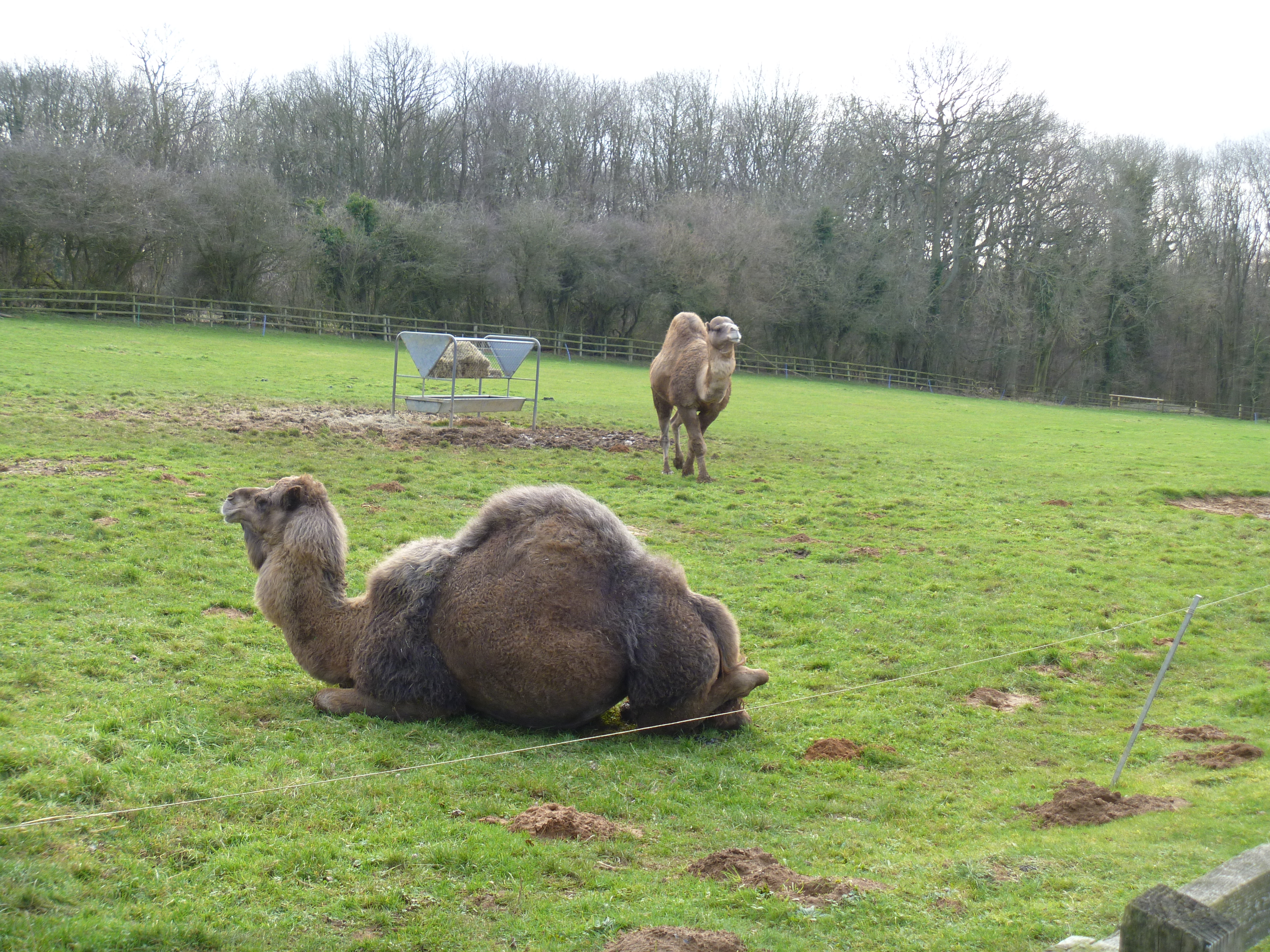
Heythrop Zoological Gardens
Heythrop Zoological Gardens is a private zoo and animal training centre in Heythrop, near Chipping Norton, Oxfordshire. The zoo has the largest private...
Swerford Castle
Swerford Castle was a medieval castle in the village of Swerford, Oxfordshire, England. == History == Swerford Castle was built in a motte and bailey design...

Swerford
Swerford is a village and civil parish on the River Swere in the Cotswold Hills in Oxfordshire, England. It is about 4 miles (6.4 km) northeast of Chipping...

Enstone Airfield
Enstone Aerodrome is a small unlicensed civilian airfield in England close to Enstone in Oxfordshire, which is currently used for microlights, light aircraft...
Nether Worton
Nether Worton is a hamlet in the civil parish of Worton, in the West Oxfordshire district, in the county of Oxfordshire, England. It is about 6+1⁄2 miles...
Nearby Amenities
Located within 500m of 51.960039,-1.429442Have you been to Great Tew?
Leave your review of Great Tew below (or comments, questions and feedback).