Acorn Copse
Wood, Forest in Oxfordshire West Oxfordshire
England
Acorn Copse
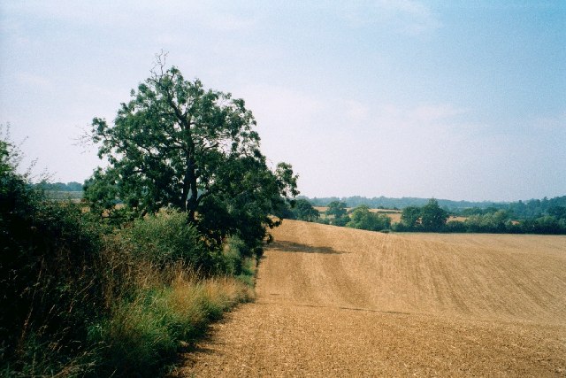
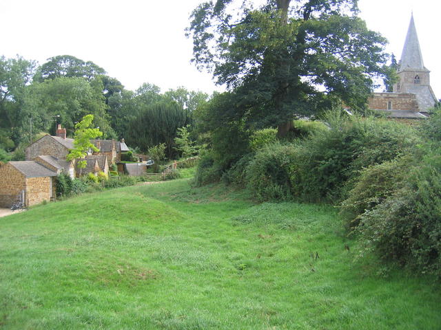
Acorn Copse is a picturesque woodland area located in the county of Oxfordshire, England. Situated near the town of Oxford, the copse covers an area of approximately 50 acres and is renowned for its natural beauty and tranquil atmosphere.
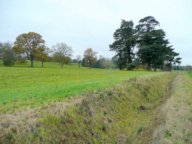
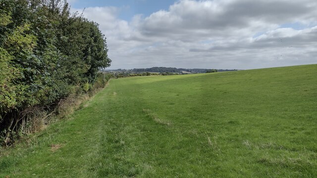
The woodland is predominantly made up of oak trees, which lend the copse its name. These majestic trees provide a dense canopy, creating a shaded and cool environment, especially during the summer months. The copse is also home to a variety of other tree species, including beech, ash, and birch, which add to the diversity of the forest.
Acorn Copse offers a haven for wildlife enthusiasts, as it is teeming with a wide range of flora and fauna. Numerous bird species can be spotted among the trees, such as woodpeckers, thrushes, and owls. Deer, foxes, and squirrels are often seen darting through the undergrowth, while smaller creatures like rabbits and hedgehogs find refuge in the copse.
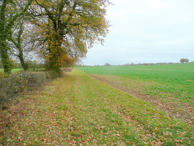
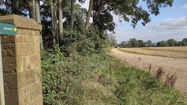
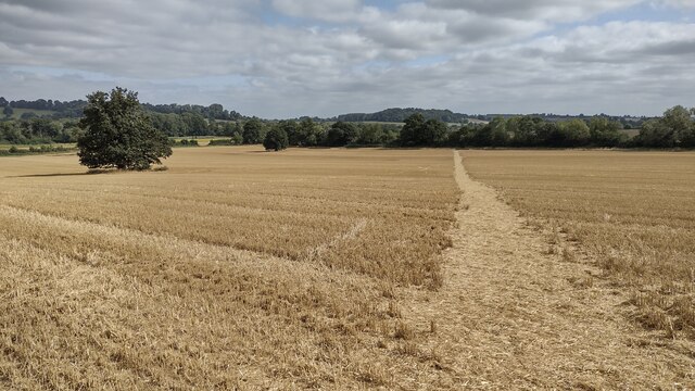
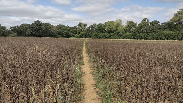
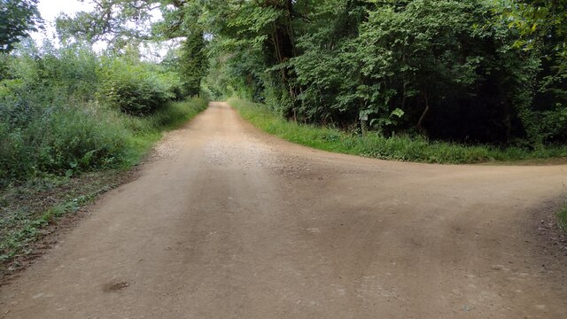
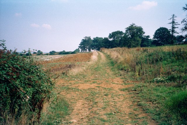
For outdoor enthusiasts, Acorn Copse provides several walking trails that allow visitors to explore its enchanting surroundings. These paths meander through the forest, leading to hidden clearings and small streams that add to the copse's charm. The copse is particularly popular during the autumn season when the oak trees shed their leaves, creating a stunning display of vibrant colors.
Acorn Copse is a cherished natural gem in Oxfordshire, attracting both locals and tourists alike who seek solace amidst nature's splendor. Its idyllic setting, rich biodiversity, and well-maintained trails make it a must-visit destination for those looking to escape the hustle and bustle of everyday life.
If you have any feedback on the listing, please let us know in the comments section below.
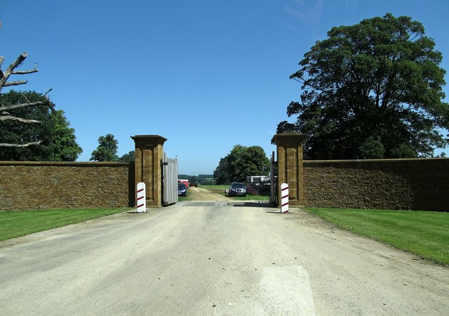
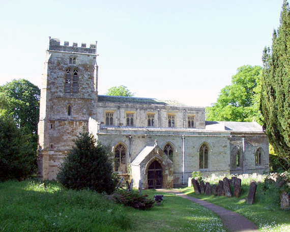
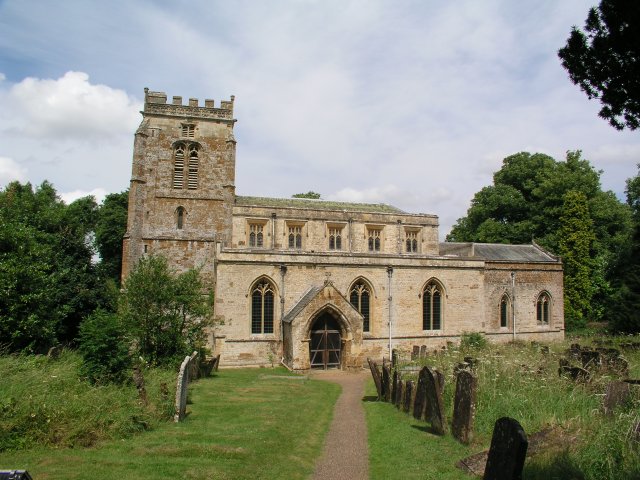
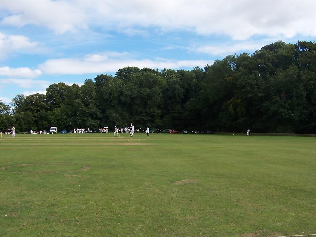
Acorn Copse Images
Images are sourced within 2km of 51.965225/-1.4223869 or Grid Reference SP3929. Thanks to Geograph Open Source API. All images are credited.
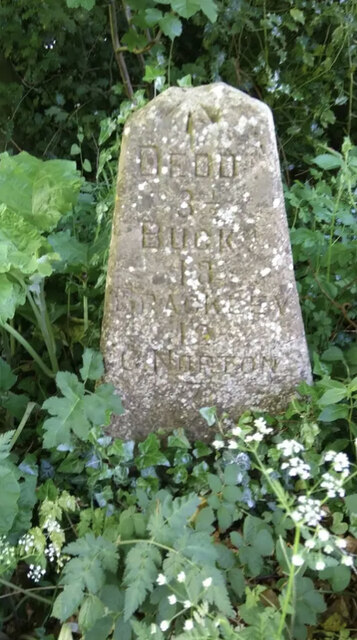
Acorn Copse is located at Grid Ref: SP3929 (Lat: 51.965225, Lng: -1.4223869)
Administrative County: Oxfordshire
District: West Oxfordshire
Police Authority: Thames Valley
What 3 Words
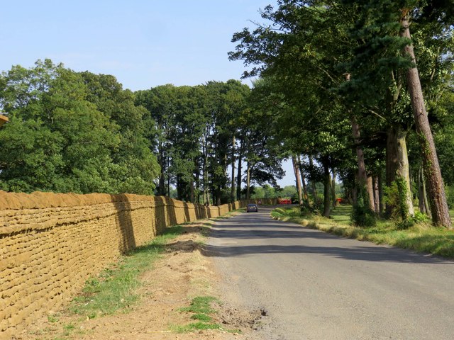
///unclaimed.kinds.bonfires. Near Hook Norton, Oxfordshire
Nearby Locations
Related Wikis

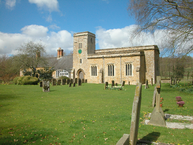
Great Tew
Great Tew is an English village and civil parish in Oxfordshire, about 5 miles (8 km) north-east of Chipping Norton and 8 miles (13 km) south-west of Banbury...
Little Tew
Little Tew is an English village and civil parish about 4+1⁄2 miles (7 km) northeast of Chipping Norton and 8+1⁄2 miles (14 km) southwest of Banbury in...
Little Tew Meadows
Little Tew Meadows is a 40-hectare (99-acre) biological Site of Special Scientific Interest east of Chipping Norton in Oxfordshire.This site is composed...
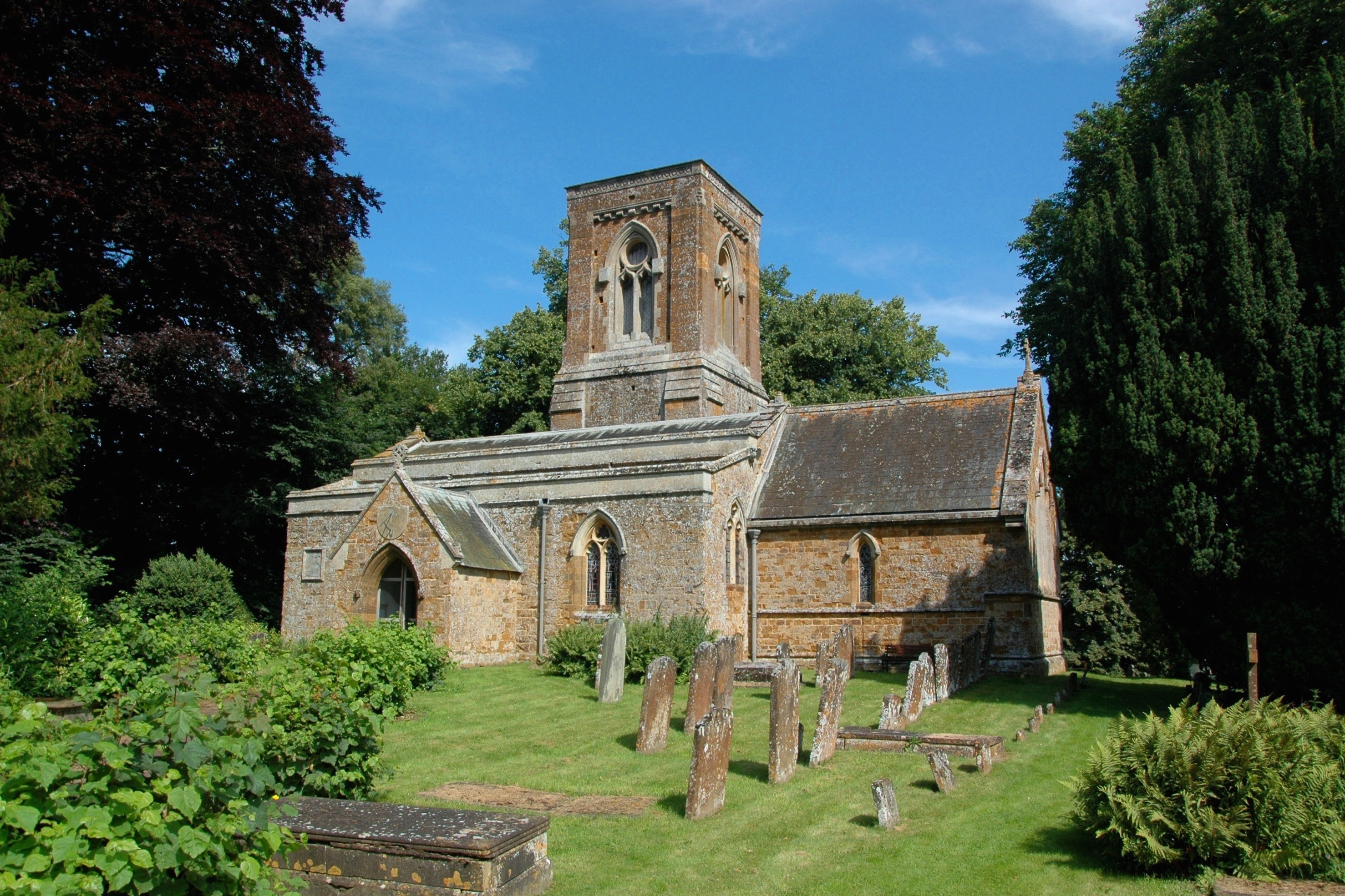
Swerford Castle
Swerford Castle was a medieval castle in the village of Swerford, Oxfordshire, England. == History == Swerford Castle was built in a motte and bailey design...
Nether Worton
Nether Worton is a hamlet in the civil parish of Worton, in the West Oxfordshire district, in the county of Oxfordshire, England. It is about 6+1⁄2 miles...

Swerford
Swerford is a village and civil parish on the River Swere in the Cotswold Hills in Oxfordshire, England. It is about 4 miles (6.4 km) northeast of Chipping...

Worton (civil parish), Oxfordshire
Worton is a civil parish in the West Oxfordshire district about 7 miles (11 km) south of Banbury, England. It was formed in 1932 by the merger of the parishes...
Over Worton
Over Worton is a hamlet in the civil parish of Worton, in the West Oxfordshire district, in the county of Oxfordshire, England, about 7 miles (11 km) south...
Related Videos
Walking around an English Village of GREAT TEW, UK/ FALKLAND ARMS 16th Century Pub/THATCHED COTTAGES
Great Tew is an English village and civil parish in Oxfordshire, 5 miles of Chipping Norton and 8 miles south west of Banbury.


SOHO FARMHOUSE OXFORDSHIRE PIGLET ROOM TOUR | Soki Travels
Qatar Q Suite: https://youtu.be/Jsa1US9d3mU Jordan Travel Vlog: https://youtu.be/BZiecbuGEic See the rest of my travel ...
Nearby Amenities
Located within 500m of 51.965225,-1.4223869Have you been to Acorn Copse?
Leave your review of Acorn Copse below (or comments, questions and feedback).