Smiths Plantation
Wood, Forest in Hampshire Winchester
England
Smiths Plantation

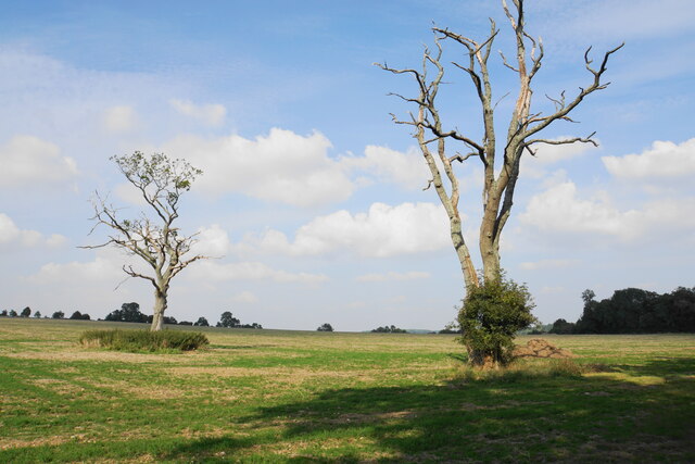
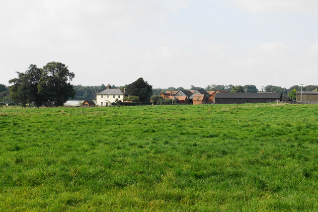
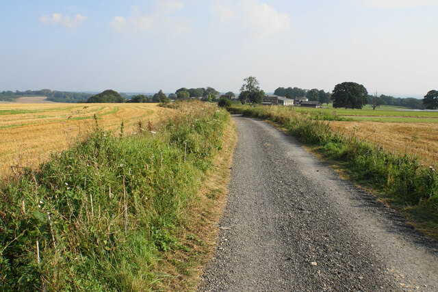
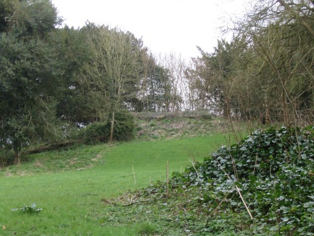
Smiths Plantation is a picturesque woodland area located in Hampshire, England. Situated in the heart of the county, the plantation covers a vast expanse of land, spanning approximately 500 acres. The plantation is known for its dense forest and diverse range of tree species, making it a haven for nature enthusiasts and hikers alike.
The woodland is dominated by a mixture of deciduous and coniferous trees, including oak, beech, pine, and cedar. These towering trees create a rich and vibrant canopy, providing a habitat for a plethora of wildlife. Visitors to Smiths Plantation can expect to encounter a variety of woodland creatures, such as deer, rabbits, squirrels, and a wide array of bird species.
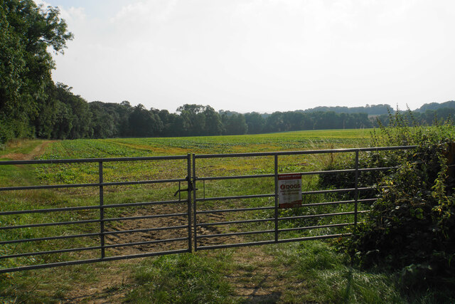
The plantation is crisscrossed with a network of well-maintained trails, allowing visitors to explore the area and immerse themselves in its natural beauty. These paths offer stunning views of the surrounding countryside, with rolling hills and meandering streams adding to the charm of the landscape.
In addition to its natural wonders, Smiths Plantation also boasts a small lake, providing a tranquil setting for fishing or simply enjoying a peaceful picnic by the water's edge. The plantation is open to the public year-round, and visitors can access the site through various entrances, each offering ample parking facilities.
Smiths Plantation is not only a haven for wildlife and nature lovers but also serves as an important ecological site, contributing to the preservation of Hampshire's natural heritage. Its serene beauty and abundant biodiversity make it a must-visit destination for those seeking solace in the midst of nature's embrace.
If you have any feedback on the listing, please let us know in the comments section below.
Smiths Plantation Images
Images are sourced within 2km of 51.055012/-1.4338357 or Grid Reference SU3928. Thanks to Geograph Open Source API. All images are credited.


Smiths Plantation is located at Grid Ref: SU3928 (Lat: 51.055012, Lng: -1.4338357)
Administrative County: Hampshire
District: Winchester
Police Authority: Hampshire
What 3 Words
///disbelief.narrates.level. Near Compton, Hampshire
Nearby Locations
Related Wikis

Farley Mount
Farley Mount is one of the highest points in Hampshire at 174 metres ASL (571ft). It is in Farley Mount Country Park, about four miles west of the historic...

Sparsholt Roman Villa
Sparsholt Roman Villa was a Roman villa near the village of Sparsholt, Hampshire, England. It was constructed in phases from the 2nd to the 5th century...
Ashley Castle
The remains of Ashley Castle are in the small village of Ashley, Test Valley, in Hampshire (grid reference SU385308). The visible remains now consist of...
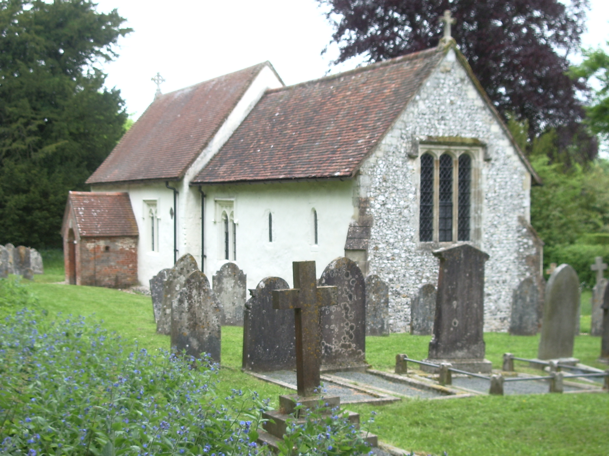
St. Mary's Church, Ashley
St. Mary's Church is a historic Anglican church in the hamlet of Ashley, Hampshire, England. It is recorded in the National Heritage List for England...
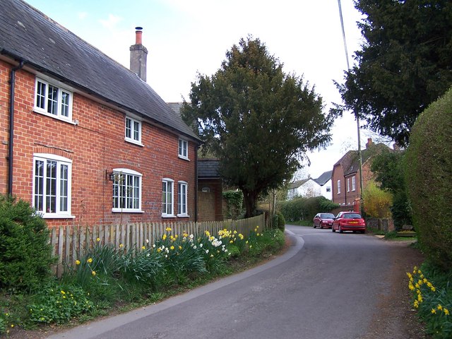
Ashley, Test Valley
Ashley is a village and civil parish in the Test Valley district of Hampshire, England, 8 miles (13 km) west of Winchester. Its nearest town is Stockbridge...

Church of St John the Baptist, Upper Eldon
The Church of St John the Baptist, Upper Eldon, is a redundant Anglican church in the parish of King's Somborne, Hampshire, England. It is recorded in...

Crab Wood
Crab Wood is a 73-hectare (180-acre) biological Site of Special Scientific Interest west of Winchester in Hampshire. An area of 37.8 hectares (93 acres...
Up Somborne
Up Somborne is a hamlet in the civil parish of King's Somborne in the Test Valley district of Hampshire, England. Its nearest town is Stockbridge, which...
Nearby Amenities
Located within 500m of 51.055012,-1.4338357Have you been to Smiths Plantation?
Leave your review of Smiths Plantation below (or comments, questions and feedback).