Bowley Wood

Wood, Forest in Derbyshire Amber Valley

England

Bowley Wood

Tesco superstore in Alfreton A significant presence in the centre of Alfreton. It looks much like any other Tesco.
Tesco superstore in Alfreton Credit: Bill Boaden

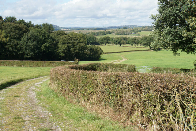
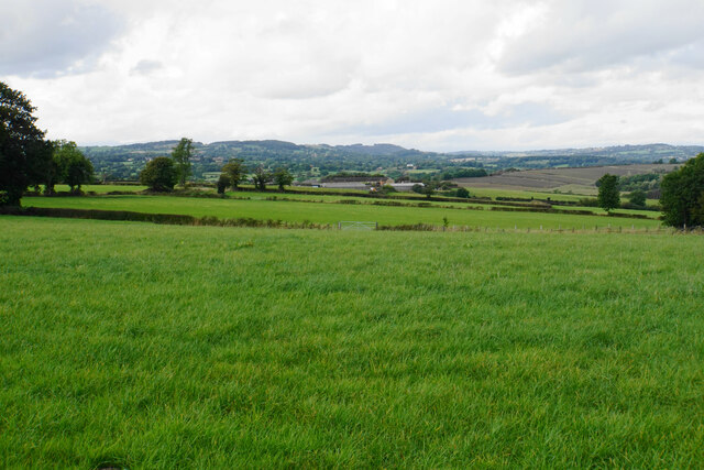
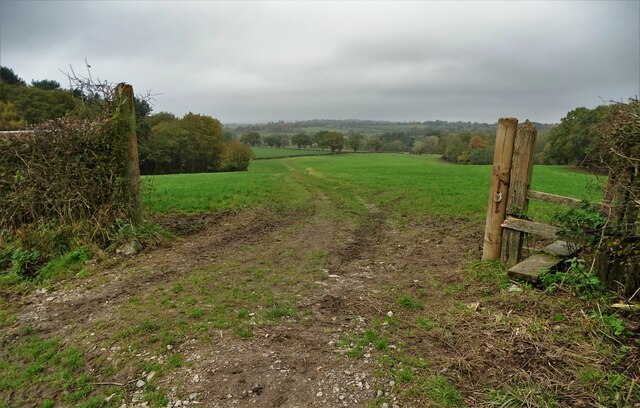
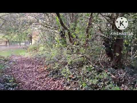
Bowley Wood is a picturesque forest located in Derbyshire, England. Covering an area of approximately 100 hectares, the wood is situated in the eastern part of the county, near the village of Ambergate. It forms part of the larger Derwent Valley Mills World Heritage Site, recognized for its historical significance and natural beauty.

The wood is predominantly composed of broadleaf trees, including oak, birch, ash, and beech, creating a diverse and vibrant ecosystem. It is home to a wide range of flora and fauna, making it a popular destination for nature enthusiasts and wildlife photographers. Visitors can explore the wood through a network of well-maintained footpaths, offering scenic views and opportunities for birdwatching.

Bowley Wood is also rich in history, with evidence of human activity dating back to the Bronze Age. The wood has remnants of ancient settlements, including circular earthworks and burial mounds, providing a fascinating glimpse into the region's past.

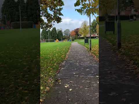
In addition to its natural and historical significance, Bowley Wood offers recreational activities for visitors. It has designated picnic areas and a children's play area, making it an ideal spot for families to enjoy a day out in the countryside. The wood is also a popular location for outdoor events and educational activities, promoting environmental awareness and conservation efforts.

Overall, Bowley Wood is a captivating woodland in Derbyshire, offering a mix of natural beauty, historical interest, and recreational opportunities for all to enjoy.

If you have any feedback on the listing, please let us know in the comments section below.

Bowley Wood Images

Images are sourced within 2km of 53.084959/-1.4063511 or Grid Reference SK3954. Thanks to Geograph Open Source API. All images are credited.

Tesco superstore in Alfreton A significant presence in the centre of Alfreton. It looks much like any other Tesco.
Tesco superstore in Alfreton
A significant presence in the centre of Alfreton. It looks much like any other Tesco.
The Old Market Square The town received a charter to hold a market in 1252, but the only market activity now is in the nearby market hall.
The Old Market Square
The town received a charter to hold a market in 1252, but the only market activity now is in the nearby market hall.
Church Street, Alfreton Leading to St Martin's Church, and on foot to the countryside beyond.
Church Street, Alfreton
Leading to St Martin's Church, and on foot to the countryside beyond.
Path to Shirland The path follows a farm track down to the valley of Alfreton Brook. The hills behind are the higher ground surrounding Ashover.
Path to Shirland
The path follows a farm track down to the valley of Alfreton Brook. The hills behind are the higher ground surrounding Ashover.
Path to Shirland Following a good farm track with a firm base. The ground slopes down towards Alfreton Brook. Some of the land ahead would be affected by the proposals for a new solar farm.
Path to Shirland
Following a good farm track with a firm base. The ground slopes down towards Alfreton Brook. Some of the land ahead would be affected by the proposals for a new solar farm.
Path to Alfreton There is a steady gentle climb to get to St Martin's Church, which is the first part of Alfreton that you reach.
Path to Alfreton
There is a steady gentle climb to get to St Martin's Church, which is the first part of Alfreton that you reach.
Farmland north west of Alfreton This view will be severely affected by the proposed solar farm on the farmland.
Farmland north west of Alfreton
This view will be severely affected by the proposed solar farm on the farmland.
Crossroads Tavern A pub towards the eastern end of Alfreton's High Street. It is situated on a crossroads.
Crossroads Tavern
A pub towards the eastern end of Alfreton's High Street. It is situated on a crossroads.
High Street, Alfreton The traffic is not always as busy as this.
High Street, Alfreton
The traffic is not always as busy as this.
Institute Lane, Alfreton Now part of the pedestrianised precinct.
Institute Lane, Alfreton
Now part of the pedestrianised precinct.
Bus station in Alfreton
Between Pond Wood and Wren Wood North of Alfreton
Between Pond Wood and Wren Wood
North of Alfreton
Field track looking towards Alfreton at Alfreton Park
St Martin's Church, Alfreton
Alfreton - High Street
Umbrellas on Institute Lane in Alfreton A simple but very effective display of colour in the town centre. This locally-funded initiative aims to attract more shoppers into the precinct post-lock down,  
 and just as importantly to help rejuvenate the town centre as a whole. It's fair to say that Alfreton has not seen the investments which other towns in the area have benefited from over recent times.
Umbrellas on Institute Lane in Alfreton
A simple but very effective display of colour in the town centre. This locally-funded initiative aims to attract more shoppers into the precinct post-lock down, and just as importantly to help rejuvenate the town centre as a whole. It's fair to say that Alfreton has not seen the investments which other towns in the area have benefited from over recent times.
Polygon Youth Centre, Alfreton Offering a wide range of activities for young people in Derbyshire including arts, sports, trips out and music. 
Day 143: Fujifilm J100 digital camera. 1/320 sec. f/5.1, 6.3 mm. ISO 64.
Polygon Youth Centre, Alfreton
Offering a wide range of activities for young people in Derbyshire including arts, sports, trips out and music. Day 143: Fujifilm J100 digital camera. 1/320 sec. f/5.1, 6.3 mm. ISO 64.
12 Church Street, Alfreton Built as a lodge to Alfreton Hall <span class="nowrap"><a title="https://historicengland.org.uk/listing/the-list/list-entry/1109031?section=official-list-entry" rel="nofollow ugc noopener" href="https://historicengland.org.uk/listing/the-list/list-entry/1109031?section=official-list-entry">Link</a><img style="margin-left:2px;" alt="External link" title="External link - shift click to open in new window" src="https://s1.geograph.org.uk/img/external.png" width="10" height="10"/></span>
12 Church Street, Alfreton
Built as a lodge to Alfreton Hall LinkExternal link
Show me another place!

Bowley Wood is located at Grid Ref: SK3954 (Lat: 53.084959, Lng: -1.4063511)

Administrative County: Derbyshire

District: Amber Valley

Police Authority: Derbyshire

What 3 Words

///paused.harder.gangs. Near Alfreton, Derbyshire

Related Wikis

Oakerthorpe

Oakerthorpe is a village in Derbyshire, England. == History == Oakerthorpe is a small village near Alfreton. It was known in medieval times as Ulkerthorpe...

Swanwick, Derbyshire

Swanwick () is a village in Derbyshire, England, also a parish within the Amber Valley district, with a population of 5,316 at the 2001 census, falling...

David Nieper Academy

David Nieper Academy is a co-educational secondary school and sixth form located in Alfreton in the English county of Derbyshire. == History == The school...
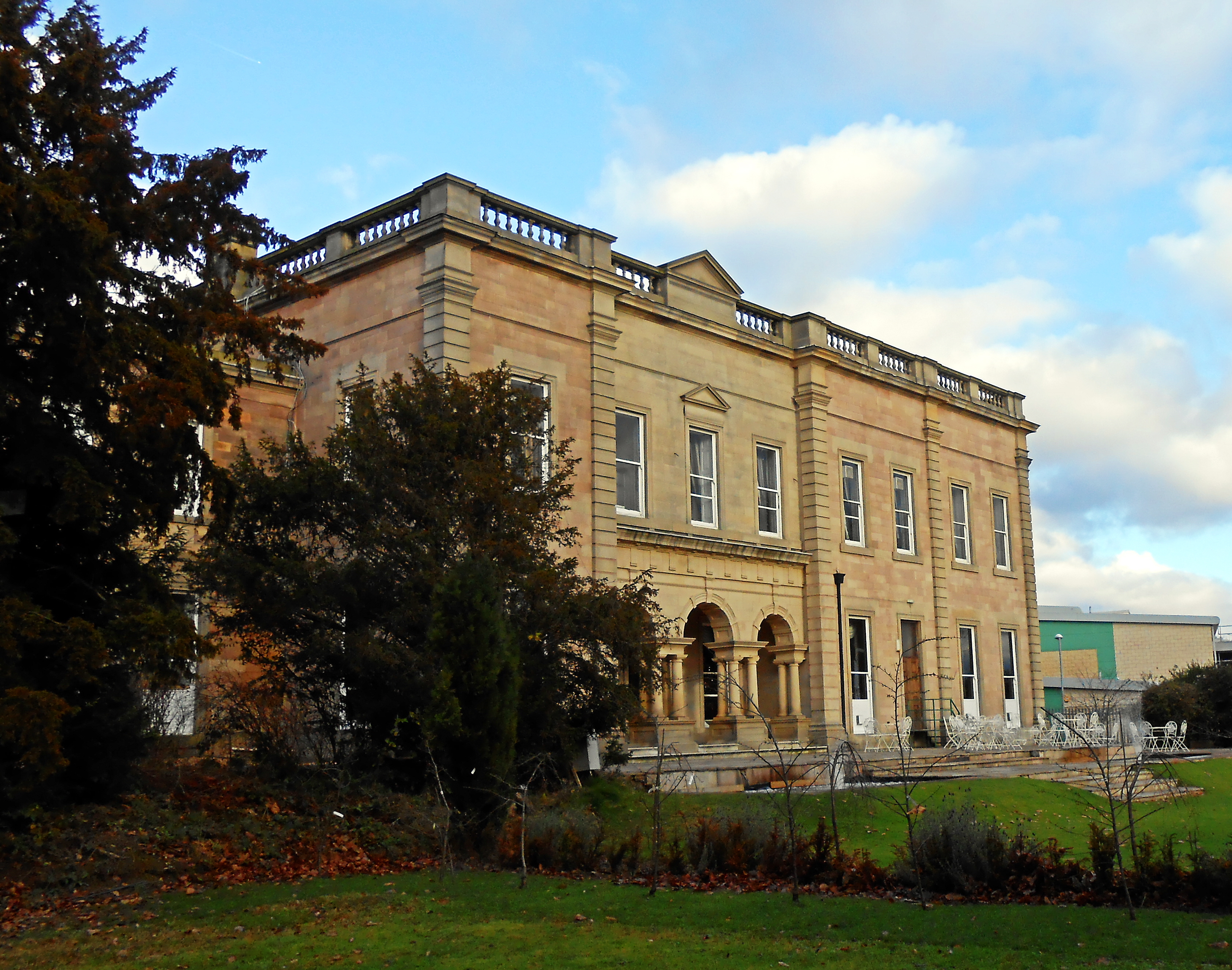
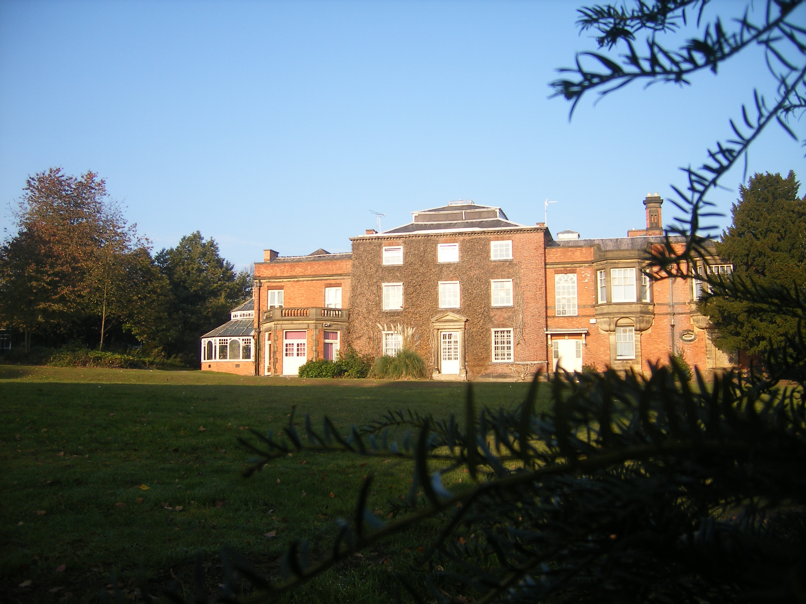
Alfreton Hall

Alfreton Hall is a country house in Alfreton, Derbyshire. It was at the heart of local social and industrial history in the county. The history of the...

Alfreton War Memorial

Alfreton War Memorial is a 20th-century grade II listed war memorial in Alfreton, Derbyshire. == History == The war memorial was unveiled on 31 July 1927...

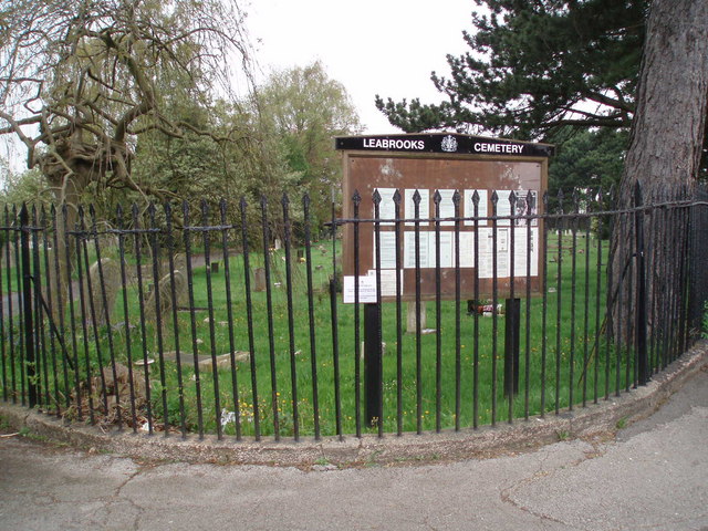
Leabrooks, Derbyshire

Leabrooks is a small urban locality in Derbyshire that merges with the village of Somercotes and the locality of Greenhill Lane. It is named after a stream...

Pentrich

Pentrich is a small village and civil parish between Belper and Alfreton in Amber Valley, Derbyshire, England. The population of the civil parish taken...

Wingfield railway station

Wingfield railway station served a rural area of Derbyshire, England between 1840 and 1967. Started in 2019, the building has been restored to how it looked...

Related Videos

Alfreton: A Short Walk

A short wallk, from the Alfreton to South Wingfield Walk I found online. The walk itself is 4 miles, so relatively short. I only managed ...

161: South Wingfield, Moorwood Moor and Wingfield Manor (Amber Valley 2021)

AMBER VALLEY WALK FEATURING SOUTH WINGFIELD, MOORWOOD MOOR AND WINGFIELD MANOR “South Wingfield, ...

Mcdonalds - Alfreton, Derby

Medium Fries, Millionaire Donut, and Caramel Latte ...living the dream.

Nearby Amenities

Located within 500m of 53.084959,-1.4063511
Motorway Junction
Alfreton Interchange
Lat/Long: 53.0875082/-1.4034586
Ele: 97.6989746
Lat/Long: 53.08921/-1.4067124
Ele: 97.6989746
Lat/Long: 53.089177/-1.4067352
Ele: 97.2182617
Lat/Long: 53.0891496/-1.406821
Ele: 97.6989746
Lat/Long: 53.0892982/-1.4066099
Ele: 97.4586182
Lat/Long: 53.0891367/-1.4068908
Ele: 97.2182617
Lat/Long: 53.0891304/-1.4069538
Ele: 97.6989746
Lat/Long: 53.0891551/-1.4070112
Ele: 103.4667969
Lat/Long: 53.0892488/-1.4076301
Ele: 98.4199219
Lat/Long: 53.0891175/-1.4089628
Ele: 99.6215820
Lat/Long: 53.0891761/-1.408839
Barrier: stile
Ele: 101.3038330
Lat/Long: 53.0888564/-1.4090982
Ele: 131.1044922
Lat/Long: 53.0843326/-1.4126807
Ele: 120.5300293
Lat/Long: 53.0860574/-1.4111351
Expressway: yes
Maxspeed: 70 mph
Maxspeed Type: GB:nsl_dual
Note: Hazard sign 'Queues likely on slip road'
Traffic Sign: GB:584;584.1[Queues likely on slip road]
Lat/Long: 53.0843376/-1.4082131
Power: pole
Lat/Long: 53.0864162/-1.4127785
Power: pole
Lat/Long: 53.0870106/-1.4114481
Power: pole
Lat/Long: 53.0875841/-1.4101124
Power: pole
Lat/Long: 53.088222/-1.4086962
Power: pole
Lat/Long: 53.0887898/-1.4074489
Power: pole
Lat/Long: 53.0892989/-1.4062527
The data included in this document is from www.openstreetmap.org. The data is made available under ODbL.

Have you been to Bowley Wood?

Leave your review of Bowley Wood below (or comments, questions and feedback).