Alders Wood

Wood, Forest in Derbyshire North East Derbyshire

England

Alders Wood

Cattle on the side of South Hill Looking up to the southern end of the South Hill ridge.
Cattle on the side of South Hill Credit: Bill Boaden

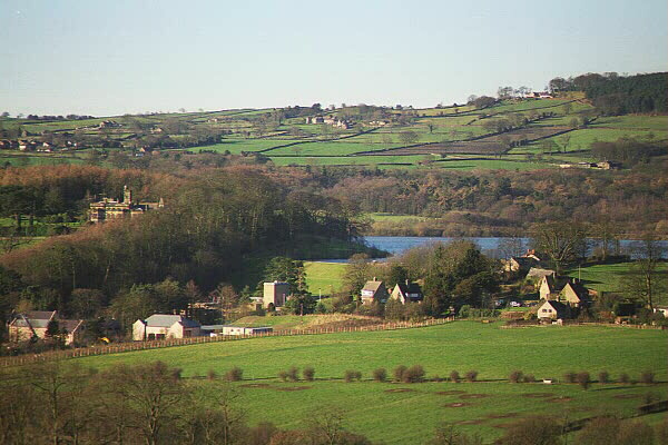
Alders Wood is a picturesque forest located in Derbyshire, England. Covering an area of approximately 100 acres, this enchanting wood is known for its dense population of alder trees, giving it its name. The forest is nestled within the rolling hills and valleys of Derbyshire, providing visitors with a tranquil and serene escape from the bustling city life.

The woodland is home to a diverse range of flora and fauna, making it a haven for nature lovers and wildlife enthusiasts. The canopy of alder trees creates a cool and shaded environment, perfect for various species of birds, squirrels, and other small mammals. The forest floor is adorned with a carpet of bluebells during the spring months, creating a breathtaking display of color and fragrance.

Several walking trails wind their way through Alders Wood, offering visitors the opportunity to explore its natural beauty at their own pace. These paths lead to hidden clearings and secluded areas, where one can immerse themselves in the peaceful ambiance of the forest. Along the way, informative signboards provide interesting facts about the local ecosystem and the history of the wood, adding an educational element to the experience.

Alders Wood is a popular destination for both locals and tourists alike, drawing visitors throughout the year. Whether it's a leisurely stroll, a family picnic, or a chance to observe wildlife in its natural habitat, this idyllic woodland provides a welcome respite from the hustle and bustle of daily life.

If you have any feedback on the listing, please let us know in the comments section below.
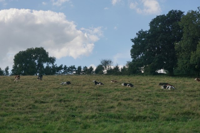
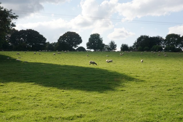
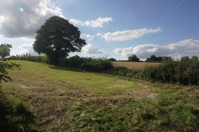
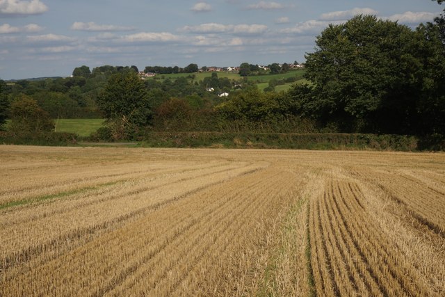
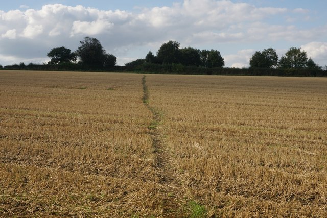
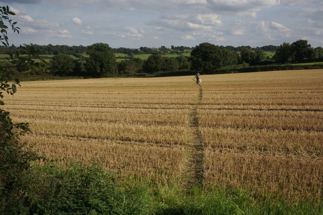
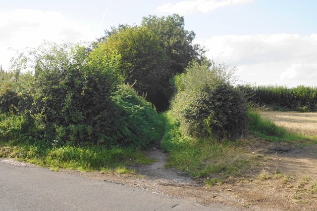
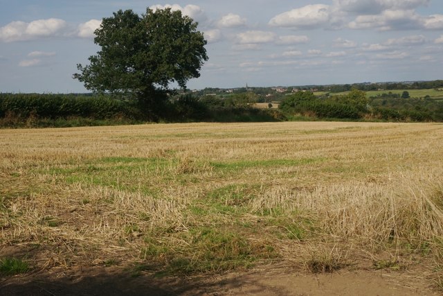
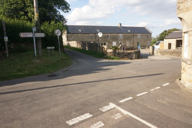
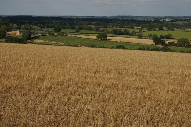
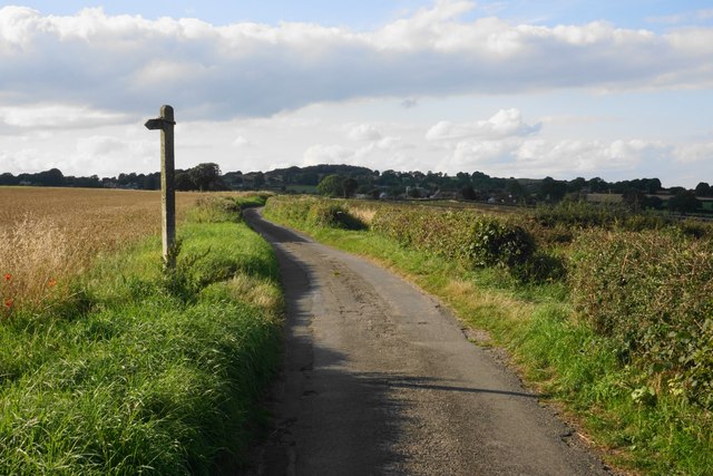
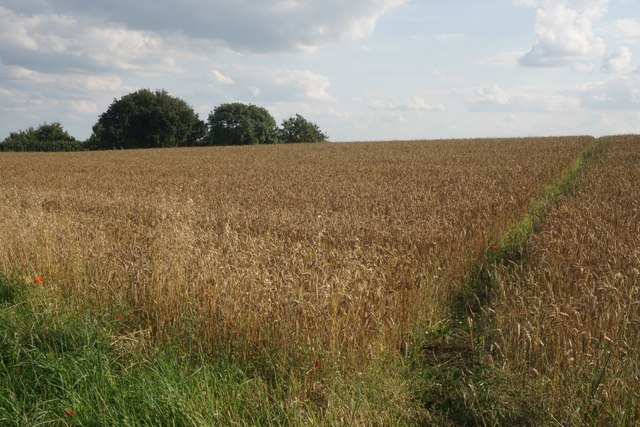
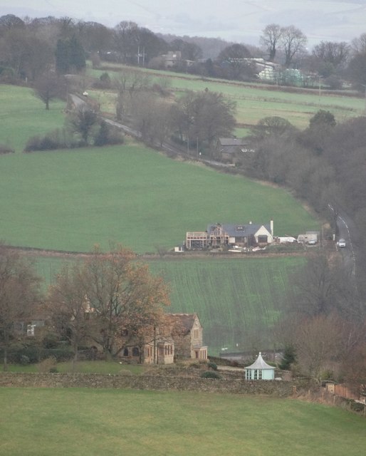
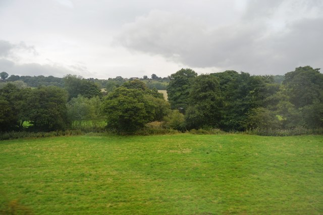
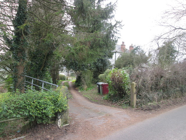
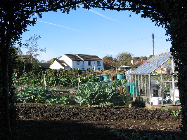
Alders Wood Images

Images are sourced within 2km of 53.141295/-1.4456545 or Grid Reference SK3760. Thanks to Geograph Open Source API. All images are credited.

Cattle on the side of South Hill Looking up to the southern end of the South Hill ridge.
Cattle on the side of South Hill
Looking up to the southern end of the South Hill ridge.
Footpath to Mickley Estate Houses lining the A61 can be seen on the far hill. In between is the valley of Smithy Brook.
Footpath to Mickley Estate
Houses lining the A61 can be seen on the far hill. In between is the valley of Smithy Brook.
Field of sheep on South Hill The eastern side of the South Hill ridge.
Field of sheep on South Hill
The eastern side of the South Hill ridge.
Footpath on South Hill The footpath originally cut off this corner of the field and is still marked as such on the OS map. However that part of the path no longer exists and you have to use the field entrance where I am standing.
Footpath on South Hill
The footpath originally cut off this corner of the field and is still marked as such on the OS map. However that part of the path no longer exists and you have to use the field entrance where I am standing.
Harvested field on South Hill Stretton is seen on the far hill, on the other side of the valley of Smithy Brook.
Harvested field on South Hill
Stretton is seen on the far hill, on the other side of the valley of Smithy Brook.
Footpath towards Handley Crossing a harvested field at the northern end of South Hill.
Footpath towards Handley
Crossing a harvested field at the northern end of South Hill.
Footpath on South Hill The South Hill ridge continues further up to the right. On the far hill are some houses at Mickley on the A61.
Footpath on South Hill
The South Hill ridge continues further up to the right. On the far hill are some houses at Mickley on the A61.
Bridleway to Handley This route appears on older OS maps as a yellow road. It has clearly fallen into disrepair and is not maintained.
Bridleway to Handley
This route appears on older OS maps as a yellow road. It has clearly fallen into disrepair and is not maintained.
Harvested field on Smithy Moor In the far centre is the spire of St Bartholomew's Church in Clay Cross.
Harvested field on Smithy Moor
In the far centre is the spire of St Bartholomew's Church in Clay Cross.
Crossroads at Handley Handley is a very small hamlet on a ridge between Clay Cross and Ashover.
Crossroads at Handley
Handley is a very small hamlet on a ridge between Clay Cross and Ashover.
Barley field by Woodhead Lane Woodhead Lane runs along a ridge with extensive views to the east around Clay Cross and the upper catchment area of the River Rother. Stretton Hall Farm is seen to the left.
Barley field by Woodhead Lane
Woodhead Lane runs along a ridge with extensive views to the east around Clay Cross and the upper catchment area of the River Rother. Stretton Hall Farm is seen to the left.
Woodhead Lane The lane climbs along a ridge which leads up to Farhill. There are quite extensive views to the right from here.
Woodhead Lane
The lane climbs along a ridge which leads up to Farhill. There are quite extensive views to the right from here.
Footpath to Ridgewell Farm Crossing the top of the ridge. This path disappears when the field is ploughed, and when it reappears  it does not always follow exactly the same route through the field.
Footpath to Ridgewell Farm
Crossing the top of the ridge. This path disappears when the field is ploughed, and when it reappears it does not always follow exactly the same route through the field.
Poppy in a wheat field Several poppies were growing along the edge of the wheat field and were visible from Woodhead Lane.
Poppy in a wheat field
Several poppies were growing along the edge of the wheat field and were visible from Woodhead Lane.
Altercation between swallows The one on the wire responded noisily. A few others were using the same telegraph wire.
Altercation between swallows
The one on the wire responded noisily. A few others were using the same telegraph wire.
View to Ashover Hay From Highoredish Ridge
View to Ashover Hay
From Highoredish Ridge
Trees along Smithy Brook
Isolated house near Dicklant
Show me another place!

Alders Wood is located at Grid Ref: SK3760 (Lat: 53.141295, Lng: -1.4456545)

Administrative County: Derbyshire

District: North East Derbyshire

Police Authority: Derbyshire

What 3 Words

///pursue.microfilm.mason. Near Shirland, Derbyshire

Related Wikis

Woolley railway station

Woolley railway station was a small station on the Ashover Light Railway and it served the small village of Woolley Moor in North East Derbyshire, England...

Ashover Light Railway

The Ashover Light Railway was a 1 ft 11+1⁄2 in (597 mm) narrow gauge railway in Derbyshire, England that connected Clay Cross and Ashover. It was built...

Hurst Lane railway station

Hurst Lane railway station served the hamlet of Ogston, North East Derbyshire, England, from 1925 to 1936 on the Ashover Light Railway. == History == The...

Ogston Reservoir

Ogston Reservoir is a reservoir operated by Severn Trent Water in Derbyshire. It is near the villages of Brackenfield and Ashover and the town of Clay...

Woolley Moor

Woolley Moor is a small village in the North East Derbyshire district of Derbyshire, England. Its amenities include a school, a church and a public house...

Ogston Hall

Ogston Hall is a privately owned 18th-century country house situated at Brackenfield, near Alfreton, Derbyshire. It is a Grade II* listed building. A building...

Brackenfield

Brackenfield is a village and civil parish in the North East Derbyshire district of Derbyshire, England. The population of the civil parish as of the 2011...

Dale Bank railway station

Dale Bank railway station served the hamlet of Dalebank, Derbyshire, England, from 1925 to 1936 on the Ashover Light Railway. == History == The station...

Nearby Amenities

Located within 500m of 53.141295,-1.4456545
Woolley
Is In: Derbyshire, England, UK
Place: hamlet
Lat/Long: 53.1397891/-1.4444871
Barrier: stile
Lat/Long: 53.1455092/-1.445635
Bench
Backrest: yes
Lat/Long: 53.1439952/-1.4478619
Barrier: kissing_gate
Lat/Long: 53.1428763/-1.4507442
Ele: 139.5158691
Lat/Long: 53.1395897/-1.4465383
Ele: 144.0822754
Lat/Long: 53.1394221/-1.4472971
Ele: 148
Lat/Long: 53.1386431/-1.4483537
Ele: 160.9051514
Lat/Long: 53.1386344/-1.4506144
Ele: 115
Lat/Long: 53.1372425/-1.4436827
Ele: 153
Lat/Long: 53.1384743/-1.4481188
Ele: 151
Lat/Long: 53.1383382/-1.4476601
Ele: 152.0000000
Lat/Long: 53.1394518/-1.4474913
Ele: 153.0000000
Lat/Long: 53.1395084/-1.4479184
Ele: 159.0000000
Lat/Long: 53.1393197/-1.4496949
Barrier: stile
Ele: 149.0000000
Material: stone
Stile: squeezer
Lat/Long: 53.1393511/-1.4496801
Barrier: stile
Ele: 148.0000000
Steps: 1
Stile: stepover
Lat/Long: 53.1393672/-1.4496707
Ele: 165.0000000
Lat/Long: 53.1388354/-1.4508723
Ele: 165.0000000
Lat/Long: 53.1388933/-1.4509019
Barrier: stile
Ele: 163.0000000
Steps: 2
Stile: stepover
Lat/Long: 53.1391106/-1.4509407
Ele: 163.0000000
Lat/Long: 53.1391395/-1.4509448
Ele: 131.0000000
Lat/Long: 53.1402549/-1.448691
Barrier: stile
Ele: 124.0000000
Steps: 1
Stile: stepover
Lat/Long: 53.1409466/-1.4489601
Post Box
Ele: 124.0000000
Ref: DE55 234
Lat/Long: 53.1399694/-1.4449484
Ele: 116
Lat/Long: 53.1377675/-1.4436488
Ele: 117
Lat/Long: 53.1382961/-1.443791
Bench
Backrest: yes
Lat/Long: 53.1447752/-1.4447048
Bus Stop
Bus: yes
Public Transport: platform
Lat/Long: 53.1442012/-1.4472586
The data included in this document is from www.openstreetmap.org. The data is made available under ODbL.

Have you been to Alders Wood?

Leave your review of Alders Wood below (or comments, questions and feedback).