Holme Bank Wood

Wood, Forest in Yorkshire Harrogate

England

Holme Bank Wood

Topcliffe, Salmon Hall The benchmark is cut into the north face of Salmon Hall.
Topcliffe, Salmon Hall Credit: Mel Towler

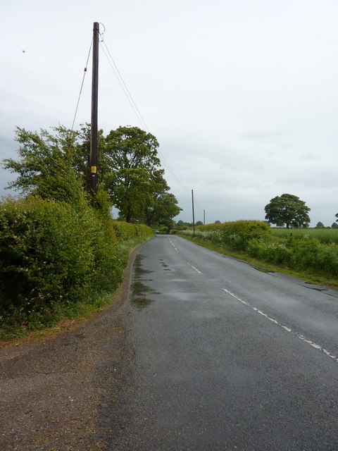
Holme Bank Wood is a picturesque woodland located in Yorkshire, England. It covers an area of approximately 50 acres and is a popular destination for nature enthusiasts and outdoor lovers. The wood is situated near the village of Holme-on-Spalding-Moor and is easily accessible by car or public transportation.

The wood is primarily composed of native broadleaf trees such as oak, ash, and birch, creating a diverse and vibrant ecosystem. The canopy of the trees provides shade and shelter for a variety of flora and fauna that call the wood their home. Visitors to Holme Bank Wood can expect to see an array of wildlife, including squirrels, badgers, foxes, and numerous species of birds.

The wood offers several well-maintained walking trails, allowing visitors to explore its natural beauty at their own pace. The paths wind through the woodland, leading to tranquil ponds, open meadows, and hidden clearings. These peaceful spots are perfect for picnics or simply enjoying the serenity of nature.

Holme Bank Wood is also known for its springtime display of wildflowers, which carpet the forest floor in vibrant colors. Bluebells, primroses, and wood anemones are just a few of the delightful blooms that can be spotted during this time of year.

For those interested in history, the wood has remnants of an old mill and quarry, providing a glimpse into its industrial past. There are also information boards scattered throughout the wood, offering insight into its ecological importance and the various species that inhabit it.

Overall, Holme Bank Wood is a charming woodland retreat that offers peace, tranquility, and a chance to connect with nature in the heart of Yorkshire.

If you have any feedback on the listing, please let us know in the comments section below.

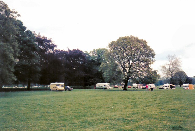
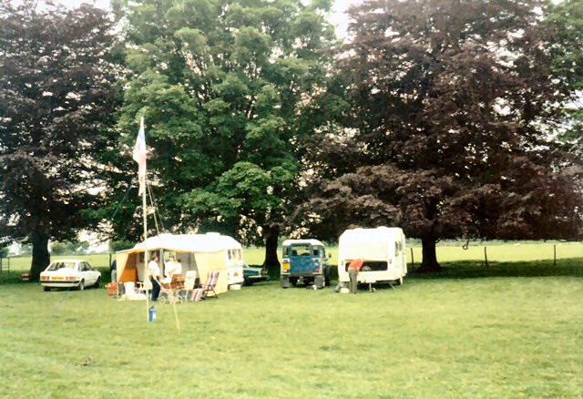
Holme Bank Wood Images

Images are sourced within 2km of 54.185741/-1.4317983 or Grid Reference SE3776. Thanks to Geograph Open Source API. All images are credited.

Topcliffe, Salmon Hall The benchmark is cut into the north face of Salmon Hall.
Topcliffe, Salmon Hall
The benchmark is cut into the north face of Salmon Hall.
Topcliffe, Salmon Hall There is a benchmark cut into the north facing wall of Salmon Hall.
Topcliffe, Salmon Hall
There is a benchmark cut into the north facing wall of Salmon Hall.
Catton, Catton Lane According to the OS database the gatepost at this field entrance had a benchmark cut into one of the posts. Today wooden gateposts are in place.
Catton, Catton Lane
According to the OS database the gatepost at this field entrance had a benchmark cut into one of the posts. Today wooden gateposts are in place.
Baldersby St James church The benchmark is cut into a south facing wall of the church.
Baldersby St James church
The benchmark is cut into a south facing wall of the church.
Baldersby St James church There is a benchmark cut into the south facing wall of the church. It is located on the first buttress to the right of the church tower, immediately right of the drainpipe.
Baldersby St James church
There is a benchmark cut into the south facing wall of the church. It is located on the first buttress to the right of the church tower, immediately right of the drainpipe.
Rainton, Bay Horse Inn The benchmark is cut into the gable end of the village pub <a title="https://www.geograph.org.uk/photo/7116958" href="https://www.geograph.org.uk/photo/7116958">Link</a>.
Rainton, Bay Horse Inn
The benchmark is cut into the gable end of the village pub Link.
Rainton, Bay Horse Inn There is a benchmark <a title="https://www.geograph.org.uk/photo/7116955" href="https://www.geograph.org.uk/photo/7116955">Link</a> cut into the gable end of the village pub. It is below the Car Park sign attached to the wall.
Rainton, Bay Horse Inn
There is a benchmark Link cut into the gable end of the village pub. It is below the Car Park sign attached to the wall.
Rainton, private house The benchmark is cut into a left hand cornerstone of a private house which has been an agricultural barn.
Rainton, private house
The benchmark is cut into a left hand cornerstone of a private house which has been an agricultural barn.
Rainton, private house There is a benchmark cut into a left hand cornerstone of the private house which has been converted from an agricultural barn. The benchmark is to the left of the drainpipe.
Rainton, private house
There is a benchmark cut into a left hand cornerstone of the private house which has been converted from an agricultural barn. The benchmark is to the left of the drainpipe.
Rainton, Back Lane
Rainton, Back Lane
Building on the north side of Wide Howe Lane
Wide Howe Lane towards Baldersby St James
Baldersby Park A weekend caravan rally at Baldersby Park.
Baldersby Park
A weekend caravan rally at Baldersby Park.
Baldersby Park A weekend caravan rally at Baldersby Park.
Baldersby Park
A weekend caravan rally at Baldersby Park.
A61 crosses the new A1(M)
Fell Bridge A small sandstone bridge on the road to Rainton.
Fell Bridge
A small sandstone bridge on the road to Rainton.
Over-grown Stream Mother Sike, a small stream that flows under Fell Bridge. It flows south, finally joining the River Swale at Thornton Bridge (SE 4171).
Over-grown Stream
Mother Sike, a small stream that flows under Fell Bridge. It flows south, finally joining the River Swale at Thornton Bridge (SE 4171).
Show me another place!

Holme Bank Wood is located at Grid Ref: SE3776 (Lat: 54.185741, Lng: -1.4317983)

Division: North Riding

Administrative County: North Yorkshire

District: Harrogate

Police Authority: North Yorkshire

What 3 Words

///rear.stalemate.blurs. Near Thirsk, North Yorkshire

Nearby Locations

Holme Bank Wood

Related Wikis

Baldersby St James

Baldersby St James is a village in the Harrogate district of North Yorkshire, England. Several notable buildings in the village were commissioned by Viscount...

Catton, North Yorkshire

Catton is a village and civil parish in the Hambleton District of North Yorkshire, England. It is situated between Thirsk and Ripon, on the River Swale...

Rainton

Rainton is a village in the Harrogate borough of North Yorkshire, England. It is situated about 6 miles (9.7 km) north of Boroughbridge, 5 miles (8 km...

Queen Mary's School

Queen Mary's School is a private day and boarding school for girls in Baldersby Park near Topcliffe, between Ripon and Thirsk in North Yorkshire, England...

Have you been to Holme Bank Wood?

Leave your review of Holme Bank Wood below (or comments, questions and feedback).