Ogston

Settlement in Derbyshire North East Derbyshire

England

Ogston

Cattle on the side of South Hill Looking up to the southern end of the South Hill ridge.
Cattle on the side of South Hill Credit: Bill Boaden

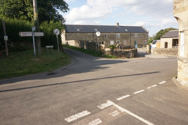
Ogston is a small village located in the county of Derbyshire, England. Situated approximately 3 miles southwest of Clay Cross and 10 miles east of Chesterfield, Ogston is nestled in a picturesque countryside setting. The village falls within the North East Derbyshire district and has a population of around 700 residents.

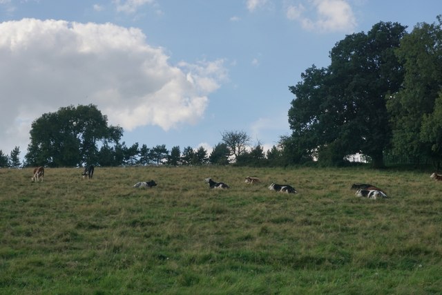
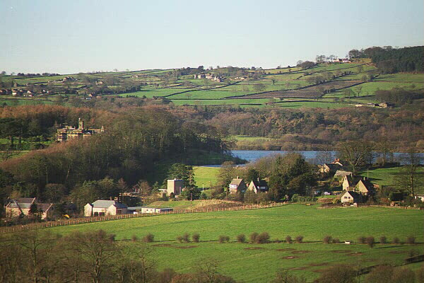
One of the notable features of Ogston is the Ogston Reservoir, which is located to the east of the village. The reservoir covers an area of about 200 acres and is a popular spot for birdwatching and fishing. It is home to a variety of bird species, including great crested grebes, herons, and ospreys, making it a haven for wildlife enthusiasts.

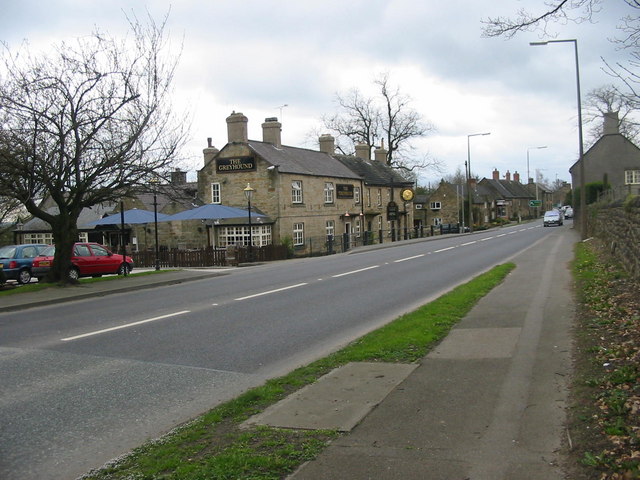
The village itself is characterized by its charming stone-built cottages and traditional architecture. It offers a peaceful and tranquil environment, ideal for those seeking a rural retreat. There are a few amenities available in the village, including a village hall and a local pub.

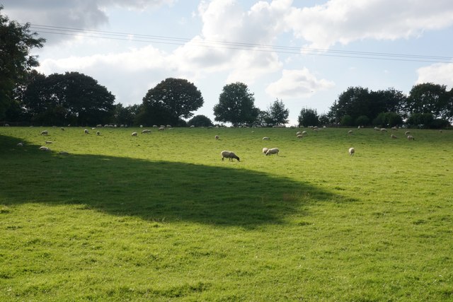
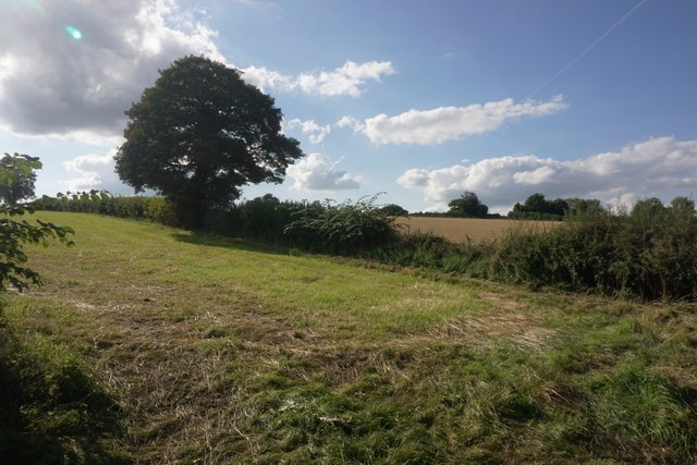
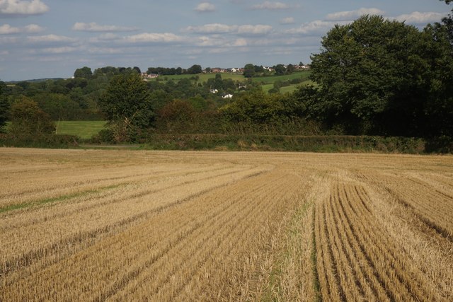
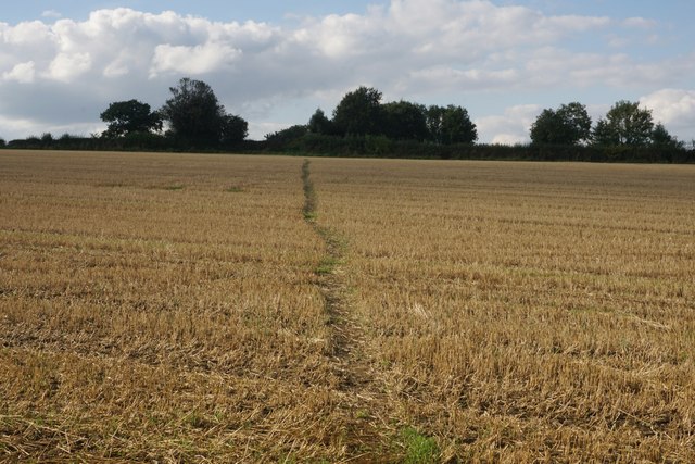
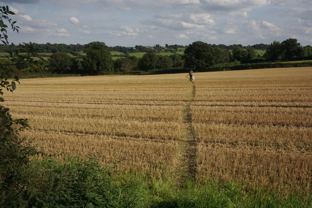
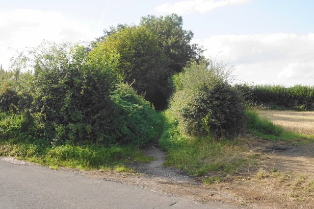
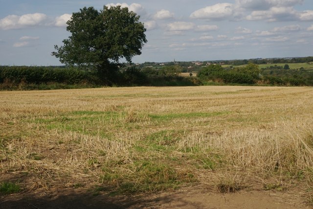
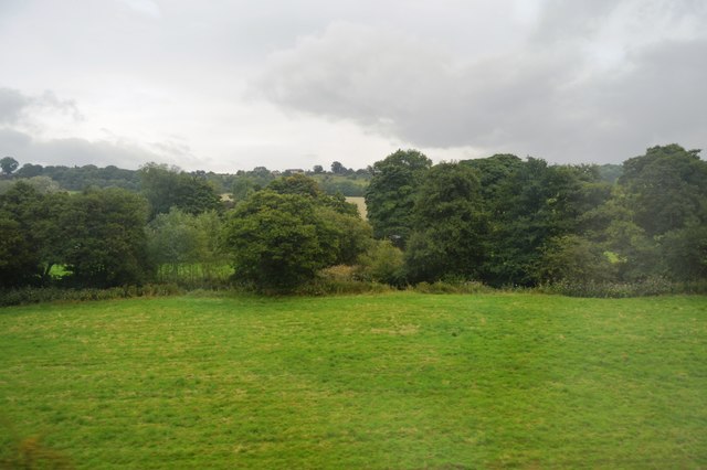
Ogston is surrounded by beautiful countryside, providing opportunities for outdoor activities such as walking, cycling, and horse riding. The nearby Peak District National Park offers stunning landscapes and is a short drive away, making it easily accessible for residents and visitors alike.

Overall, Ogston is a quintessential English village, offering a peaceful escape from the hustle and bustle of city life. With its natural beauty and rural charm, it is a delightful place to visit or call home.

If you have any feedback on the listing, please let us know in the comments section below.

Ogston Images

Images are sourced within 2km of 53.136207/-1.4341654 or Grid Reference SK3760. Thanks to Geograph Open Source API. All images are credited.

Cattle on the side of South Hill Looking up to the southern end of the South Hill ridge.
Cattle on the side of South Hill
Looking up to the southern end of the South Hill ridge.
Footpath to Mickley Estate Houses lining the A61 can be seen on the far hill. In between is the valley of Smithy Brook.
Footpath to Mickley Estate
Houses lining the A61 can be seen on the far hill. In between is the valley of Smithy Brook.
Field of sheep on South Hill The eastern side of the South Hill ridge.
Field of sheep on South Hill
The eastern side of the South Hill ridge.
Footpath on South Hill The footpath originally cut off this corner of the field and is still marked as such on the OS map. However that part of the path no longer exists and you have to use the field entrance where I am standing.
Footpath on South Hill
The footpath originally cut off this corner of the field and is still marked as such on the OS map. However that part of the path no longer exists and you have to use the field entrance where I am standing.
Harvested field on South Hill Stretton is seen on the far hill, on the other side of the valley of Smithy Brook.
Harvested field on South Hill
Stretton is seen on the far hill, on the other side of the valley of Smithy Brook.
Footpath towards Handley Crossing a harvested field at the northern end of South Hill.
Footpath towards Handley
Crossing a harvested field at the northern end of South Hill.
Footpath on South Hill The South Hill ridge continues further up to the right. On the far hill are some houses at Mickley on the A61.
Footpath on South Hill
The South Hill ridge continues further up to the right. On the far hill are some houses at Mickley on the A61.
Bridleway to Handley This route appears on older OS maps as a yellow road. It has clearly fallen into disrepair and is not maintained.
Bridleway to Handley
This route appears on older OS maps as a yellow road. It has clearly fallen into disrepair and is not maintained.
Harvested field on Smithy Moor In the far centre is the spire of St Bartholomew's Church in Clay Cross.
Harvested field on Smithy Moor
In the far centre is the spire of St Bartholomew's Church in Clay Cross.
Crossroads at Handley Handley is a very small hamlet on a ridge between Clay Cross and Ashover.
Crossroads at Handley
Handley is a very small hamlet on a ridge between Clay Cross and Ashover.
Rescued signpost at Northedge Farm Off Mickley Lane
Rescued signpost at Northedge Farm
Off Mickley Lane
Trees along Smithy Brook
Ogsten reservoir View from Woodland Trust wood alongside minor road
Ogsten reservoir
View from Woodland Trust wood alongside minor road
Old Milepost by the A61, Main Road, Stretton Cast iron post by the A61, in parish of Shirland and Higham (North East Derbyshire District), Main Road, Stretton, opposite Hilltop Farmhouse, near junction with Morton Road, behind metal rails in hedge, on West side of road. Haywood iron casting, erected by the Duffield & Sheffield turnpike trust in the 19th century. 

Inscription reads:-
: CLAY CROSS / 1 MILES / CHESTERFIELD / 6 MILES / DRONFIELD / 12 MILES / SHEFFIELD / 18 MILES : : TOWNSHIP / OF / HIGHAM : : DERBY / 17 MILES :
Maker:-
: J. HAYWOOD JUNᴿ. / PHOENIX FOUNDRY / DERBY :

Grade II listed.
List Entry Number: 1158838 <span class="nowrap"><a title="https://historicengland.org.uk/listing/the-list/list-entry/1158838" rel="nofollow ugc noopener" href="https://historicengland.org.uk/listing/the-list/list-entry/1158838">Link</a><img style="margin-left:2px;" alt="External link" title="External link - shift click to open in new window" src="https://s1.geograph.org.uk/img/external.png" width="10" height="10"/></span>

Milestone Society National ID: DE_DECF17
Old Milepost by the A61, Main Road, Stretton
Cast iron post by the A61, in parish of Shirland and Higham (North East Derbyshire District), Main Road, Stretton, opposite Hilltop Farmhouse, near junction with Morton Road, behind metal rails in hedge, on West side of road. Haywood iron casting, erected by the Duffield & Sheffield turnpike trust in the 19th century. Inscription reads:- : CLAY CROSS / 1 MILES / CHESTERFIELD / 6 MILES / DRONFIELD / 12 MILES / SHEFFIELD / 18 MILES : : TOWNSHIP / OF / HIGHAM : : DERBY / 17 MILES : Maker:- : J. HAYWOOD JUNᴿ. / PHOENIX FOUNDRY / DERBY : Grade II listed. List Entry Number: 1158838 LinkExternal link Milestone Society National ID: DE_DECF17
Ogston reservoir. Starting/finishing point for our walk with the Ramblers.
Ogston reservoir.
Starting/finishing point for our walk with the Ramblers.
Sailing and Wind-surfing With only a slight breeze the boats and wind-surf boards were not moving very rapidly.
Sailing and Wind-surfing
With only a slight breeze the boats and wind-surf boards were not moving very rapidly.
Field east of the A61, Stretton
Short link road off the A61, Stretton Allowing left turning traffic from the B6014 to cut off a corner.
Short link road off the A61, Stretton
Allowing left turning traffic from the B6014 to cut off a corner.
Show me another place!

Ogston is located at Grid Ref: SK3760 (Lat: 53.136207, Lng: -1.4341654)

Administrative County: Derbyshire

District: North East Derbyshire

Police Authority: Derbyshire

What 3 Words

///sedated.feasted.tempting. Near Shirland, Derbyshire

Related Wikis

Ogston Reservoir

Ogston Reservoir is a reservoir operated by Severn Trent Water in Derbyshire. It is near the villages of Brackenfield and Ashover and the town of Clay...

Ogston Hall

Ogston Hall is a privately owned 18th-century country house situated at Brackenfield, near Alfreton, Derbyshire. It is a Grade II* listed building. A building...

Hurst Lane railway station

Hurst Lane railway station served the hamlet of Ogston, North East Derbyshire, England, from 1925 to 1936 on the Ashover Light Railway. == History == The...

Brackenfield

Brackenfield is a village and civil parish in the North East Derbyshire district of Derbyshire, England. The population of the civil parish as of the 2011...

Woolley railway station

Woolley railway station was a small station on the Ashover Light Railway and it served the small village of Woolley Moor in North East Derbyshire, England...

Ashover Light Railway

The Ashover Light Railway was a 1 ft 11+1⁄2 in (597 mm) narrow gauge railway in Derbyshire, England that connected Clay Cross and Ashover. It was built...

Stretton railway station

Stretton railway station was a railway station at Stretton, Derbyshire, England built by the North Midland Railway. == History == Stretton station was...

Higham, Derbyshire

Higham is a small village in Derbyshire, England. It is on the B6013 and A61 roads. Nearby settlements include Shirland, Stretton, Alfreton and Clay Cross...

Nearby Amenities

Located within 500m of 53.136207,-1.4341654
Ele: 102
Lat/Long: 53.1355069/-1.4317846
The data included in this document is from www.openstreetmap.org. The data is made available under ODbL.

Have you been to Ogston?

Leave your review of Ogston below (or comments, questions and feedback).