South Hill

Hill, Mountain in Derbyshire North East Derbyshire

England

South Hill

Cattle on the side of South Hill Looking up to the southern end of the South Hill ridge.
Cattle on the side of South Hill Credit: Bill Boaden

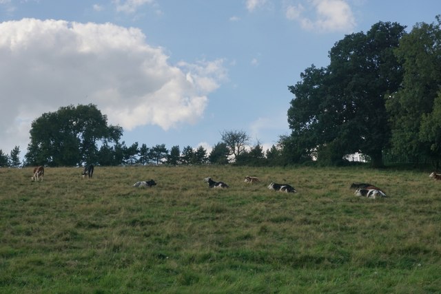
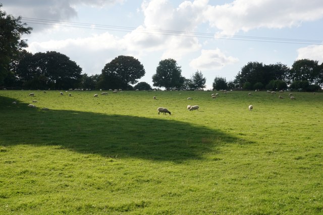
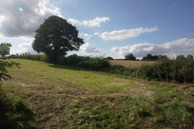
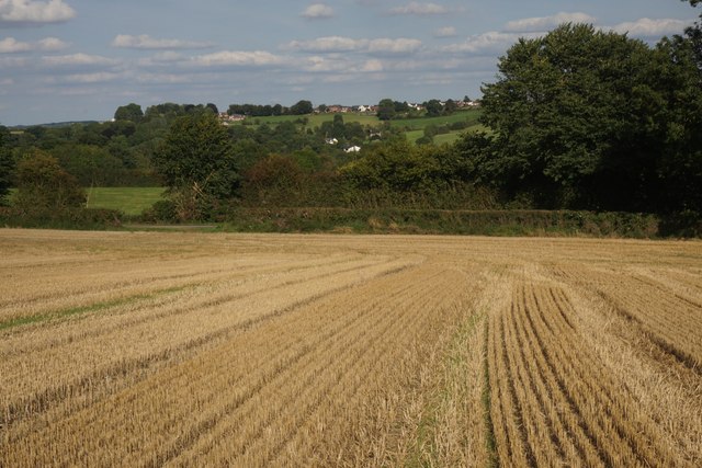
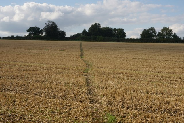
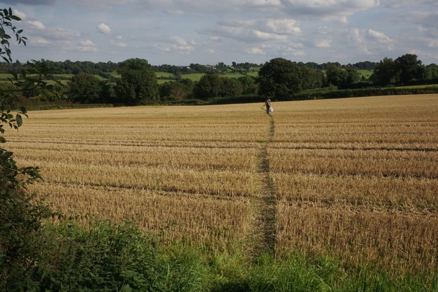
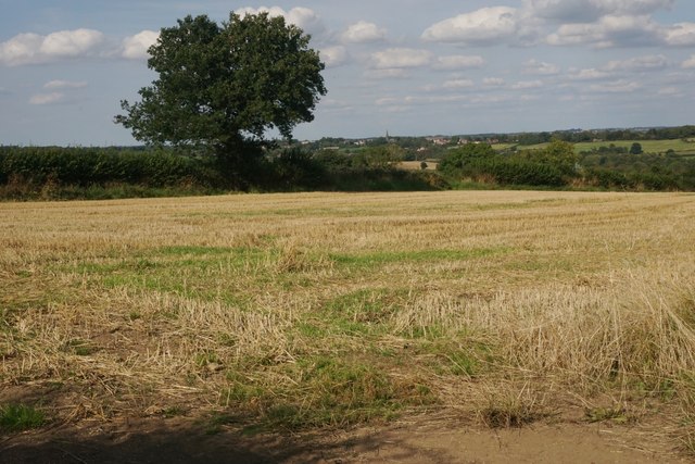
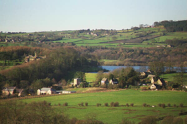
South Hill, located in Derbyshire, England, is a prominent hill that stands at an elevation of approximately 450 meters above sea level. It is situated within the picturesque Peak District National Park, known for its stunning landscapes and rugged beauty. South Hill is part of a range of hills that form the southern boundary of the park, offering breathtaking panoramic views of the surrounding countryside.

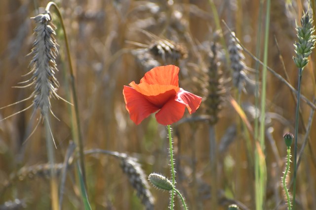
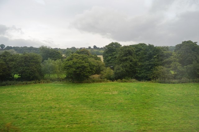
Covered in lush greenery, South Hill is a haven for nature enthusiasts and hikers alike. Its slopes are adorned with heather, grasses, and a variety of wildflowers, creating a vibrant and colorful scene throughout the year. The hill is also home to an array of wildlife, including various bird species, rabbits, and deer, making it an ideal spot for wildlife enthusiasts to observe and appreciate nature.

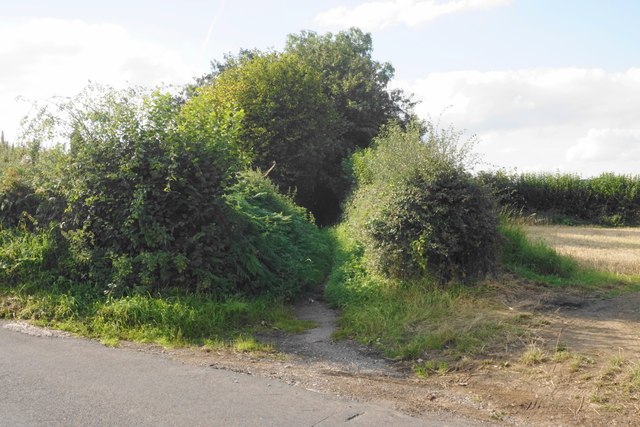
The hill is easily accessible, with well-maintained footpaths and trails leading to its summit. These paths cater to both casual walkers and more experienced hikers, offering a range of difficulty levels. As visitors ascend the hill, they are rewarded with breathtaking vistas of the surrounding countryside, including nearby villages, rolling hills, and distant peaks.

South Hill is a popular destination for outdoor activities such as walking, hiking, and picnicking. Its tranquil atmosphere and natural beauty make it an ideal location for visitors seeking to escape the hustle and bustle of city life. Whether it's a leisurely stroll or a challenging hike, South Hill provides a serene and rejuvenating experience for all who venture to its heights.

If you have any feedback on the listing, please let us know in the comments section below.
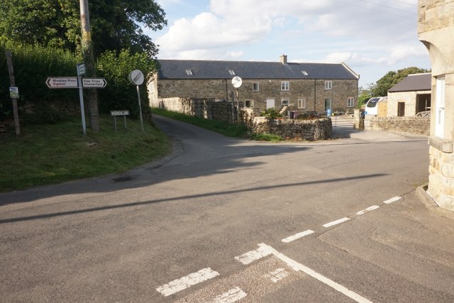
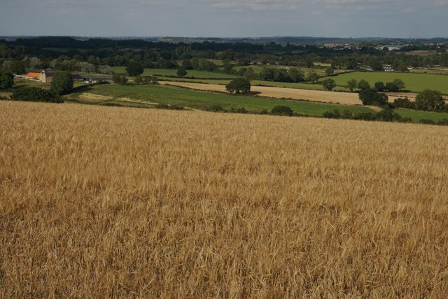
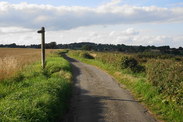
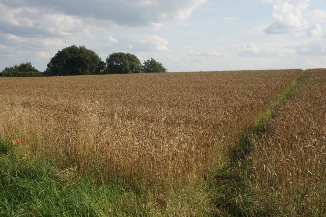
South Hill Images

Images are sourced within 2km of 53.142496/-1.4335296 or Grid Reference SK3760. Thanks to Geograph Open Source API. All images are credited.

Cattle on the side of South Hill Looking up to the southern end of the South Hill ridge.
Cattle on the side of South Hill
Looking up to the southern end of the South Hill ridge.
Footpath to Mickley Estate Houses lining the A61 can be seen on the far hill. In between is the valley of Smithy Brook.
Footpath to Mickley Estate
Houses lining the A61 can be seen on the far hill. In between is the valley of Smithy Brook.
Field of sheep on South Hill The eastern side of the South Hill ridge.
Field of sheep on South Hill
The eastern side of the South Hill ridge.
Footpath on South Hill The footpath originally cut off this corner of the field and is still marked as such on the OS map. However that part of the path no longer exists and you have to use the field entrance where I am standing.
Footpath on South Hill
The footpath originally cut off this corner of the field and is still marked as such on the OS map. However that part of the path no longer exists and you have to use the field entrance where I am standing.
Harvested field on South Hill Stretton is seen on the far hill, on the other side of the valley of Smithy Brook.
Harvested field on South Hill
Stretton is seen on the far hill, on the other side of the valley of Smithy Brook.
Footpath towards Handley Crossing a harvested field at the northern end of South Hill.
Footpath towards Handley
Crossing a harvested field at the northern end of South Hill.
Footpath on South Hill The South Hill ridge continues further up to the right. On the far hill are some houses at Mickley on the A61.
Footpath on South Hill
The South Hill ridge continues further up to the right. On the far hill are some houses at Mickley on the A61.
Bridleway to Handley This route appears on older OS maps as a yellow road. It has clearly fallen into disrepair and is not maintained.
Bridleway to Handley
This route appears on older OS maps as a yellow road. It has clearly fallen into disrepair and is not maintained.
Harvested field on Smithy Moor In the far centre is the spire of St Bartholomew's Church in Clay Cross.
Harvested field on Smithy Moor
In the far centre is the spire of St Bartholomew's Church in Clay Cross.
Crossroads at Handley Handley is a very small hamlet on a ridge between Clay Cross and Ashover.
Crossroads at Handley
Handley is a very small hamlet on a ridge between Clay Cross and Ashover.
Barley field by Woodhead Lane Woodhead Lane runs along a ridge with extensive views to the east around Clay Cross and the upper catchment area of the River Rother. Stretton Hall Farm is seen to the left.
Barley field by Woodhead Lane
Woodhead Lane runs along a ridge with extensive views to the east around Clay Cross and the upper catchment area of the River Rother. Stretton Hall Farm is seen to the left.
Woodhead Lane The lane climbs along a ridge which leads up to Farhill. There are quite extensive views to the right from here.
Woodhead Lane
The lane climbs along a ridge which leads up to Farhill. There are quite extensive views to the right from here.
Footpath to Ridgewell Farm Crossing the top of the ridge. This path disappears when the field is ploughed, and when it reappears  it does not always follow exactly the same route through the field.
Footpath to Ridgewell Farm
Crossing the top of the ridge. This path disappears when the field is ploughed, and when it reappears it does not always follow exactly the same route through the field.
Poppy in a wheat field Several poppies were growing along the edge of the wheat field and were visible from Woodhead Lane.
Poppy in a wheat field
Several poppies were growing along the edge of the wheat field and were visible from Woodhead Lane.
Rescued signpost at Northedge Farm Off Mickley Lane
Rescued signpost at Northedge Farm
Off Mickley Lane
Path through woods east of Stretton
Trees along Smithy Brook
Footbridge over the beck near Stretton Hall Farm
Show me another place!

South Hill is located at Grid Ref: SK3760 (Lat: 53.142496, Lng: -1.4335296)

Administrative County: Derbyshire

District: North East Derbyshire

Police Authority: Derbyshire

What 3 Words

///games.surprised.smiles. Near Shirland, Derbyshire

Related Wikis

Hurst Lane railway station

Hurst Lane railway station served the hamlet of Ogston, North East Derbyshire, England, from 1925 to 1936 on the Ashover Light Railway. == History == The...

Ogston Reservoir

Ogston Reservoir is a reservoir operated by Severn Trent Water in Derbyshire. It is near the villages of Brackenfield and Ashover and the town of Clay...

Stretton railway station

Stretton railway station was a railway station at Stretton, Derbyshire, England built by the North Midland Railway. == History == Stretton station was...

Ogston Hall

Ogston Hall is a privately owned 18th-century country house situated at Brackenfield, near Alfreton, Derbyshire. It is a Grade II* listed building. A building...

Nearby Amenities

Located within 500m of 53.142496,-1.4335296
Barrier: stile
Lat/Long: 53.1402511/-1.4288493
Barrier: stile
Lat/Long: 53.1455275/-1.4329523
Barrier: stile
Lat/Long: 53.1450284/-1.4325325
Passing Place
Lat/Long: 53.1442621/-1.4365715
Passing Place
Lat/Long: 53.1408062/-1.4335911
Ele: 153
Lat/Long: 53.1417684/-1.4343028
Ele: 134
Lat/Long: 53.1445345/-1.4368733
Passing Place
Lat/Long: 53.1423801/-1.4347375
The data included in this document is from www.openstreetmap.org. The data is made available under ODbL.

Have you been to South Hill?

Leave your review of South Hill below (or comments, questions and feedback).