Woolley

Settlement in Derbyshire North East Derbyshire

England

Woolley

Cattle on the side of South Hill Looking up to the southern end of the South Hill ridge.
Cattle on the side of South Hill Credit: Bill Boaden

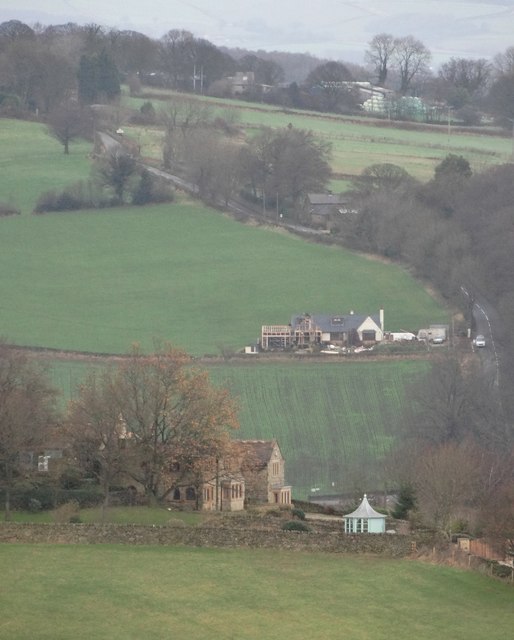
Woolley is a small village located in Derbyshire, England. Situated in the Amber Valley district, it is nestled amidst the picturesque countryside of the East Midlands. The village is known for its tranquil atmosphere and rural charm, attracting visitors and residents seeking a peaceful retreat.

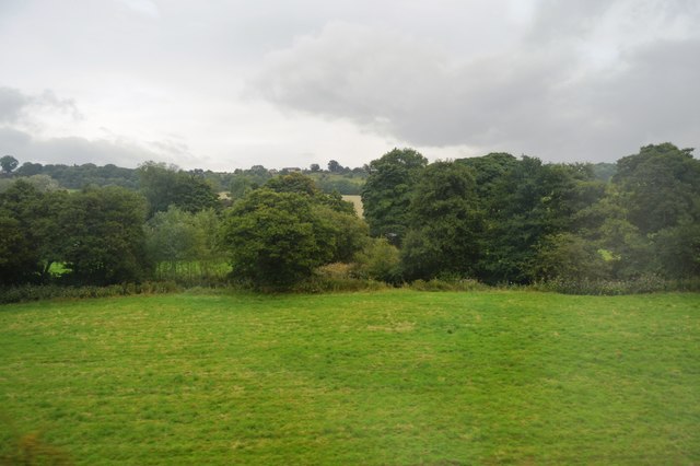
With a population of around 500 people, Woolley maintains a close-knit community feel. The village is characterized by its traditional stone cottages and well-maintained gardens, which add to its idyllic appeal. The surrounding landscape offers stunning views of rolling hills and meadows, making it a haven for nature enthusiasts and walkers.

The heart of the village is the local pub, which serves as a social hub for residents and visitors alike. Here, one can enjoy a pint of traditional ale or indulge in hearty, home-cooked meals. Other amenities in Woolley include a village hall, which hosts various events and community gatherings, and a small primary school that caters to the educational needs of local children.

Woolley's location within close proximity to larger towns and cities provides residents with convenient access to a range of services and facilities. The nearby town of Alfreton offers a wider selection of shops, supermarkets, and leisure activities. Additionally, the village benefits from good transport connections, with regular bus services connecting it to neighboring areas.

Overall, Woolley, Derbyshire is a charming village blessed with natural beauty and a strong sense of community. It offers a tranquil and picturesque setting for those seeking an escape from the hustle and bustle of city life.

If you have any feedback on the listing, please let us know in the comments section below.
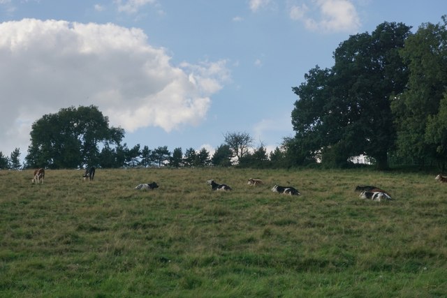
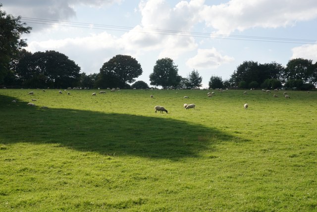
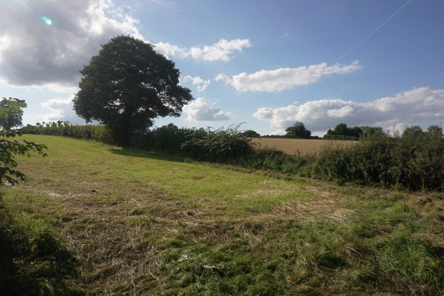
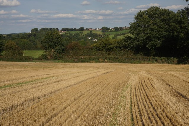
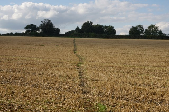
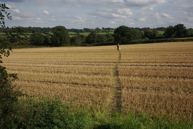
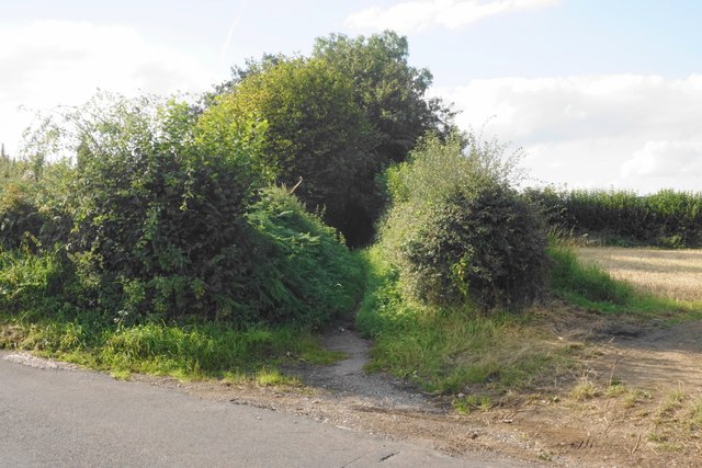
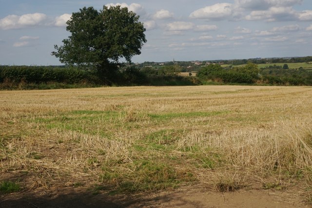
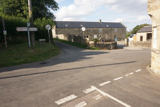
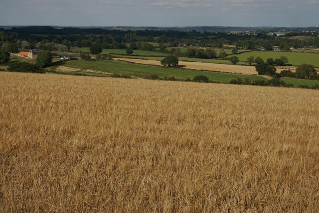
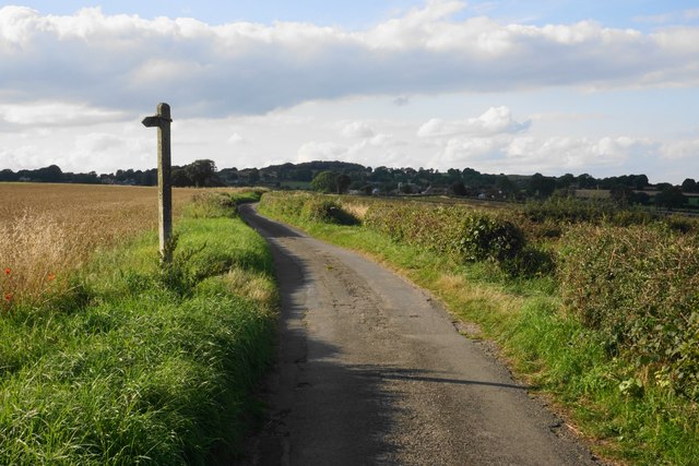
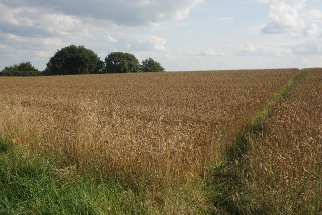
Woolley Images

Images are sourced within 2km of 53.139432/-1.443118 or Grid Reference SK3760. Thanks to Geograph Open Source API. All images are credited.

Cattle on the side of South Hill Looking up to the southern end of the South Hill ridge.
Cattle on the side of South Hill
Looking up to the southern end of the South Hill ridge.
Footpath to Mickley Estate Houses lining the A61 can be seen on the far hill. In between is the valley of Smithy Brook.
Footpath to Mickley Estate
Houses lining the A61 can be seen on the far hill. In between is the valley of Smithy Brook.
Field of sheep on South Hill The eastern side of the South Hill ridge.
Field of sheep on South Hill
The eastern side of the South Hill ridge.
Footpath on South Hill The footpath originally cut off this corner of the field and is still marked as such on the OS map. However that part of the path no longer exists and you have to use the field entrance where I am standing.
Footpath on South Hill
The footpath originally cut off this corner of the field and is still marked as such on the OS map. However that part of the path no longer exists and you have to use the field entrance where I am standing.
Harvested field on South Hill Stretton is seen on the far hill, on the other side of the valley of Smithy Brook.
Harvested field on South Hill
Stretton is seen on the far hill, on the other side of the valley of Smithy Brook.
Footpath towards Handley Crossing a harvested field at the northern end of South Hill.
Footpath towards Handley
Crossing a harvested field at the northern end of South Hill.
Footpath on South Hill The South Hill ridge continues further up to the right. On the far hill are some houses at Mickley on the A61.
Footpath on South Hill
The South Hill ridge continues further up to the right. On the far hill are some houses at Mickley on the A61.
Bridleway to Handley This route appears on older OS maps as a yellow road. It has clearly fallen into disrepair and is not maintained.
Bridleway to Handley
This route appears on older OS maps as a yellow road. It has clearly fallen into disrepair and is not maintained.
Harvested field on Smithy Moor In the far centre is the spire of St Bartholomew's Church in Clay Cross.
Harvested field on Smithy Moor
In the far centre is the spire of St Bartholomew's Church in Clay Cross.
Crossroads at Handley Handley is a very small hamlet on a ridge between Clay Cross and Ashover.
Crossroads at Handley
Handley is a very small hamlet on a ridge between Clay Cross and Ashover.
Barley field by Woodhead Lane Woodhead Lane runs along a ridge with extensive views to the east around Clay Cross and the upper catchment area of the River Rother. Stretton Hall Farm is seen to the left.
Barley field by Woodhead Lane
Woodhead Lane runs along a ridge with extensive views to the east around Clay Cross and the upper catchment area of the River Rother. Stretton Hall Farm is seen to the left.
Woodhead Lane The lane climbs along a ridge which leads up to Farhill. There are quite extensive views to the right from here.
Woodhead Lane
The lane climbs along a ridge which leads up to Farhill. There are quite extensive views to the right from here.
Footpath to Ridgewell Farm Crossing the top of the ridge. This path disappears when the field is ploughed, and when it reappears  it does not always follow exactly the same route through the field.
Footpath to Ridgewell Farm
Crossing the top of the ridge. This path disappears when the field is ploughed, and when it reappears it does not always follow exactly the same route through the field.
Poppy in a wheat field Several poppies were growing along the edge of the wheat field and were visible from Woodhead Lane.
Poppy in a wheat field
Several poppies were growing along the edge of the wheat field and were visible from Woodhead Lane.
View to Ashover Hay From Highoredish Ridge
View to Ashover Hay
From Highoredish Ridge
Trees along Smithy Brook
Ogsten reservoir View from Woodland Trust wood alongside minor road
Ogsten reservoir
View from Woodland Trust wood alongside minor road
Old Milepost by the A61, Main Road, Stretton Cast iron post by the A61, in parish of Shirland and Higham (North East Derbyshire District), Main Road, Stretton, opposite Hilltop Farmhouse, near junction with Morton Road, behind metal rails in hedge, on West side of road. Haywood iron casting, erected by the Duffield & Sheffield turnpike trust in the 19th century. 

Inscription reads:-
: CLAY CROSS / 1 MILES / CHESTERFIELD / 6 MILES / DRONFIELD / 12 MILES / SHEFFIELD / 18 MILES : : TOWNSHIP / OF / HIGHAM : : DERBY / 17 MILES :
Maker:-
: J. HAYWOOD JUNᴿ. / PHOENIX FOUNDRY / DERBY :

Grade II listed.
List Entry Number: 1158838 <span class="nowrap"><a title="https://historicengland.org.uk/listing/the-list/list-entry/1158838" rel="nofollow ugc noopener" href="https://historicengland.org.uk/listing/the-list/list-entry/1158838">Link</a><img style="margin-left:2px;" alt="External link" title="External link - shift click to open in new window" src="https://s1.geograph.org.uk/img/external.png" width="10" height="10"/></span>

Milestone Society National ID: DE_DECF17
Old Milepost by the A61, Main Road, Stretton
Cast iron post by the A61, in parish of Shirland and Higham (North East Derbyshire District), Main Road, Stretton, opposite Hilltop Farmhouse, near junction with Morton Road, behind metal rails in hedge, on West side of road. Haywood iron casting, erected by the Duffield & Sheffield turnpike trust in the 19th century. Inscription reads:- : CLAY CROSS / 1 MILES / CHESTERFIELD / 6 MILES / DRONFIELD / 12 MILES / SHEFFIELD / 18 MILES : : TOWNSHIP / OF / HIGHAM : : DERBY / 17 MILES : Maker:- : J. HAYWOOD JUNᴿ. / PHOENIX FOUNDRY / DERBY : Grade II listed. List Entry Number: 1158838 LinkExternal link Milestone Society National ID: DE_DECF17
Show me another place!

Woolley is located at Grid Ref: SK3760 (Lat: 53.139432, Lng: -1.443118)

Administrative County: Derbyshire

District: North East Derbyshire

Police Authority: Derbyshire

What 3 Words

///woes.repelled.torches. Near Shirland, Derbyshire

Related Wikis

Hurst Lane railway station

Hurst Lane railway station served the hamlet of Ogston, North East Derbyshire, England, from 1925 to 1936 on the Ashover Light Railway. == History == The...

Ogston Reservoir

Ogston Reservoir is a reservoir operated by Severn Trent Water in Derbyshire. It is near the villages of Brackenfield and Ashover and the town of Clay...

Woolley railway station

Woolley railway station was a small station on the Ashover Light Railway and it served the small village of Woolley Moor in North East Derbyshire, England...

Ashover Light Railway

The Ashover Light Railway was a 1 ft 11+1⁄2 in (597 mm) narrow gauge railway in Derbyshire, England that connected Clay Cross and Ashover. It was built...

Nearby Amenities

Located within 500m of 53.139432,-1.443118
Woolley
Is In: Derbyshire, England, UK
Place: hamlet
Lat/Long: 53.1397891/-1.4444871
Ele: 139.5158691
Lat/Long: 53.1395897/-1.4465383
Ele: 144.0822754
Lat/Long: 53.1394221/-1.4472971
Ele: 148
Lat/Long: 53.1386431/-1.4483537
Ele: 115
Lat/Long: 53.1359037/-1.4449594
Ele: 114
Lat/Long: 53.1360003/-1.4448843
Ele: 115
Lat/Long: 53.1361547/-1.4446697
Ele: 115
Lat/Long: 53.1372425/-1.4436827
Ele: 153
Lat/Long: 53.1384743/-1.4481188
Ele: 151
Lat/Long: 53.1383382/-1.4476601
Ele: 152.0000000
Lat/Long: 53.1394518/-1.4474913
Ele: 153.0000000
Lat/Long: 53.1395084/-1.4479184
Ele: 159.0000000
Lat/Long: 53.1393197/-1.4496949
Barrier: stile
Ele: 149.0000000
Material: stone
Stile: squeezer
Lat/Long: 53.1393511/-1.4496801
Barrier: stile
Ele: 148.0000000
Steps: 1
Stile: stepover
Lat/Long: 53.1393672/-1.4496707
Ele: 131.0000000
Lat/Long: 53.1402549/-1.448691
Barrier: stile
Ele: 124.0000000
Steps: 1
Stile: stepover
Lat/Long: 53.1409466/-1.4489601
Post Box
Ele: 124.0000000
Ref: DE55 234
Lat/Long: 53.1399694/-1.4449484
Ele: 116
Lat/Long: 53.1377675/-1.4436488
Ele: 117
Lat/Long: 53.1382961/-1.443791
The data included in this document is from www.openstreetmap.org. The data is made available under ODbL.

Have you been to Woolley?

Leave your review of Woolley below (or comments, questions and feedback).