Taylor's Copse
Wood, Forest in Oxfordshire West Oxfordshire
England
Taylor's Copse
Taylor's Copse is a picturesque woodland located in Oxfordshire, England. Situated on the outskirts of the village of Taylor's Green, the copse covers an area of approximately 10 acres and is a popular destination for nature lovers and outdoor enthusiasts.
The copse is predominantly made up of deciduous trees, including oak, beech, and birch, which create a lush and vibrant canopy during the spring and summer months. The forest floor is adorned with a variety of wildflowers, such as bluebells and primroses, adding to the copse's natural beauty.
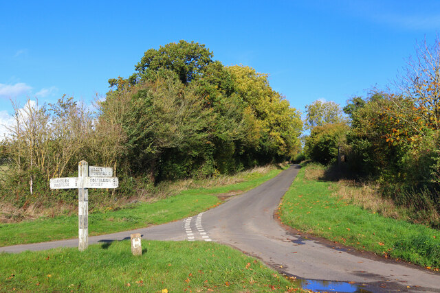
Taylor's Copse is crisscrossed by a network of well-maintained footpaths, making it a haven for walkers, joggers, and dog owners. The paths wind through the trees, providing visitors with a chance to immerse themselves in the tranquility and serenity of the woodland. The copse also features a small stream that trickles through the trees, adding to the idyllic atmosphere.
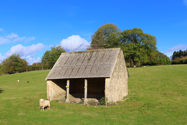
For wildlife enthusiasts, Taylor's Copse offers an array of opportunities to spot native species. The copse is home to a diverse range of birdlife, including woodpeckers and thrushes, which can be seen and heard throughout the year. Squirrels and rabbits are also commonly spotted darting amongst the undergrowth.
With its natural beauty, diverse flora and fauna, and well-maintained footpaths, Taylor's Copse is a true gem in the heart of Oxfordshire. Whether visitors are seeking a peaceful stroll, a chance to reconnect with nature, or a place to observe wildlife, this woodland sanctuary offers a little something for everyone.
If you have any feedback on the listing, please let us know in the comments section below.
Taylor's Copse Images
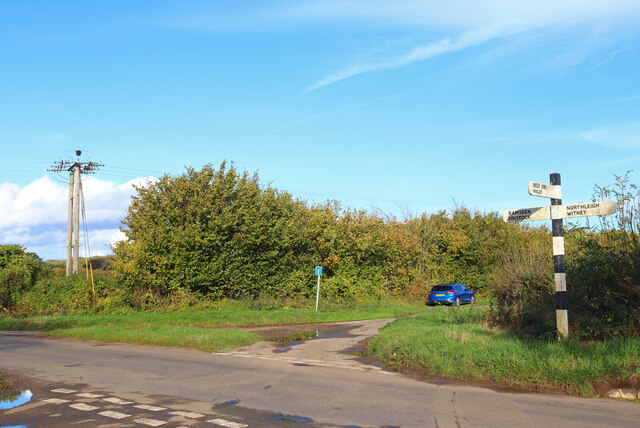
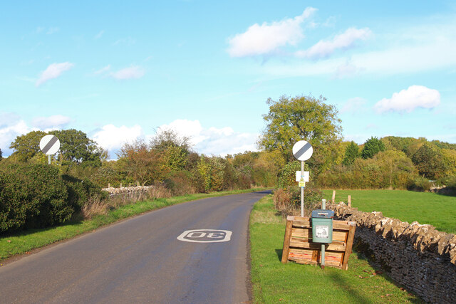
Images are sourced within 2km of 51.818635/-1.4620259 or Grid Reference SP3713. Thanks to Geograph Open Source API. All images are credited.


Taylor's Copse is located at Grid Ref: SP3713 (Lat: 51.818635, Lng: -1.4620259)
Administrative County: Oxfordshire
District: West Oxfordshire
Police Authority: Thames Valley
What 3 Words
///highbrow.calendars.sweep. Near North Leigh, Oxfordshire
Nearby Locations
Related Wikis
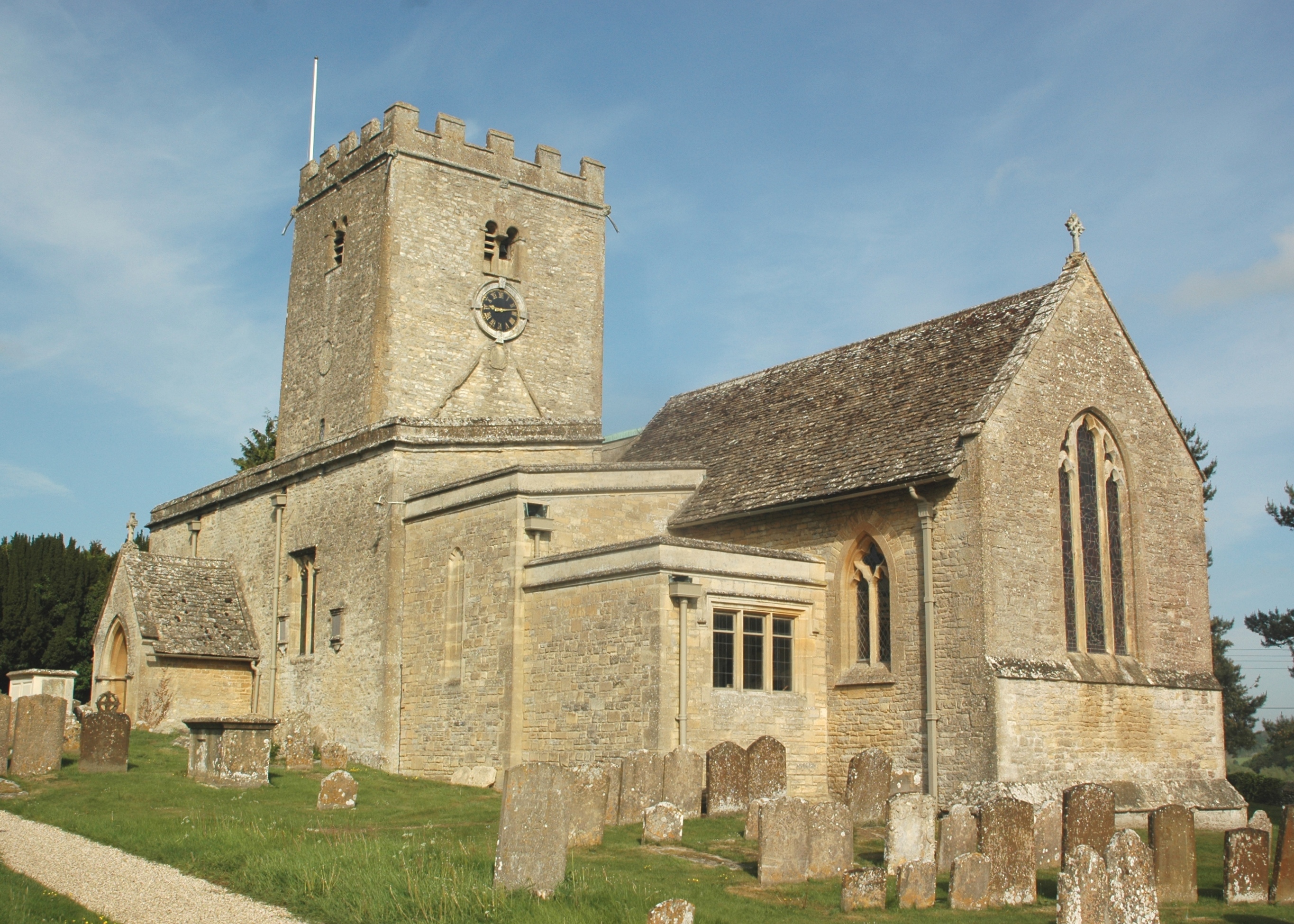
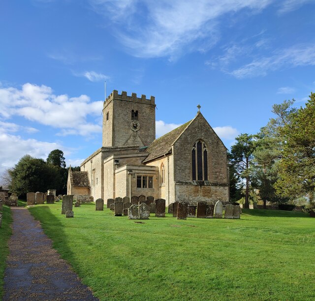
St Mary's Church, North Leigh
The Parish Church of Saint Mary, North Leigh is the Church of England parish church of North Leigh, a village about 3 miles (5 km) northeast of Witney...
North Leigh
North Leigh is a village and civil parish about 3 miles (5 km) northeast of Witney in Oxfordshire. The parish includes the hamlet of East End and since...

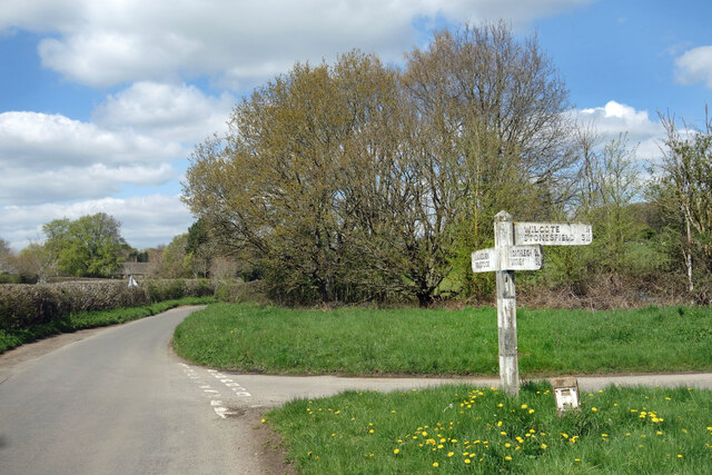
Wilcote
Wilcote is a hamlet about 3+1⁄2 miles (5.6 km) north of Witney in Oxfordshire, England. Wilcote was a hamlet of Cogges from at least the Middle Ages until...

Hailey, Oxfordshire
Hailey is a village and civil parish about 2 miles (3 km) north of Witney, Oxfordshire. The village comprises three neighbourhoods: Middletown on the main...
Nearby Amenities
Located within 500m of 51.818635,-1.4620259Have you been to Taylor's Copse?
Leave your review of Taylor's Copse below (or comments, questions and feedback).