Dean

Settlement in Lancashire Rossendale

England

Dean

Old Boundary Marker on Bacup Old Road Municipal Boundary Marker on the east side of Bacup Old Road, southeast of its junction with the A671 Burnley Road. On the boundary of Cliviger parish and the former Newchurch parish. One of a series marking the boundary of Bacup Borough.

Milestone Society National ID: LA_BACCLI02pb
Old Boundary Marker on Bacup Old Road Credit: C Chatham

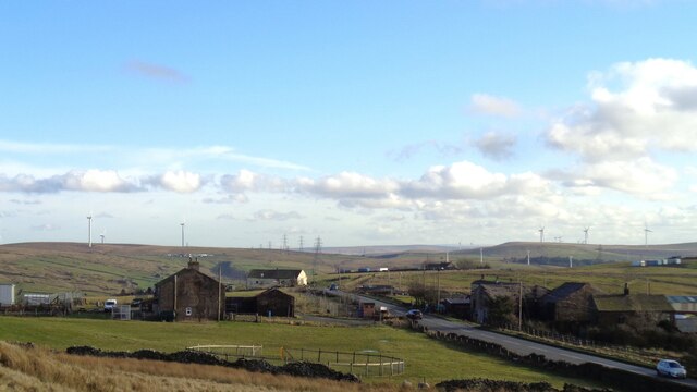
Dean is a small village located in the county of Lancashire, England. Situated approximately 4 miles northeast of the town of Lytham St Annes and 10 miles west of the city of Preston, Dean is nestled in a picturesque rural setting.

The village is known for its charming and tranquil atmosphere, surrounded by beautiful countryside and farmland. It is primarily a residential area, with a small population of around 500 residents. The village offers a close-knit community feeling, where neighbors often know each other and enjoy participating in local events and activities together.

Despite its small size, Dean boasts a number of amenities and facilities to cater to its residents. These include a local primary school, a village hall, and a traditional village pub that serves as a central meeting point for locals. The village is also well-connected to nearby towns and cities, with good transport links including bus services and easy access to major roads.

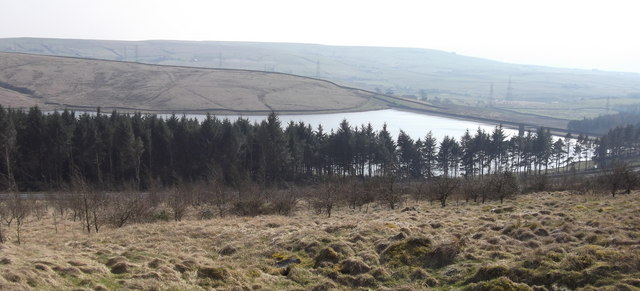
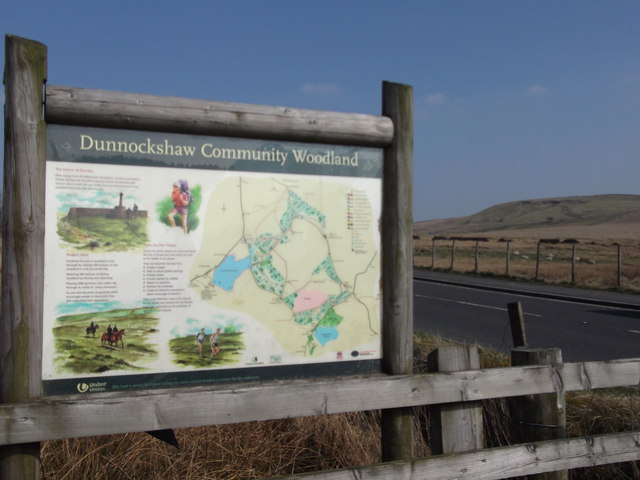
For outdoor enthusiasts, Dean offers ample opportunities for exploring the surrounding countryside. The village is located near the Ribble Estuary and the nearby coastal areas of Lytham and St Annes, providing access to beautiful beaches and nature reserves. The village is also close to various walking and cycling routes, allowing residents to enjoy the picturesque Lancashire countryside.

In summary, Dean is a small and peaceful village in Lancashire, providing a friendly community atmosphere and access to beautiful natural surroundings.

If you have any feedback on the listing, please let us know in the comments section below.
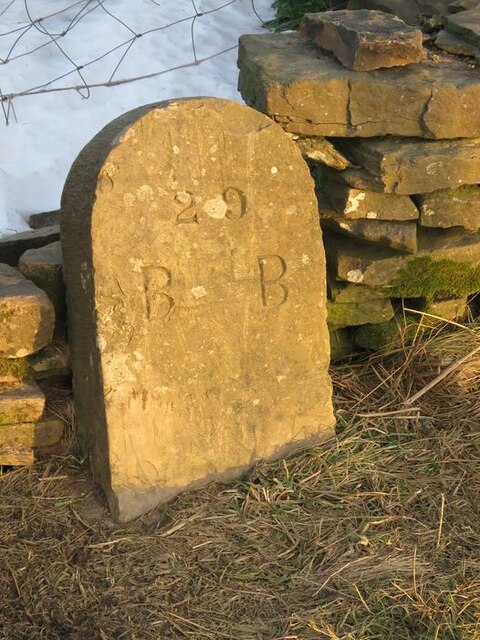
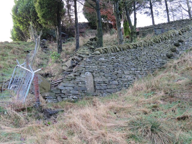
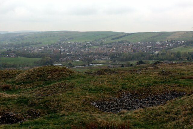
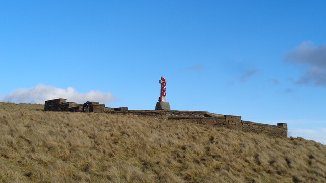
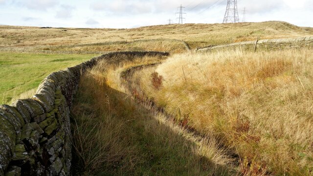
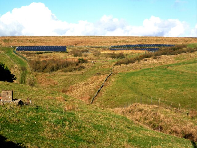
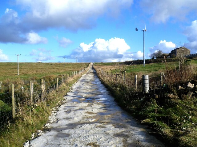
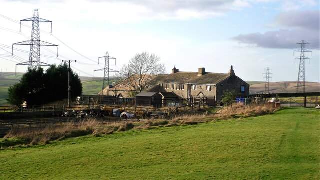
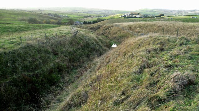
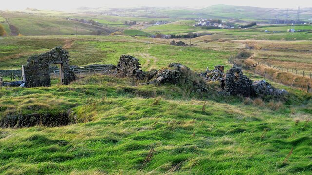
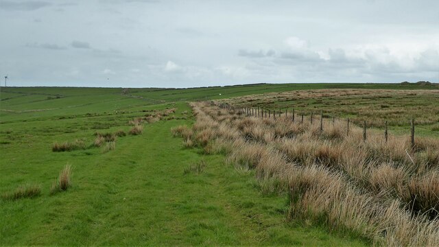
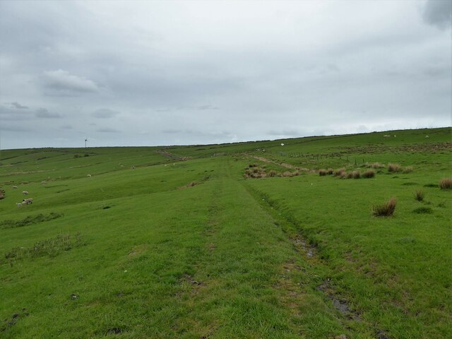
Dean Images

Images are sourced within 2km of 53.726862/-2.221706 or Grid Reference SD8525. Thanks to Geograph Open Source API. All images are credited.

Old Boundary Marker on Bacup Old Road Municipal Boundary Marker on the east side of Bacup Old Road, southeast of its junction with the A671 Burnley Road. On the boundary of Cliviger parish and the former Newchurch parish. One of a series marking the boundary of Bacup Borough.

Milestone Society National ID: LA_BACCLI02pb
Old Boundary Marker on Bacup Old Road
Municipal Boundary Marker on the east side of Bacup Old Road, southeast of its junction with the A671 Burnley Road. On the boundary of Cliviger parish and the former Newchurch parish. One of a series marking the boundary of Bacup Borough. Milestone Society National ID: LA_BACCLI02pb
Old Boundary Marker west of Burnley Road Municipal Boundary Marker set in a drystone wall beside the disused tramway of Deerplay Colliery, 75 metres west of the B671 Burnley Road. On the boundary of Cliviger parish and the former Newchurch parish. One of a series marking the boundary of Bacup Borough. Inscribed 31 / B B.

Milestone Society National ID: LA_BACCLI03pb
Old Boundary Marker west of Burnley Road
Municipal Boundary Marker set in a drystone wall beside the disused tramway of Deerplay Colliery, 75 metres west of the B671 Burnley Road. On the boundary of Cliviger parish and the former Newchurch parish. One of a series marking the boundary of Bacup Borough. Inscribed 31 / B B. Milestone Society National ID: LA_BACCLI03pb
Village of Weir As seen from the edge of Heald Moor
Village of Weir
As seen from the edge of Heald Moor
Weir and District War Memorial On Deerplay Hill
Weir and District War Memorial
On Deerplay Hill
Farms on Burnley Road View towards Bacup from Weir War Memorial on Deerplay Hill
Farms on Burnley Road
View towards Bacup from Weir War Memorial on Deerplay Hill
Broadclough Mill On Burnley Road
Broadclough Mill
On Burnley Road
Massive Gate Piers At Far Old Meadows, but not apparently an entrance
Massive Gate Piers
At Far Old Meadows, but not apparently an entrance
Weir on River Irwell Below Dog Pits Lane
Weir on River Irwell
Below Dog Pits Lane
Reservoir Catchwater For Clough Bottom Reservoir
Reservoir Catchwater
For Clough Bottom Reservoir
Solar Panels at former Deerplay Colliery Site Around the lagoons that are cleaning the mine water coming from the former colliery
Solar Panels at former Deerplay Colliery Site
Around the lagoons that are cleaning the mine water coming from the former colliery
Harrow Stiles Lane Used by Rossendale Way. At this point by Sod Hey Farm the farm track surface appears to have been laid using a very wet cement mix with little aggregate
Harrow Stiles Lane
Used by Rossendale Way. At this point by Sod Hey Farm the farm track surface appears to have been laid using a very wet cement mix with little aggregate
Approaching Clifton On the Rossendale Way
Approaching Clifton
On the Rossendale Way
A side clough of Shepherd Clough An unnamed clough south of Clifton and on a path that has been a public right of way but seems to have been extinguished as such around Clifton. There is a stile into the clough coming from the south but no proper facility out to approach Clifton
A side clough of Shepherd Clough
An unnamed clough south of Clifton and on a path that has been a public right of way but seems to have been extinguished as such around Clifton. There is a stile into the clough coming from the south but no proper facility out to approach Clifton
Remains of Dean Head There are two distinct ruins at Dean Head and this is the building to the north
Remains of Dean Head
There are two distinct ruins at Dean Head and this is the building to the north
Track on the hillside above Brex Farm The track runs along the side of  the fenced off rough open access land
Track on the hillside above Brex Farm
The track runs along the side of the fenced off rough open access land
Track on the hillside above Middle Brex Farm The track continues past the wind turbine on the horizon to Far and Middle Bank End
Track on the hillside above Middle Brex Farm
The track continues past the wind turbine on the horizon to Far and Middle Bank End
Clough Bottom Reservoir, Lancashire
Dunnockshaw Community Woodland, Rossendale, Lancashire
Show me another place!

Dean is located at Grid Ref: SD8525 (Lat: 53.726862, Lng: -2.221706)

Administrative County: Lancashire

District: Rossendale

Police Authority: Lancashire

What 3 Words

///restores.scribbled.protests. Near Bacup, Lancashire

Related Wikis

Water, Lancashire

Water is a hamlet in the borough of Rossendale, in Lancashire, England. Located north of the village of Lumb. It is mostly made of a few homes, farms,...

Weir, Lancashire

Weir is a village to the north of Bacup in the Rossendale borough of Lancashire, England, and immediately south of the boundary with the Borough of Burnley...

A671 road

The A671 is a road in the North West of England, that runs between Oldham, Greater Manchester and Worston, near Clitheroe, Lancashire. Major towns on the...

Lumb, Rawtenstall

Lumb is a small village in the Rossendale district of Lancashire, England. It lies in the valley of the Whitewell Brook, 3 miles (5 km) north east of Rawtenstall...

Whitewell Brook

Whitewell Brook is a minor river in Lancashire, England. It is 4.34 miles (6.99 km) long and has a catchment area of 7.67 square miles (19.86 km2).The...

Broadclough

Broadclough – historically Broad Clough (meaning "broad valley") – is a village located to the north of Bacup (where population details are included),...

Rossendale (UK Parliament constituency)

Rossendale was a parliamentary constituency in the Lancashire, England. Created in 1885, it elected one Member of Parliament (MP) to the House of Commons...

Rossendale and Darwen (UK Parliament constituency)

Rossendale and Darwen is a constituency in Lancashire represented in the House of Commons of the UK Parliament since 2010 by Jake Berry, the former Chairman...

Nearby Amenities

Located within 500m of 53.726862,-2.221706
Dean
Place: hamlet
Source: npe
Lat/Long: 53.7276057/-2.2281393
Design: barrel
Power: tower
Lat/Long: 53.7304749/-2.2199917
Design: barrel
Power: tower
Lat/Long: 53.7307842/-2.2237123
Tree: deciduous
Lat/Long: 53.728137/-2.2195936
The data included in this document is from www.openstreetmap.org. The data is made available under ODbL.

Have you been to Dean?

Leave your review of Dean below (or comments, questions and feedback).