Clifton Clough

Valley in Lancashire Rossendale

England

Clifton Clough

Old Boundary Marker on Bacup Old Road Municipal Boundary Marker on the east side of Bacup Old Road, southeast of its junction with the A671 Burnley Road. On the boundary of Cliviger parish and the former Newchurch parish. One of a series marking the boundary of Bacup Borough.

Milestone Society National ID: LA_BACCLI02pb
Old Boundary Marker on Bacup Old Road Credit: C Chatham

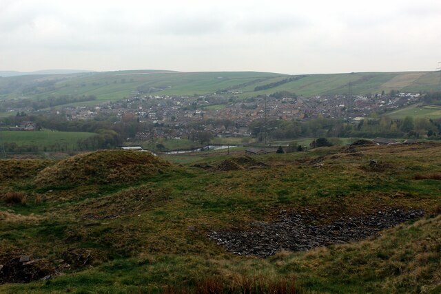
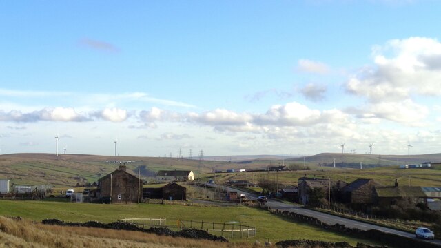
Clifton Clough is a small village situated in the county of Lancashire, England. It is located in the picturesque Clifton Valley, surrounded by rolling hills and lush greenery. The village is part of the larger metropolitan borough of Salford and is approximately 6 miles northwest of Manchester city center.

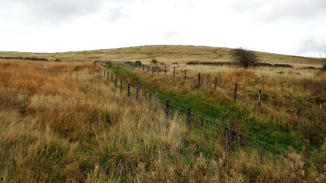
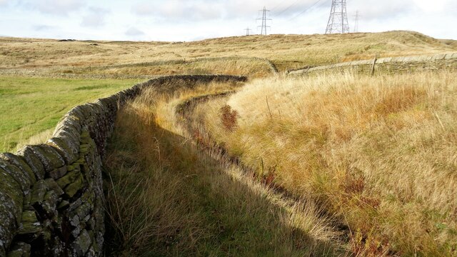
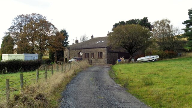
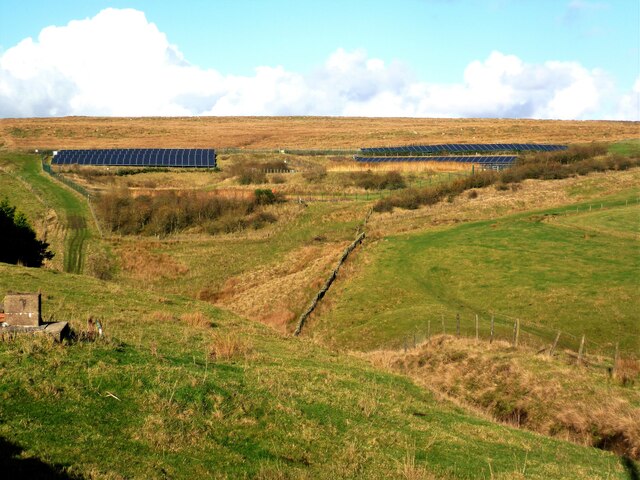
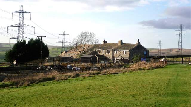
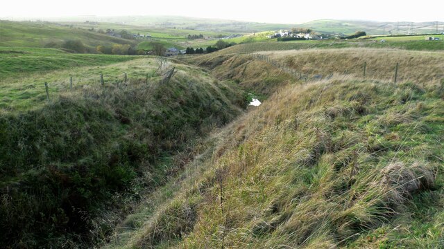
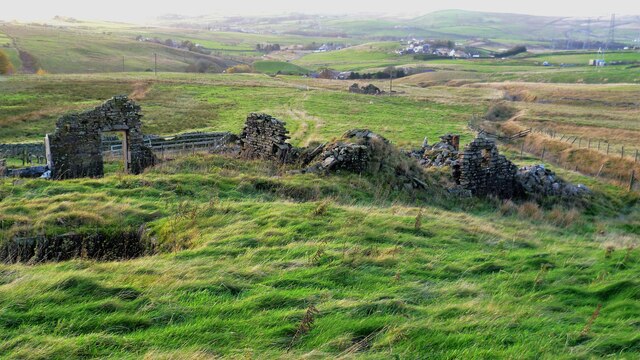
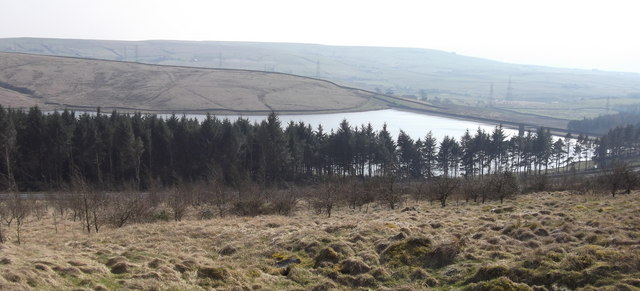
One of the defining features of Clifton Clough is its natural beauty, with its serene countryside setting attracting visitors and locals alike. The village is known for its charming stone cottages and traditional architecture, which adds to its idyllic charm.

The community in Clifton Clough is tight-knit and friendly, with a population of around 1,500 residents. The village is home to a range of amenities, including a local primary school, a village hall, and a few small shops. Additionally, there are several pubs and restaurants in the area, providing a cozy atmosphere for socializing and dining.

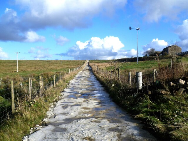
Clifton Clough is well-connected to the surrounding areas, with good transport links to Manchester and other nearby towns. The village is serviced by regular bus routes and is easily accessible by car, with the A666 road passing close by.

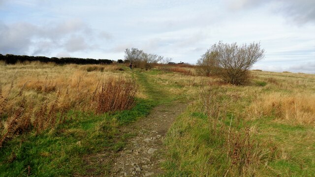
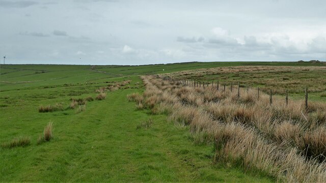
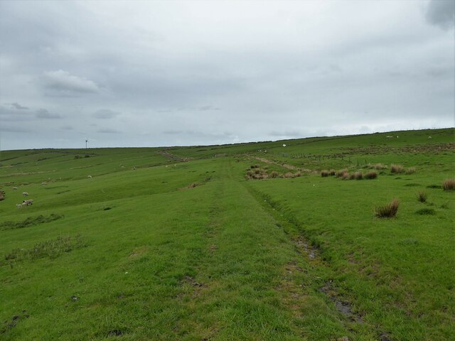
For those seeking outdoor activities, Clifton Clough offers ample opportunities for walking, cycling, and exploring the nearby countryside. The Clifton Country Park, situated on the outskirts of the village, is a popular destination for nature lovers, with its scenic walking trails and picturesque lakes.

Overall, Clifton Clough is a charming village that combines natural beauty with a strong sense of community. Its peaceful atmosphere and close proximity to urban centers make it an attractive place to live for those seeking a balance between country living and city convenience.

If you have any feedback on the listing, please let us know in the comments section below.

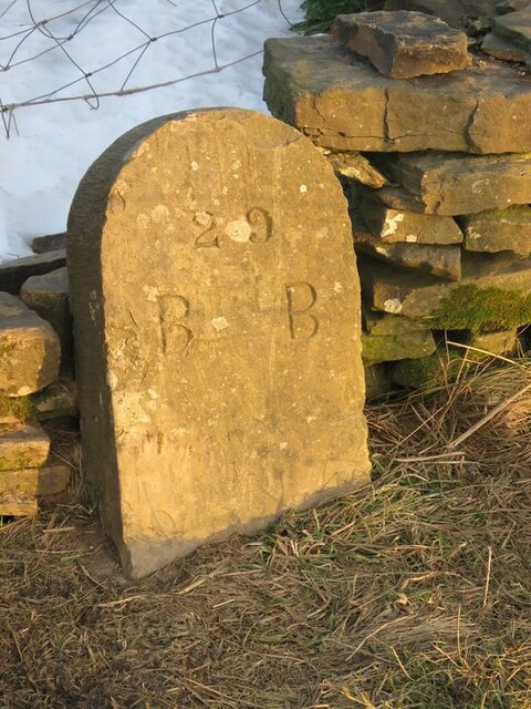
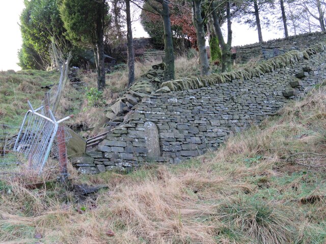
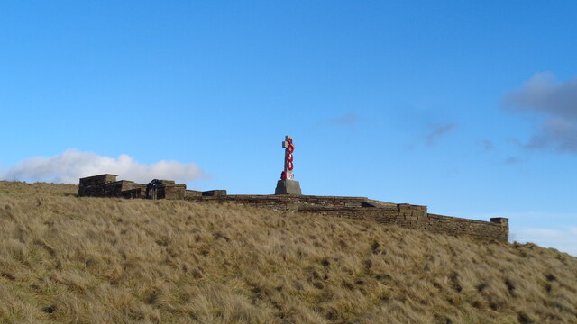
Clifton Clough Images

Images are sourced within 2km of 53.729048/-2.2220725 or Grid Reference SD8525. Thanks to Geograph Open Source API. All images are credited.

Old Boundary Marker on Bacup Old Road Municipal Boundary Marker on the east side of Bacup Old Road, southeast of its junction with the A671 Burnley Road. On the boundary of Cliviger parish and the former Newchurch parish. One of a series marking the boundary of Bacup Borough.

Milestone Society National ID: LA_BACCLI02pb
Old Boundary Marker on Bacup Old Road
Municipal Boundary Marker on the east side of Bacup Old Road, southeast of its junction with the A671 Burnley Road. On the boundary of Cliviger parish and the former Newchurch parish. One of a series marking the boundary of Bacup Borough. Milestone Society National ID: LA_BACCLI02pb
Old Boundary Marker west of Burnley Road Municipal Boundary Marker set in a drystone wall beside the disused tramway of Deerplay Colliery, 75 metres west of the B671 Burnley Road. On the boundary of Cliviger parish and the former Newchurch parish. One of a series marking the boundary of Bacup Borough. Inscribed 31 / B B.

Milestone Society National ID: LA_BACCLI03pb
Old Boundary Marker west of Burnley Road
Municipal Boundary Marker set in a drystone wall beside the disused tramway of Deerplay Colliery, 75 metres west of the B671 Burnley Road. On the boundary of Cliviger parish and the former Newchurch parish. One of a series marking the boundary of Bacup Borough. Inscribed 31 / B B. Milestone Society National ID: LA_BACCLI03pb
Village of Weir As seen from the edge of Heald Moor
Village of Weir
As seen from the edge of Heald Moor
Weir and District War Memorial On Deerplay Hill
Weir and District War Memorial
On Deerplay Hill
Farms on Burnley Road View towards Bacup from Weir War Memorial on Deerplay Hill
Farms on Burnley Road
View towards Bacup from Weir War Memorial on Deerplay Hill
White Hill Circular Walk Part of the marked path near Crown Point Road which meanders such that short cuts have been made. The gravel path which is not being used is becoming overgrown and the short cuts a source of surface erosion.
White Hill Circular Walk
Part of the marked path near Crown Point Road which meanders such that short cuts have been made. The gravel path which is not being used is becoming overgrown and the short cuts a source of surface erosion.
Farmer's Track to White Hill This track links the hill and Burnley Road (B6238) and is used by the Pennine Bridleway for part of the route
Farmer's Track to White Hill
This track links the hill and Burnley Road (B6238) and is used by the Pennine Bridleway for part of the route
Reservoir Catchwater For Clough Bottom Reservoir
Reservoir Catchwater
For Clough Bottom Reservoir
Approaching Swallow Shore
Solar Panels at former Deerplay Colliery Site Around the lagoons that are cleaning the mine water coming from the former colliery
Solar Panels at former Deerplay Colliery Site
Around the lagoons that are cleaning the mine water coming from the former colliery
Harrow Stiles Lane Used by Rossendale Way. At this point by Sod Hey Farm the farm track surface appears to have been laid using a very wet cement mix with little aggregate
Harrow Stiles Lane
Used by Rossendale Way. At this point by Sod Hey Farm the farm track surface appears to have been laid using a very wet cement mix with little aggregate
Approaching Clifton On the Rossendale Way
Approaching Clifton
On the Rossendale Way
A side clough of Shepherd Clough An unnamed clough south of Clifton and on a path that has been a public right of way but seems to have been extinguished as such around Clifton. There is a stile into the clough coming from the south but no proper facility out to approach Clifton
A side clough of Shepherd Clough
An unnamed clough south of Clifton and on a path that has been a public right of way but seems to have been extinguished as such around Clifton. There is a stile into the clough coming from the south but no proper facility out to approach Clifton
Remains of Dean Head There are two distinct ruins at Dean Head and this is the building to the north
Remains of Dean Head
There are two distinct ruins at Dean Head and this is the building to the north
Track on the hillside above Brex Farm The track runs along the side of  the fenced off rough open access land
Track on the hillside above Brex Farm
The track runs along the side of the fenced off rough open access land
Track on the hillside above Middle Brex Farm The track continues past the wind turbine on the horizon to Far and Middle Bank End
Track on the hillside above Middle Brex Farm
The track continues past the wind turbine on the horizon to Far and Middle Bank End
Track to Heald Moor A track initially on the route of an old tramway for Easden Wood Colliery which finished before the climb ahead. OS maps suggest the extension of this track is relatively recent appearing to serve a tipping site on Heald Moor. The lower track serves the farm at Cow Side.
Track to Heald Moor
A track initially on the route of an old tramway for Easden Wood Colliery which finished before the climb ahead. OS maps suggest the extension of this track is relatively recent appearing to serve a tipping site on Heald Moor. The lower track serves the farm at Cow Side.
Clough Bottom Reservoir, Lancashire
Show me another place!

Clifton Clough is located at Grid Ref: SD8525 (Lat: 53.729048, Lng: -2.2220725)

Administrative County: Lancashire

District: Rossendale

Police Authority: Lancashire

What 3 Words

///brotherly.flasks.vine. Near Bacup, Lancashire

Related Wikis

Water, Lancashire

Water is a hamlet in the borough of Rossendale, in Lancashire, England. Located north of the village of Lumb. It is mostly made of a few homes, farms,...

Weir, Lancashire

Weir is a village to the north of Bacup in the Rossendale borough of Lancashire, England, and immediately south of the boundary with the Borough of Burnley...

A671 road

The A671 is a road in the North West of England, that runs between Oldham, Greater Manchester and Worston, near Clitheroe, Lancashire. Major towns on the...

Lumb, Rawtenstall

Lumb is a small village in the Rossendale district of Lancashire, England. It lies in the valley of the Whitewell Brook, 3 miles (5 km) north east of Rawtenstall...

Whitewell Brook

Whitewell Brook is a minor river in Lancashire, England. It is 4.34 miles (6.99 km) long and has a catchment area of 7.67 square miles (19.86 km2).The...

Broadclough

Broadclough – historically Broad Clough (meaning "broad valley") – is a village located to the north of Bacup (where population details are included),...

Rossendale (UK Parliament constituency)

Rossendale was a parliamentary constituency in the Lancashire, England. Created in 1885, it elected one Member of Parliament (MP) to the House of Commons...

Rossendale and Darwen (UK Parliament constituency)

Rossendale and Darwen is a constituency in Lancashire represented in the House of Commons of the UK Parliament since 2010 by Jake Berry, the former Chairman...

Nearby Amenities

Located within 500m of 53.729048,-2.2220725
Dean
Place: hamlet
Source: npe
Lat/Long: 53.7276057/-2.2281393
Design: barrel
Power: tower
Lat/Long: 53.7301475/-2.2164249
Design: barrel
Power: tower
Lat/Long: 53.7304749/-2.2199917
Design: barrel
Power: tower
Lat/Long: 53.7307842/-2.2237123
Design: barrel
Power: tower
Lat/Long: 53.7310388/-2.2266335
Power: tower
Lat/Long: 53.7311337/-2.2160626
Power: tower
Lat/Long: 53.7321174/-2.2246456
Power: tower
Lat/Long: 53.7316732/-2.2206652
Entrance: yes
Lat/Long: 53.7323904/-2.2208664
Tree: deciduous
Lat/Long: 53.728137/-2.2195936
Entrance: yes
Lat/Long: 53.7326977/-2.2218226
The data included in this document is from www.openstreetmap.org. The data is made available under ODbL.

Have you been to Clifton Clough?

Leave your review of Clifton Clough below (or comments, questions and feedback).