Turn Hill
Hill, Mountain in Lancashire Rossendale
England
Turn Hill
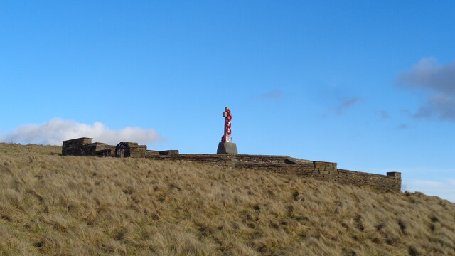
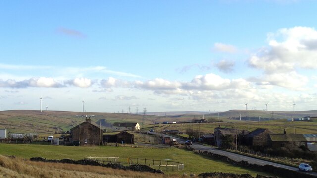
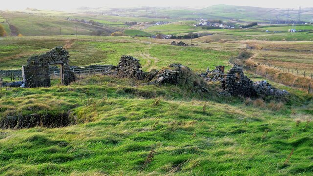
Turn Hill is a prominent hill located in the county of Lancashire, England. Standing at an elevation of approximately 367 meters (1,204 feet), it is classified as a hill rather than a mountain. The hill is situated in the southern part of the county, near the village of Withnell, and is part of the West Pennine Moors.
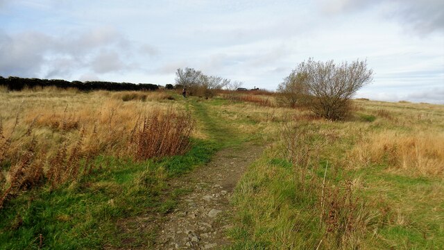
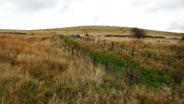
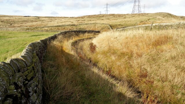
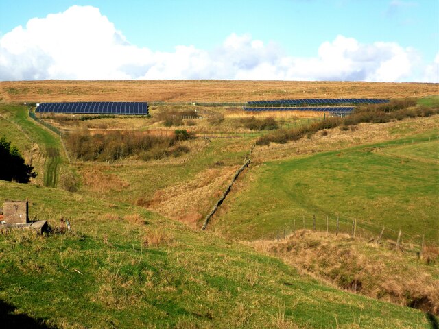
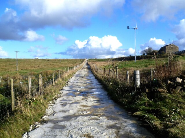
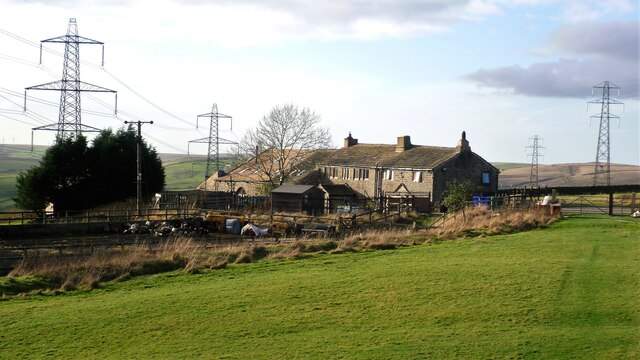
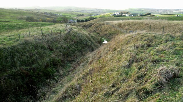
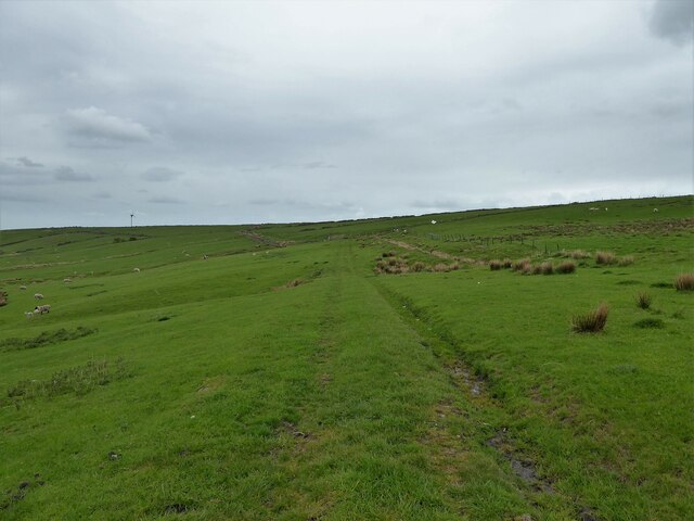
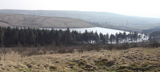
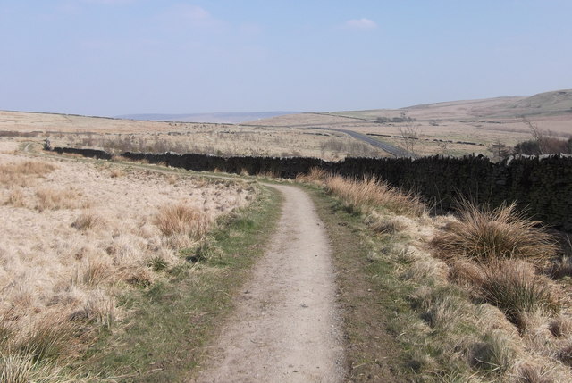
Turn Hill offers stunning panoramic views of the surrounding landscape, making it a popular destination for hikers, nature enthusiasts, and photographers alike. From its summit, visitors can enjoy breathtaking vistas of the picturesque Lancashire countryside, with rolling green hills, quaint villages, and patches of woodland.
The hill is covered in heather and grass, providing a haven for various species of wildlife. It is home to a diverse range of birds, including kestrels, curlews, and grouse, making it a great spot for birdwatching. Additionally, the surrounding moorland is inhabited by various mammals such as rabbits, foxes, and deer.
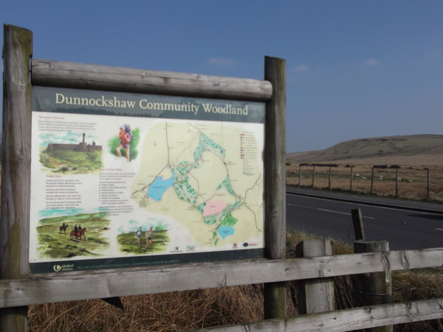
Several walking paths and trails traverse the hill, catering to both casual walkers and more experienced hikers. One popular route is the Withnell Moor circular walk, which takes visitors on a scenic journey through the moorland, passing by Turn Hill on the way.
Overall, Turn Hill offers a peaceful and idyllic escape into nature, providing visitors with stunning views, rich wildlife, and an opportunity to connect with the beautiful Lancashire countryside.
If you have any feedback on the listing, please let us know in the comments section below.
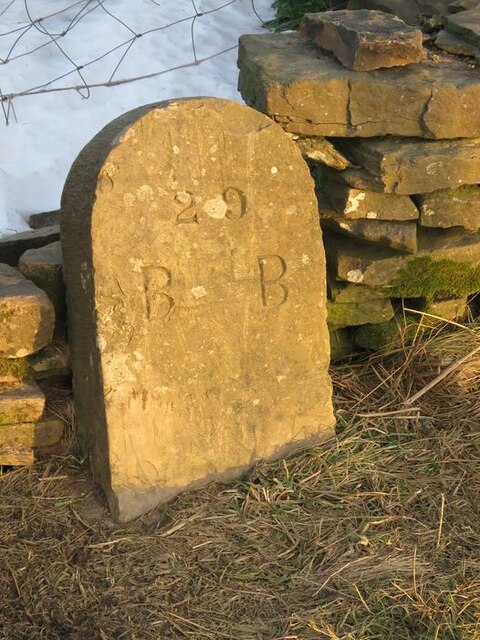
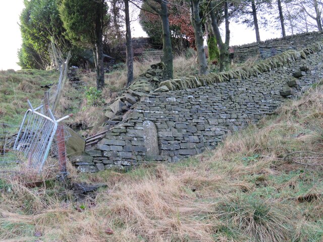
Turn Hill Images
Images are sourced within 2km of 53.729167/-2.2260139 or Grid Reference SD8525. Thanks to Geograph Open Source API. All images are credited.

Turn Hill is located at Grid Ref: SD8525 (Lat: 53.729167, Lng: -2.2260139)
Administrative County: Lancashire
District: Rossendale
Police Authority: Lancashire
What 3 Words
///punctual.storybook.music. Near Bacup, Lancashire
Nearby Locations
Related Wikis

Water, Lancashire
Water is a hamlet in the borough of Rossendale, in Lancashire, England. Located north of the village of Lumb. It is mostly made of a few homes, farms,...

Lumb, Rawtenstall
Lumb is a small village in the Rossendale district of Lancashire, England. It lies in the valley of the Whitewell Brook, 3 miles (5 km) north east of Rawtenstall...

Whitewell Brook
Whitewell Brook is a minor river in Lancashire, England. It is 4.34 miles (6.99 km) long and has a catchment area of 7.67 square miles (19.86 km2).The...

Weir, Lancashire
Weir is a village to the north of Bacup in the Rossendale borough of Lancashire, England, and immediately south of the boundary with the Borough of Burnley...

A671 road
The A671 is a road in the North West of England, that runs between Oldham, Greater Manchester and Worston, near Clitheroe, Lancashire. Major towns on the...

Broadclough
Broadclough – historically Broad Clough (meaning "broad valley") – is a village located to the north of Bacup (where population details are included),...

Rossendale (UK Parliament constituency)
Rossendale was a parliamentary constituency in the Lancashire, England. Created in 1885, it elected one Member of Parliament (MP) to the House of Commons...

Rossendale and Darwen (UK Parliament constituency)
Rossendale and Darwen is a constituency in Lancashire represented in the House of Commons of the UK Parliament since 2010 by Jake Berry, the former Chairman...
Nearby Amenities
Located within 500m of 53.729167,-2.2260139Have you been to Turn Hill?
Leave your review of Turn Hill below (or comments, questions and feedback).