Headless Cleugh
Valley in Northumberland
England
Headless Cleugh
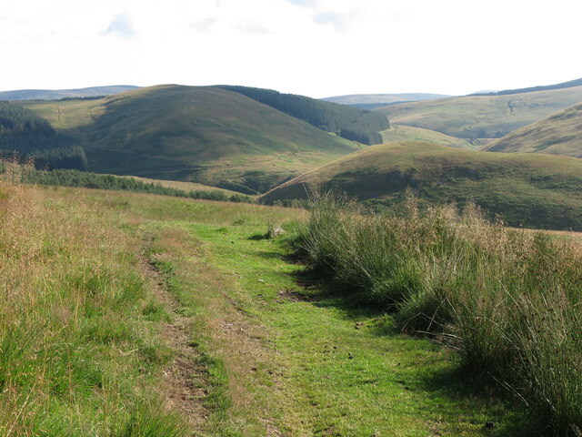
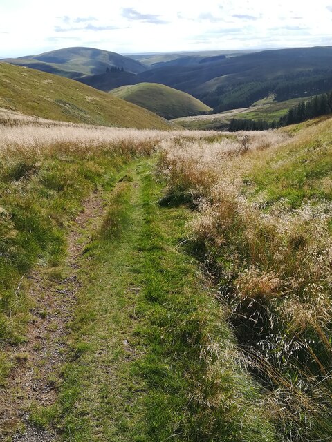
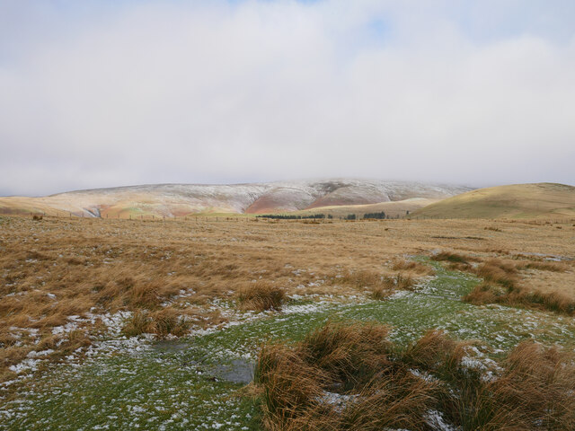
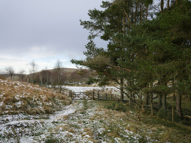
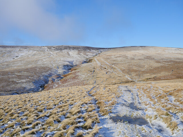
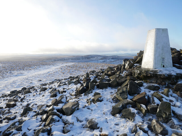
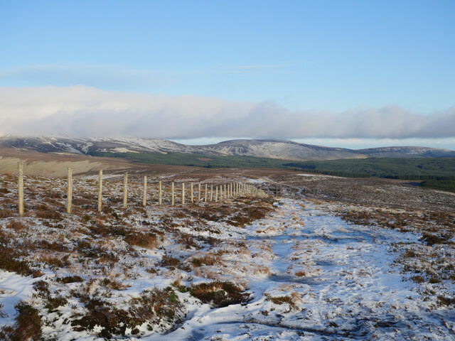
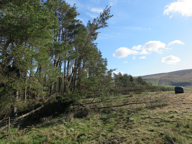
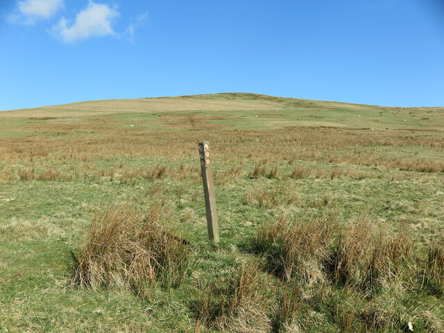
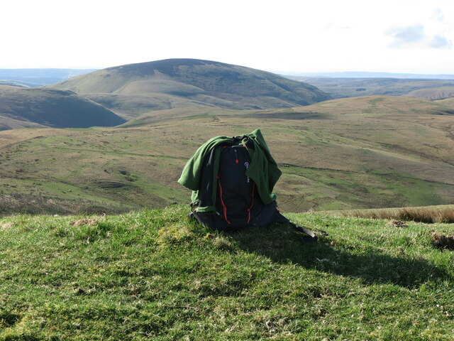
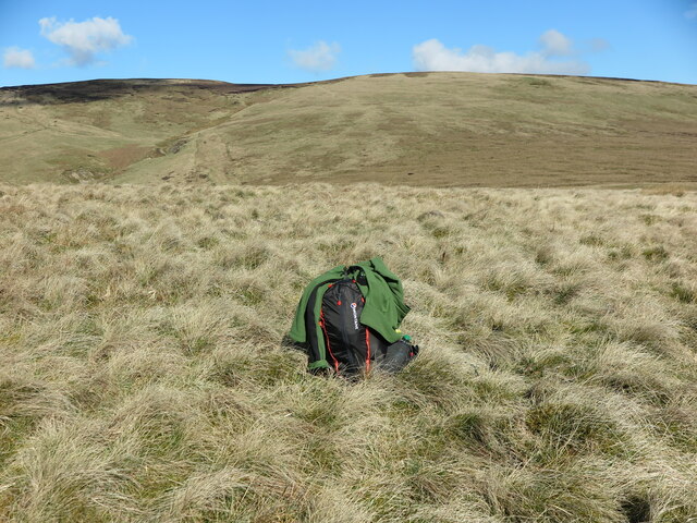
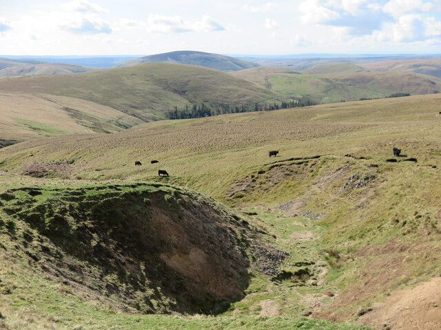
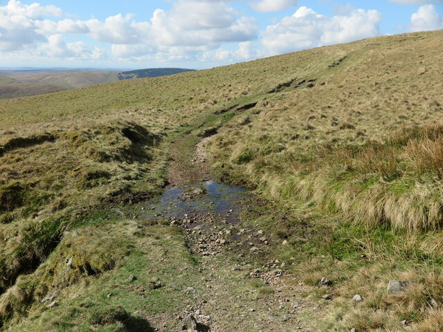
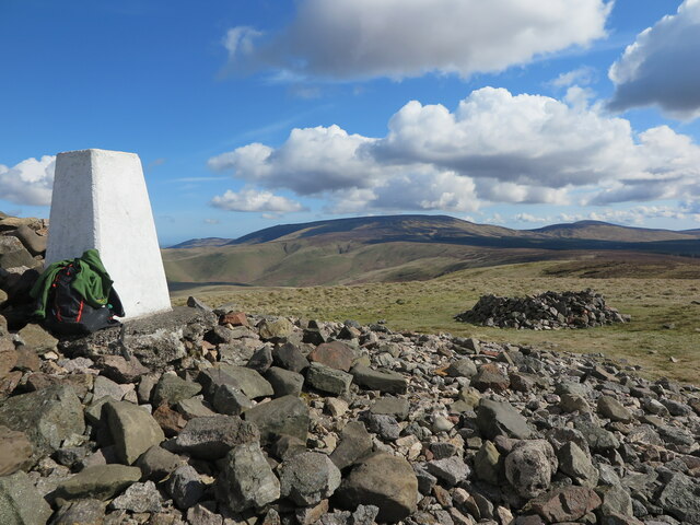
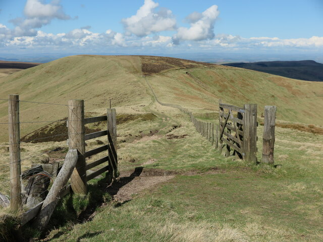
Headless Cleugh is a picturesque valley located in Northumberland, England. Situated in the northern part of the county, it is known for its stunning natural beauty and rich history. The valley is surrounded by rolling hills, lush green meadows, and dense forests, making it a popular destination for nature enthusiasts and hikers.
The name "Headless Cleugh" derives from the Old English word "cleugh," meaning a narrow valley or ravine, and it is believed that the term "headless" refers to the absence of a prominent hill or ridge at the entrance of the valley. This unique geographical feature adds to the charm and appeal of the area.
The valley is home to a diverse range of flora and fauna, including rare species of wildflowers, birds, and mammals. It is also crisscrossed by several streams and small waterfalls, creating a tranquil atmosphere throughout.
With its close proximity to Hadrian's Wall, Headless Cleugh holds significant historical importance. The remains of an ancient Roman fort can be found nearby, serving as a reminder of the area's past. The valley was also once inhabited by early settlers, and evidence of their presence can be seen in the form of stone circles and burial sites.
Overall, Headless Cleugh offers visitors a chance to immerse themselves in the unspoiled beauty of the Northumberland countryside while exploring its intriguing history. Whether it be for a leisurely walk, a picnic in nature, or a journey back in time, this valley is a must-visit destination for nature lovers and history enthusiasts alike.
If you have any feedback on the listing, please let us know in the comments section below.
Headless Cleugh Images
Images are sourced within 2km of 55.416439/-2.2318771 or Grid Reference NT8513. Thanks to Geograph Open Source API. All images are credited.


Headless Cleugh is located at Grid Ref: NT8513 (Lat: 55.416439, Lng: -2.2318771)
Unitary Authority: Northumberland
Police Authority: Northumbria
What 3 Words
///coining.blunt.ghost. Near Rochester, Northumberland
Nearby Locations
Related Wikis

Windy Gyle
Windy Gyle is a mountain in the Cheviot Hills range, on the border between England and Scotland. Like the other hills in the area, it is rounded and grass...

Barrow Burn Meadows
Barrow Burn Meadows is a Site of Special Scientific Interest (SSSI) in north Northumberland, England. The site is a species-rich hay meadow of a sort now...

Barrow Burn
Barrowburn is a hamlet in Upper Coquetdale in the county of Northumberland, England. It comprises a working farm with associated buildings and two holiday...

Shillhope Law
Shillhope Law is a hill in the southern Cheviots, a range of hills in Northumberland, England. Shillhope Law is a relatively unremarkable member of this...
Kidland
Kidland is a former civil parish, now in the parish of Alwinton in Northumberland, England, about 2 miles (3 km) northwest of Alwinton village. In 1951...

Usway Burn
The Usway Burn is an upland river on the southern flanks of the Cheviot Hills, in the Northumberland National Park, England. It is a tributary of the River...

Mowhaugh
Mowhaugh is a hamlet and farm steading near the Calroust Burn and the Bowmont Water, near Morebattle, in the Scottish Borders area of Scotland, and in...

Chew Green
Chew Green is the site of the ancient Roman encampment, commonly but erroneously called Ad Fines (Latin: The Limits) on the 1885-1900 edition of the Ordnance...
Nearby Amenities
Located within 500m of 55.416439,-2.2318771Have you been to Headless Cleugh?
Leave your review of Headless Cleugh below (or comments, questions and feedback).