Clough Bottom

Valley in Lancashire Rossendale

England

Clough Bottom

Old Boundary Marker on Bacup Old Road Municipal Boundary Marker on the east side of Bacup Old Road, southeast of its junction with the A671 Burnley Road. On the boundary of Cliviger parish and the former Newchurch parish. One of a series marking the boundary of Bacup Borough.

Milestone Society National ID: LA_BACCLI02pb
Old Boundary Marker on Bacup Old Road Credit: C Chatham

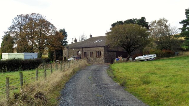
Clough Bottom is a picturesque valley located in the county of Lancashire, England. Situated near the town of Burnley, it is a tranquil and serene area that is known for its natural beauty and charming countryside.

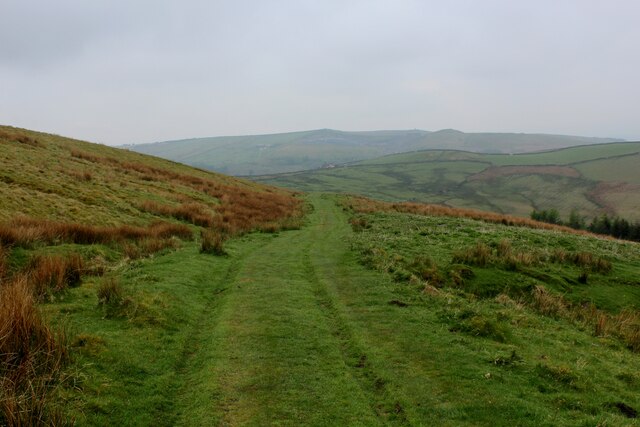
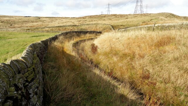
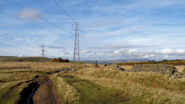
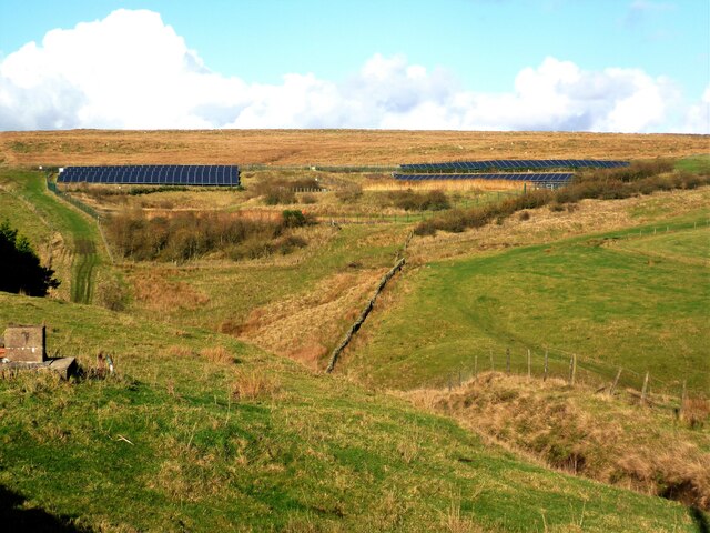
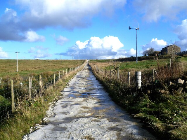
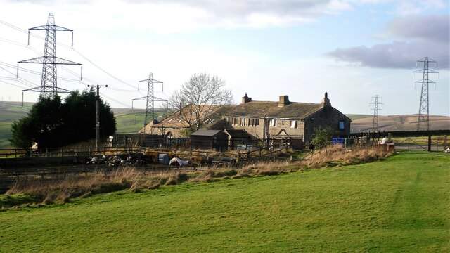
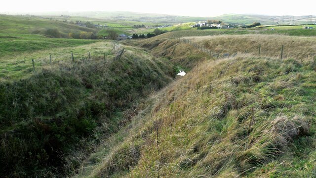
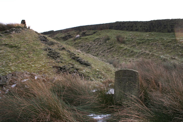
The valley of Clough Bottom is surrounded by rolling hills and dense woodland, providing a stunning backdrop for outdoor enthusiasts and nature lovers. The area is popular for hiking, walking, and cycling, with numerous trails and paths to explore. The valley is also home to a diverse range of wildlife, including various bird species, deer, and squirrels.

The landscape of Clough Bottom is characterized by its lush green fields, babbling brooks, and meandering streams. The valley is crisscrossed by the River Brun, which adds to its scenic appeal. The river is often used for fishing, and it is known for its abundant trout population.

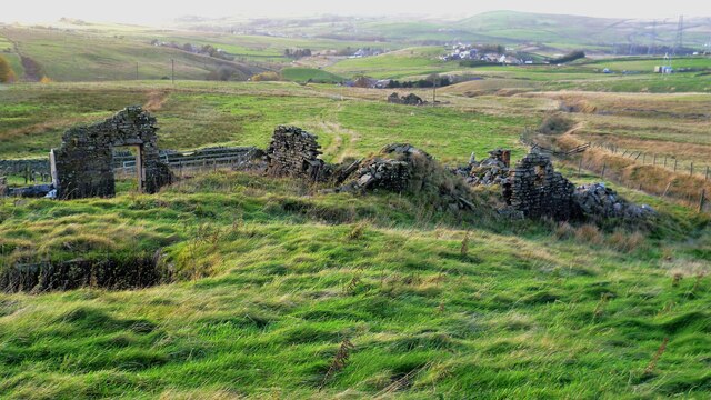
In addition to its natural charm, Clough Bottom is also home to several historic features. The remains of Clough Bottom Mill, a former cotton mill dating back to the 19th century, can still be seen in the valley. The mill played an important role in Lancashire's industrial heritage.

Overall, Clough Bottom is a hidden gem in Lancashire, offering a peaceful escape from the hustle and bustle of urban life. Its idyllic setting, abundant wildlife, and historical significance make it a must-visit destination for those seeking a taste of rural England.

If you have any feedback on the listing, please let us know in the comments section below.

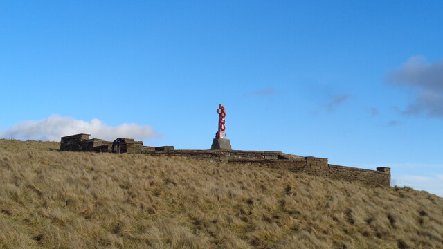
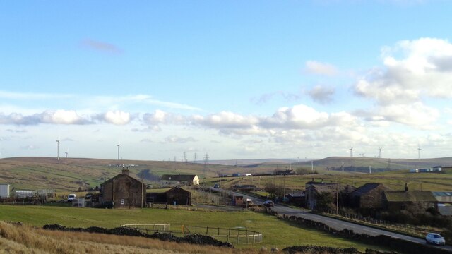
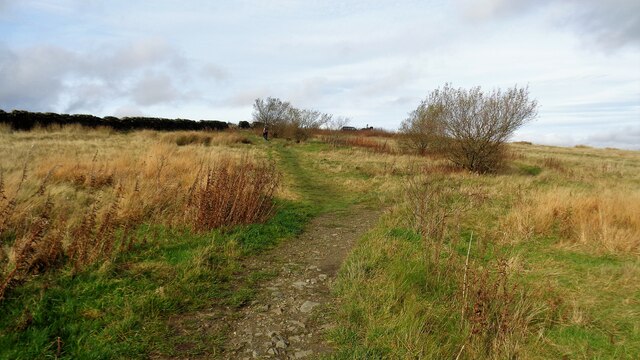
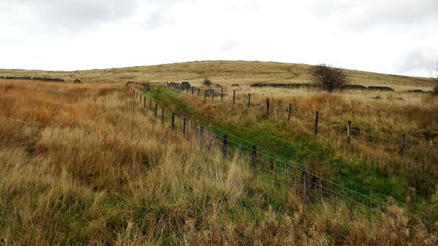
Clough Bottom Images

Images are sourced within 2km of 53.73844/-2.2225617 or Grid Reference SD8526. Thanks to Geograph Open Source API. All images are credited.

Old Boundary Marker on Bacup Old Road Municipal Boundary Marker on the east side of Bacup Old Road, southeast of its junction with the A671 Burnley Road. On the boundary of Cliviger parish and the former Newchurch parish. One of a series marking the boundary of Bacup Borough.

Milestone Society National ID: LA_BACCLI02pb
Old Boundary Marker on Bacup Old Road
Municipal Boundary Marker on the east side of Bacup Old Road, southeast of its junction with the A671 Burnley Road. On the boundary of Cliviger parish and the former Newchurch parish. One of a series marking the boundary of Bacup Borough. Milestone Society National ID: LA_BACCLI02pb
Old Boundary Marker west of Burnley Road Municipal Boundary Marker set in a drystone wall beside the disused tramway of Deerplay Colliery, 75 metres west of the B671 Burnley Road. On the boundary of Cliviger parish and the former Newchurch parish. One of a series marking the boundary of Bacup Borough. Inscribed 31 / B B.

Milestone Society National ID: LA_BACCLI03pb
Old Boundary Marker west of Burnley Road
Municipal Boundary Marker set in a drystone wall beside the disused tramway of Deerplay Colliery, 75 metres west of the B671 Burnley Road. On the boundary of Cliviger parish and the former Newchurch parish. One of a series marking the boundary of Bacup Borough. Inscribed 31 / B B. Milestone Society National ID: LA_BACCLI03pb
Trig Point on Thieveley Pike Highest point on Deerplay Moor at 449 metres.
The trig point now supports a fresh coat of white paint.
Trig Point on Thieveley Pike
Highest point on Deerplay Moor at 449 metres. The trig point now supports a fresh coat of white paint.
Grass Track on the Flanks of Deerplay Moor
Weir and District War Memorial On Deerplay Hill
Weir and District War Memorial
On Deerplay Hill
Farms on Burnley Road View towards Bacup from Weir War Memorial on Deerplay Hill
Farms on Burnley Road
View towards Bacup from Weir War Memorial on Deerplay Hill
White Hill Circular Walk Part of the marked path near Crown Point Road which meanders such that short cuts have been made. The gravel path which is not being used is becoming overgrown and the short cuts a source of surface erosion.
White Hill Circular Walk
Part of the marked path near Crown Point Road which meanders such that short cuts have been made. The gravel path which is not being used is becoming overgrown and the short cuts a source of surface erosion.
Farmer's Track to White Hill This track links the hill and Burnley Road (B6238) and is used by the Pennine Bridleway for part of the route
Farmer's Track to White Hill
This track links the hill and Burnley Road (B6238) and is used by the Pennine Bridleway for part of the route
Reservoir Catchwater For Clough Bottom Reservoir
Reservoir Catchwater
For Clough Bottom Reservoir
Approaching Swallow Shore
Approaching Compston's Cross On the Rossendale Way and the White Hill Circular Walk. The cross was erected in 1902 and may partly replace the two lost wayside crosses in this area
Approaching Compston's Cross
On the Rossendale Way and the White Hill Circular Walk. The cross was erected in 1902 and may partly replace the two lost wayside crosses in this area
View across new woodland to Crown Point The woodland would appear to be part of the Dunnockshaw Community Woodland project
View across new woodland to Crown Point
The woodland would appear to be part of the Dunnockshaw Community Woodland project
Solar Panels at former Deerplay Colliery Site Around the lagoons that are cleaning the mine water coming from the former colliery
Solar Panels at former Deerplay Colliery Site
Around the lagoons that are cleaning the mine water coming from the former colliery
Harrow Stiles Lane Used by Rossendale Way. At this point by Sod Hey Farm the farm track surface appears to have been laid using a very wet cement mix with little aggregate
Harrow Stiles Lane
Used by Rossendale Way. At this point by Sod Hey Farm the farm track surface appears to have been laid using a very wet cement mix with little aggregate
Approaching Clifton On the Rossendale Way
Approaching Clifton
On the Rossendale Way
A side clough of Shepherd Clough An unnamed clough south of Clifton and on a path that has been a public right of way but seems to have been extinguished as such around Clifton. There is a stile into the clough coming from the south but no proper facility out to approach Clifton
A side clough of Shepherd Clough
An unnamed clough south of Clifton and on a path that has been a public right of way but seems to have been extinguished as such around Clifton. There is a stile into the clough coming from the south but no proper facility out to approach Clifton
Remains of Dean Head There are two distinct ruins at Dean Head and this is the building to the north
Remains of Dean Head
There are two distinct ruins at Dean Head and this is the building to the north
Track embankment across Black Clough According to OS maps this track is relatively recent apparently going to a tipping site on Heald Moor
Track embankment across Black Clough
According to OS maps this track is relatively recent apparently going to a tipping site on Heald Moor
Show me another place!

Clough Bottom is located at Grid Ref: SD8526 (Lat: 53.73844, Lng: -2.2225617)

Administrative County: Lancashire

District: Rossendale

Police Authority: Lancashire

What 3 Words

///puddings.logbook.irritated. Near Bacup, Lancashire

Nearby Locations

Bent Hill Clough Bottom

Related Wikis

Water, Lancashire

Water is a hamlet in the borough of Rossendale, in Lancashire, England. Located north of the village of Lumb. It is mostly made of a few homes, farms,...

Singing Ringing Tree (sculpture)

The Singing Ringing Tree is a wind powered sound sculpture resembling a tree set in the landscape of the Pennine hill range overlooking Burnley, in Lancashire...

Holme railway station (Lancashire)

Holme railway station served Holme Chapel on the Copy Pit line. The station closed in July 1930 and the line now serves as a non-stop route between Hebden...

Weir, Lancashire

Weir is a village to the north of Bacup in the Rossendale borough of Lancashire, England, and immediately south of the boundary with the Borough of Burnley...

Gambleside

Gambleside is an abandoned village located in northern Rossendale close to the boundary with Burnley's Dunnockshaw parish. In the late Middle Ages Gambleside...

Lumb, Rawtenstall

Lumb is a small village in the Rossendale district of Lancashire, England. It lies in the valley of the Whitewell Brook, 3 miles (5 km) north east of Rawtenstall...

A671 road

The A671 is a road in the North West of England, that runs between Oldham, Greater Manchester and Worston, near Clitheroe, Lancashire. Major towns on the...

Church of St John the Divine, Holme Chapel

The Church of St John the Divine is in Burnley Road, Holme Chapel, a village in the civil parish of Cliviger, near Burnley, Lancashire, England. It is...

Have you been to Clough Bottom?

Leave your review of Clough Bottom below (or comments, questions and feedback).