Dean
Settlement in Oxfordshire West Oxfordshire
England
Dean

Dean is a small village located in the county of Oxfordshire, England. Situated approximately 4 miles southwest of the city of Oxford, Dean is nestled in a picturesque rural setting, surrounded by lush countryside and rolling hills. The village falls within the Cherwell district and has a population of around 400 residents.
Dean boasts a rich history, with evidence of human habitation dating back to the prehistoric era. The village is dotted with charming old houses and buildings, showcasing a mix of architectural styles from different periods. St. John the Baptist Church, a Grade II listed building, is a prominent feature of Dean, with its beautiful stained glass windows and a striking tower.
Although small in size, Dean offers a range of amenities to cater to its residents. The village has a local primary school, providing education for children in the area. Additionally, there is a village hall that hosts various community events and gatherings throughout the year. For outdoor enthusiasts, the surrounding countryside provides ample opportunities for walking, cycling, and exploring the natural beauty of the region.
Despite its tranquil rural setting, Dean benefits from its proximity to Oxford. The city offers a wide range of cultural, educational, and recreational opportunities, including world-renowned museums, theaters, and a vibrant nightlife. This makes Dean an ideal location for those seeking a peaceful village lifestyle while still having access to the amenities and excitement of a nearby city.
If you have any feedback on the listing, please let us know in the comments section below.
Dean Images
Images are sourced within 2km of 51.900851/-1.502893 or Grid Reference SP3422. Thanks to Geograph Open Source API. All images are credited.


Dean is located at Grid Ref: SP3422 (Lat: 51.900851, Lng: -1.502893)
Administrative County: Oxfordshire
District: West Oxfordshire
Police Authority: Thames Valley
What 3 Words
///mammoth.coining.unzipped. Near Charlbury, Oxfordshire
Related Wikis

Dean, Oxfordshire
Dean is a hamlet in Spelsbury civil parish, about 2 miles (3 km) north of Charlbury and 3.5 miles (5.6 km) southeast of Chipping Norton, Oxfordshire. Its...

Spelsbury
Spelsbury is a village and civil parish about 1.5 miles (2.4 km) north of Charlbury and about 4 miles (6.4 km) southeast of Chipping Norton, Oxfordshire...

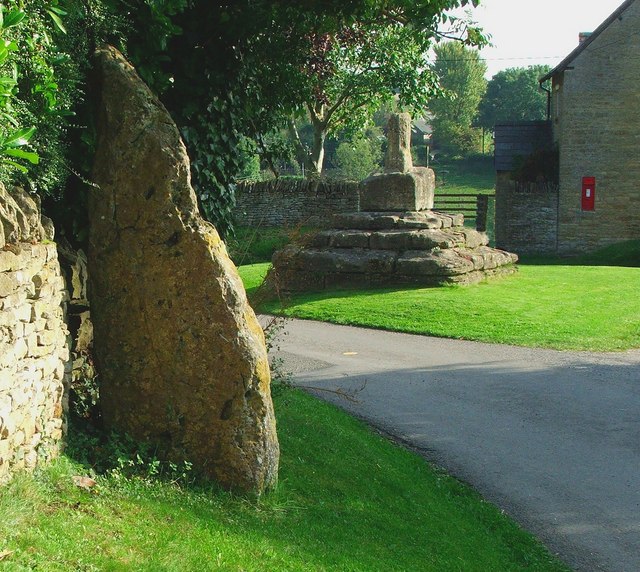
Hawk Stone
The Hawk Stone is a neolithic standing stone just north of the hamlet of Dean, Oxfordshire, England near Diddly Squat Farm belonging to Jeremy Clarkson...

Chadlington
Chadlington is a village and civil parish in the Evenlode Valley about 3 miles (5 km) south of Chipping Norton, Oxfordshire. The village has four neighbourhoods...
Taston
Taston is a hamlet in Spelsbury civil parish, about 1.6 miles (2.6 km) north of Charlbury and 4 miles (6.4 km) southeast of Chipping Norton, Oxfordshire...

Lidstone
Lidstone is a hamlet on the River Glyme in Oxfordshire, about 3 miles (5 km) east of Chipping Norton. The hamlet is in Enstone civil parish, about 1+1...

Knollbury
Knollbury is a scheduled Iron Age hillfort enclosure to the north west of Chadlington in Oxfordshire. Believed to be defensive in nature the enclosure...

Shorthampton
Shorthampton is a hamlet in Chilson civil parish about 2 miles (3 km) west of Charlbury, in Oxfordshire, England. The oldest parts of the Church of England...
Nearby Amenities
Located within 500m of 51.900851,-1.502893Have you been to Dean?
Leave your review of Dean below (or comments, questions and feedback).