Riverside Plantation
Wood, Forest in Derbyshire Derbyshire Dales
England
Riverside Plantation
Riverside Plantation is a stunning estate located in Derbyshire, England. Nestled amidst the picturesque Wood and Forest areas, this plantation offers a unique blend of natural beauty and historical charm.
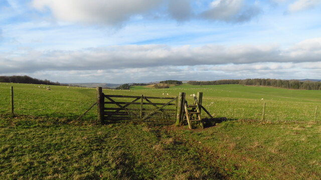
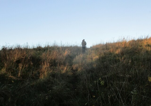
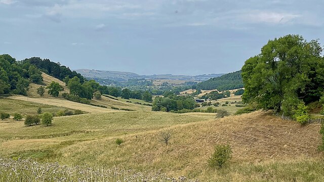
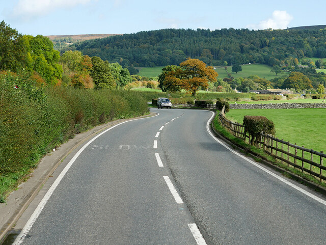
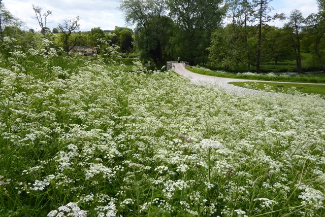
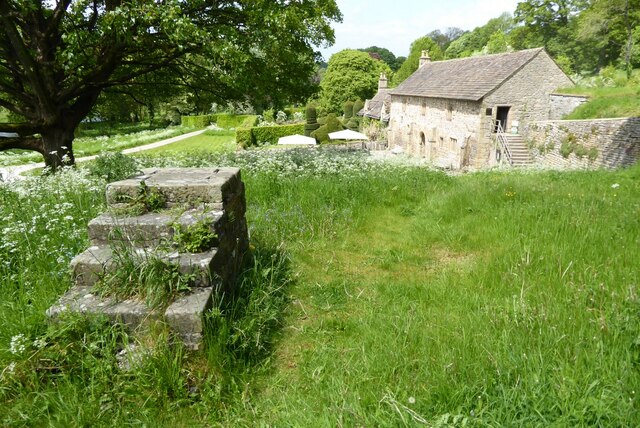
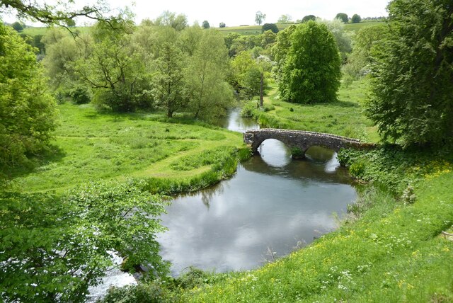
Spread across acres of lush greenery, Riverside Plantation boasts a diverse range of flora and fauna, making it a haven for nature enthusiasts and wildlife lovers. The plantation is strategically situated on the banks of a serene river, providing visitors with breathtaking views and a tranquil atmosphere. The surrounding Wood and Forest areas add to the plantation's allure, with their ancient trees and enchanting trails.
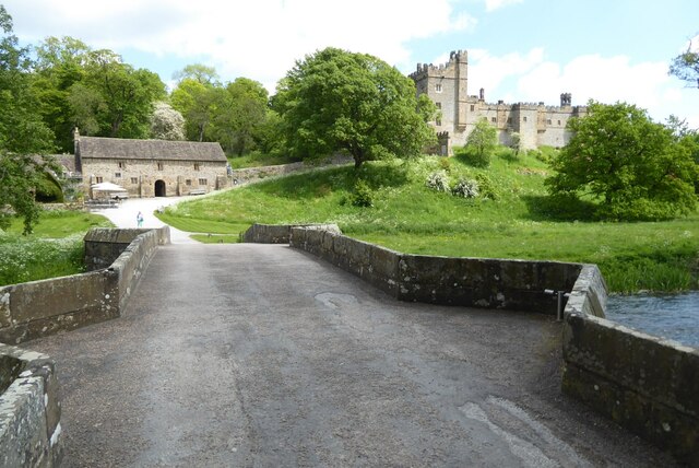
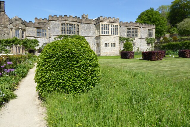
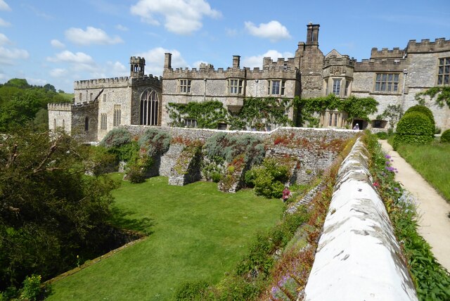
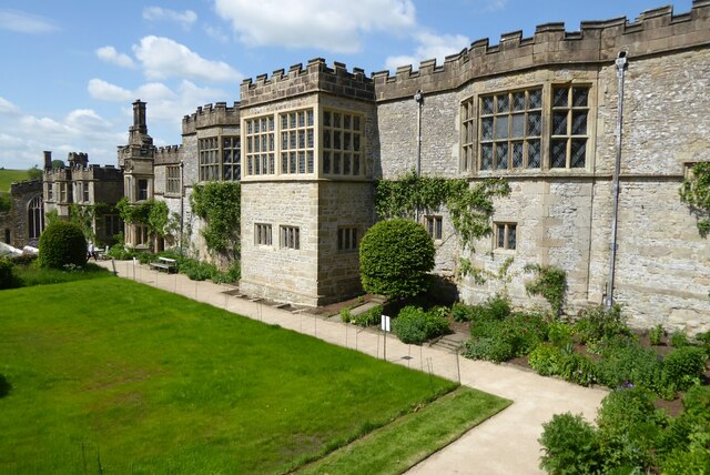
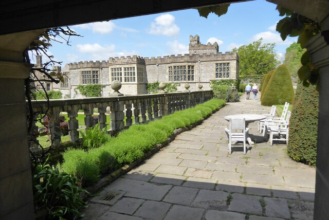
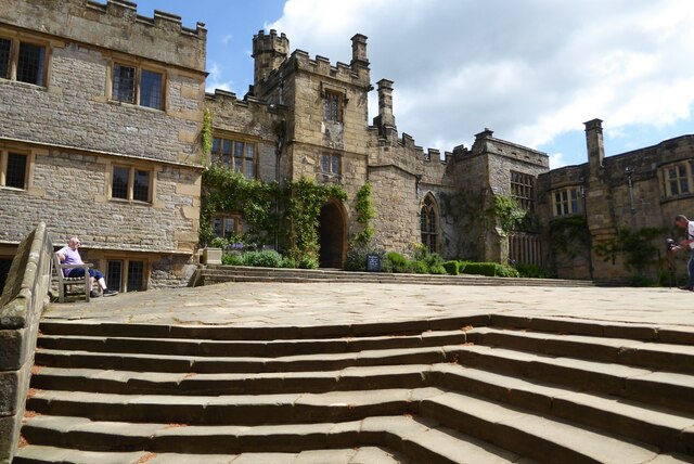
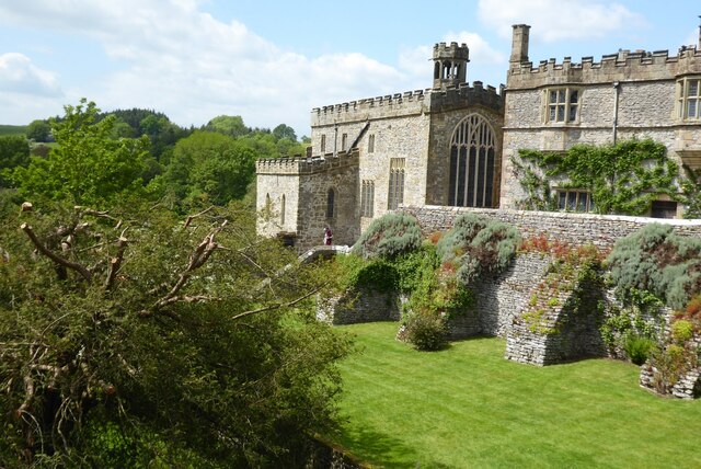
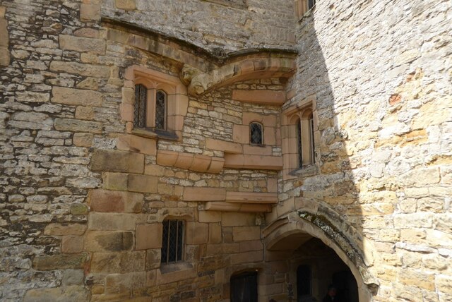
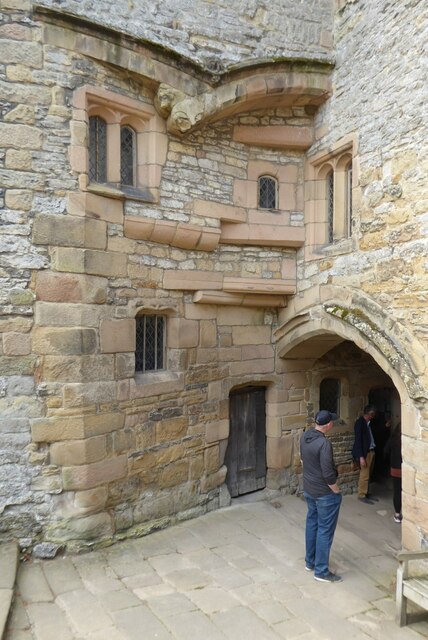
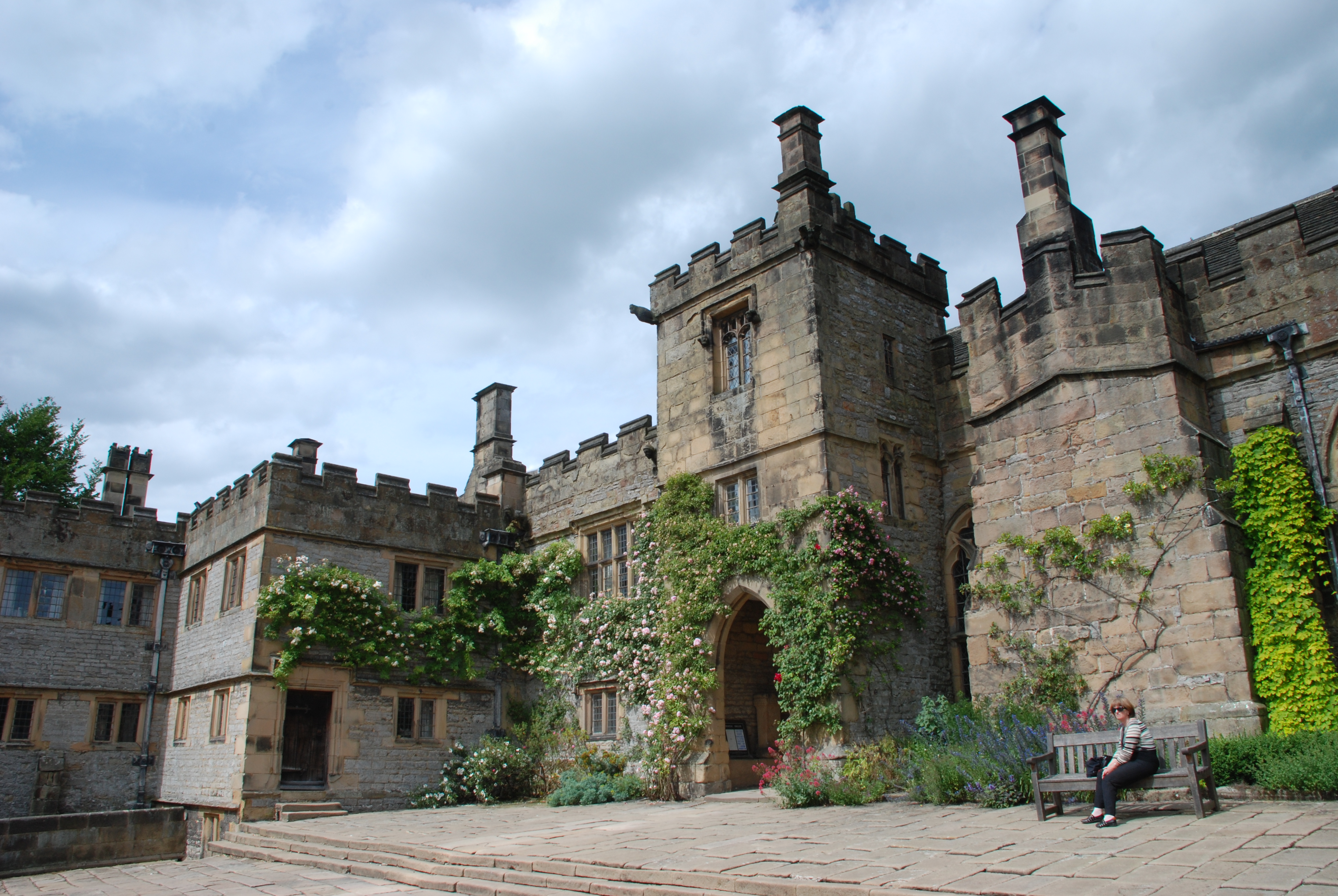
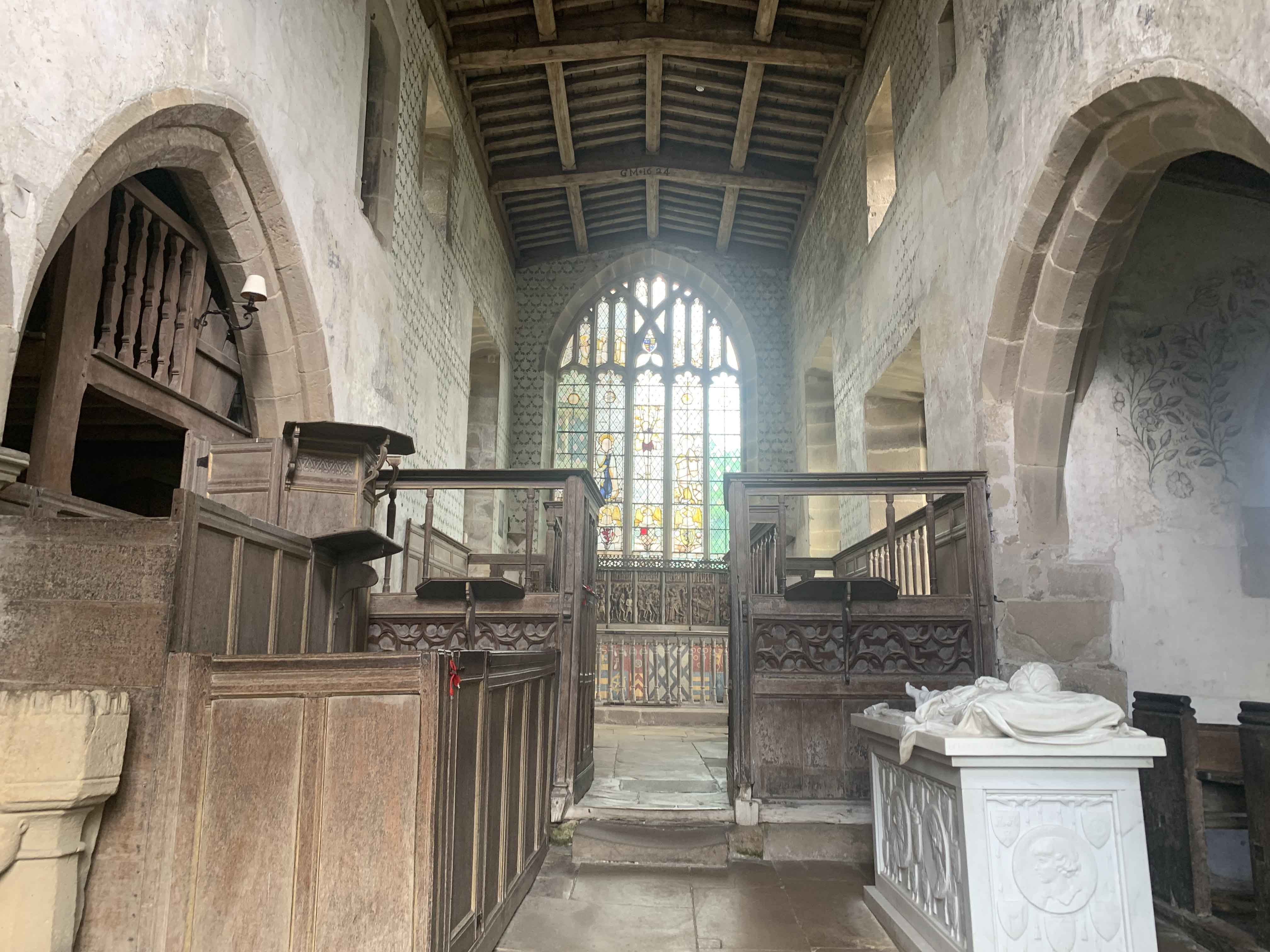
The history of Riverside Plantation dates back several centuries, and its architecture reflects the grandeur of the past. The main house, a magnificent stone structure, features elegant Georgian and Victorian elements. The interior is adorned with intricate woodwork, original fireplaces, and luxurious furnishings, exuding a sense of opulence and refinement.
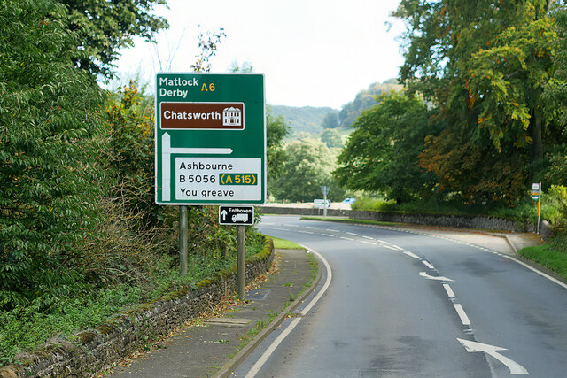
The estate offers various activities for visitors to indulge in. Outdoor enthusiasts can explore the extensive network of walking and cycling trails that crisscross the plantation, offering stunning vistas at every turn. Fishing enthusiasts can try their luck in the river, which is known for its abundant trout and salmon. For those seeking relaxation, the plantation also features beautifully landscaped gardens and a charming tea room where one can enjoy a leisurely afternoon tea.
Riverside Plantation is not only a popular destination for tourists but also hosts weddings, corporate events, and private parties. With its idyllic surroundings, rich history, and range of activities, this plantation truly offers a memorable experience for all who visit.
If you have any feedback on the listing, please let us know in the comments section below.
Riverside Plantation Images
Images are sourced within 2km of 53.195952/-1.6568722 or Grid Reference SK2366. Thanks to Geograph Open Source API. All images are credited.
Riverside Plantation is located at Grid Ref: SK2366 (Lat: 53.195952, Lng: -1.6568722)
Administrative County: Derbyshire
District: Derbyshire Dales
Police Authority: Derbyshire
What 3 Words
///traded.parsnip.stammer. Near Bakewell, Derbyshire
Related Wikis
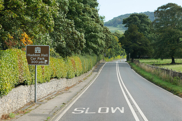
Haddon Hall
Haddon Hall is an English country house on the River Wye near Bakewell, Derbyshire, a former seat of the Dukes of Rutland. It is the home of Lord Edward...
Haddon Tunnel
Haddon Tunnel was built by the Midland Railway in 1863 when extending the Manchester, Buxton, Matlock and Midlands Junction Railway from Rowsley to Buxton...
Chapel of St Nicholas, Haddon Hall
The Chapel St John Nicholas, Haddon Hall is a Grade I listed Church of England chapel in Haddon Hall, Derbyshire. The chapel's origins are Norman, with...
Nether Haddon
Nether Haddon is a sparsely populated village and civil parish in Derbyshire, England. It is immediately downstream along the River Wye from the small...
Nearby Amenities
Located within 500m of 53.195952,-1.6568722Have you been to Riverside Plantation?
Leave your review of Riverside Plantation below (or comments, questions and feedback).