Haddon Park
Downs, Moorland in Derbyshire Derbyshire Dales
England
Haddon Park
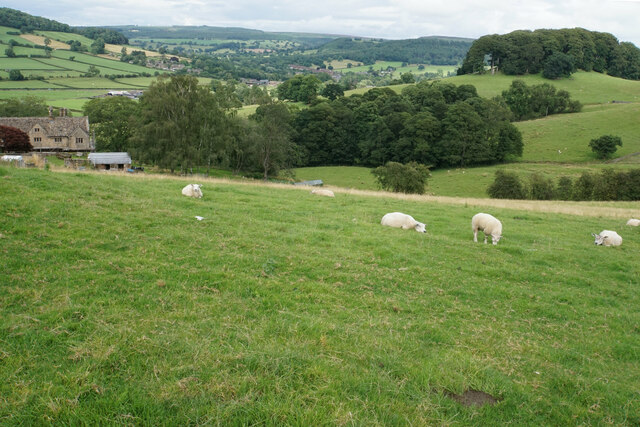
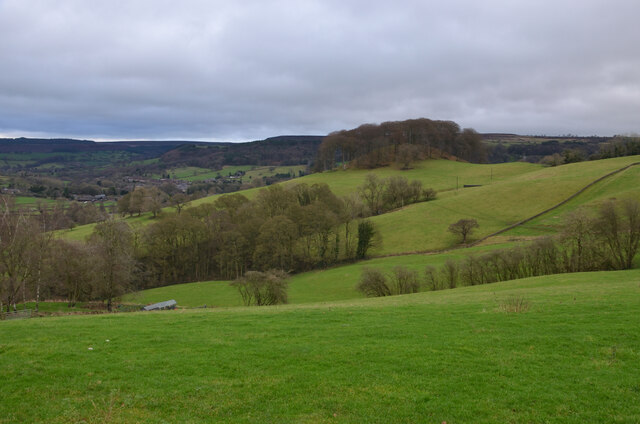
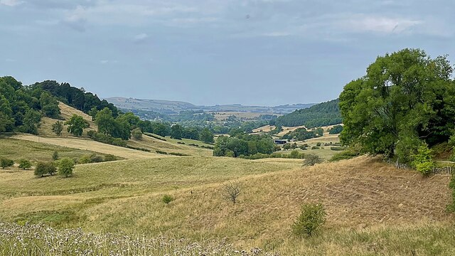
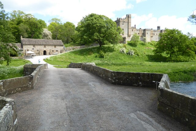
Haddon Park is a picturesque area located in Derbyshire, England. Nestled amidst the stunning landscape of the Peak District, this park offers visitors a perfect blend of natural beauty and historical significance. The park covers a vast expanse of downs and moorland, providing visitors with an opportunity to explore and immerse themselves in the serene surroundings.
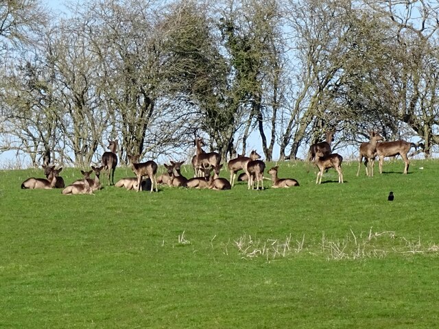
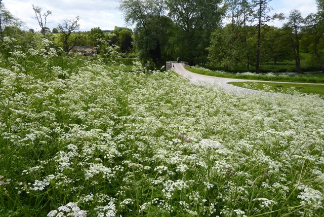
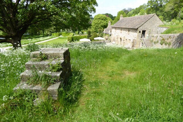
One of the key attractions of Haddon Park is its diverse flora and fauna. The downs are covered in lush green grass, interspersed with vibrant wildflowers. This creates a vibrant tapestry of colors, especially during the spring and summer months. The moorland, on the other hand, is characterized by heather-covered hills and rocky outcrops, providing a striking contrast to the downs.
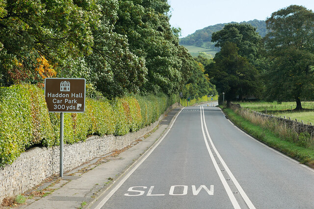
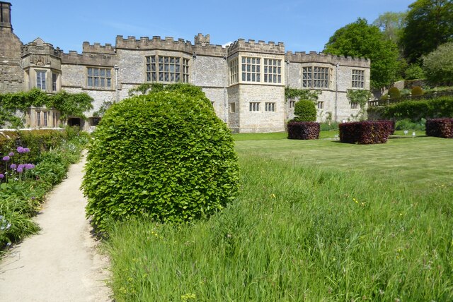
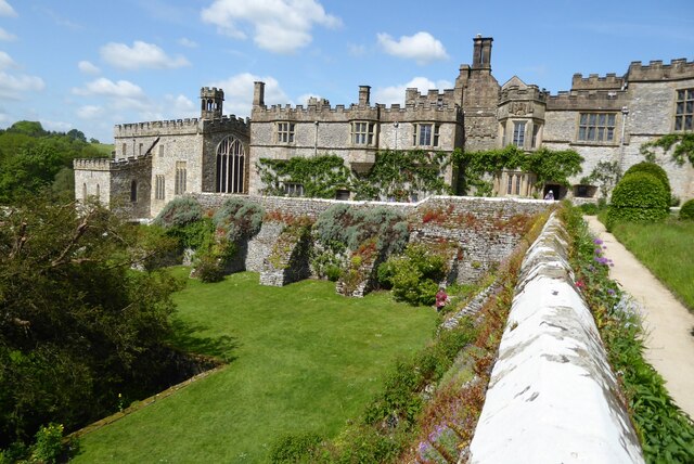
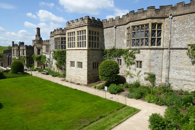
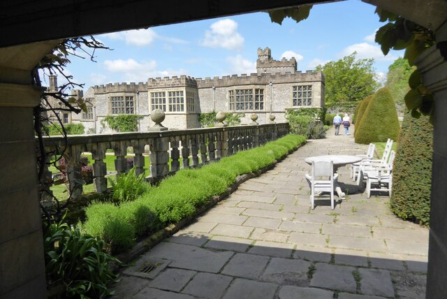
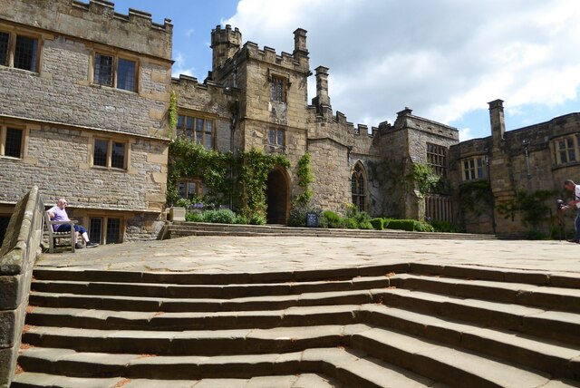
In addition to its natural beauty, Haddon Park also boasts a rich history. The park is home to Haddon Hall, a medieval manor house that dates back to the 12th century. The hall is renowned for its well-preserved architecture and stunning gardens, which attract history enthusiasts and garden lovers alike.
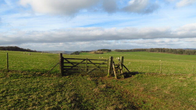
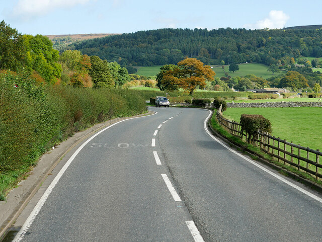
Visitors to Haddon Park can enjoy a variety of activities. The park offers numerous walking trails, allowing visitors to explore the downs and moorland at their own pace. There are also picnic areas where visitors can relax and soak in the breathtaking views. Additionally, guided tours of Haddon Hall are available, providing visitors with insight into the history and architecture of this magnificent structure.
Overall, Haddon Park is a must-visit destination for nature lovers, history enthusiasts, and anyone seeking a peaceful retreat in the heart of Derbyshire. With its stunning downs, moorland, and historical attractions, this park offers a truly unforgettable experience.
If you have any feedback on the listing, please let us know in the comments section below.
Haddon Park Images
Images are sourced within 2km of 53.194936/-1.6507135 or Grid Reference SK2366. Thanks to Geograph Open Source API. All images are credited.


Haddon Park is located at Grid Ref: SK2366 (Lat: 53.194936, Lng: -1.6507135)
Administrative County: Derbyshire
District: Derbyshire Dales
Police Authority: Derbyshire
What 3 Words
///blanks.mystery.unfilled. Near Bakewell, Derbyshire
Related Wikis
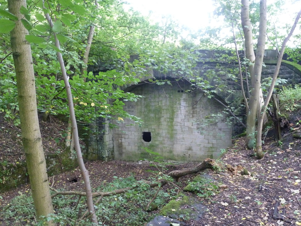
Haddon Tunnel
Haddon Tunnel was built by the Midland Railway in 1863 when extending the Manchester, Buxton, Matlock and Midlands Junction Railway from Rowsley to Buxton...
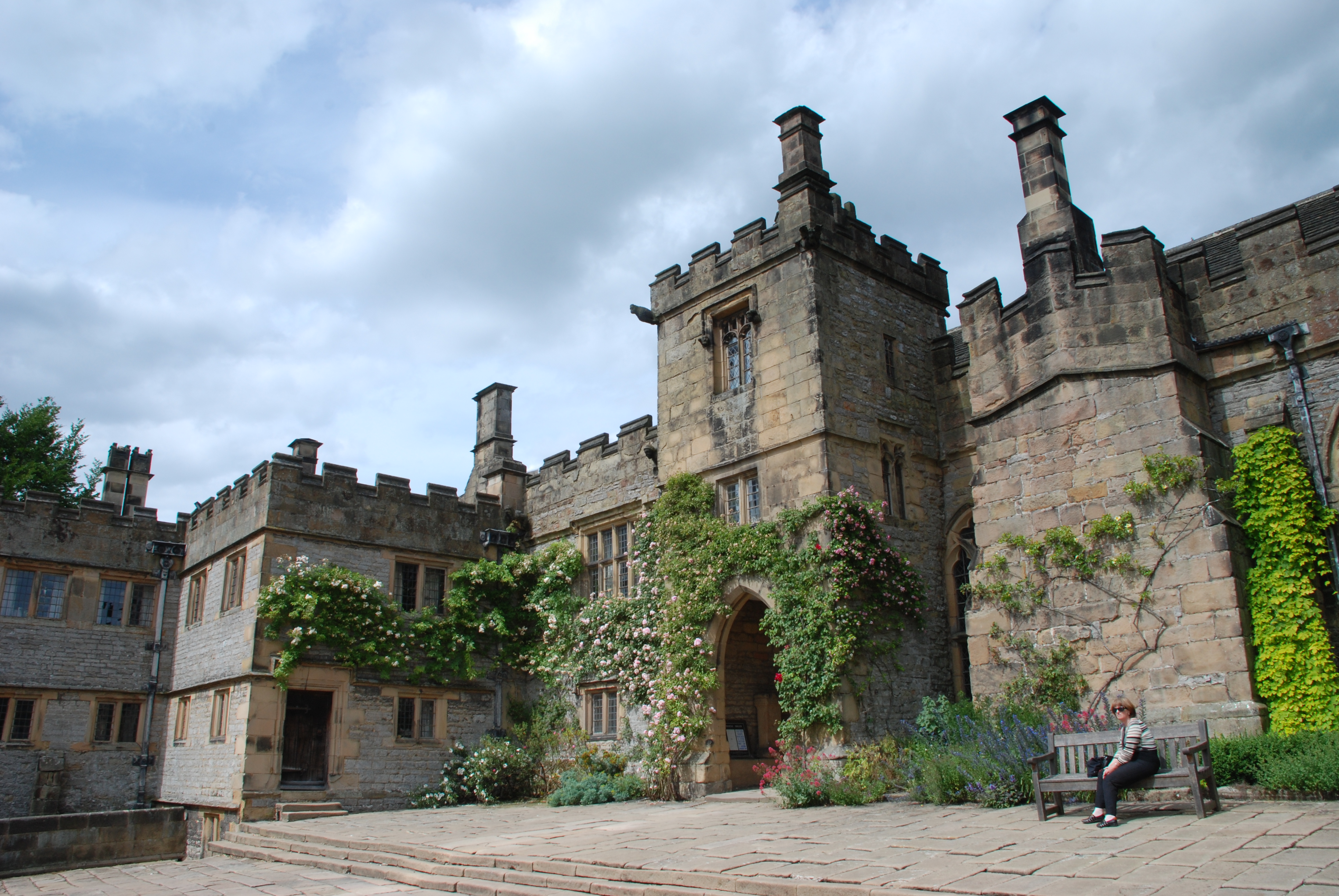
Haddon Hall
Haddon Hall is an English country house on the River Wye near Bakewell, Derbyshire, a former seat of the Dukes of Rutland. It is the home of Lord Edward...
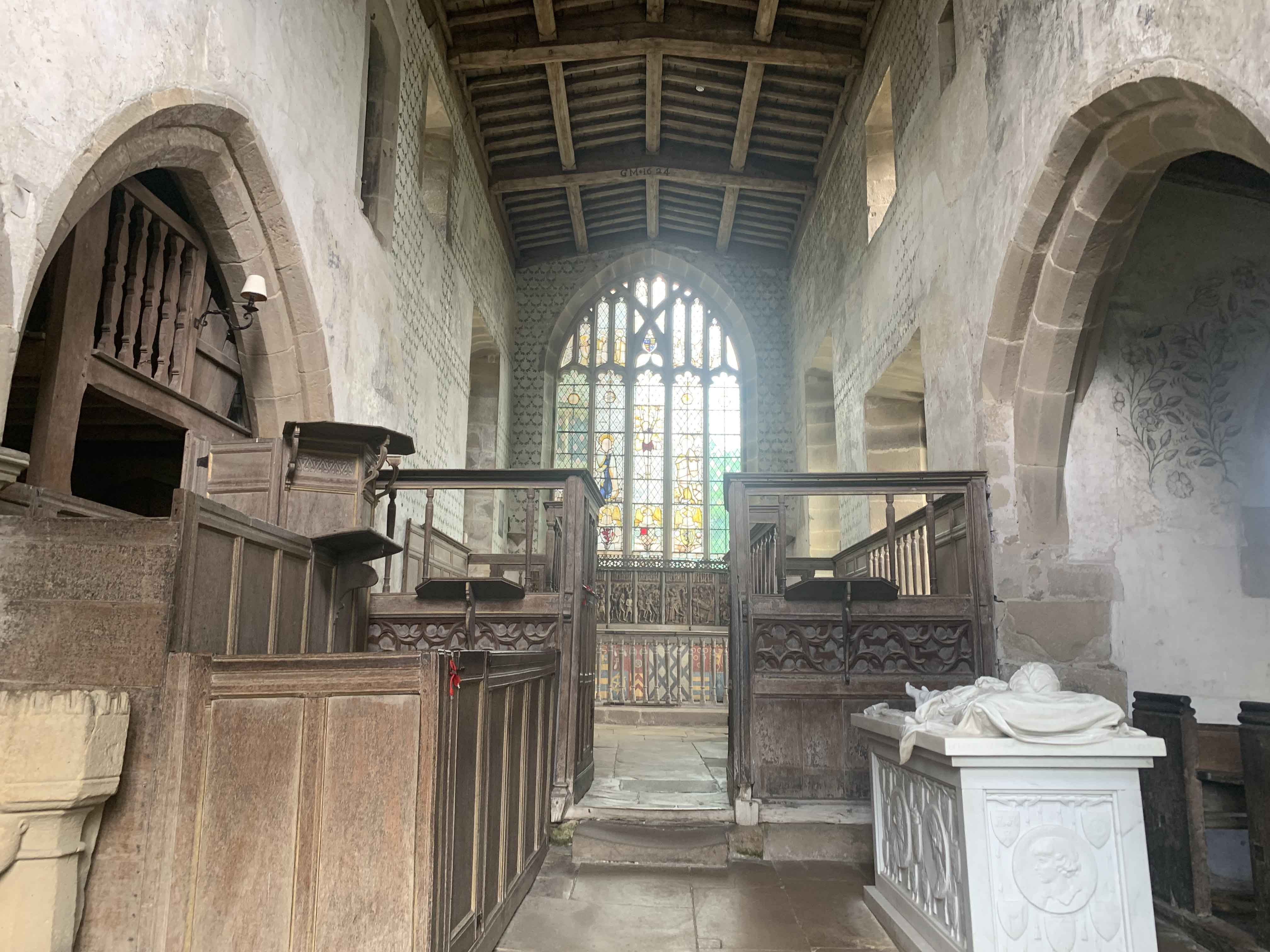
Chapel of St Nicholas, Haddon Hall
The Chapel St John Nicholas, Haddon Hall is a Grade I listed Church of England chapel in Haddon Hall, Derbyshire. The chapel's origins are Norman, with...
Nether Haddon
Nether Haddon is a sparsely populated village and civil parish in Derbyshire, England. It is immediately downstream along the River Wye from the small...

River Lathkill
The River Lathkill is a river in the Peak District National Park in Derbyshire, England. First recorded in 1280, the name "Lathkill" possibly has Scandinavian...

Burton Closes
Burton Closes is a 19th-century country house, now in use as a residential nursing home, situated at Haddon Road, Bakewell, Derbyshire. It is a Grade II...

Harthill Hall
Harthill Hall was formerly the Manor House of a great 13th century Estate, and the hall is now a Grade II listed building within the civil parish of Harthill...
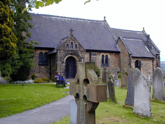
St Katherine's Church, Rowsley
St Katherine's Church, Rowsley is a Grade II listed parish church in the Church of England: 312 in Rowsley, Derbyshire. == History == The foundation stone...
Nearby Amenities
Located within 500m of 53.194936,-1.6507135Have you been to Haddon Park?
Leave your review of Haddon Park below (or comments, questions and feedback).