Cockroad Lawn
Downs, Moorland in Hampshire New Forest
England
Cockroad Lawn

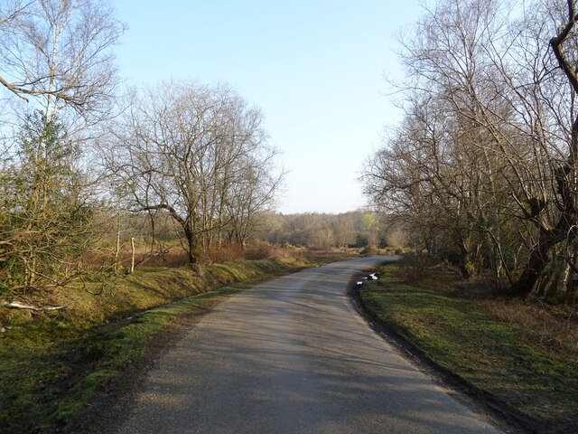
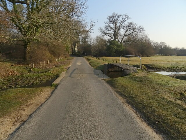
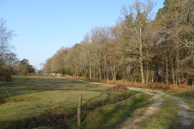
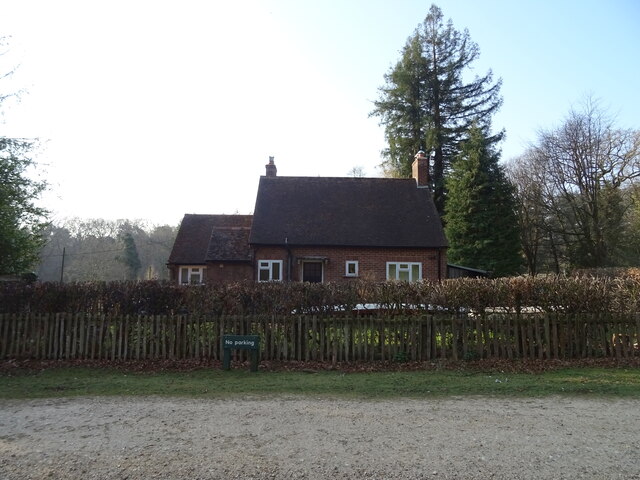
Cockroad Lawn, located in Hampshire, England, is a picturesque area renowned for its stunning natural beauty and diverse landscapes. Nestled within the expansive Hampshire Downs, this region showcases a harmonious blend of downs, moorland, and verdant meadows.
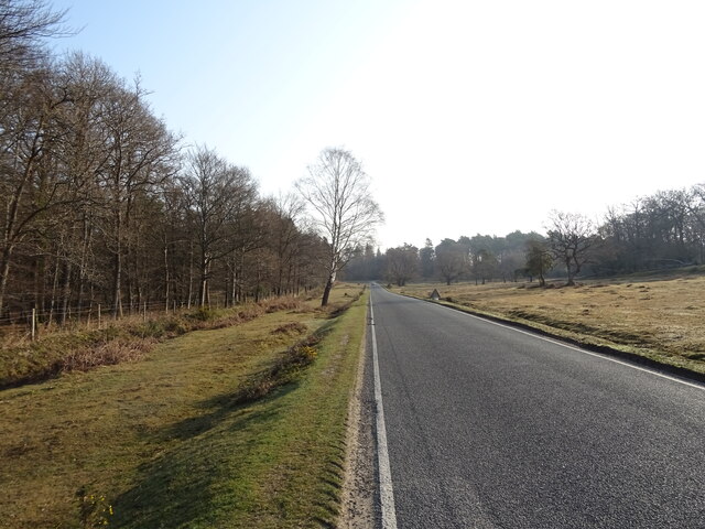
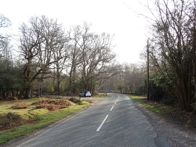
The Hampshire Downs, a range of rolling hills, dominate the landscape of Cockroad Lawn. These downs are characterized by their gentle slopes and lush greenery, attracting hikers, nature enthusiasts, and photographers alike. The panoramic views offered from the top of these hills are simply breathtaking, with sweeping vistas stretching out as far as the eye can see.
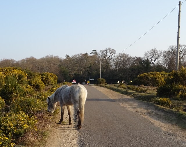
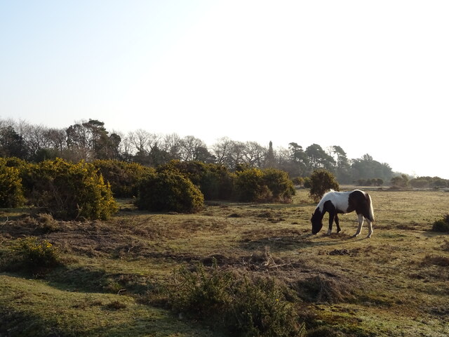
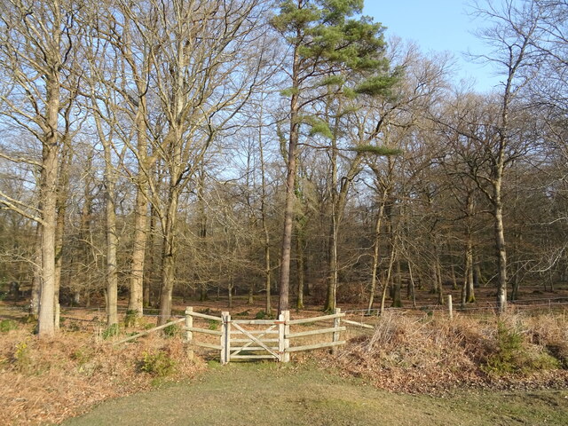
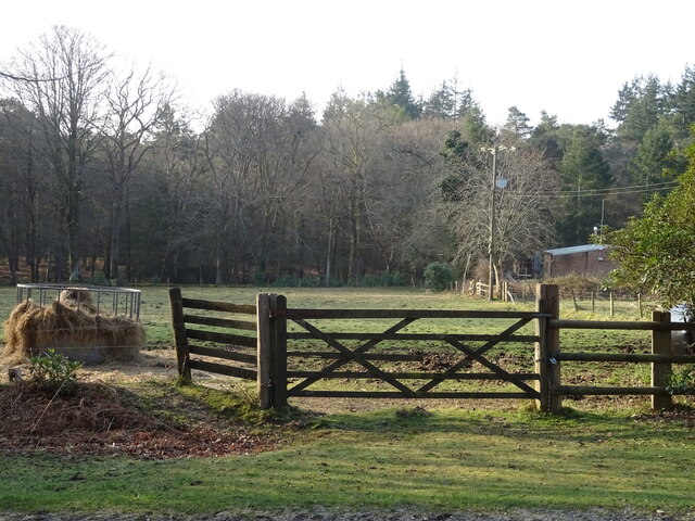
In addition to the downs, Cockroad Lawn is also home to vast stretches of moorland. These open expanses are covered in heather and gorse, creating a vibrant tapestry of colors throughout the year. Moorland birds, such as skylarks and stonechats, can often be spotted flitting about, adding to the area's rich biodiversity.
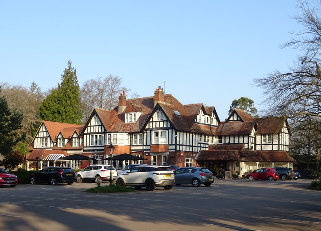
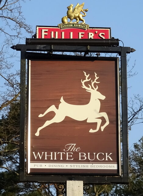
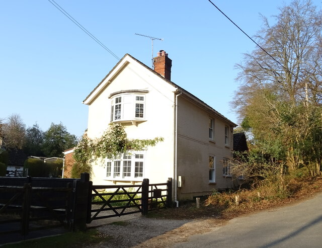
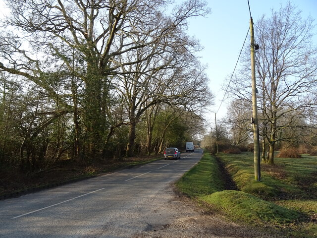
The region is also dotted with charming villages and hamlets, providing a glimpse into rural Hampshire life. These settlements maintain their traditional charm, with thatched cottages, quaint churches, and welcoming pubs offering a warm and inviting atmosphere to visitors.
Cockroad Lawn's diverse landscapes and natural wonders make it an ideal destination for outdoor activities such as walking, hiking, and birdwatching. The area's peaceful ambiance and unspoiled beauty make it a haven for nature lovers seeking tranquility and a connection with the great outdoors.
If you have any feedback on the listing, please let us know in the comments section below.
Cockroad Lawn Images
Images are sourced within 2km of 50.834359/-1.6683575 or Grid Reference SU2303. Thanks to Geograph Open Source API. All images are credited.


Cockroad Lawn is located at Grid Ref: SU2303 (Lat: 50.834359, Lng: -1.6683575)
Administrative County: Hampshire
District: New Forest
Police Authority: Hampshire
What 3 Words
///swung.cowering.saying. Near Burley, Hampshire
Nearby Locations
Related Wikis

Burley, Hampshire
Burley is a village and civil parish in the New Forest, Hampshire, England. It has ancient origins and is now somewhat tourist-orientated. == The village... ==

Holmsley railway station
Holmsley is a closed railway station in the county of Hampshire which served rural settlements in the New Forest. == History == The station was opened...

Bolderwood, Hampshire
Bolderwood is an area of the New Forest in Hampshire. Bolderwood hosts a deer sanctuary with a public deer observation platform. As a result, the public...

Castle Hill, Hampshire
Castle Hill is the site of an Iron Age univallate hillfort located in the civil parish of Burley in the New Forest national park in Hampshire, England...

Knightwood Oak
The Knightwood Oak is a pedunculate oak and the largest, and perhaps most famous, oak tree in the New Forest, in southern England. It is also known as...

New Forest West (UK Parliament constituency)
New Forest West is a constituency represented in the House of Commons of the UK Parliament since 1997 by Desmond Swayne, a Conservative. == Constituency... ==

Warwickslade Cutting Railway
The Warwickslade Cutting Railway was a light railway temporarily built to fill in the Warwickslade Cutting, a straight drainage ditch dug circa 1850 in...

New Forest
The New Forest is one of the largest remaining tracts of unenclosed pasture land, heathland and forest in Southern England, covering southwest Hampshire...
Nearby Amenities
Located within 500m of 50.834359,-1.6683575Have you been to Cockroad Lawn?
Leave your review of Cockroad Lawn below (or comments, questions and feedback).