Redrise Hill
Hill, Mountain in Hampshire New Forest
England
Redrise Hill

Redrise Hill is a prominent geographical feature located in the county of Hampshire, England. Situated in the southern part of the county, it is classified as a hill rather than a mountain due to its moderate elevation. The hill is part of the South Downs, a range of chalk hills that stretches across several counties in the south of England.
Rising to a height of around 200 meters (656 feet) above sea level, Redrise Hill offers stunning panoramic views of the surrounding countryside. On a clear day, visitors can admire the picturesque landscape that includes rolling hills, lush green fields, and charming villages nestled in the valleys below.
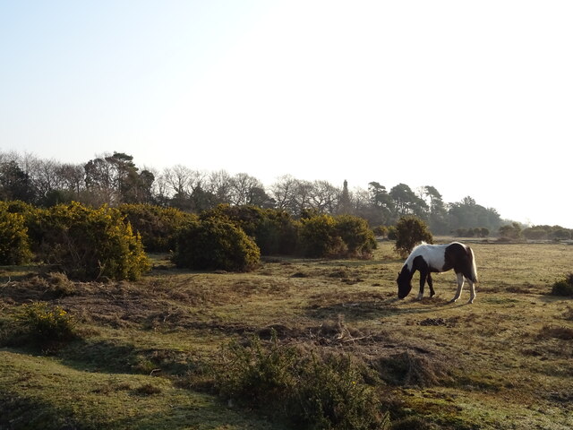
The hill is known for its rich biodiversity, hosting a variety of flora and fauna. The slopes are covered in a patchwork of different vegetation, including grasses, wildflowers, and shrubs. The area is also home to numerous species of birds, butterflies, and small mammals, creating a haven for nature enthusiasts and wildlife photographers alike.
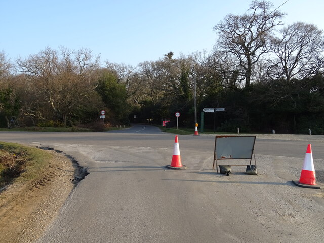
Redrise Hill is a popular destination for outdoor activities such as hiking and nature walks. Several well-marked trails crisscross the hill, offering visitors the opportunity to explore its natural beauty and enjoy the peaceful serenity of the countryside. In addition, the hill is easily accessible, with parking facilities and nearby amenities making it a convenient place for both locals and tourists to visit.
Overall, Redrise Hill in Hampshire offers a delightful blend of natural beauty, breathtaking views, and recreational opportunities, making it a cherished landmark in the region.
If you have any feedback on the listing, please let us know in the comments section below.
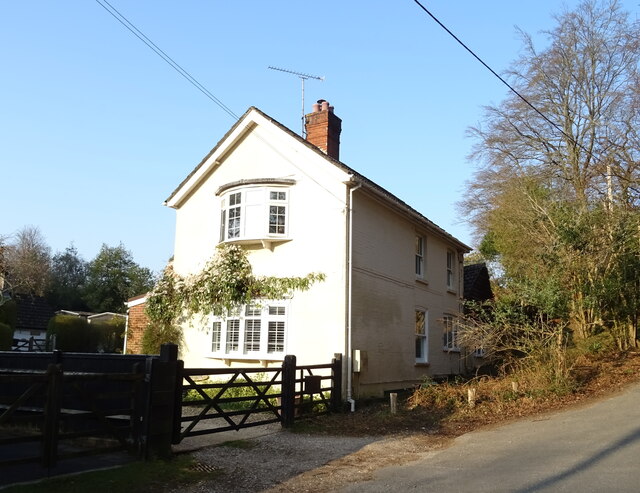
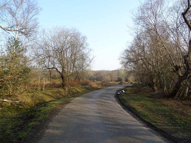
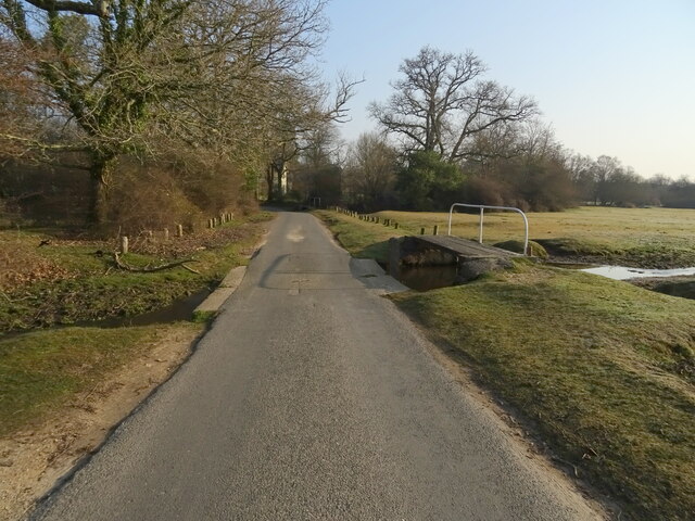
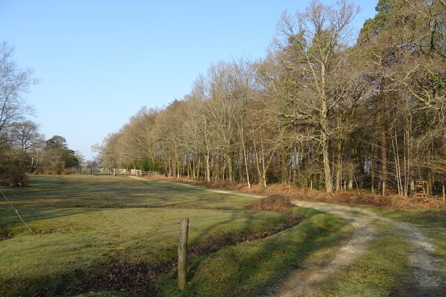
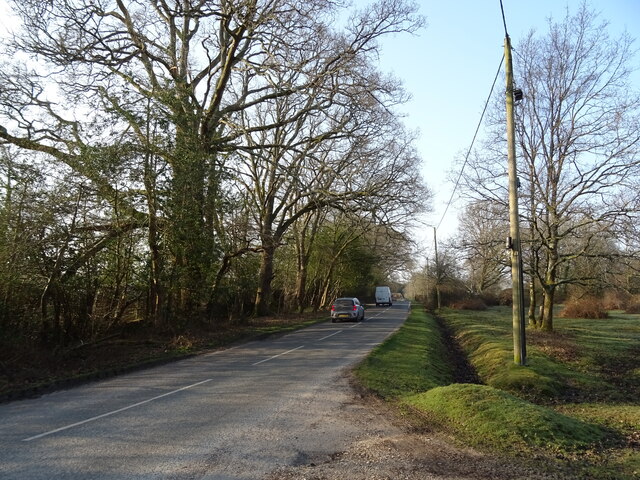
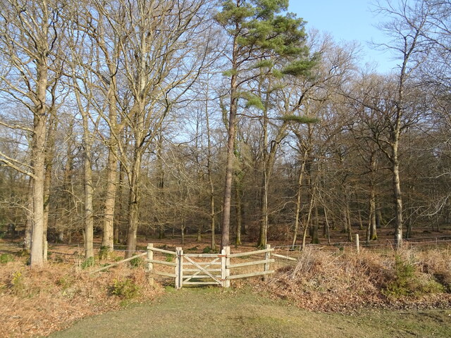
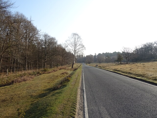
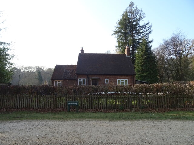
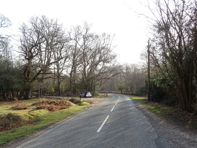
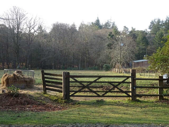
Redrise Hill Images
Images are sourced within 2km of 50.833726/-1.6639457 or Grid Reference SU2303. Thanks to Geograph Open Source API. All images are credited.


Redrise Hill is located at Grid Ref: SU2303 (Lat: 50.833726, Lng: -1.6639457)
Administrative County: Hampshire
District: New Forest
Police Authority: Hampshire
What 3 Words
///scorecard.ballroom.engineers. Near Burley, Hampshire
Nearby Locations
Related Wikis

Burley, Hampshire
Burley is a village and civil parish in the New Forest, Hampshire, England. It has ancient origins and is now somewhat tourist-orientated. == The village... ==

Holmsley railway station
Holmsley is a closed railway station in the county of Hampshire which served rural settlements in the New Forest. == History == The station was opened...

Bolderwood, Hampshire
Bolderwood is an area of the New Forest in Hampshire. Bolderwood hosts a deer sanctuary with a public deer observation platform. As a result, the public...

Castle Hill, Hampshire
Castle Hill is the site of an Iron Age univallate hillfort located in the civil parish of Burley in the New Forest national park in Hampshire, England...

Knightwood Oak
The Knightwood Oak is a pedunculate oak and the largest, and perhaps most famous, oak tree in the New Forest, in southern England. It is also known as...

New Forest West (UK Parliament constituency)
New Forest West is a constituency represented in the House of Commons of the UK Parliament since 1997 by Desmond Swayne, a Conservative. == Constituency... ==

Warwickslade Cutting Railway
The Warwickslade Cutting Railway was a light railway temporarily built to fill in the Warwickslade Cutting, a straight drainage ditch dug circa 1850 in...

New Forest
The New Forest is one of the largest remaining tracts of unenclosed pasture land, heathland and forest in Southern England, covering southwest Hampshire...
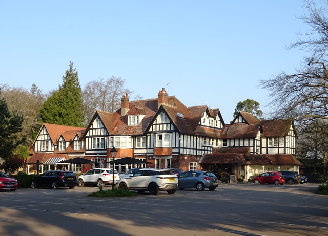
Nearby Amenities
Located within 500m of 50.833726,-1.6639457Have you been to Redrise Hill?
Leave your review of Redrise Hill below (or comments, questions and feedback).