Shoot Wood
Wood, Forest in Hampshire New Forest
England
Shoot Wood
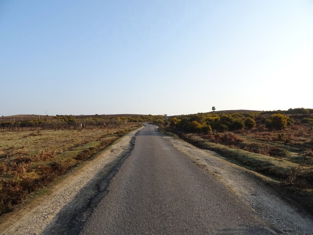
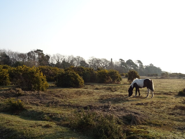
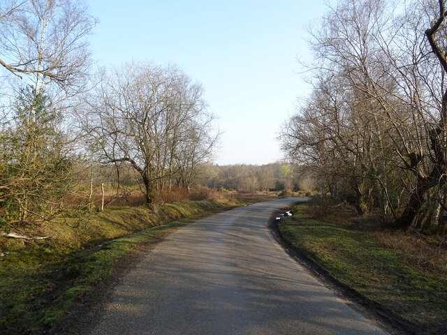
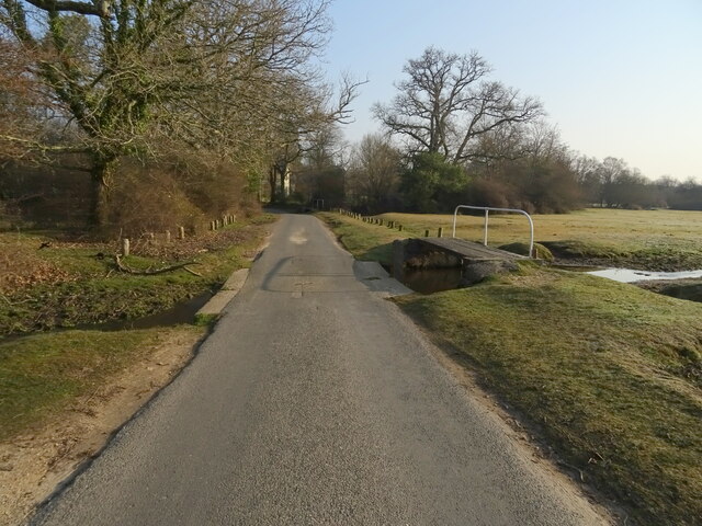
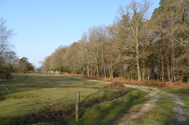
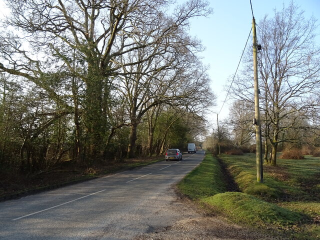
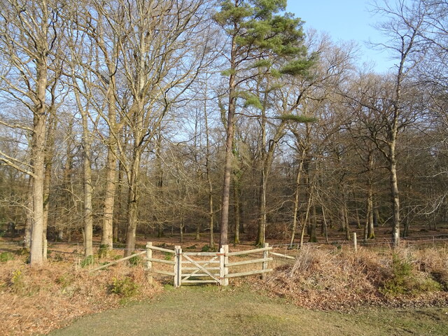
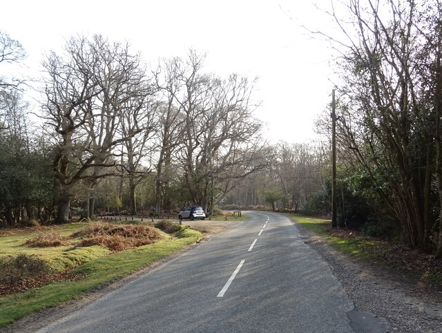
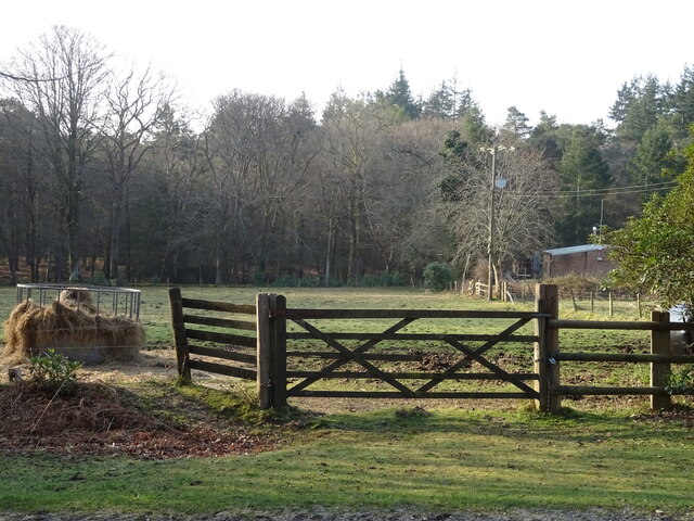
Shoot Wood is a dense forest located in the county of Hampshire, England. Covering an area of approximately 200 acres, this woodland is known for its natural beauty and diverse ecosystem. The forest consists mainly of deciduous trees, including oak, beech, and birch, which create a stunning canopy of foliage during the summer months.
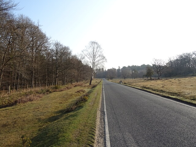
With its undulating terrain and well-maintained footpaths, Shoot Wood offers excellent opportunities for hiking and exploring nature. The forest also features a network of trails that cater to different levels of fitness and interests, making it a popular destination for both seasoned hikers and families seeking a leisurely stroll.
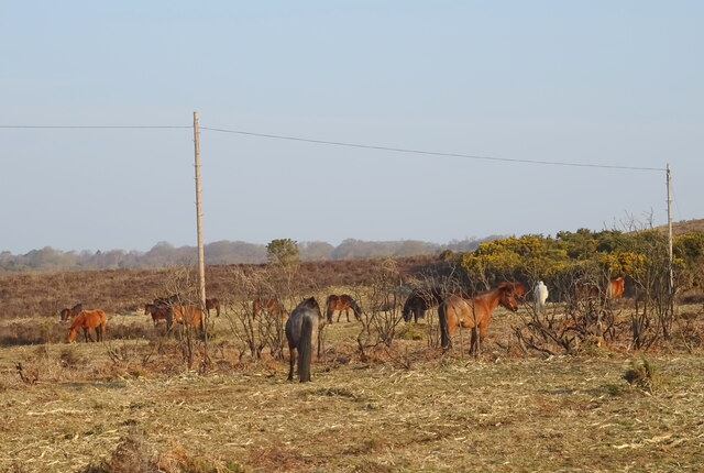
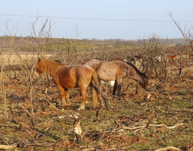
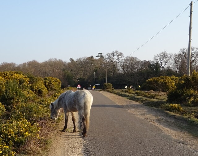
The woodland is home to a wide variety of wildlife, including deer, foxes, and a range of bird species. Nature enthusiasts will delight in the chance to spot rare and elusive creatures such as the red squirrel or even the occasional badger. Birdwatchers are likely to come across species like the great spotted woodpecker or the tawny owl, as they make their way through the dense foliage.
Shoot Wood is well-equipped with picnic areas and benches, offering visitors the perfect opportunity to relax and enjoy the tranquil surroundings. Additionally, there are designated camping spots for those looking to spend a night under the starry sky and immerse themselves in the peaceful ambiance of the forest.
Overall, Shoot Wood, Hampshire is a picturesque and enchanting destination for nature lovers, offering a haven of tranquility and a chance to connect with the natural world.
If you have any feedback on the listing, please let us know in the comments section below.
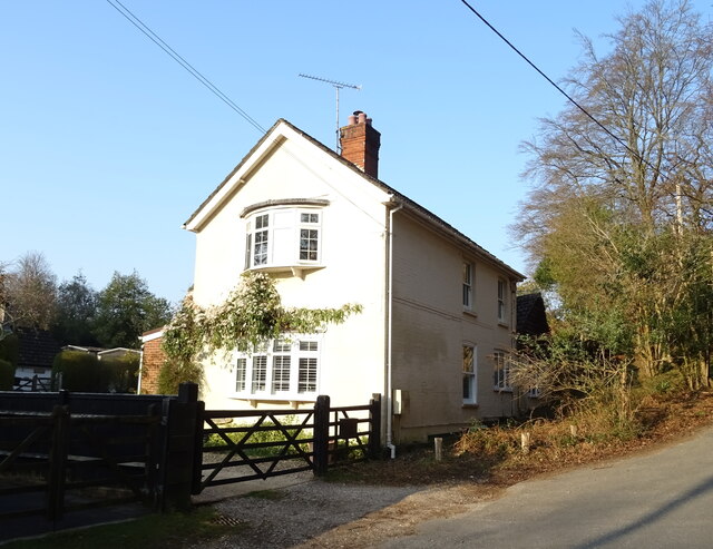
Shoot Wood Images
Images are sourced within 2km of 50.826872/-1.6696883 or Grid Reference SU2303. Thanks to Geograph Open Source API. All images are credited.
Shoot Wood is located at Grid Ref: SU2303 (Lat: 50.826872, Lng: -1.6696883)
Administrative County: Hampshire
District: New Forest
Police Authority: Hampshire
What 3 Words
///danger.removers.bathtubs. Near Burley, Hampshire
Nearby Locations
Related Wikis

Burley, Hampshire
Burley is a village and civil parish in the New Forest, Hampshire, England. It has ancient origins and is now somewhat tourist-orientated. == The village... ==

Holmsley railway station
Holmsley is a closed railway station in the county of Hampshire which served rural settlements in the New Forest. == History == The station was opened...

Castle Hill, Hampshire
Castle Hill is the site of an Iron Age univallate hillfort located in the civil parish of Burley in the New Forest national park in Hampshire, England...

New Forest West (UK Parliament constituency)
New Forest West is a constituency represented in the House of Commons of the UK Parliament since 1997 by Desmond Swayne, a Conservative. == Constituency... ==

Bolderwood, Hampshire
Bolderwood is an area of the New Forest in Hampshire. Bolderwood hosts a deer sanctuary with a public deer observation platform. As a result, the public...

Warwickslade Cutting Railway
The Warwickslade Cutting Railway was a light railway temporarily built to fill in the Warwickslade Cutting, a straight drainage ditch dug circa 1850 in...

Knightwood Oak
The Knightwood Oak is a pedunculate oak and the largest, and perhaps most famous, oak tree in the New Forest, in southern England. It is also known as...

RAF Holmsley South
Royal Air Force Holmsley South or more simply RAF Holmsley South is a former Royal Air Force station in Hampshire, England. The airfield is located approximately...
Nearby Amenities
Located within 500m of 50.826872,-1.6696883Have you been to Shoot Wood?
Leave your review of Shoot Wood below (or comments, questions and feedback).