Haddon Hall
Heritage Site in Derbyshire Derbyshire Dales
England
Haddon Hall
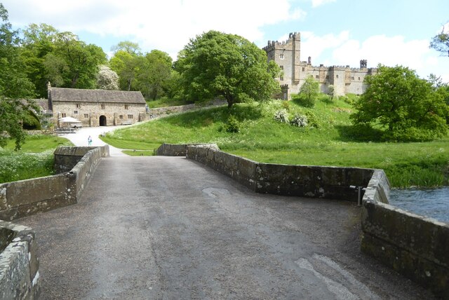
Haddon Hall, located in Derbyshire, England, is a historic and well-preserved fortified medieval manor house. This remarkable heritage site is nestled on a hillside overlooking the River Wye, surrounded by picturesque countryside. The hall's origins can be traced back to the 12th century, and it has been owned by the Manners family since 1567.
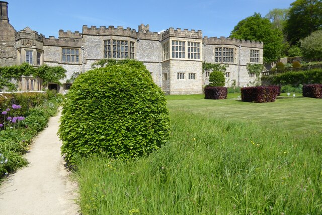
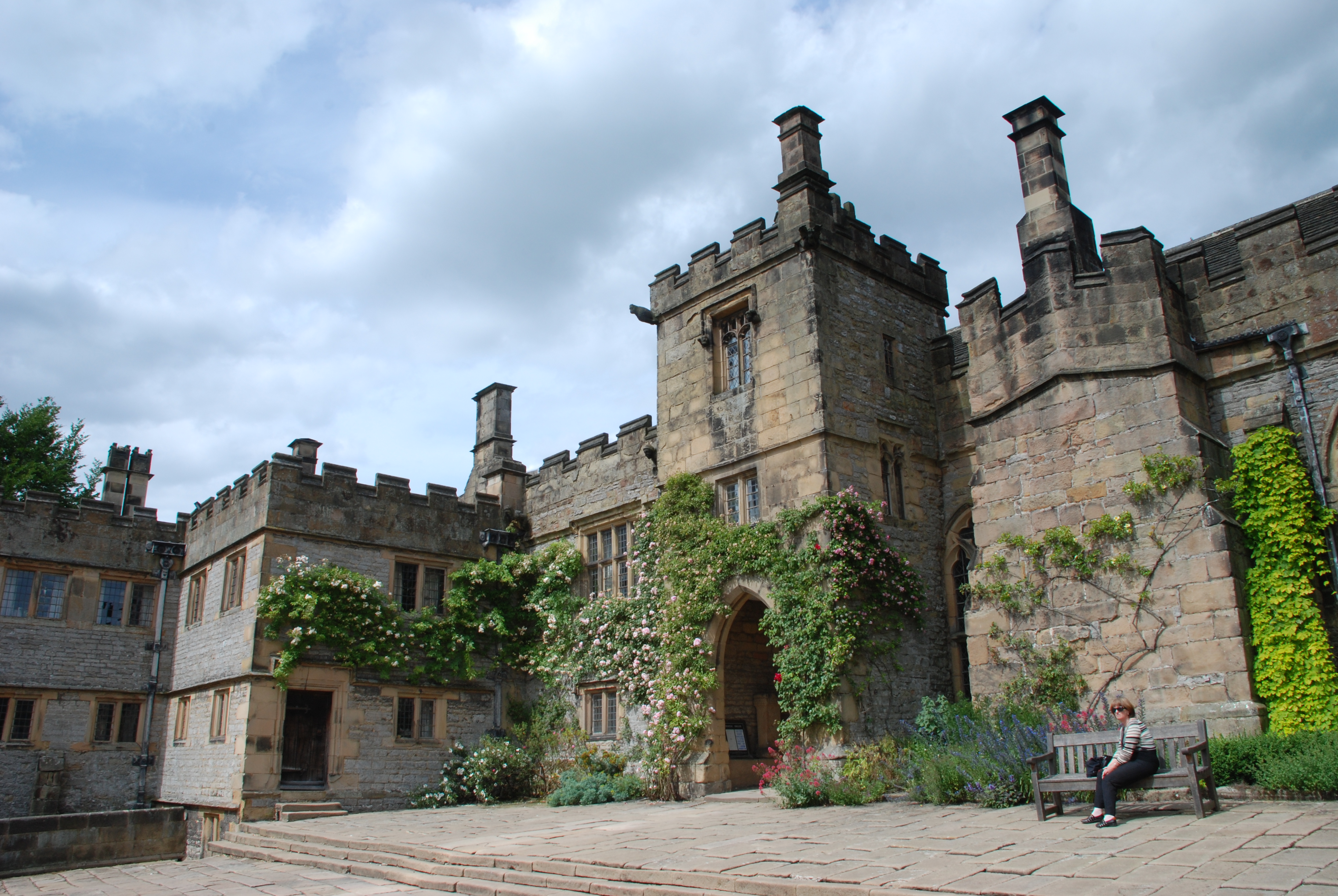
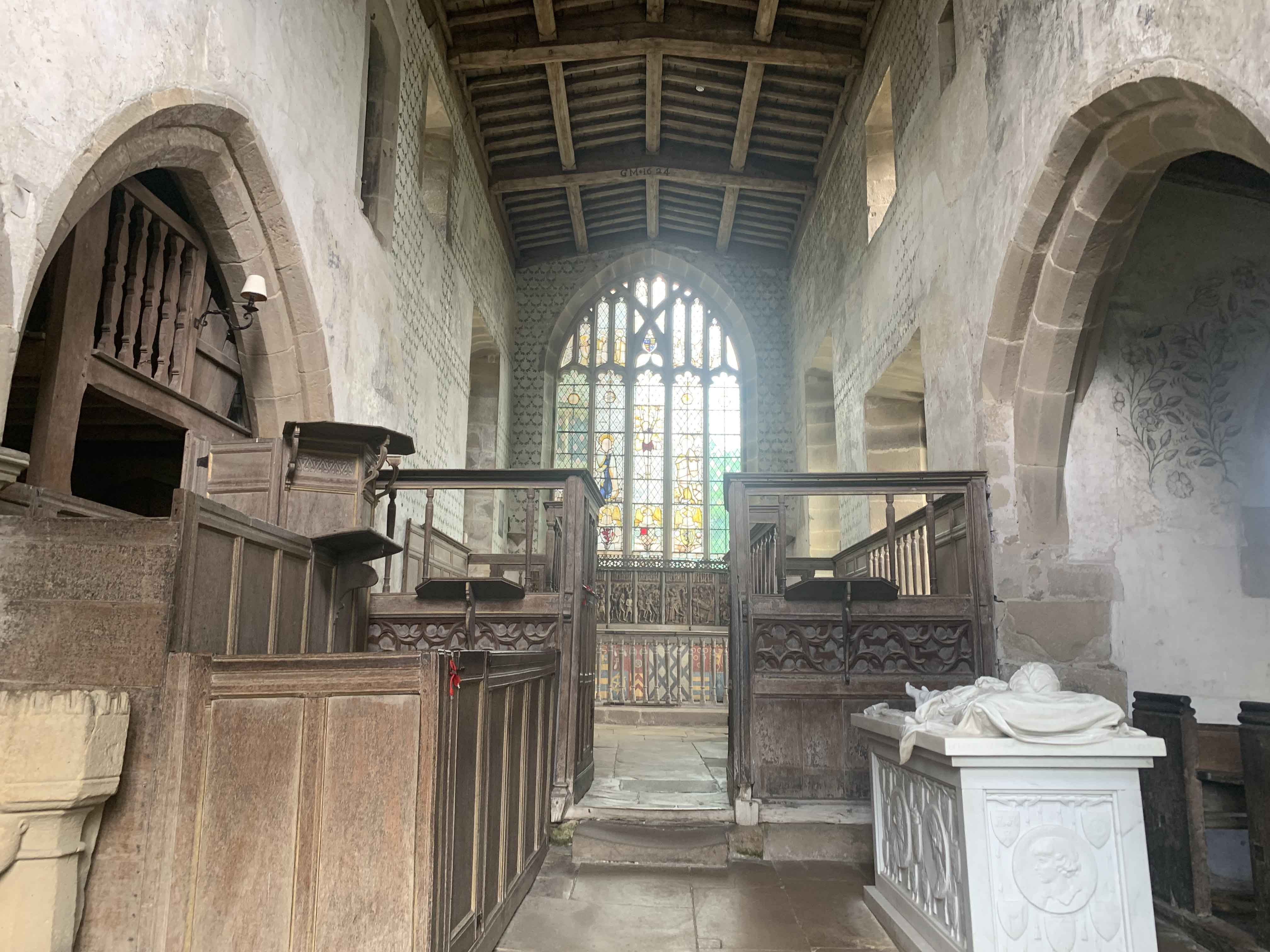
Visiting Haddon Hall is like stepping into the past. The architecture reflects various periods, with the oldest parts dating back to the 12th century. The hall features an impressive Great Hall with a magnificent fireplace and a stunning Long Gallery, adorned with tapestries and antique furniture. The chapel, located within the hall, showcases beautiful medieval stained glass windows and ornate woodwork.
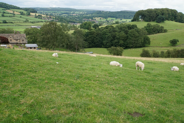
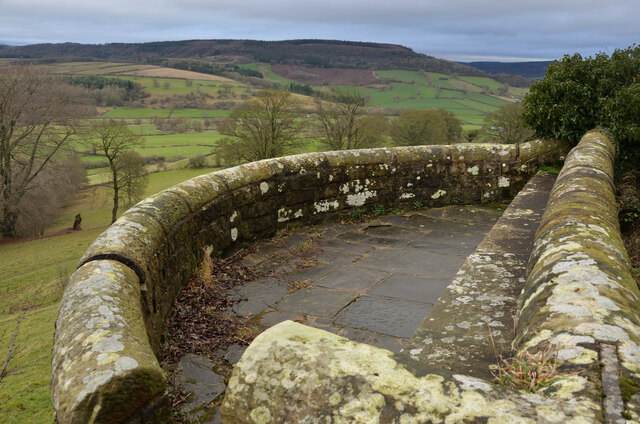
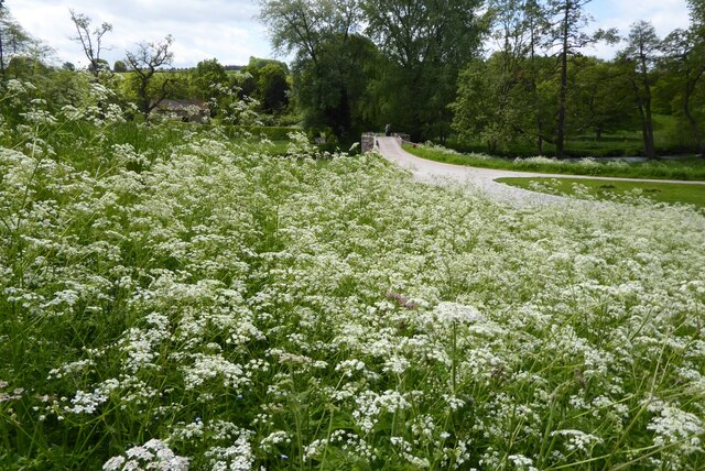
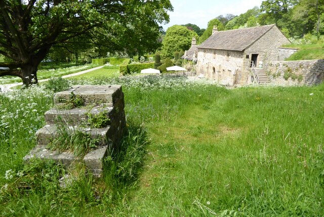
The gardens at Haddon Hall are equally enchanting, with terraced areas, knot gardens, and a charming kitchen garden. The outdoor spaces provide breathtaking views of the surrounding countryside and are perfect for leisurely strolls or picnics.
Haddon Hall has also been featured in various movies and television series, including adaptations of Jane Eyre and Pride and Prejudice. Its well-preserved state and historical significance have made it a popular filming location.
Today, Haddon Hall is open to the public, offering guided tours that provide a glimpse into its rich history and architectural beauty. The site also hosts various events and activities throughout the year, including music concerts, craft fairs, and seasonal celebrations.
Overall, Haddon Hall is a truly remarkable heritage site, offering visitors a chance to step back in time and experience the grandeur of medieval England.
If you have any feedback on the listing, please let us know in the comments section below.
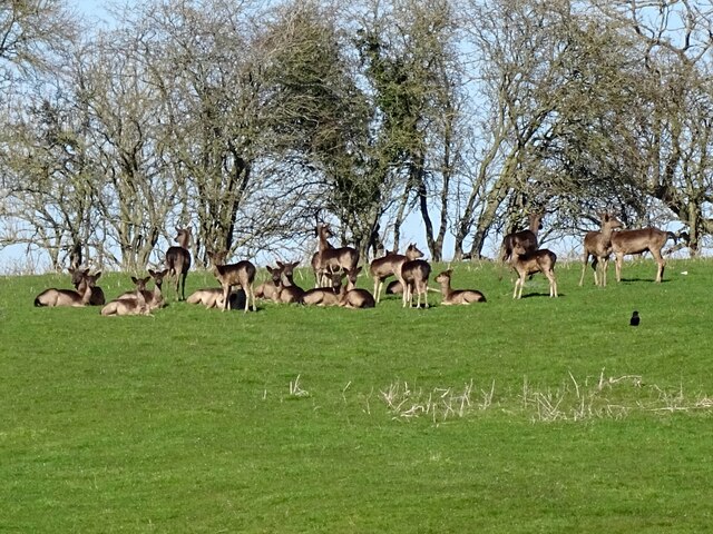
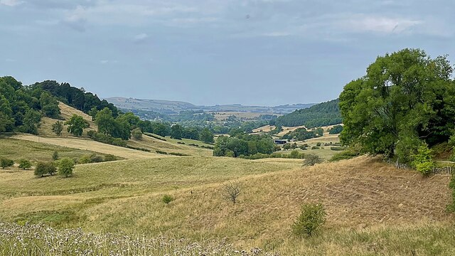
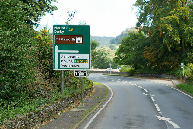
Haddon Hall Images
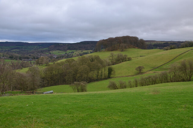
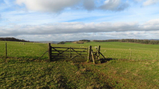
Images are sourced within 2km of 53.195/-1.648 or Grid Reference SK2366. Thanks to Geograph Open Source API. All images are credited.
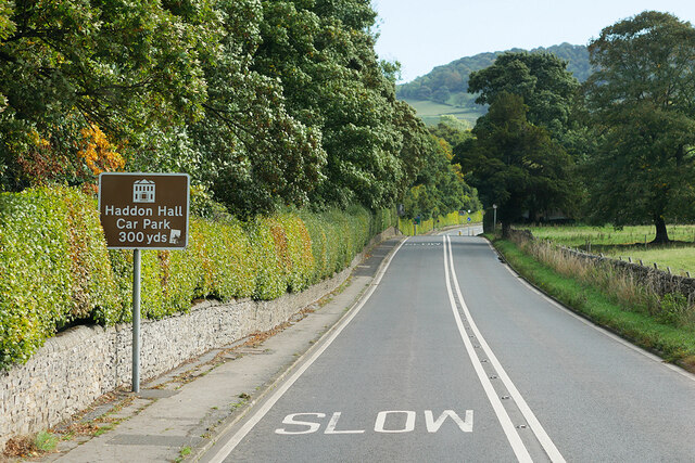


Haddon Hall is located at Grid Ref: SK2366 (Lat: 53.195, Lng: -1.648)
Administrative County: Derbyshire
District: Derbyshire Dales
Police Authority: Derbyshire
What 3 Words
///dignity.isolating.rebounded. Near Bakewell, Derbyshire
Related Wikis
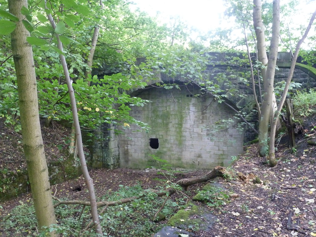
Haddon Tunnel
Haddon Tunnel was built by the Midland Railway in 1863 when extending the Manchester, Buxton, Matlock and Midlands Junction Railway from Rowsley to Buxton...
Haddon Hall
Haddon Hall is an English country house on the River Wye near Bakewell, Derbyshire, a former seat of the Dukes of Rutland. It is the home of Lord Edward...
Chapel of St Nicholas, Haddon Hall
The Chapel St John Nicholas, Haddon Hall is a Grade I listed Church of England chapel in Haddon Hall, Derbyshire. The chapel's origins are Norman, with...
Nether Haddon
Nether Haddon is a sparsely populated village and civil parish in Derbyshire, England. It is immediately downstream along the River Wye from the small...
Nearby Amenities
Located within 500m of 53.195,-1.648Have you been to Haddon Hall?
Leave your review of Haddon Hall below (or comments, questions and feedback).