West Wood
Wood, Forest in Yorkshire Harrogate
England
West Wood

West Wood is a picturesque forest located in Yorkshire, England. Covering an area of approximately 500 acres, it is nestled within the stunning countryside and offers a tranquil retreat for nature enthusiasts and outdoor adventurers alike.
The wood is characterized by its diverse range of tree species, including oak, birch, beech, and pine, which create a dense canopy that provides shade and shelter for a variety of wildlife. The forest floor is adorned with a carpet of vibrant wildflowers during the spring and summer months, adding to the area's natural beauty.
Visitors to West Wood can explore numerous well-marked trails that wind through the forest, allowing them to discover its hidden treasures. The trails cater to different fitness levels, ranging from easy strolls to more challenging hikes, ensuring that there is something for everyone to enjoy. Along the way, walkers may encounter a variety of wildlife, such as deer, foxes, rabbits, and a wide array of bird species.
The wood also boasts a small lake, providing a peaceful setting for picnics or simply taking a moment to relax and soak in the surroundings. Anglers can indulge in fishing, as the lake is stocked with various freshwater fish species.
West Wood is a popular destination for outdoor activities, including camping and nature photography. With its serene atmosphere and stunning natural scenery, it is an ideal place to escape the hustle and bustle of everyday life and reconnect with nature.
If you have any feedback on the listing, please let us know in the comments section below.
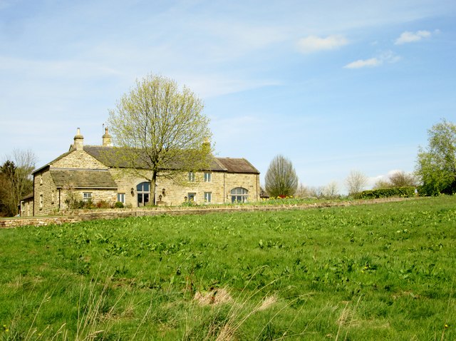
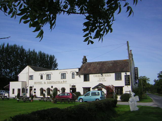
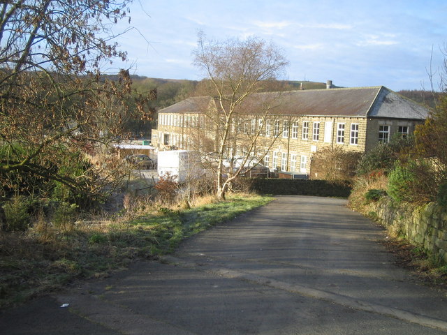
West Wood Images
Images are sourced within 2km of 54.073643/-1.6496813 or Grid Reference SE2364. Thanks to Geograph Open Source API. All images are credited.


West Wood is located at Grid Ref: SE2364 (Lat: 54.073643, Lng: -1.6496813)
Division: West Riding
Administrative County: North Yorkshire
District: Harrogate
Police Authority: North Yorkshire
What 3 Words
///slouched.passports.remaining. Near Pateley Bridge, North Yorkshire
Nearby Locations
Related Wikis

Warsill
Warsill is a settlement and civil parish in the Harrogate district, in the county of North Yorkshire, England. It consists of a few scattered farms 5 miles...

Hartwith cum Winsley
Hartwith cum Winsley is a civil parish in Harrogate district, North Yorkshire, England. Historically it was a township in the ancient parish of Kirkby...

Brimham Rocks
Brimham Rocks, once known as Brimham Crags, is a 183.9-hectare (454-acre) biological Site of Special Scientific Interest (SSSI) and Geological Conservation...
Bishop Thornton
Bishop Thornton is a village in the civil parish of Bishop Thornton, Shaw Mills and Warsill, in the Harrogate district of North Yorkshire, England. According...

Shaw Mills
Shaw Mills is a hamlet in the civil parish of Bishop Thornton, Shaw Mills and Warsill, in Nidderdale in the Harrogate district, North Yorkshire, England...
New York, North Yorkshire
New York is a settlement in Nidderdale in the Harrogate district of North Yorkshire, England. It is on the River Nidd, near Summerbridge, and about 2...

Burnt Yates
Burnt Yates is a village in the Borough of Harrogate in North Yorkshire, England. == Community == The village name possibly derived from 'Burnt Gates'...

Summerbridge, North Yorkshire
Summerbridge is a village in Nidderdale in Harrogate district, North Yorkshire, England. It is on the River Nidd, adjacent to Dacre Banks on the opposite...
Nearby Amenities
Located within 500m of 54.073643,-1.6496813Have you been to West Wood?
Leave your review of West Wood below (or comments, questions and feedback).