Jordan Wood
Wood, Forest in Yorkshire
England
Jordan Wood

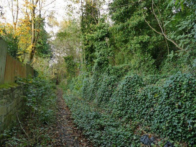
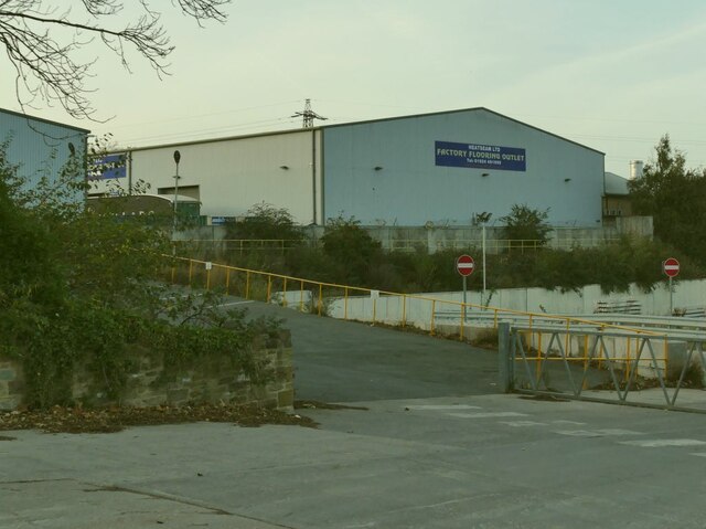
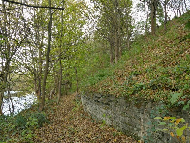
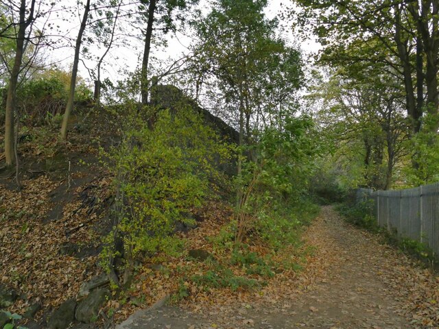
Jordan Wood is a scenic woodland area located in the region of Yorkshire, England. Situated amidst the captivating landscape of the Yorkshire Dales, this forested area offers a tranquil retreat for nature enthusiasts and outdoor adventurers alike. Covering a vast expanse of land, Jordan Wood is renowned for its rich biodiversity and enchanting beauty.
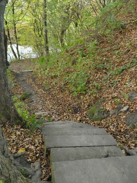
The woodland is home to a diverse range of flora and fauna, with towering trees such as oak, beech, and birch dominating the landscape. The forest floor is adorned with a tapestry of vibrant wildflowers, creating a picturesque setting. Visitors can immerse themselves in the peaceful ambiance while exploring the network of well-maintained walking trails that meander through the woods.
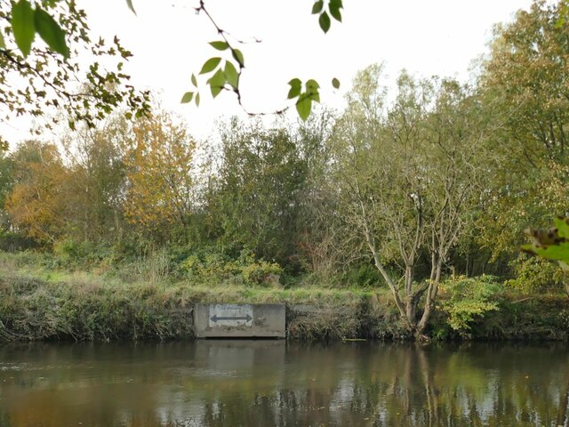
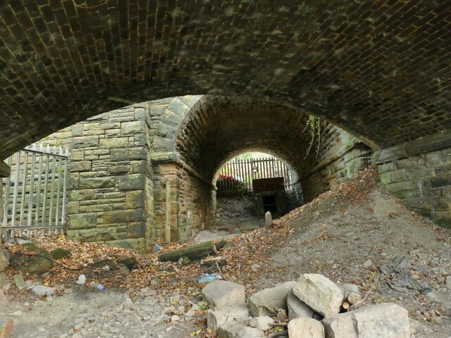
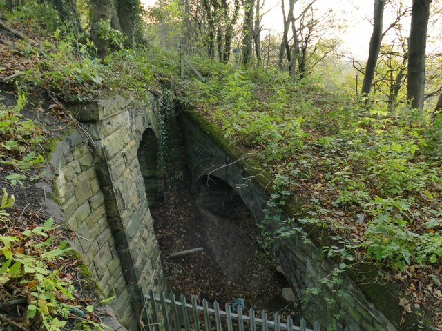
One of the notable features of Jordan Wood is the presence of a meandering river that gracefully winds its way through the trees. This water source not only contributes to the scenic charm but also supports a variety of aquatic life such as fish and frogs.
For bird watchers, Jordan Wood is a haven, as it attracts a plethora of avian species. Birdsong fills the air, with species like woodpeckers, owls, and warblers making their presence known. The forest also provides a natural habitat for mammals like squirrels, deer, and foxes, further enhancing the wildlife experience.
Aside from its natural beauty, Jordan Wood offers a range of recreational activities. Visitors can enjoy picnicking in designated areas, embark on wildlife-spotting adventures, or simply relish the serenity of the surroundings. Educational programs and guided tours are also available to enhance visitors' understanding of the forest ecosystem.
In conclusion, Jordan Wood in Yorkshire is a captivating woodland destination that showcases the beauty of nature in all its glory. Its diverse range of flora and fauna, picturesque walking trails, and serene atmosphere make it an ideal retreat for those seeking solace in the great outdoors.
If you have any feedback on the listing, please let us know in the comments section below.
Jordan Wood Images
Images are sourced within 2km of 53.665581/-1.6644075 or Grid Reference SE2218. Thanks to Geograph Open Source API. All images are credited.


Jordan Wood is located at Grid Ref: SE2218 (Lat: 53.665581, Lng: -1.6644075)
Division: West Riding
Unitary Authority: Kirklees
Police Authority: West Yorkshire
What 3 Words
///trickle.workloads.awkward. Near Mirfield, West Yorkshire
Nearby Locations
Related Wikis
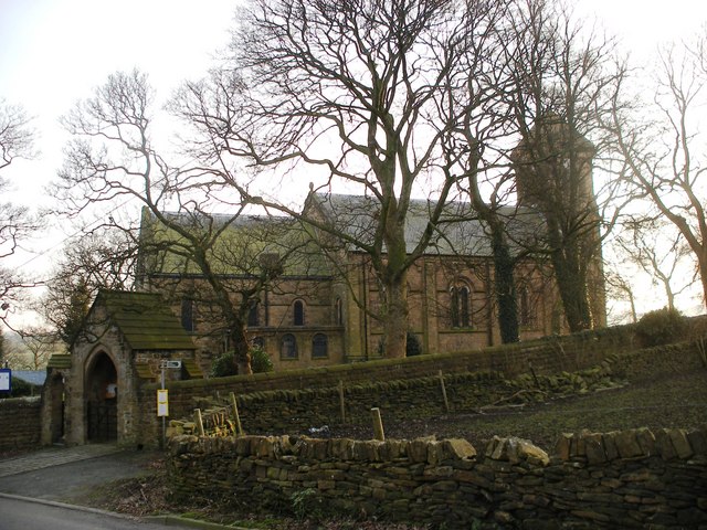
Whitley Lower
Whitley Lower is a village near Thornhill in Kirklees, West Yorkshire England. The parish church, dedicated to St Mary and St Michael, is part of the...

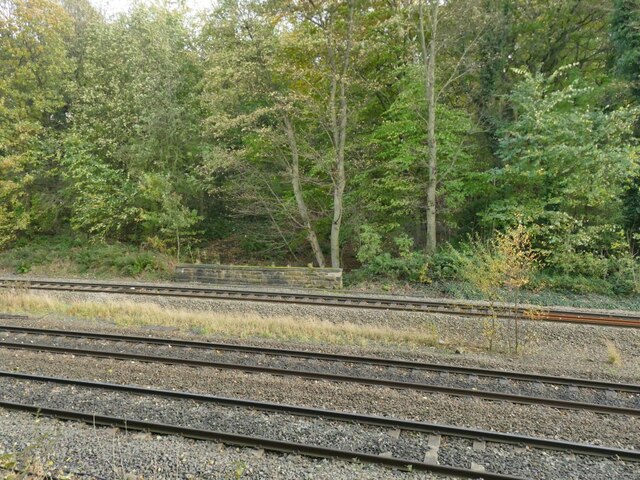
Ravensthorpe railway station
Ravensthorpe railway station serves the Ravensthorpe suburb of Dewsbury in West Yorkshire, England. It is situated on the Huddersfield line between Leeds...

Thornhill power station
The Thornhill power station generated and supplied electricity to the town of Dewsbury and the wider regional area from 1902 to 1982, and again from 1998...

Dewsbury Bus Museum
The Dewsbury Bus Museum is a museum in Ravensthorpe, West Yorkshire, England. Opened to the public in September 1989, it is owned and operated by the West...
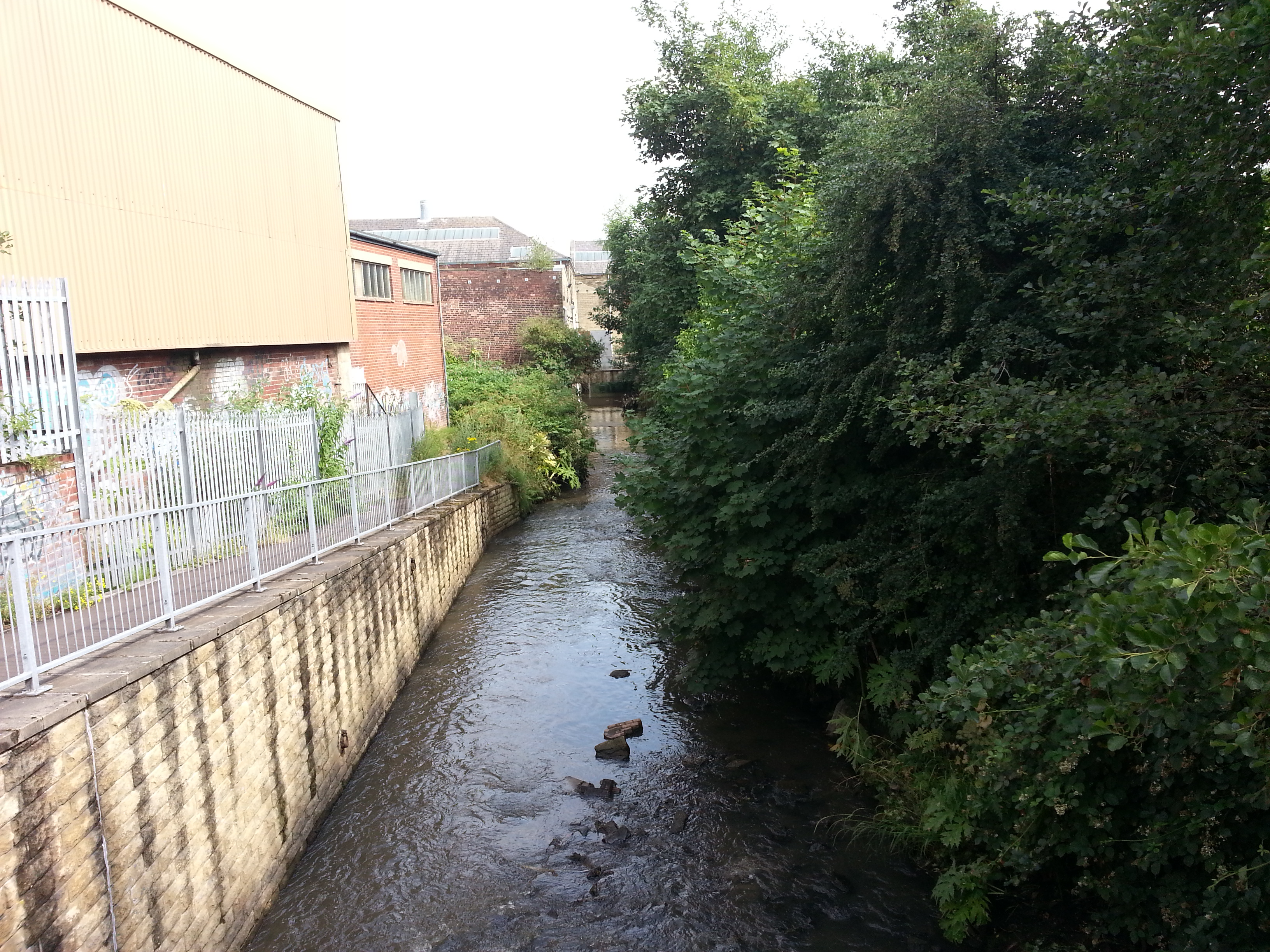
River Spen
The River Spen or Spen Beck, in West Yorkshire, England is a tributary of the River Calder. It rises north of Cleckheaton, runs through Liversedge and...
Mirfield Show
Mirfield Show is an annual agricultural show held at the Huddersfield Road Showground in Mirfield, West Yorkshire, England on the third Sunday in August...

St Mary's Church, Mirfield
St Mary's Church is the parish church of the town of Mirfield in West Yorkshire, England. The current building is a large Gothic Revival structure designed...

Mirfield railway station
Mirfield railway station serves the town of Mirfield in West Yorkshire, England. It lies on the Huddersfield Line and is managed by both Northern and Grand...
Nearby Amenities
Located within 500m of 53.665581,-1.6644075Have you been to Jordan Wood?
Leave your review of Jordan Wood below (or comments, questions and feedback).