Haley Hill

Hill, Mountain in Yorkshire

England

Haley Hill

Footpath past Lees Hall Lees Hall <a href="https://www.geograph.org.uk/photo/362092">SE2319 : Lees Hall, Thornhill Lees, Dewsbury</a> is out of sight to the left; to the right is a steep embankment on top of which is a playing field, but this must be artificial as old maps show a marsh here.
Footpath past Lees Hall Credit: Stephen Craven

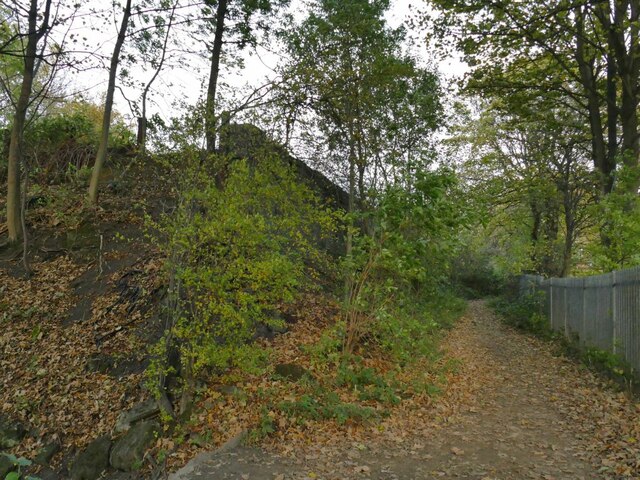
Haley Hill is a prominent hill located in Yorkshire, England. It is part of the Pennine range, which stretches across northern England. Rising to an elevation of approximately 328 feet (100 meters), Haley Hill offers stunning panoramic views of the surrounding countryside.

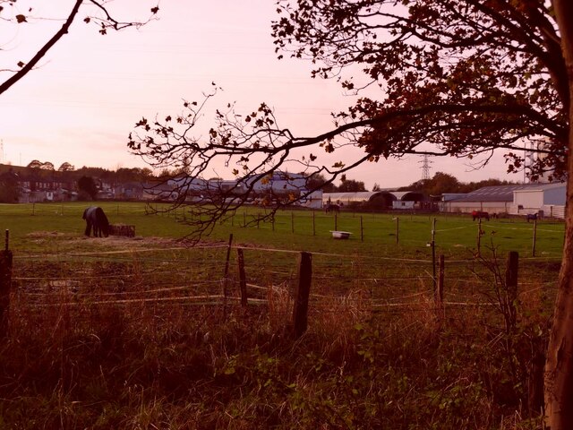
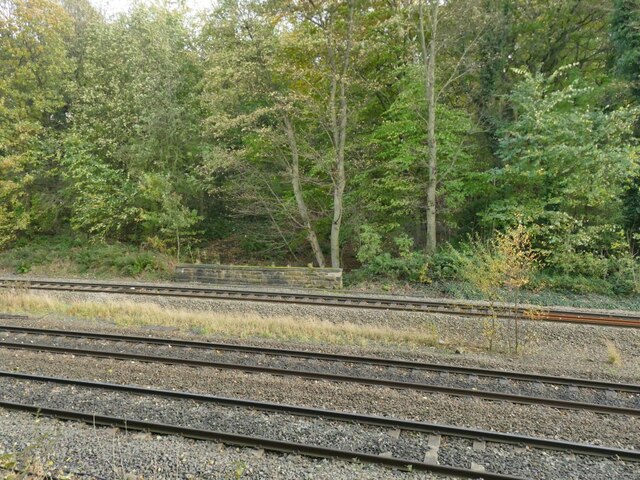
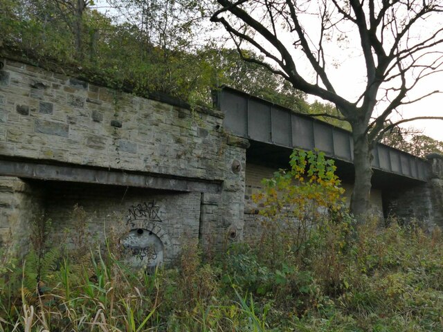
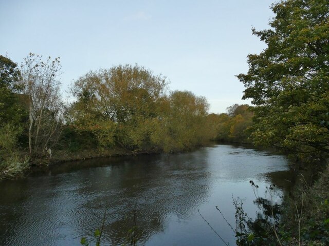
Situated in the town of Halifax, Haley Hill is known for its picturesque landscape and historical significance. The hill has been inhabited since ancient times, with evidence of human settlement dating back to the Bronze Age. Today, it serves as a popular destination for outdoor enthusiasts, hikers, and nature lovers.

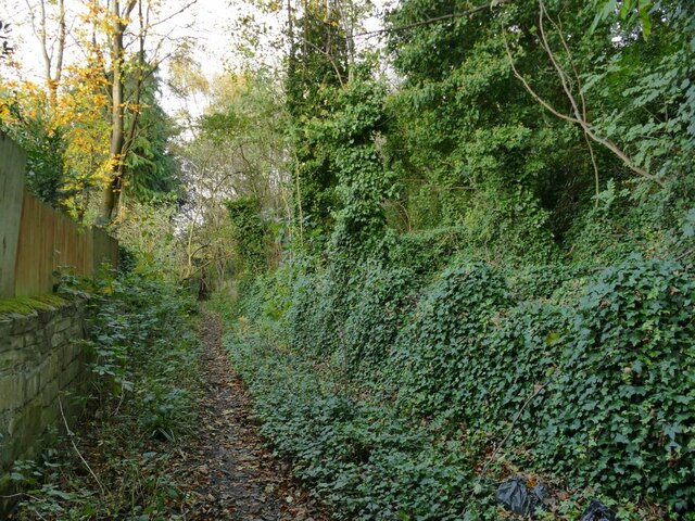
The hill is characterized by its gentle slopes and lush greenery, adorned with a variety of flora and fauna. Wildflowers, including bluebells and buttercups, dot the landscape during the spring and summer months, creating a vibrant and colorful scene. Additionally, the hill is home to several species of birds and small mammals, providing ample opportunities for wildlife observation.

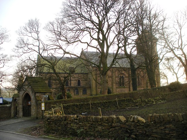
At the summit of Haley Hill, visitors can find St. Jude's Church, a Grade II listed building that adds to the hill's historical charm. The church, built in the Gothic Revival style, offers a peaceful spot for reflection and enjoys panoramic views of the surrounding countryside.

Overall, Haley Hill in Yorkshire is a beautiful natural landmark that combines stunning scenery with a rich historical heritage, making it a must-visit destination for those seeking tranquility, outdoor adventure, and a glimpse into the region's past.

If you have any feedback on the listing, please let us know in the comments section below.
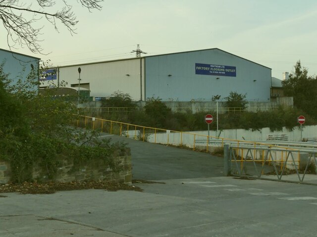
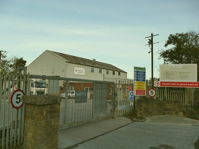
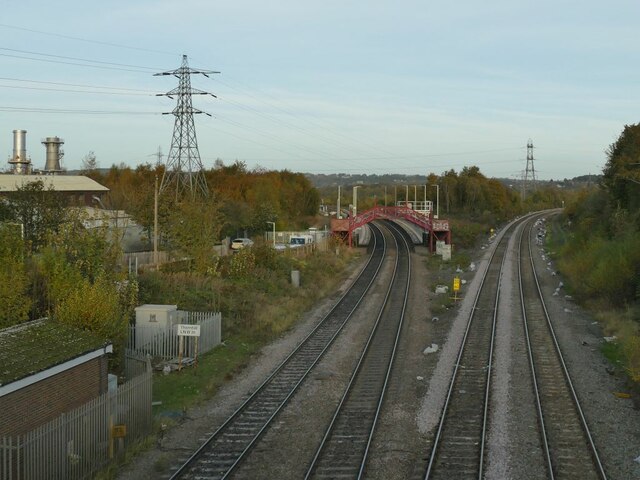
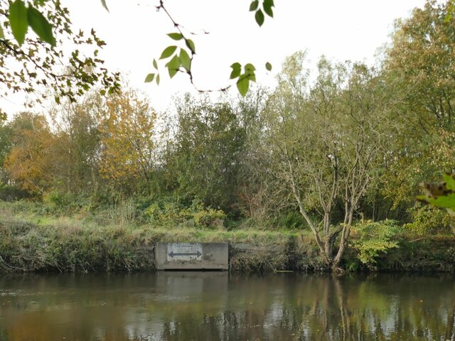
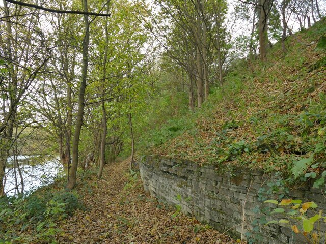
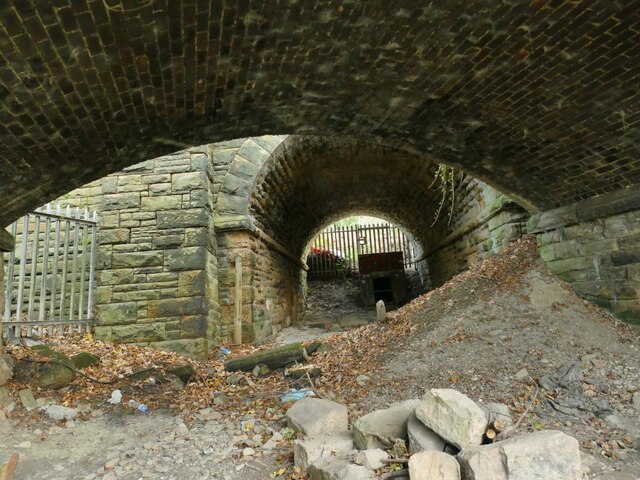
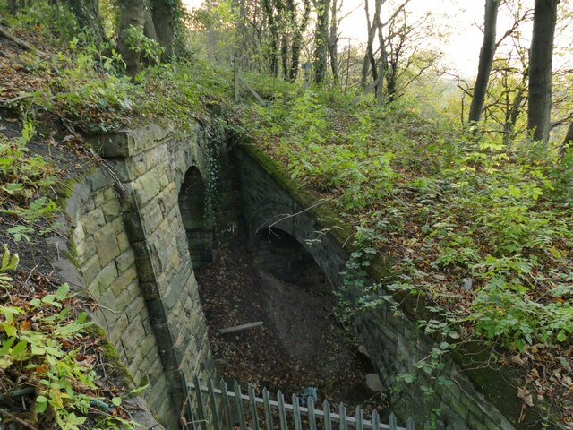
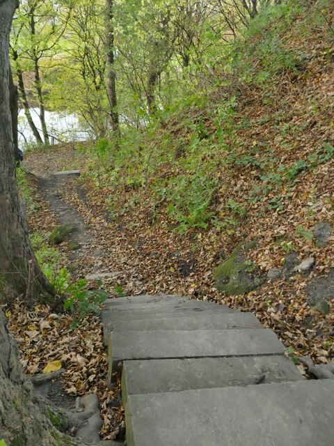
Haley Hill Images

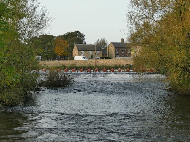
Images are sourced within 2km of 53.661742/-1.6609422 or Grid Reference SE2218. Thanks to Geograph Open Source API. All images are credited.

Footpath past Lees Hall Lees Hall <a href="https://www.geograph.org.uk/photo/362092">SE2319 : Lees Hall, Thornhill Lees, Dewsbury</a> is out of sight to the left; to the right is a steep embankment on top of which is a playing field, but this must be artificial as old maps show a marsh here.
Footpath past Lees Hall
Lees Hall SE2319 : Lees Hall, Thornhill Lees, Dewsbury is out of sight to the left; to the right is a steep embankment on top of which is a playing field, but this must be artificial as old maps show a marsh here.
Horses in a field by Lees Hall
Terrace Houses, Lees Hall Road
Longley Concrete Group, Ravensthorpe Road Looking at the stock yard behind the buildings, this works manufactures precast concrete products rather than making premix concrete for construction sites.
Longley Concrete Group, Ravensthorpe Road
Looking at the stock yard behind the buildings, this works manufactures precast concrete products rather than making premix concrete for construction sites.
Factory Flooring Outlet, Ravensthorpe Road A warehouse selling tiles and floor coverings 'to the trade'.
Factory Flooring Outlet, Ravensthorpe Road
A warehouse selling tiles and floor coverings 'to the trade'.
Veolia depot, Ravensthorpe Road A plant depot for the waste collection firm.
Veolia depot, Ravensthorpe Road
A plant depot for the waste collection firm.
Thornhill LNW Junction In the 19th and early 20th centuries this is named on maps as Dewsbury Junction.  In those days the Calder Valley main line was four tracks bearing right here towards Wakefield and Normanton, a very busy freight route, and the two tracks to the left to Dewsbury and Leeds were less important.  Now the Leeds route is a main passenger artery, soon to be expanded to four tracks (with Ravensthorpe station seen here being relocated) while the Wakefield route sees far less traffic. Little has changed since my last view of the junction nearly five years earlier <a href="https://www.geograph.org.uk/photo/5260642">SE2219 : Ravensthorpe station from the road bridge</a> except the addition of some control equipment (left foreground).
Thornhill LNW Junction
In the 19th and early 20th centuries this is named on maps as Dewsbury Junction. In those days the Calder Valley main line was four tracks bearing right here towards Wakefield and Normanton, a very busy freight route, and the two tracks to the left to Dewsbury and Leeds were less important. Now the Leeds route is a main passenger artery, soon to be expanded to four tracks (with Ravensthorpe station seen here being relocated) while the Wakefield route sees far less traffic. Little has changed since my last view of the junction nearly five years earlier SE2219 : Ravensthorpe station from the road bridge except the addition of some control equipment (left foreground).
No Mooring sign by Greenwood Lock The reason for the ban on mooring at this point is that there is a major storm sewer outfall just below this concrete headwall. See <a href="https://www.geograph.org.uk/photo/5624446">SE2219 : River Calder downstream of Greenwood Lock </a>.
No Mooring sign by Greenwood Lock
The reason for the ban on mooring at this point is that there is a major storm sewer outfall just below this concrete headwall. See SE2219 : River Calder downstream of Greenwood Lock .
Riverbank path opposite Greenwood Lock A public footpath on the south bank of the Calder.
Riverbank path opposite Greenwood Lock
A public footpath on the south bank of the Calder.
Double bridge near Lady Wood Bottom (1) The nearer bridge carried a vehicle track down to Greenwood Bridge on the river Calder (no longer extant). The further one carries the main Calder Valley railway line. There were old mineshafts in Lady Wood beyond the railway and I presume these bridges allowed coal to be brought down to the river for loading onto barges.  See <a href="https://www.geograph.org.uk/photo/4303022">SE2219 : Fenced off arch , Ravensthorpe</a> for the arch of this first bridge.
Double bridge near Lady Wood Bottom (1)
The nearer bridge carried a vehicle track down to Greenwood Bridge on the river Calder (no longer extant). The further one carries the main Calder Valley railway line. There were old mineshafts in Lady Wood beyond the railway and I presume these bridges allowed coal to be brought down to the river for loading onto barges. See SE2219 : Fenced off arch , Ravensthorpe for the arch of this first bridge.
Double bridge near Lady Wood Bottom (2) The right hand bridge carried a vehicle track, now totally overgrown, down to Greenwood Bridge on the river Calder (no longer extant). The left hand one carries the main Calder Valley railway line. There were old mineshafts in Lady Wood beyond the railway and I presume these bridges allowed coal to be brought down to the river for loading onto barges.  See <a href="https://www.geograph.org.uk/photo/4303022">SE2219 : Fenced off arch , Ravensthorpe</a> for the arch of the right hand bridge and <a href="https://www.geograph.org.uk/photo/7014310">SE2219 : Double bridge near Lady Wood Bottom (1)</a> for a view through them.
Double bridge near Lady Wood Bottom (2)
The right hand bridge carried a vehicle track, now totally overgrown, down to Greenwood Bridge on the river Calder (no longer extant). The left hand one carries the main Calder Valley railway line. There were old mineshafts in Lady Wood beyond the railway and I presume these bridges allowed coal to be brought down to the river for loading onto barges. See SE2219 : Fenced off arch , Ravensthorpe for the arch of the right hand bridge and SE2219 : Double bridge near Lady Wood Bottom (1) for a view through them.
Steps down to the river near Lady Wood Bottom The steps connect a bridleway running along the top of the railway embankment with the public footpath along the river bank.
Steps down to the river near Lady Wood Bottom
The steps connect a bridleway running along the top of the railway embankment with the public footpath along the river bank.
Bridleway alongside the railway The bridleway crosses the railway a little further on by means of a bridge.
Bridleway alongside the railway
The bridleway crosses the railway a little further on by means of a bridge.
Calder Valley railway tracks at Lady Wood Bottom There are currently three tracks here: there used to be four <a href="https://www.geograph.org.uk/photo/939052">SE2219 : The Calder Valley main line (1)</a> and plans to upgrade the Manchester-Leeds corridor will see a fourth track reinstated.
Calder Valley railway tracks at Lady Wood Bottom
There are currently three tracks here: there used to be four SE2219 : The Calder Valley main line (1) and plans to upgrade the Manchester-Leeds corridor will see a fourth track reinstated.
Retaining wall at Lady Wood Bottom The wall retains the railway embankment; the 1907 map shows three (presumably narrow gauge) railway tracks between the wall and the river bank, related to a nearby mine.
Retaining wall at Lady Wood Bottom
The wall retains the railway embankment; the 1907 map shows three (presumably narrow gauge) railway tracks between the wall and the river bank, related to a nearby mine.
Former mine entrance? Local contributor Humphrey Bolton describes the small arch within a wall to the left of the photo as a drainage adit <a href="https://www.geograph.org.uk/photo/1038394">SE2219 : Railway drainage heading, Hopton, Mirfield</a> and further to the right behind the tree is another one that may have been the actual mine entrance <a href="https://www.geograph.org.uk/photo/1038378">SE2219 : Partial bridge, Hopton, Mirfield</a> shown on the 1907 1:2500 map at SE22111961 with a single narrow gauge mineral line splitting into three tracks to a riverside wharf.
Former mine entrance?
Local contributor Humphrey Bolton describes the small arch within a wall to the left of the photo as a drainage adit SE2219 : Railway drainage heading, Hopton, Mirfield and further to the right behind the tree is another one that may have been the actual mine entrance SE2219 : Partial bridge, Hopton, Mirfield shown on the 1907 1:2500 map at SE22111961 with a single narrow gauge mineral line splitting into three tracks to a riverside wharf.
River Calder below Greenwood Weir The river is non-navigable at this point, being bypassed by Greenwood Cut.
River Calder below Greenwood Weir
The river is non-navigable at this point, being bypassed by Greenwood Cut.
Greenwood Weir from downstream The river is non-navigable at this point, being bypassed by Greenwood Cut. See <a href="https://www.geograph.org.uk/photo/6408992">SE2119 : River Calder Barrage, Mirfield</a> for a view of the full length of the weir from above.
Greenwood Weir from downstream
The river is non-navigable at this point, being bypassed by Greenwood Cut. See SE2119 : River Calder Barrage, Mirfield for a view of the full length of the weir from above.
Show me another place!

Haley Hill is located at Grid Ref: SE2218 (Lat: 53.661742, Lng: -1.6609422)

Division: West Riding

Unitary Authority: Kirklees

Police Authority: West Yorkshire

What 3 Words

///fearfully.stilted.glides. Near Mirfield, West Yorkshire

Related Wikis

Whitley Lower

Whitley Lower is a village near Thornhill in Kirklees, West Yorkshire England. The parish church, dedicated to St Mary and St Michael, is part of the...

Ravensthorpe railway station

Ravensthorpe railway station serves the Ravensthorpe suburb of Dewsbury in West Yorkshire, England. It is situated on the Huddersfield line between Leeds...

Thornhill power station

The Thornhill power station generated and supplied electricity to the town of Dewsbury and the wider regional area from 1902 to 1982, and again from 1998...

Dewsbury Bus Museum

The Dewsbury Bus Museum is a museum in Ravensthorpe, West Yorkshire, England. Opened to the public in September 1989, it is owned and operated by the West...

Nearby Amenities

Located within 500m of 53.661742,-1.6609422
Bus Stop
Whitley Road Quebec Farm
Bus: yes
Local Ref: 45015219
Naptan AtcoCode: 450015219
Naptan Bearing: E
Naptan CommonName: Whitley Road Quebec Farm
Naptan Crossing: Quebec Farm
Naptan Indicator: Stop 45015219
Naptan Landmark: Quebec Farm
Naptan Notes: OSR taken place 181105
Naptan PlusbusZoneRef: LEEDS
Naptan ShortCommonName: Tanhouse Farm
Naptan Street: Whitley Road
Naptan Verified: no
Public Transport: platform
Shelter: no
Source: naptan_import
Timetable: yes
Lat/Long: 53.6583955/-1.6605129
Bus Stop
Whitley Road Tanhouse Farm
Bus: yes
Local Ref: 45050262
Naptan AtcoCode: 450050262
Naptan Bearing: W
Naptan BusStopType: CUS
Naptan CommonName: Whitley Road Tanhouse Farm
Naptan Indicator: Stop 45050262
Naptan PlusbusZoneRef: LEEDS
Naptan ShortCommonName: Tanhouse Farm
Naptan Street: Whitley Road
Naptan Verified: no
Public Transport: platform
Source: naptan_import
Lat/Long: 53.6583235/-1.6604833
Power: pole
Lat/Long: 53.657722/-1.6609843
Power: tower
Lat/Long: 53.6587327/-1.6630708
Power: pole
Lat/Long: 53.6592609/-1.660584
Power: pole
Lat/Long: 53.6604357/-1.6602583
Power: tower
Lat/Long: 53.6613403/-1.6607782
Power: pole
Lat/Long: 53.6620297/-1.6591041
Power: pole
Lat/Long: 53.6630997/-1.6582664
Power: tower
Lat/Long: 53.6631559/-1.6591593
Power: pole
Lat/Long: 53.66412/-1.6574752
Power: pole
Lat/Long: 53.6589749/-1.6556264
Power: pole
Lat/Long: 53.6595787/-1.655536
Power: pole
Lat/Long: 53.6601571/-1.6554122
Power: pole
Lat/Long: 53.6607976/-1.6552931
Power: pole
Lat/Long: 53.6613195/-1.6551931
Power: pole
Lat/Long: 53.6619008/-1.6550836
Power: pole
Lat/Long: 53.6625581/-1.6549503
Power: pole
Lat/Long: 53.6631027/-1.6548455
Power: pole
Lat/Long: 53.6637925/-1.6547265
The data included in this document is from www.openstreetmap.org. The data is made available under ODbL.

Have you been to Haley Hill?

Leave your review of Haley Hill below (or comments, questions and feedback).