Long Plantation
Wood, Forest in Yorkshire
England
Long Plantation
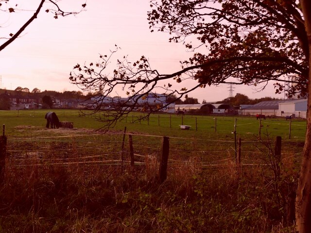
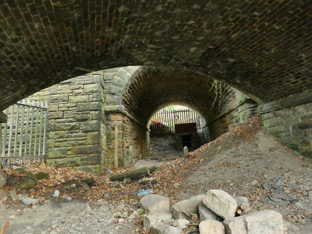
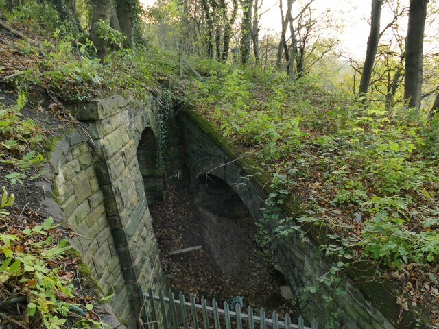
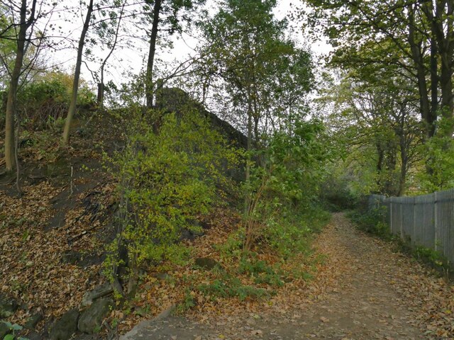
Long Plantation is a vast woodland located in the picturesque region of Yorkshire, England. Covering an expansive area, it is a prominent feature of the local landscape and attracts nature enthusiasts and outdoor enthusiasts alike. The plantation is nestled within a hilly terrain, providing stunning views and a rich biodiversity.
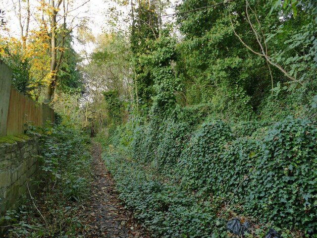
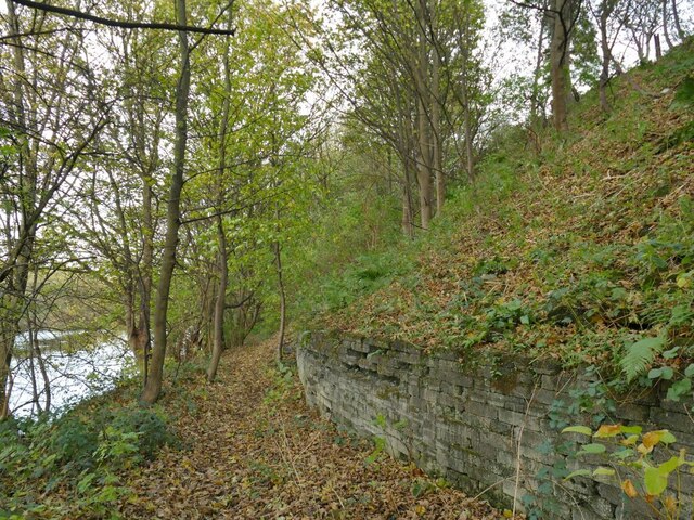
The woodland is characterized by its diverse range of trees, including oak, beech, birch, and pine. These towering giants create a dense canopy that filters sunlight, creating a serene and tranquil atmosphere. The forest floor is adorned with a carpet of ferns, mosses, and wildflowers, adding to the enchanting ambiance of the plantation.
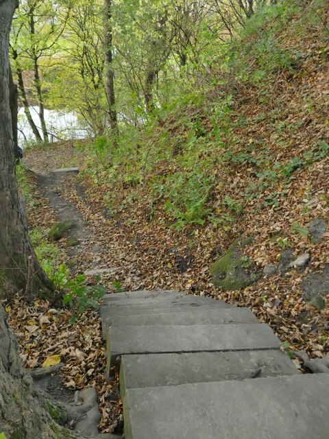
Long Plantation is renowned for its well-maintained network of walking trails, allowing visitors to explore the woodland at their own pace. These trails wind through the woodland, offering glimpses of wildlife such as deer, rabbits, and a variety of bird species. Nature enthusiasts can also spot squirrels scurrying among the trees or hear the rhythmic tapping of a woodpecker.
The woodland is not just a haven for wildlife but also a popular destination for outdoor activities. Visitors can partake in activities such as hiking, cycling, or horseback riding, making the most of the diverse terrain and stunning vistas that Long Plantation offers.
With its natural beauty, abundant wildlife, and range of activities, Long Plantation is a true gem of Yorkshire, attracting locals and tourists alike who seek solace and rejuvenation in the heart of nature.
If you have any feedback on the listing, please let us know in the comments section below.
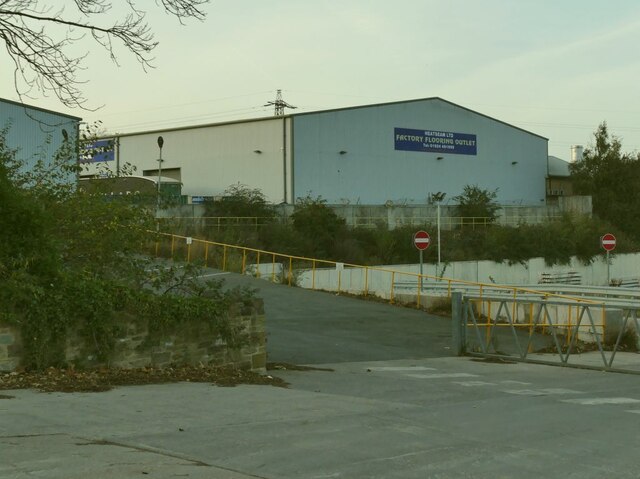
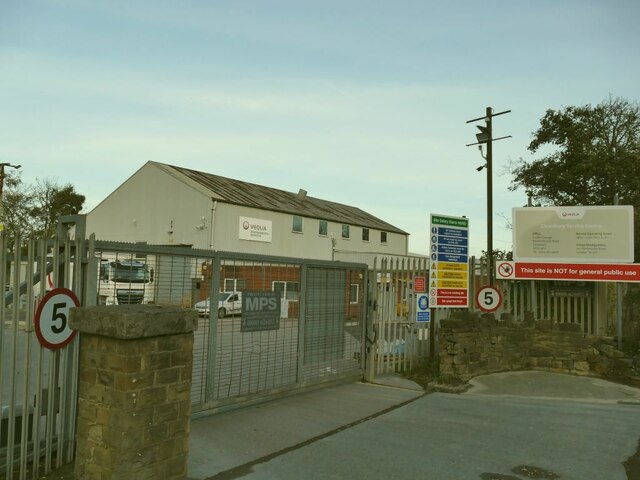
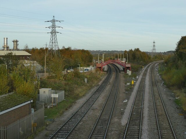
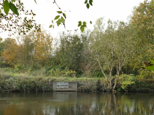
Long Plantation Images
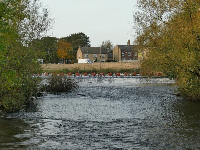
Images are sourced within 2km of 53.665404/-1.6592178 or Grid Reference SE2218. Thanks to Geograph Open Source API. All images are credited.

Long Plantation is located at Grid Ref: SE2218 (Lat: 53.665404, Lng: -1.6592178)
Division: West Riding
Unitary Authority: Kirklees
Police Authority: West Yorkshire
What 3 Words
///sand.even.massaging. Near Mirfield, West Yorkshire
Nearby Locations
Related Wikis
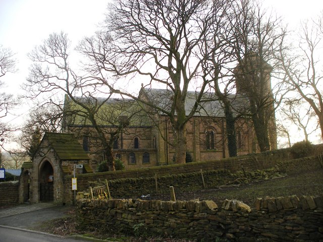
Whitley Lower
Whitley Lower is a village near Thornhill in Kirklees, West Yorkshire England. The parish church, dedicated to St Mary and St Michael, is part of the...

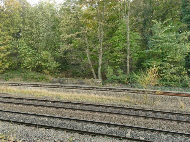
Ravensthorpe railway station
Ravensthorpe railway station serves the Ravensthorpe suburb of Dewsbury in West Yorkshire, England. It is situated on the Huddersfield line between Leeds...

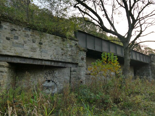
Thornhill power station
The Thornhill power station generated and supplied electricity to the town of Dewsbury and the wider regional area from 1902 to 1982, and again from 1998...

Dewsbury Bus Museum
The Dewsbury Bus Museum is a museum in Ravensthorpe, West Yorkshire, England. Opened to the public in September 1989, it is owned and operated by the West...
Nearby Amenities
Located within 500m of 53.665404,-1.6592178Have you been to Long Plantation?
Leave your review of Long Plantation below (or comments, questions and feedback).