Oliver Wood
Wood, Forest in Yorkshire
England
Oliver Wood

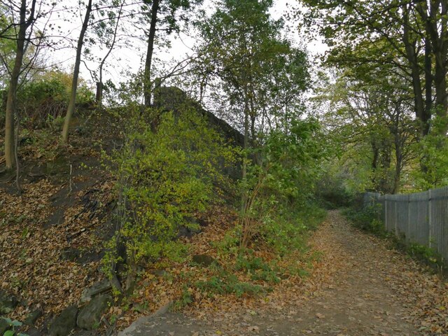
Oliver Wood, Yorkshire is a picturesque wooded area located in the heart of the Yorkshire Dales National Park, England. This enchanting forest is renowned for its stunning natural beauty and diverse wildlife, making it a popular destination for nature lovers and outdoor enthusiasts.
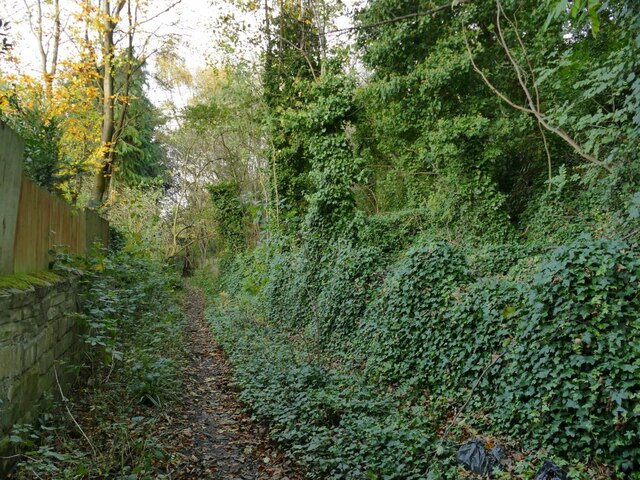
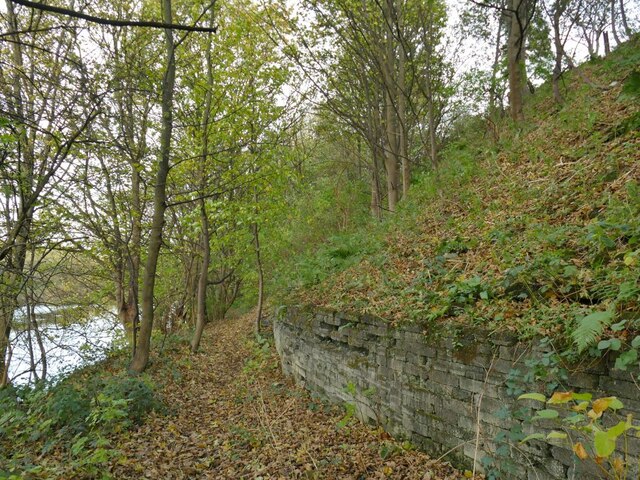
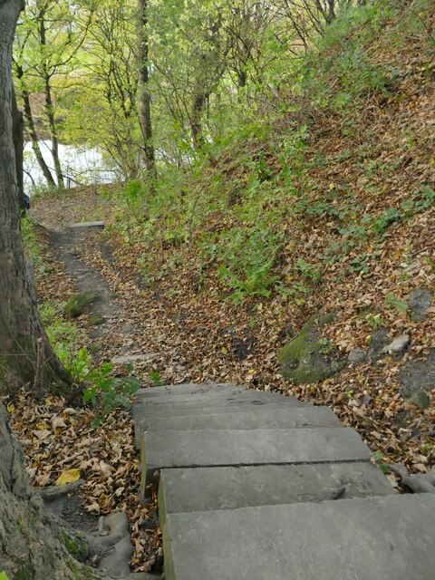
Covering an area of approximately 500 acres, Oliver Wood is characterized by its dense canopy of towering oak, beech, and ash trees, providing a haven for a wide range of flora and fauna. The forest floor is adorned with a rich carpet of bluebells, wild garlic, and ferns, creating a vibrant and tranquil atmosphere. Visitors can immerse themselves in the peaceful ambiance as they wander along the well-maintained trails that wind through the forest, offering breathtaking views and opportunities for birdwatching.
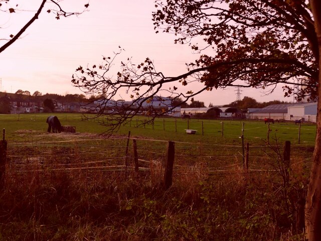
The woodland is home to various species of wildlife, including red squirrels, roe deer, and a diverse array of bird species, such as woodpeckers and tawny owls. It is not uncommon to spot these creatures amidst the tree branches or hear their calls echoing through the forest.
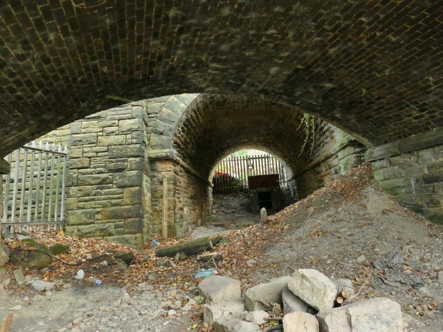
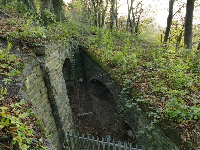
For those seeking more adventurous activities, Oliver Wood offers opportunities for camping, hiking, and mountain biking. The forest is crisscrossed with a network of trails, catering to all levels of fitness and experience. Additionally, the nearby Oliver River provides an ideal spot for fishing and picnicking.
Overall, Oliver Wood, Yorkshire is a hidden gem that showcases the natural beauty and tranquility of the Yorkshire Dales. It offers a haven for outdoor enthusiasts and nature lovers alike, providing an escape from the hustle and bustle of everyday life.
If you have any feedback on the listing, please let us know in the comments section below.
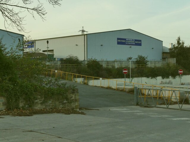
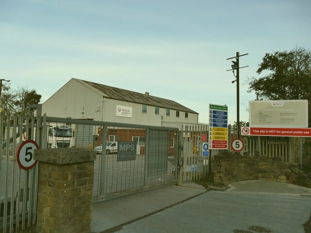
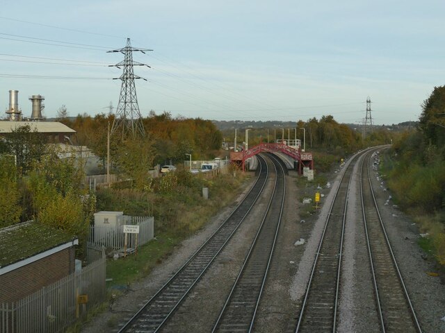
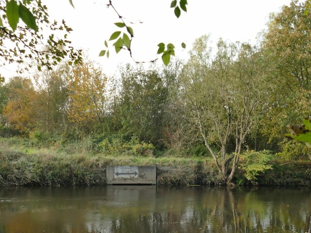
Oliver Wood Images
Images are sourced within 2km of 53.665129/-1.6670444 or Grid Reference SE2218. Thanks to Geograph Open Source API. All images are credited.


Oliver Wood is located at Grid Ref: SE2218 (Lat: 53.665129, Lng: -1.6670444)
Division: West Riding
Unitary Authority: Kirklees
Police Authority: West Yorkshire
What 3 Words
///cove.apes.hilltop. Near Mirfield, West Yorkshire
Nearby Locations
Related Wikis
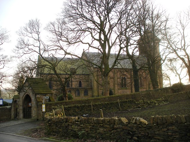
Whitley Lower
Whitley Lower is a village near Thornhill in Kirklees, West Yorkshire England. The parish church, dedicated to St Mary and St Michael, is part of the...

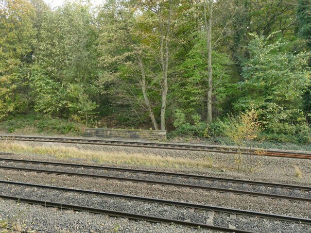
Ravensthorpe railway station
Ravensthorpe railway station serves the Ravensthorpe suburb of Dewsbury in West Yorkshire, England. It is situated on the Huddersfield line between Leeds...

Dewsbury Bus Museum
The Dewsbury Bus Museum is a museum in Ravensthorpe, West Yorkshire, England. Opened to the public in September 1989, it is owned and operated by the West...

Thornhill power station
The Thornhill power station generated and supplied electricity to the town of Dewsbury and the wider regional area from 1902 to 1982, and again from 1998...
Mirfield Show
Mirfield Show is an annual agricultural show held at the Huddersfield Road Showground in Mirfield, West Yorkshire, England on the third Sunday in August...

Mirfield railway station
Mirfield railway station serves the town of Mirfield in West Yorkshire, England. It lies on the Huddersfield Line and is managed by both Northern and Grand...

St Mary's Church, Mirfield
St Mary's Church is the parish church of the town of Mirfield in West Yorkshire, England. The current building is a large Gothic Revival structure designed...
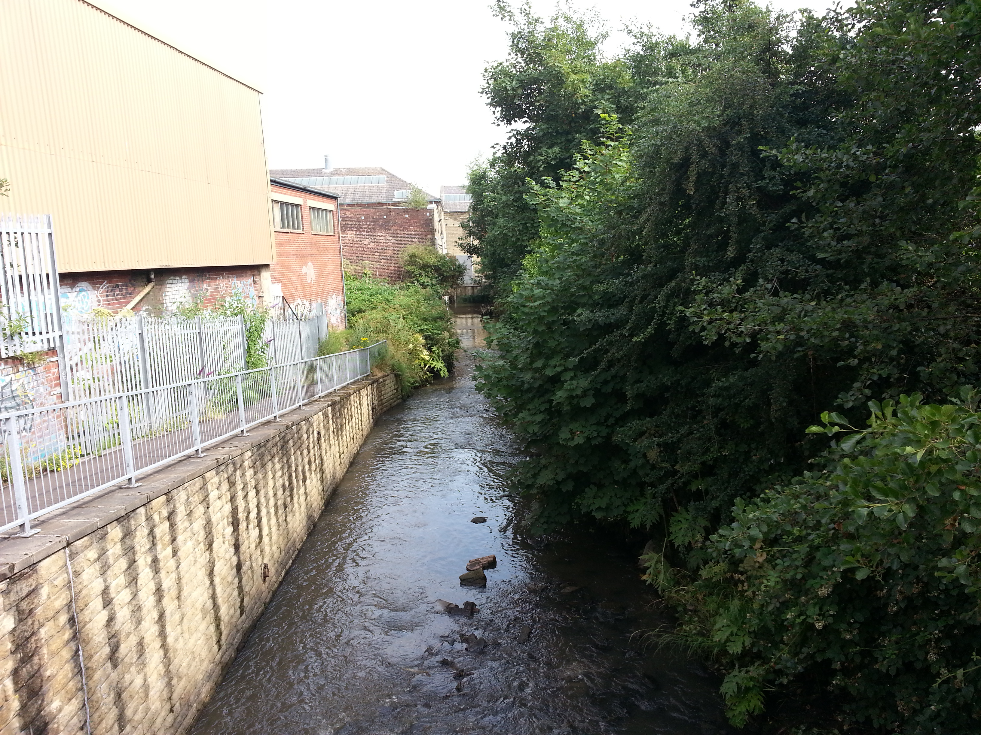
River Spen
The River Spen or Spen Beck, in West Yorkshire, England is a tributary of the River Calder. It rises north of Cleckheaton, runs through Liversedge and...
Nearby Amenities
Located within 500m of 53.665129,-1.6670444Have you been to Oliver Wood?
Leave your review of Oliver Wood below (or comments, questions and feedback).