Ell Brake
Wood, Forest in Gloucestershire Cotswold
England
Ell Brake

Ell Brake is a picturesque woodland area located in Gloucestershire, England. It is situated within the Forest of Dean, a renowned ancient forest known for its natural beauty and rich biodiversity. Ell Brake covers an area of approximately 200 acres and is a popular destination for nature enthusiasts, hikers, and wildlife lovers.
This woodland is characterized by its dense canopy of towering trees, predominantly consisting of oak and beech. The forest floor is adorned with a vibrant carpet of mosses, ferns, and wildflowers, adding to the area's allure. The diverse ecosystem of Ell Brake provides a habitat for numerous species of birds, mammals, and insects, making it a prime spot for wildlife sightings and birdwatching.
The woodland is intersected by a network of well-marked trails, allowing visitors to explore the area at their own pace. These paths wind through the forest, offering glimpses of sparkling streams, tranquil ponds, and ancient trees. The peaceful atmosphere and natural serenity of Ell Brake make it an ideal location for those seeking solitude or a break from the hustle and bustle of city life.
Additionally, the proximity of Ell Brake to other attractions within the Forest of Dean, such as Symonds Yat Rock and Puzzlewood, makes it an attractive destination for day trips or longer stays. Visitors can engage in activities like hiking, wildlife photography, or simply immersing themselves in the natural beauty of the surroundings.
Overall, Ell Brake in Gloucestershire is a captivating woodland area that offers visitors a chance to connect with nature and explore the enchanting wonders of the Forest of Dean.
If you have any feedback on the listing, please let us know in the comments section below.
Ell Brake Images
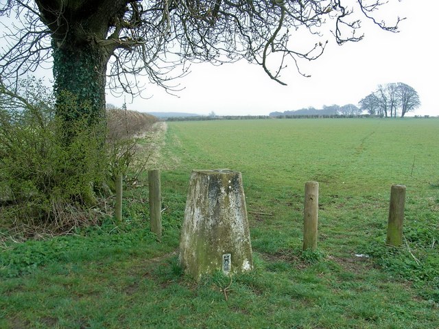
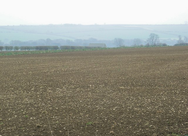
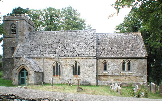
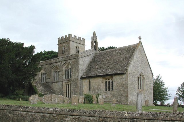
Images are sourced within 2km of 51.851477/-1.6780574 or Grid Reference SP2217. Thanks to Geograph Open Source API. All images are credited.


Ell Brake is located at Grid Ref: SP2217 (Lat: 51.851477, Lng: -1.6780574)
Administrative County: Gloucestershire
District: Cotswold
Police Authority: Gloucestershire
What 3 Words
///investors.cutback.friction. Near Burford, Oxfordshire
Nearby Locations
Related Wikis

RAF Little Rissington
Royal Air Force Little Rissington or more simply RAF Little Rissington (ICAO: EGVL) is an Royal Air Force satellite station in Gloucestershire, England...

Fifield, Oxfordshire
Fifield is a village and civil parish about 4 miles (6.4 km) north of Burford in Oxfordshire. The western boundary of the parish forms part of the county...

Great Rissington
Great Rissington is a village in the Cotswold district of Gloucestershire, England. The population taken at the 2011 census was 367. == History == In the...

Upper Rissington
Upper Rissington is a village and civil parish in the Cotswold district of Gloucestershire, England. It is located about two-and-a-half miles east of Bourton...

Bruern
Bruern or Bruern Abbey is a hamlet and civil parish on the River Evenlode about 6 miles (10 km) north of Burford in West Oxfordshire. The 2001 Census recorded...
Westcote, Gloucestershire
Westcote is a civil parish in the Cotswold district, in the county of Gloucestershire, England. The village is about 4 miles (6 km) south-southeast of...
Idbury
Idbury is a village and civil parish in the Cotswold Hills in Oxfordshire, about 4+1⁄2 miles (7 km) southeast of Stow-on-the-Wold in neighbouring Gloucestershire...

Taynton, Oxfordshire
Taynton is a village and civil parish about 1+1⁄2 miles (2.4 km) northwest of Burford in West Oxfordshire. The village is on Coombe Brook, a tributary...
Have you been to Ell Brake?
Leave your review of Ell Brake below (or comments, questions and feedback).