Choake's Brake
Wood, Forest in Oxfordshire West Oxfordshire
England
Choake's Brake
Choake's Brake is a picturesque woodland located in Oxfordshire, England. Covering an area of approximately 100 acres, it is nestled within the stunning Chiltern Hills, a designated Area of Outstanding Natural Beauty. The woodland is primarily composed of native broadleaf trees, including oak, beech, and ash, creating a diverse and vibrant ecosystem.
The name "Choake's Brake" is derived from the word "brake," meaning a thicket or dense area of undergrowth. This is fitting, as the woodland boasts a lush understorey of ferns, bluebells, and wildflowers, adding to its enchanting atmosphere. The forest floor is carpeted with a rich layer of leaf litter, providing a habitat for a variety of small mammals, birds, and insects.
Visitors to Choake's Brake can enjoy a network of well-maintained footpaths that wind through the woodland, allowing them to explore its natural beauty at their leisure. The tranquility and seclusion offered by the woodland make it a popular destination for nature enthusiasts, walkers, and wildlife photographers.
In addition to its natural splendor, Choake's Brake also holds historical significance. It is believed that the woodland has been in existence for centuries, acting as a haven for wildlife and a valuable resource for local communities. Today, it stands as a testament to the importance of preserving and appreciating the natural wonders of Oxfordshire.
If you have any feedback on the listing, please let us know in the comments section below.
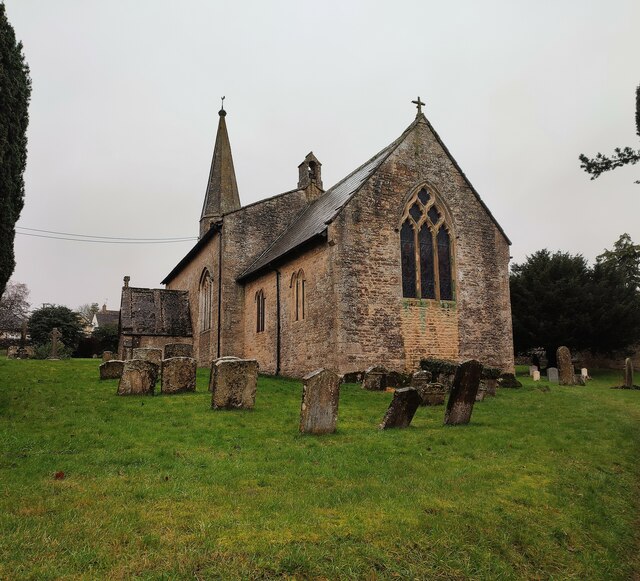
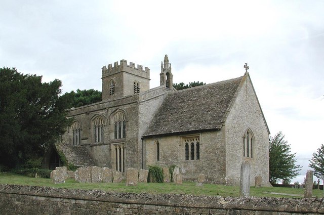
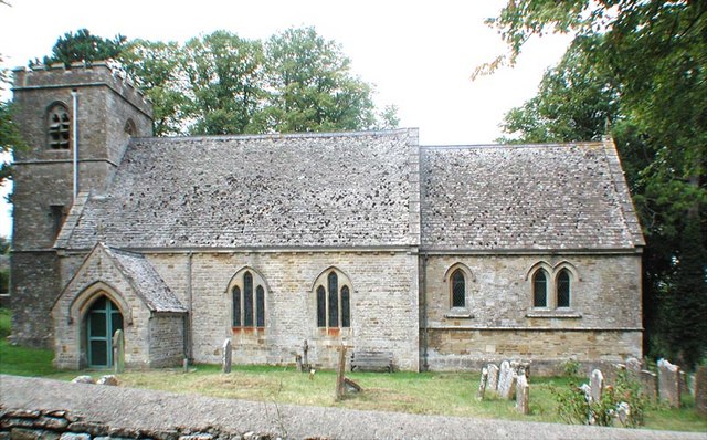
Choake's Brake Images
Images are sourced within 2km of 51.85692/-1.6726462 or Grid Reference SP2217. Thanks to Geograph Open Source API. All images are credited.


Choake's Brake is located at Grid Ref: SP2217 (Lat: 51.85692, Lng: -1.6726462)
Administrative County: Oxfordshire
District: West Oxfordshire
Police Authority: Thames Valley
What 3 Words
///importing.wooden.chuck. Near Shipton under Wychwood, Oxfordshire
Nearby Locations
Related Wikis

Fifield, Oxfordshire
Fifield is a village and civil parish about 4 miles (6.4 km) north of Burford in Oxfordshire. The western boundary of the parish forms part of the county...

RAF Little Rissington
Royal Air Force Little Rissington or more simply RAF Little Rissington (ICAO: EGVL) is an Royal Air Force satellite station in Gloucestershire, England...

Bruern
Bruern or Bruern Abbey is a hamlet and civil parish on the River Evenlode about 6 miles (10 km) north of Burford in West Oxfordshire. The 2001 Census recorded...
Idbury
Idbury is a village and civil parish in the Cotswold Hills in Oxfordshire, about 4+1⁄2 miles (7 km) southeast of Stow-on-the-Wold in neighbouring Gloucestershire...
Westcote, Gloucestershire
Westcote is a civil parish in the Cotswold district, in the county of Gloucestershire, England. The village is about 4 miles (6 km) south-southeast of...

Upper Rissington
Upper Rissington is a village and civil parish in the Cotswold district of Gloucestershire, England. It is located about two-and-a-half miles east of Bourton...

Great Rissington
Great Rissington is a village in the Cotswold district of Gloucestershire, England. The population taken at the 2011 census was 367. == History == In the...

Bould
Bould is a hamlet in Idbury civil parish, Oxfordshire, about 4.5 miles (7.2 km) southeast of Stow-on-the-Wold in neighbouring Gloucestershire. == External... ==
Have you been to Choake's Brake?
Leave your review of Choake's Brake below (or comments, questions and feedback).